-
-
Add to cart

 Quick View
 - Americas, North America, Pacific Northwest - Hawaii - Alaska, United States
A Chart of North and South America, Including the Atlantic and Pacific Oceans, with the nearest Coasts of Europe, Africa, and Asia
- $4,200
- Sayer-Bennet-Mead's 1775 chart of the Western Hemisphere with Pacific and Arctic routes of exploration.
-
-
-
-
-
Add to cart
 Quick View
 - North America, California, Americas, Mexico - Central & South America
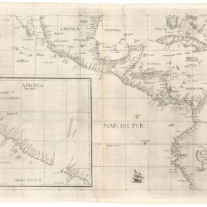
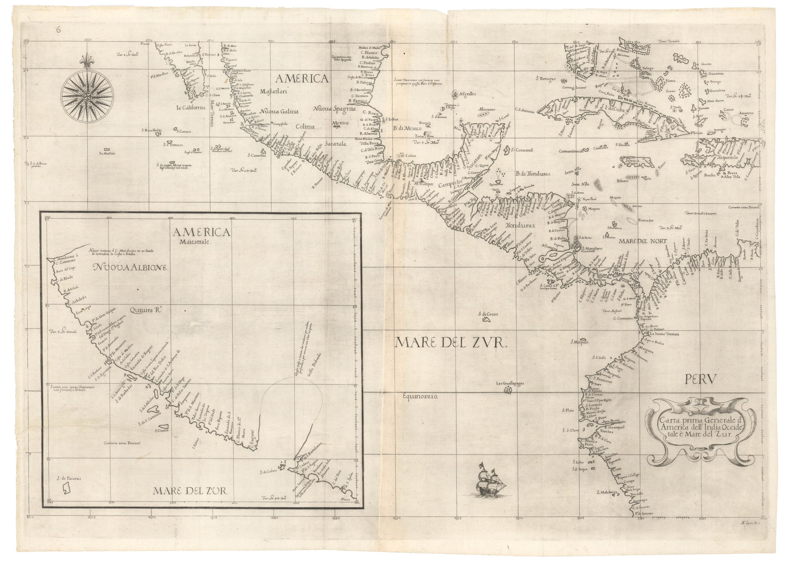
Carta prima generale d’America dell’India Occidentale e Mare del Zur.
- $7,000
- The earliest published sea chart to focus on the California coast!
-
-
-
-
-
Add to cart

 Quick View
 - Americas, California, Michael's Collection, North America
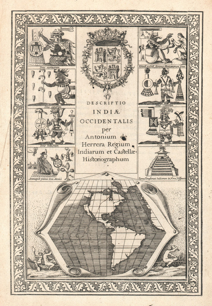
Descriptio Indiae Occidentalis per Antonium de Herrera.
- $3,600
- The first map to show California as an island!
-
-
-