-
-
Add to cart
 Quick View
 - Featured Maps & Views, Pacific Northwest - Hawaii - Alaska
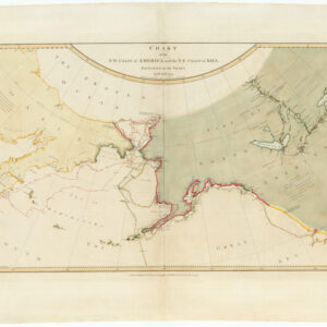
Chart of the N. W. Coast of America and the N. E. Coast of Asia, Explored in the Years 1778 and 1779. Prepared by Lieut’t Henry Roberts, under the immediate Inspection of Capt. Cook.
- $8,500
- The "Legendary lost chart of Captain Cook" - Rare first edition.
-
-
-
-
-
Add to cart

 Quick View
 - California, Pacific Northwest - Hawaii - Alaska
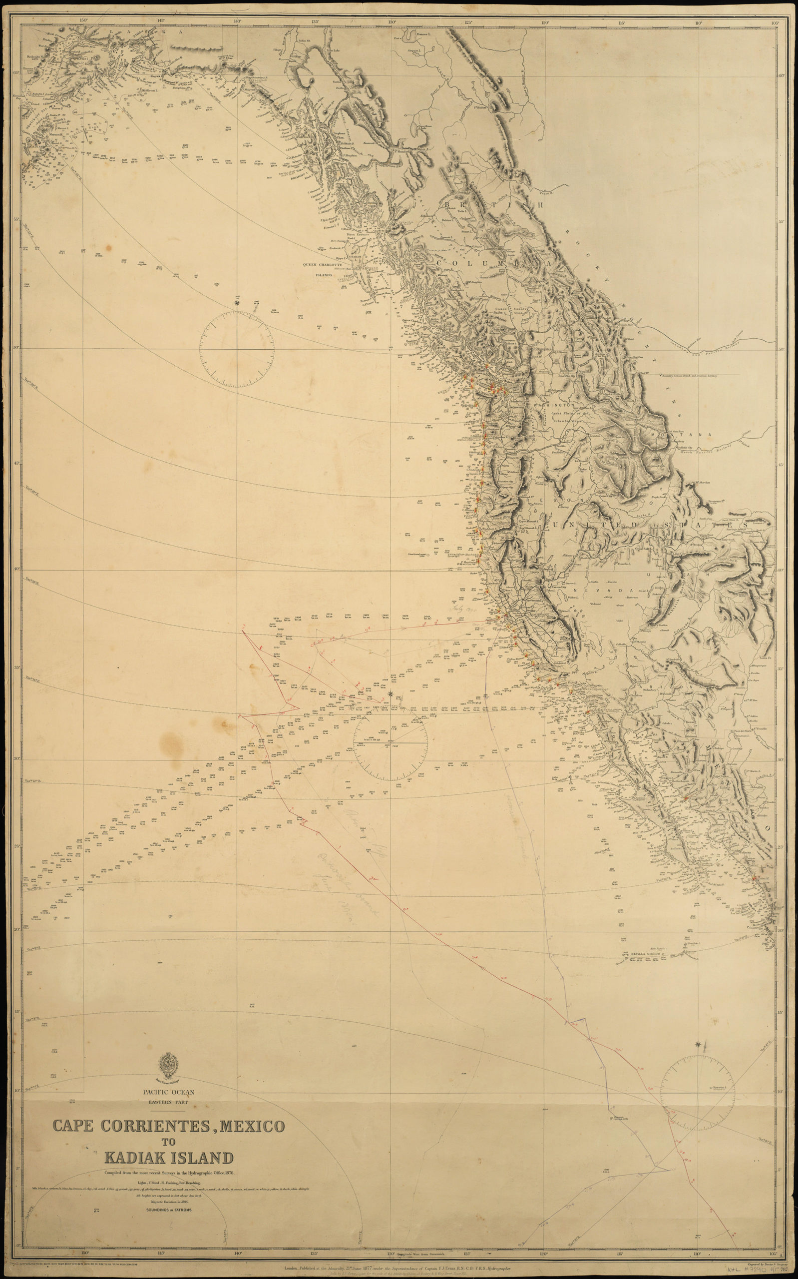
Pacific Ocean. Eastern Part. Cape Corrientes, Mexico to Kadiak Island. Compiled from the most recent Surveys in the Hydrographical Office. 1876. London, 21 June 1877
- $900
- Large, detailed sea chart of the West Coast of North America with added notations and sighting information.
-
-
-