-
-
Add to cart
 Quick View
- East & Midwest United States, United States
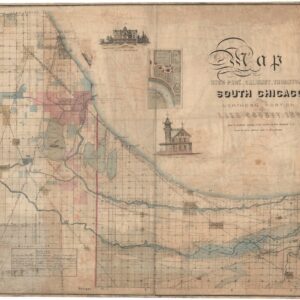
Map of Hyde Park, Calumet, Thornton, South Chicago and Northern Portion of Lake County, Ind. owing to the natural advantages of its situation South Chicago is to become the great industrial center of the north west.
- $8,500
- Exceedingly Rare South Chicago Map published just months before the Great Chicago Fire of 1871.
-
-
-
-
Add to cart
 Quick View
- Texas and The West, United States
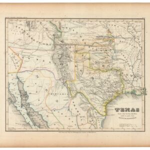
Texas Nach den besten Quellen entw. U. Gez. Vom Hauptm. Radefeld.
- $1,200
- Rare second edition of Meyer's map of Texas and the Southwestern U.S. with substantial updates and revisions.
-
-
-
-
Add to cart
 Quick View
- United States
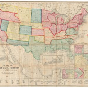
Military Map of the United States & Territories Showing the Location of the Military Posts, Arsenals, Navy Yards, & Ports of Entry.
- 1861 Civil War Map Showing Arizona as a Confederate Territory, and Among the First Maps to Show the Three New Territories of Colorado, Dakota, and Nevada.
-
-
-
-
Add to cart
 Quick View
- United States
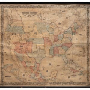
Colton’s Map of the United States of America, The British Provinces, Mexico and The West Indies Showing the Country from the Atlantic to the Pacific Ocean. New York, 1855.
- $3,800
- Colton's 1855 Wall Map of the United States: The Rarest Known State, and the First to Show Gadsden Purchase Borders.
-
-
-
-
Add to cart
 Quick View
- East & Midwest United States, Featured Maps & Views, United States
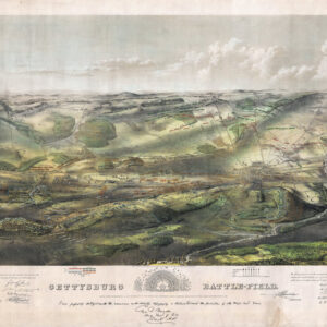
Gettysburg Battle-Field.
- $2,400
- Bachelder's iconic 1863 view of the Battle of Gettysburg.
-
-
-
-
Add to cart
 Quick View
- Atlases & Books, California, Texas and The West
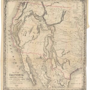
Map of California, Oregon, Texas, and the territories adjoining, with routes &c.
- $1,900
- Colton’s iconic map of the West, with California Gold region and extended Texas borders.
-
-
-
-
Add to cart
 Quick View
- Featured Maps & Views, United States
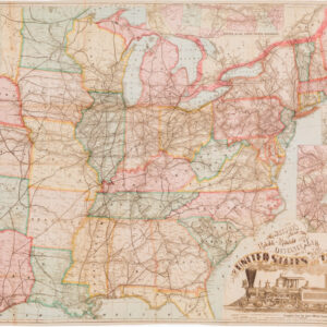
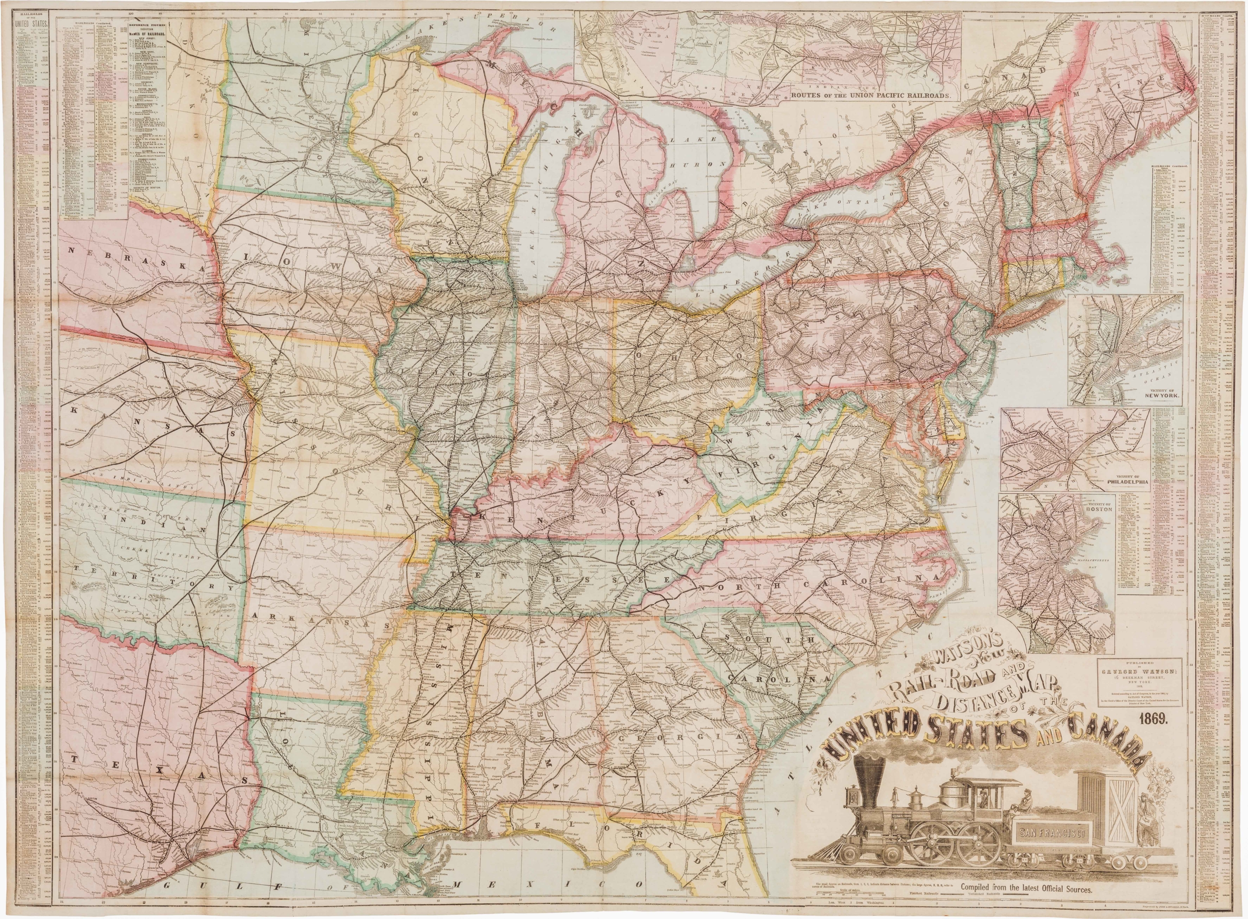
Watson’s New Rail Road and Distance Map of the United States and Canada.
- $3,800
- Among the finest railroad maps of America made in the 19th century.
-
-

-
-
-
Add to cart
 Quick View
- Curiosities - Miscellanea, East & Midwest United States
[Untitled] Portraits and facsimile signatures of 48 American patriots.
- $2,400
- A formative sheet in patriotic printing.
-
-
-
-
Add to cart

 Quick View
- Bird's-eye-views, East & Midwest United States, Featured Maps & Views
[First State] Panorama of the Seat of the War Birds Eye View of Virginia, Maryland, Delaware and the District of Columbia
- $2,200
- Bachmann's dramatic 1861 panoramic view of the central theater of the American Civil War.
-
-
-
-
-
Add to cart
 Quick View
- California, San Francisco
[Seventeen original Taber albumen photographs of California and Oregon]
- $975
- An extraordinary collection of late 19th-century photographs from America's West Coast.
-
-
-
-
Add to cart
 Quick View
- Atlases & Books, Bay Area & Silicon Valley, California
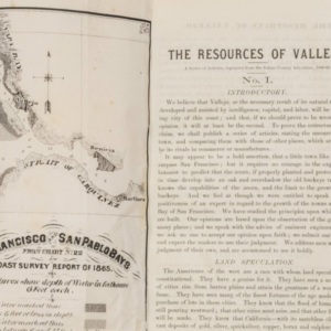
The Resources of Vallejo: A series of articles, reprinted from the Solano County Advertiser, 1868-69
- $3,200
- An early promotional booklet on Vallejo with two very rare folding maps.
-
-
-
-
Add to cart
 Quick View
- Texas and The West
Map of That Portion of the Boundary between the United States and Mexico From the Pacific Coast To The Junction of the Gila and Colorado Rivers… Showing also the Limits of the Treaty Negotiated by the Hon. James Gadsden
- $3,200
- Rare and Detailed Map of the Gadsden Purchase Frontier, 1855.
-
-