-
-
Add to cart
 Quick View
 - East & Midwest United States, Featured Maps & Views
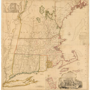
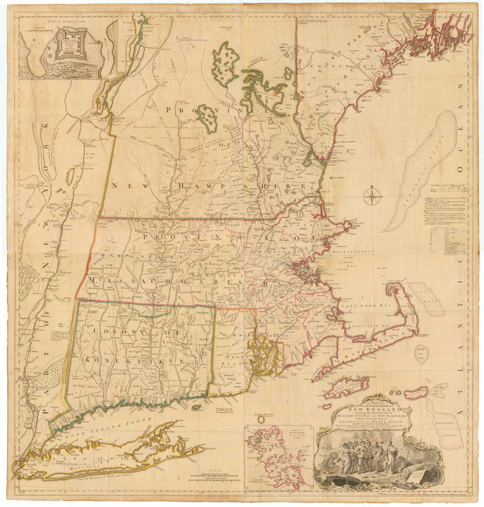
A MAP of the most INHABITED part of NEW ENGLAND, containing the PROVINCES of MASSACHUSETS BAY and NEW HAMPSHIRE, with the COLONIES of KONEKTIKUT AND RHODE ISLAND. Divided into Counties and Townships: The whole composed of Actual Surveys and its situation adjusted by ASTRONOMICAL OBSERVATIONS.
- $55,000
- Unobtainable first state of one of the most influential maps of New England ever made.
-
-
-
-
-
Add to cart
 Quick View
 - United States
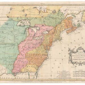
Carte des Possessions Angloises & Francoises du Continent de L’Amerique Septentrionale 1755.
- $7,500
- An early state of Jean Palairet’s map depicting English and French possessions in America.
-
-
-
-
Add to cart
 Quick View
 - Canada and The Great Lakes
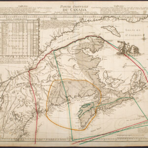
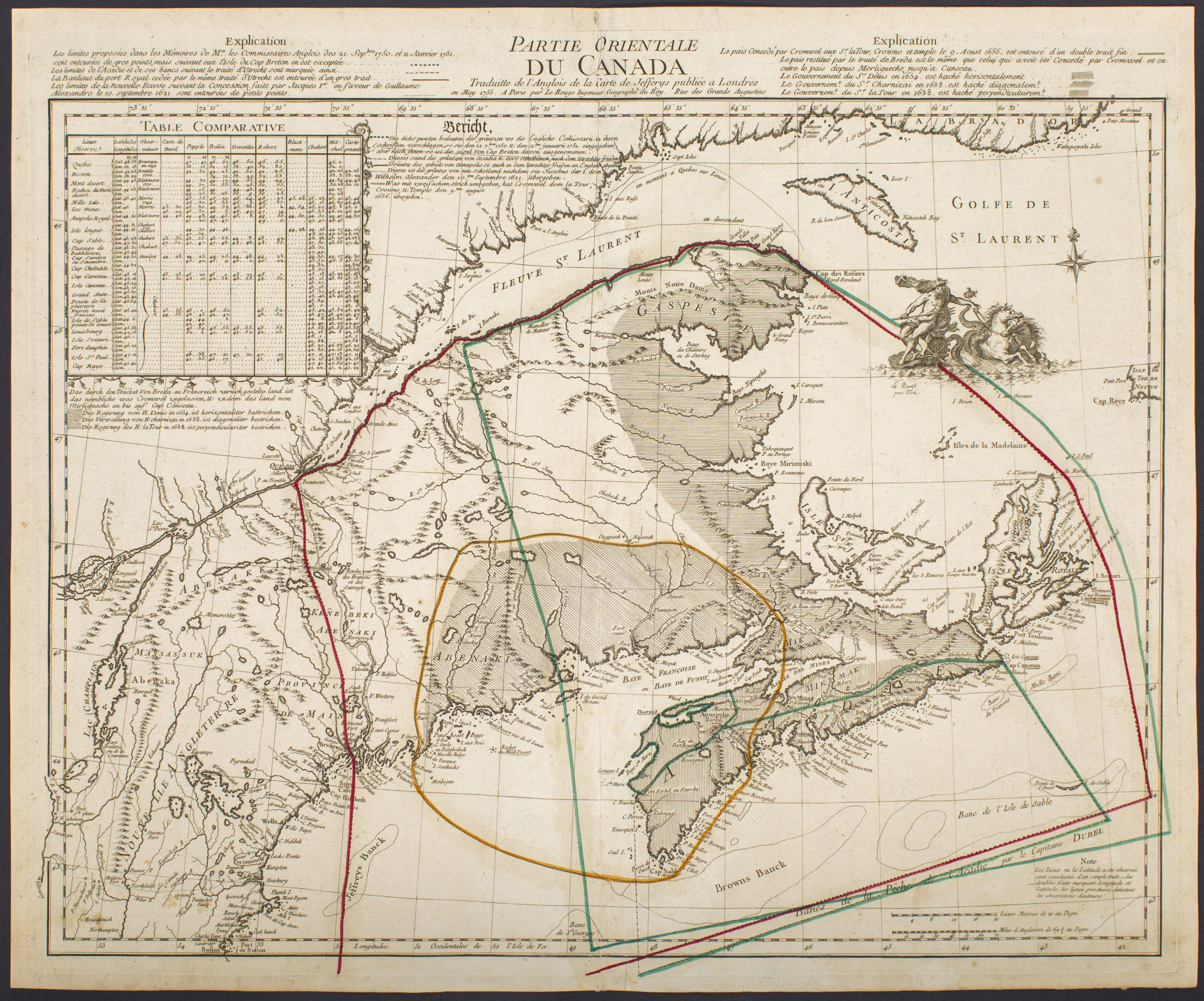
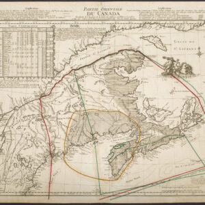
Partie Orientale Du Canada Traduite de l’Anglois de Carte de Jefferys publiée a Londres en May 1755…
- $2,850
- Scarce 1755 map of French and British historical claims, published in Paris on the eve of the Seven Years’ War.
-
-
-