-
-
Add to cart
 Quick View
 - Featured Maps & Views, Pacific Northwest - Hawaii - Alaska
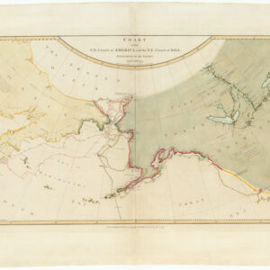
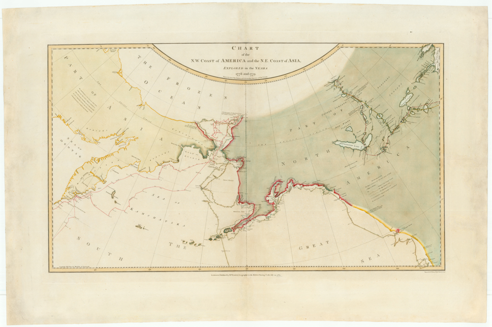
Chart of the N. W. Coast of America and the N. E. Coast of Asia, Explored in the Years 1778 and 1779. Prepared by Lieut’t Henry Roberts, under the immediate Inspection of Capt. Cook.
- $8,500
- The "Legendary lost chart of Captain Cook" - Rare first edition.
-
-
-
-
-
Add to cart

 Quick View
 - Atlases & Books
Narrative of a Voyage to the Pacific and Beering’s Strait, to Co-operate with the Polar Expeditions: Performed in His Majesty’s Ship Blossom, Under the Command of Captain F.W. Beechey…in the Years 1825, 26, 27, 28
- $5,500
- The preferred large-paper Admiralty issue of Beechey’s famous account, including a description of California.
-
-
-