Andrew Dury was a British map-maker and print publisher who operated out of Duke’s Court on St. Martin’s Lane in London during the second half of the 18th century. Even though he was an accomplished cartographer with major commissions, he never reached the level of success attained by contemporaries such as Thomas Jefferys or William Faden. Consequently, his beautiful maps have become quite rare and are today sought-after collectors’ items.
Dury’s name is normally associated with Major James Rennell’s large India maps, but he was also responsible for Revolutionary War-era plans of Boston and Philadelphia, as well as a series of maps related to the Russo-Turkish War of 1768-74.
-
-
Add to cartQuick View
- Europe, Italy
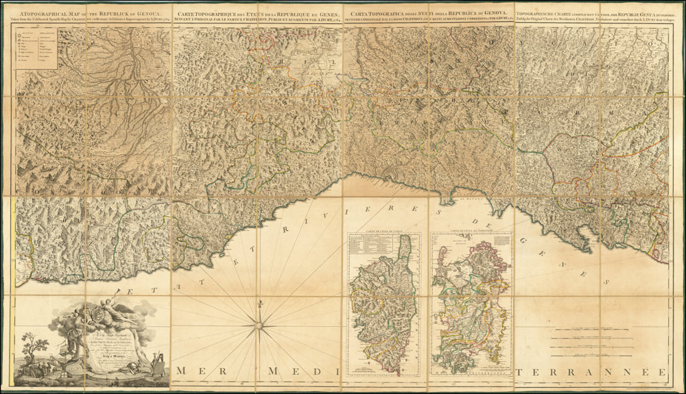
A Topographical Map of the Republick of Genoua, Taken from the Celebrated Map by Chaffrion…1764 / To the Right Honourable James Steward Mackenzie, Lord Privy Seal of Scotland, One of His Majesty’s most Honourable Privy Council, and Late His Majesty’s Envoy Extraordinary and Plenipoteniary to the King Of Sardina. This Map is most Humbly Inscribed…
- $4,400
- A spectacular and historically important 18th century wall-map of the Republic of Genoa.
-
Add to cart
Archived
- Out of Stock
- North America, United States
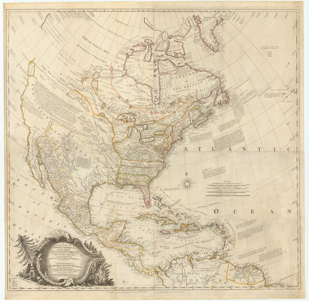
A GENERAL MAP OF NORTH AMERICA; In which is Express’d The Several New Roads, Forts, Engagements, &c. taken from Actual Surveys and Observations Made in the Army employ’d there, From the Year 1745, to 1761: Drawn by the Late JOHN ROCQUE, Topographer to his MAJESTY.
- The most accurate map of the continent at the time, finalized and published by the first female cartographer to depict North America.
- Read moreQuick View
-


