-
-
Add to cart
 Quick View
 - Arabia and the Red Sea, Middle East - Holy Land Maps
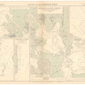
British Admiralty Chart No. 3789. Plans in the Persian Gulf.
- $2,400
- A British Admiralty map of the Persian Gulf, created at the dawn of Arabia’s emergent oil industry.
-
-
Archived
- Out of Stock
- Mexico - Central & South America
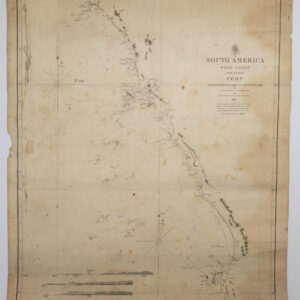
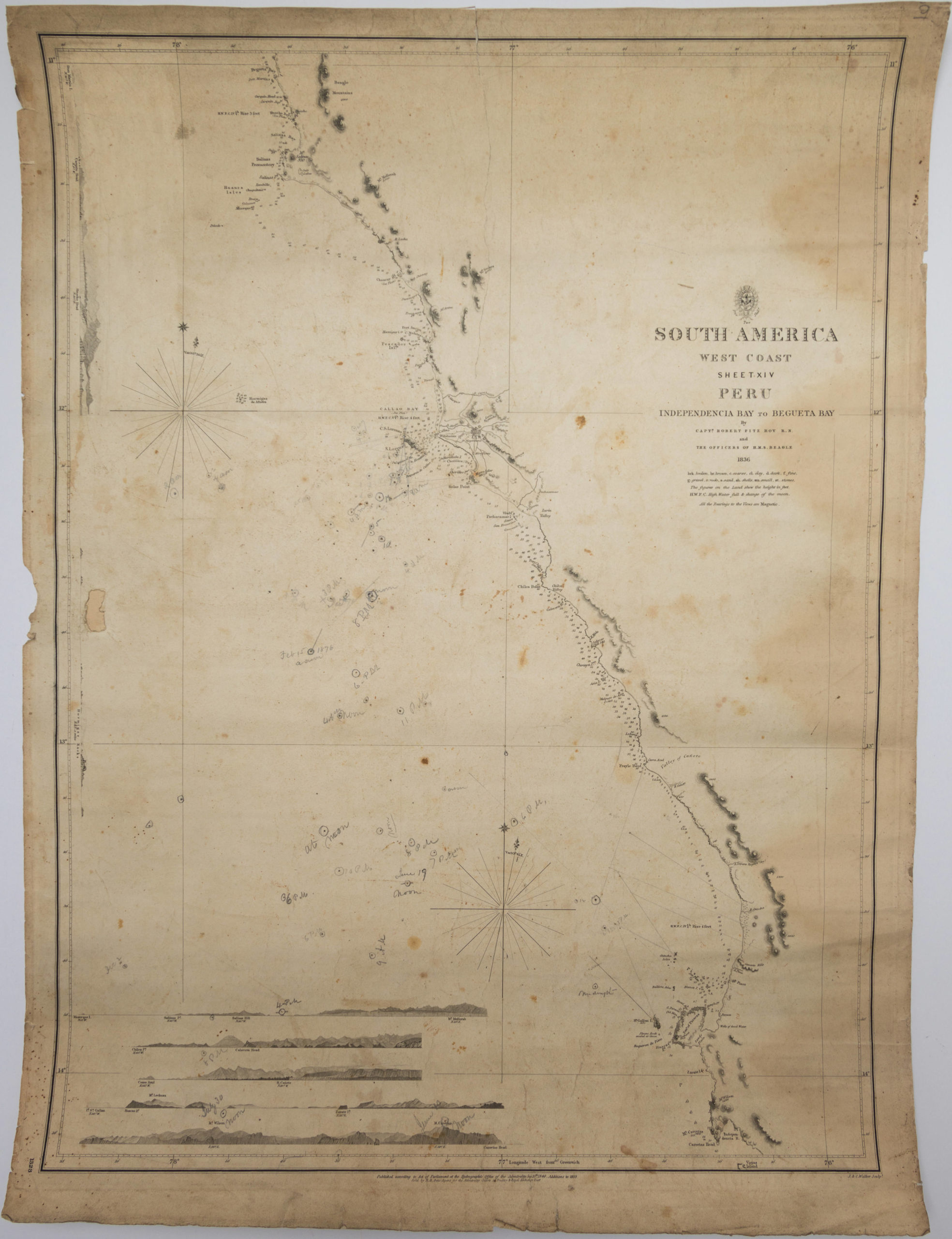
South America West Coast Sheet XIV Peru. Independencia Bay to Begueta Bay…
- Chart surveyed by the H.M.S. Beagle (Darwin's ship) with sextant pencil notations showing it was used at sea.
- Read moreQuick View
-
- Out of Stock
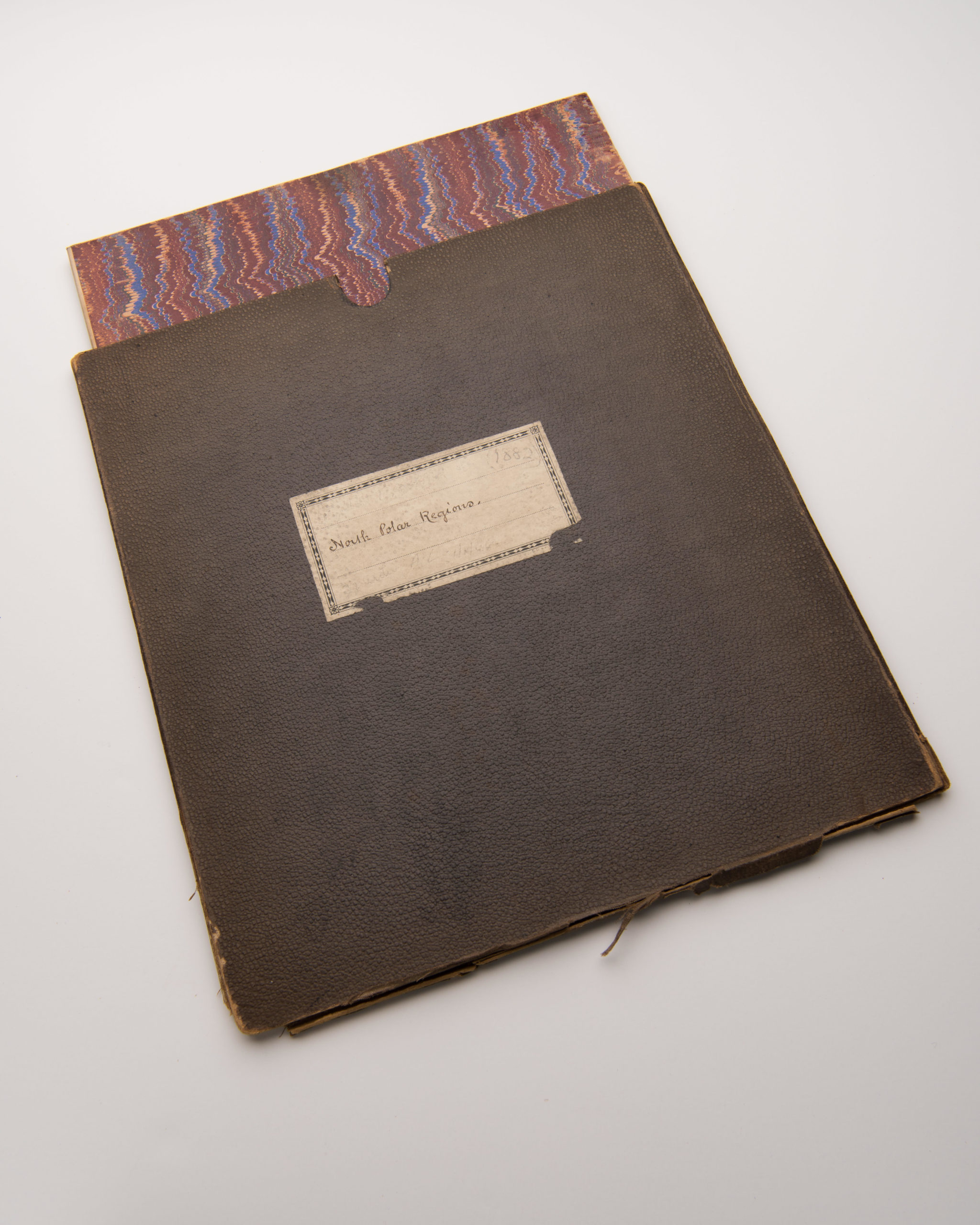
- Polar - Arctic
Chart of the North Polar Seas
- Linen-backed 1890 British Admiralty chart of the polar seas
- Read moreQuick View
-