Covens & Mortier were a dynamic publishing duo working out of Amsterdam in the 18th century. Johannes Covens (1697-1774) was a Dutch geographic publisher based in the capital, whereas as Cornelis Mortier (1699-1783) was the Dutch-born son of a French cartographic publisher working out of Amsterdam.
Mortier’s father, Pierre Mortier the Elder (1661-1711) had in 1690 obtained the king’s privilege to distribute the works of French geographers in the Netherlands and subsequently settled in Amsterdam to build his business. Following his death, Cornelis took over his father’s business in 1719 and partnered up with his brother-in-law, Johannes Covens, a couple of years later. The pair soon began publishing maps and atlases under the name Covens & Mortier. Over the ensuing decades, the business passes from one generation to the next, effectively maintain the Covens & Mortier brand throughout the 18th century (but changing the name several times along the way).
As a result of Mortier Senior’s original privilege, the firm specialized in re-issuing iconic French geographers such as de l’Isles, Jaillot, and Sanson. But they did not limit themsleves to French products alone. In 1725, the duo reissued Frederik de Wit’s Atlas Maior from 1705, just as they issued their own pocket- and town atlases. They also purchased plates from other firms and mapmakers and modified them according to their commercial vision. Among the plates subsumed under the Covens & Mortier brand were those of Pieter van der Aa, which were acquired in 1730. This was also the heyday of the firm, when it supposedly owned the single largest collection of cartographic prints ever accumulated in the mapmaking city of Amsterdam.
Archived
- Out of Stock
- Polar - Arctic
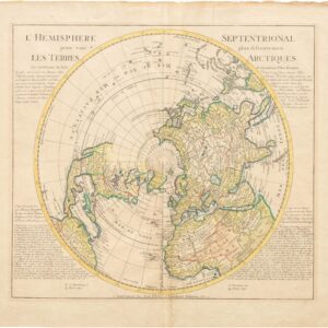
Hemisphere Septentrional pour voir plus distinctement Les Terres Arctiques…
- Detailed Northern Hemisphere map by Covens & Mortier with the Latest Voyages.
- Read moreQuick View
-
- Out of Stock
- France & Switzerland
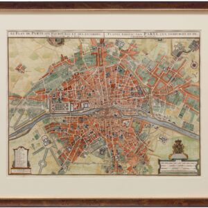
Le Plan de Paris, ses Faubourgs et ses Environs / Platte Grond van Parys, zyn Voorburgen en Omleggende Plaatse
- Stunning hand-colored 1730 map of Paris
- Read moreQuick View
-
- Out of Stock
- Africa
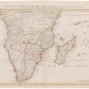
Carte du Congo et du Pays des Cafres
- Exceptionally-detailed map of South Africa and Madagascar.
- Read moreQuick View
-


