Guillaume de l’Isle (1675-1726) was a French cartographer who was a key figure in the transition toward a more scientifically grounded cartography.
He was renowned for the extraordinary quality and accuracy of his maps. Especially his depictions of North America stand as some of the most critical milestones in mapping the continent, as they were based on the most up-to-date information available and had been culled of all mythical or imagined augmentations. De L’Isle also recalculated latitude and longitude based on the most recent celestial observations and incorporated these revisions onto his maps. In doing so, he set new entirely standards for cartographic accuracy.
De l’Isle came from a family of French cartographers, though none were as acclaimed as he would become. He trained under his father from an early age and later studied mathematics and astronomy under Cassini. This combination of practical mapmaking experience and a deep scientific understanding of cartographic principles allowed De l’Isle to become one of the most significant figures in early 18th-century cartography.
De l’Isle established his firm in his twenties, issuing his first atlas in 1700. Two years later, he became a member of the Royal Academy and moved his firm to the Quai de Horloge, a center for printing and mapmaking in Paris. In the following years, Guillaume De L’Isle would produce some of his repertoire’s most iconic and essential maps. In 1718, he was appointed Royal Geographer to King Louis XIV, a position which he maintained under Louis XV until his premature death in 1726.
-
-
Add to cartQuick View
- Americas, Cuba, West Indies, Caribbean, East & Midwest United States, Texas and The West, United States
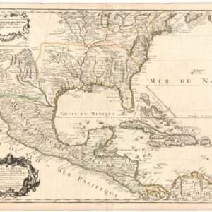
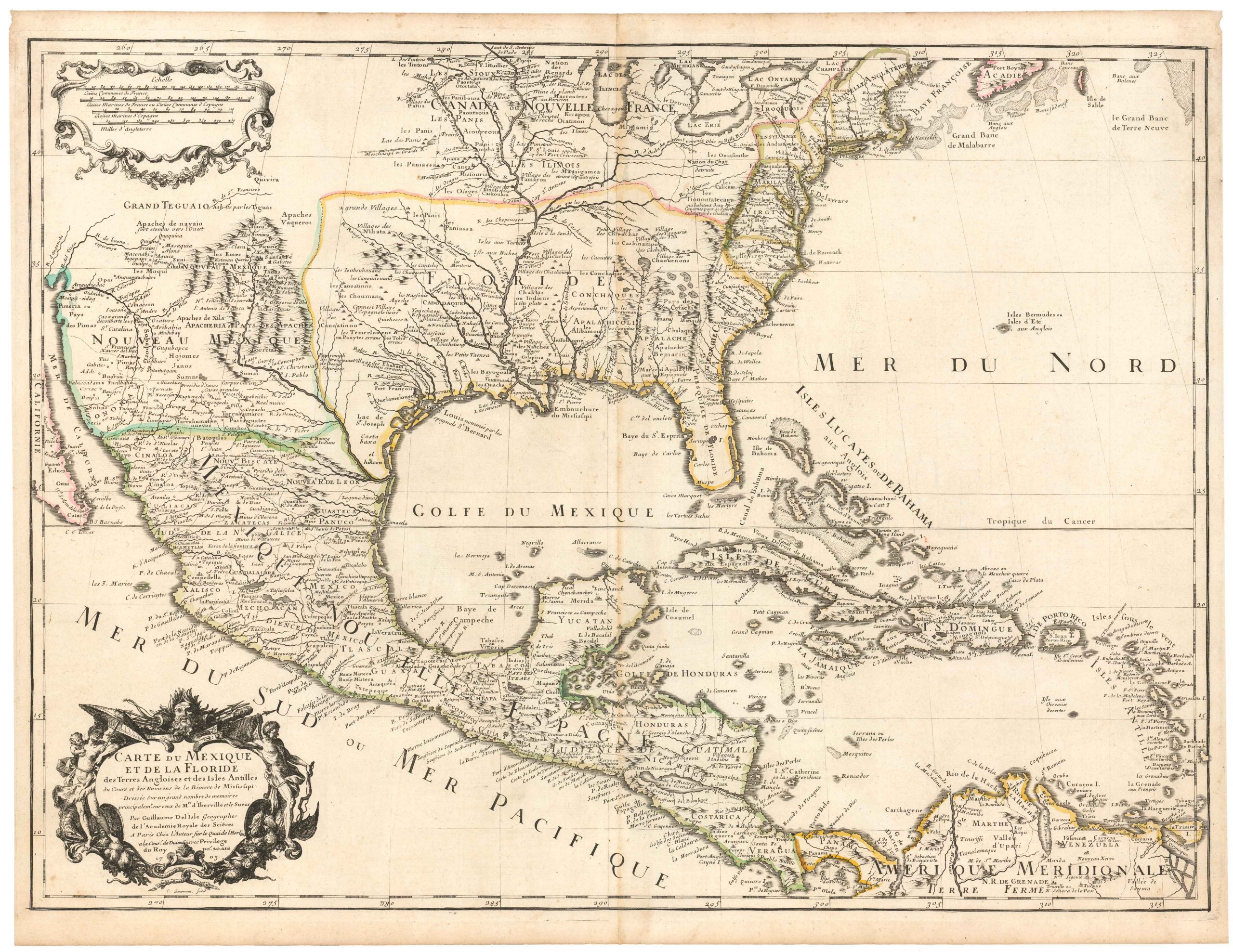
Carte Du Mexique et de la Floride des Terres Angloises et des Isles Antilles du Cours et des Environs de la Riviere Mississipi
- $1,800
- De l’Isle’s paradigm-setting chart of the Gulf of Mexico, the first accurate plotting of the full course of the Mississippi River.
-
Add to cart
Archived
- Out of Stock
- Americas, Canada and The Great Lakes
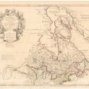
Carte du Canada qui comprend la partie septentrionale des Etats Unis d’Amérique.
- De l’Isle’s seminal rendition of Canada in the desirable Post-Revolution state!
- Read moreQuick View
-
- Out of Stock
- North America, United States
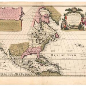
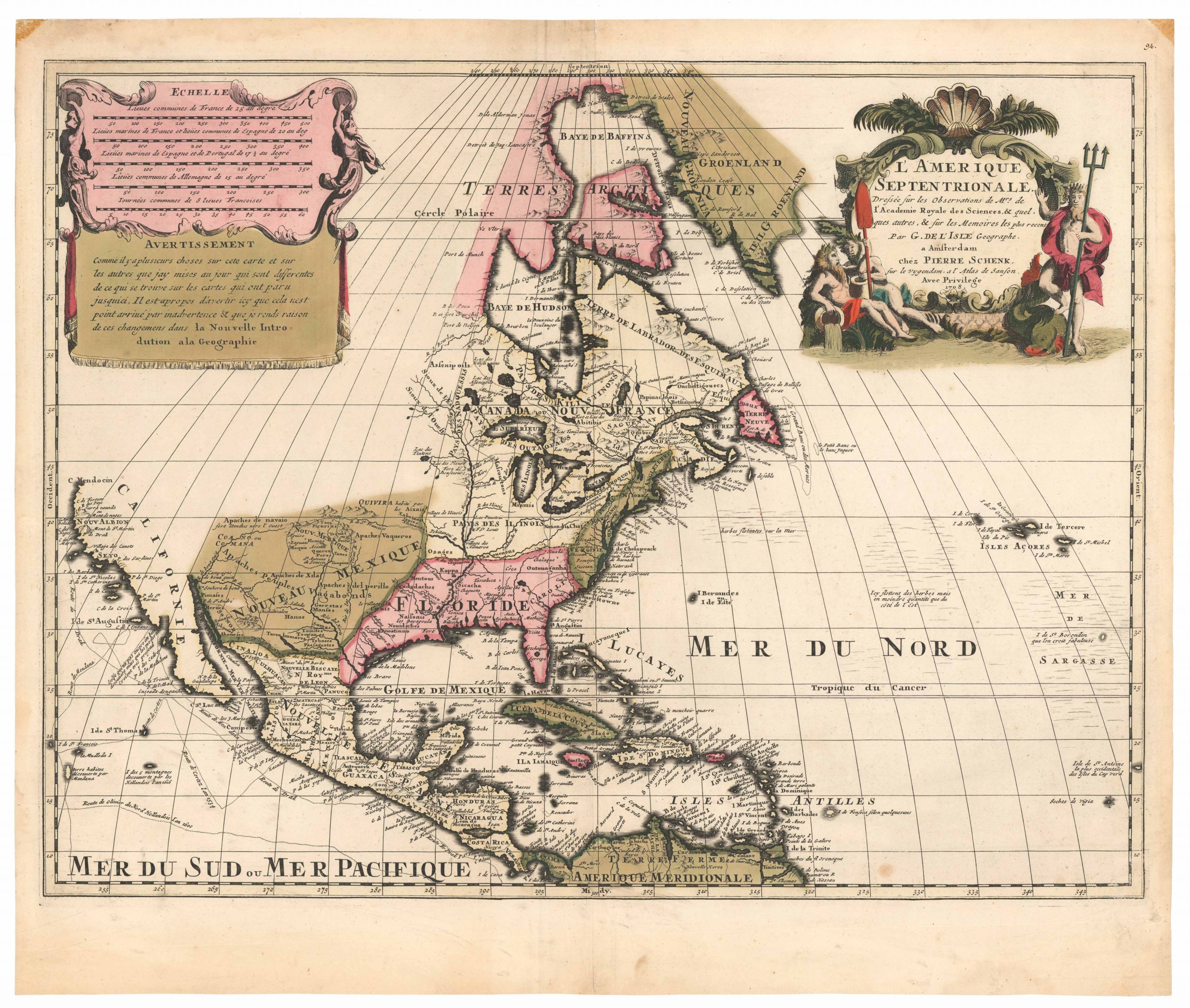
L’Amerique Septentrionale Dressee sur les Observations de Mrs. de l’Academie Royale des Sciences & quelques autres, & sur les Memoires les plus recens…
- The Dutch edition of Guillaume de l’Isle’s seminal map of North America, which saw one of the first attempts at rectifying the erroneous notion that California was an island.
- Read moreQuick View
-
