The Direccion Hidrografica de Madrid was an official institution established in Spain in 1797. It was charged with surveying and publishing important charts and maps from all over the world and became known for the quality of its execution and accuracy.
From its origins in the late 18th century as the Depósito Hidrográfico (1797), the institution that became the Dirección Hidrográfica centralized Spain’s naval cartography under royal patronage. Establishing dedicated surveying brigades, chart engraving workshops, and archival stores in Madrid transformed disparate coastal reconnaissances into a coherent national catalogue of “spherical charts.” These were designed to a uniform standard: using the prime meridian at Cádiz; scaling in Spanish nautical leagues, conforming projections, and systematising rhumb lines and sounding patterns.
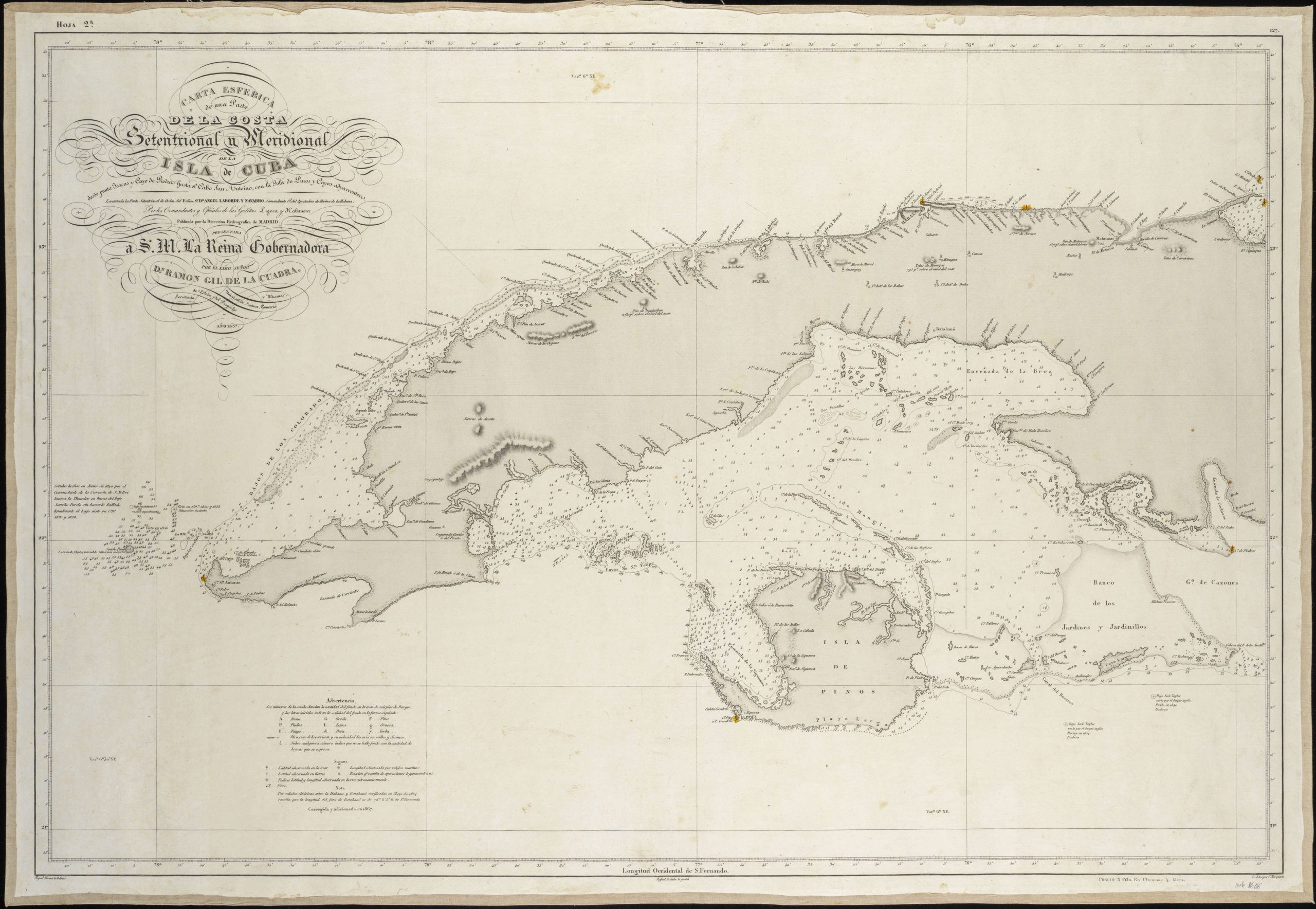
In the first half of the 19th century, the Dirección Hidrográfica expanded its reach to Spain’s overseas domains. Drawing on commanders like Ángel Laborde in Havana or Cosme Churruca in the Antilles, it produced dozens of detailed charts covering the Gulf of Mexico, the Caribbean islands, West Africa, and the Philippines. The 1837 chart of Cuba’s northern and southern shores exemplifies their refined methodology: combining fresh hydrographic surveys with existing data, then entrusting the final composition to skilled delineators and engravers in Madrid. These charts underpinned Spain’s maritime operations and stand as enduring records of early‑modern nautical science and the continued global ambitions of the Spanish crown.
-
-
Add to cart
 Quick View
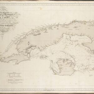
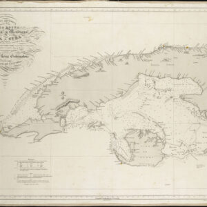
 - Americas, Cuba, West Indies, Caribbean
Carta Esferica De Una Parte de la Costa Setentrional y Meridional de la Isla de Cuba…
- $450
- Excellent Spanish sea chart of Western Cuba.
-
-
-
-
-
Add to cart
 Quick View
 - Americas, Cuba, West Indies, Caribbean
Carta Esferica de una Parte de la Costa Setentrional y Meridional de la Isla de Cuba con el canal viejo de Bahamas y el de Santarén. Por el comandante General y oficiales….
- $800
- Rare 1836 Spanish sea chart around central Cuba with manuscript lighthouse notations.
-
-
Archived
- Out of Stock
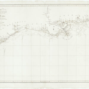
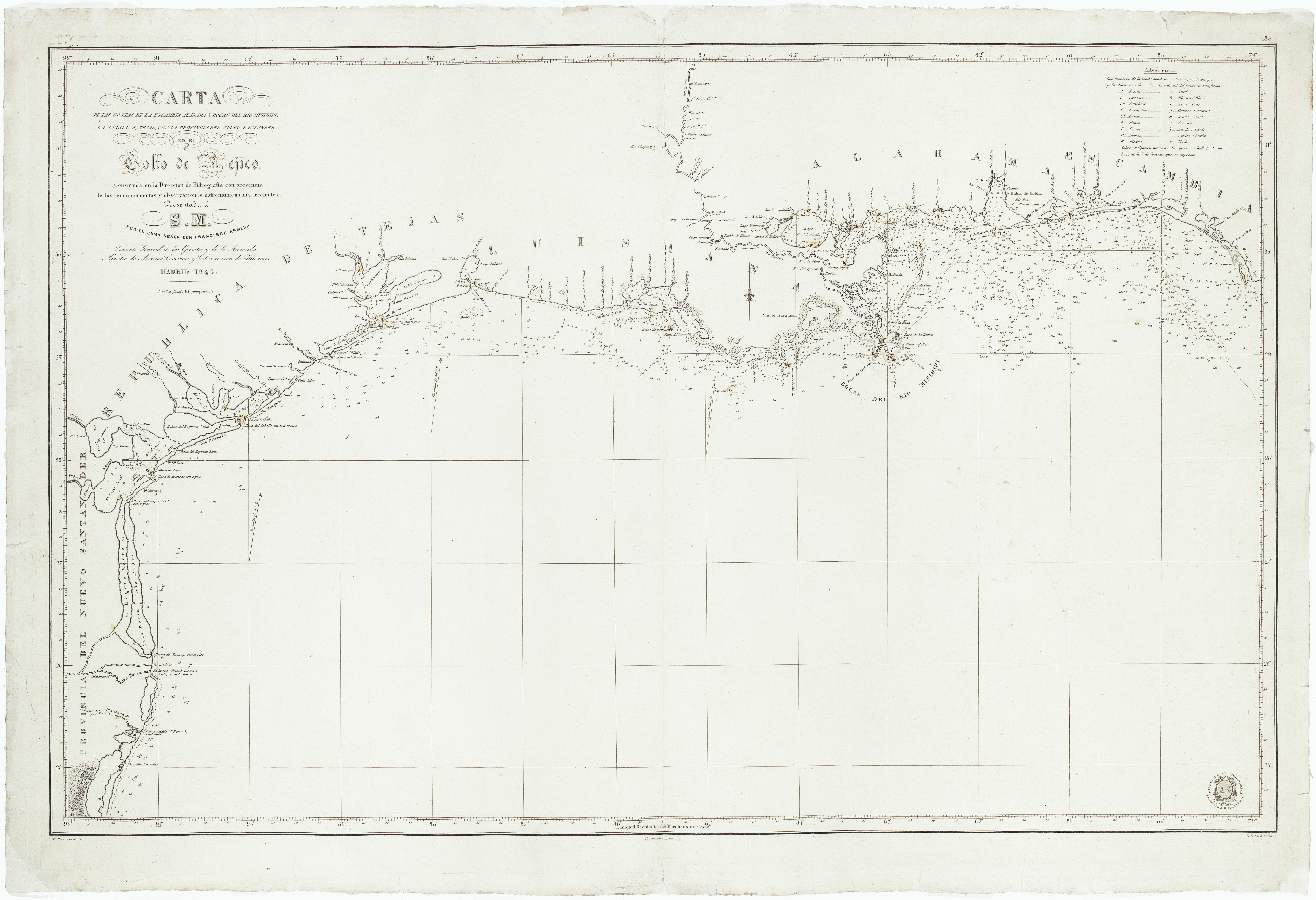
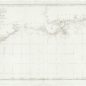
- Texas and The West
Carta de las Costas de la Escambia, Alabama y Bocas de Rio Misisipi, la Luisiana, Tejas, con la Provincia del Nuevo Santander en el Golfo de Mejico…
- A rare Gulf coast sea chart with the Republic of Texas and antebellum New Orleans.
- Read moreQuick View
-
- Out of Stock
![Plano del Puerto Cabello en la Costa de Tierra Firme… [on sheet with] Plano de la Ensenada de Barcelona en la Costa de Tierra Firme… [on sheet with] Plano del fondeadero de la Guayra en la Provincia de Caracas…](https://neatlinemaps.com/wp-content/uploads/2019/09/NL-00313_Thumbnail-300x300.jpg)
![Plano del Puerto Cabello en la Costa de Tierra Firme... [on sheet with] Plano de la Ensenada de Barcelona en la Costa de Tierra Firme... [on sheet with] Plano del fondeadero de la Guayra en la Provincia de Caracas...](https://neatlinemaps.com/wp-content/uploads/2019/09/NL-00313_r-scaled.jpg)
![Plano del Puerto Cabello en la Costa de Tierra Firme… [on sheet with] Plano de la Ensenada de Barcelona en la Costa de Tierra Firme… [on sheet with] Plano del fondeadero de la Guayra en la Provincia de Caracas…](https://neatlinemaps.com/wp-content/uploads/2019/09/NL-00313_r-scaled-300x300.jpg)
- Cuba, West Indies, Caribbean
Plano del Puerto Cabello en la Costa de Tierra Firme… [on sheet with] Plano de la Ensenada de Barcelona en la Costa de Tierra Firme… [on sheet with] Plano del fondeadero de la Guayra en la Provincia de Caracas…
- Scarce 1818 chart of three Caribbean ports from the expedition of Fidalgo.
- Read moreQuick View
-