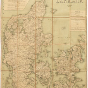
Jacob Henrik Mansa was a Danish military officer, lithographer, and cartographer. He spent his youth serving as an officer in the Danish Crown’s Regiment, earning commission as lieutenant in 1826 and the rank of captain in 1839. Part of his military career was spent training other soldiers in the art of surveying. From 1848, Mansa was employed by the military’s Central Command as head of the Topographical Section; a position from which he retired with the rank of colonel in 1869 – only five years after Denmark’s devastating defeat by the Prussians.
Between 1837 and 1851, Mansa lead an initiative intended to map all of Denmark at the scale of 1:4000. He lead much of the reconnaissance himself. After 1851, Mansa published a range of Danish maps for a variety of purposes. These included specialized maps of all the Danish provinces, which were broadly acknowledged not only for their accuracy, but for their strong aesthetic. His long career as a military map maker culminated in the creation of two important charts of Denmark: A General Map of Denmark at 1:520000 in 1875 and a school map of the nation in two sheets produced in 1878. These two maps have since come to stand as his most important and lasting cartographic works.
Archived
- Out of Stock
- Iceland & Scandinavia
Generalkort over Danmark
- Colonel J.H. Mansa’s wall map of a Denmark reeling from its devastating Prussian defeat.
- Read moreQuick View
-
