Julius Hutawa was among the early German immigrants to Saint Louis, arriving with the Berling Society in 1833 along with his brother Edward. The brothers were soon engaged in lithography and publishing, and among the maps created by Julius Hutawa are Frémont and Nicollet’s Map of the City of St. Louis (1846), Map and Profile Sections Showing Railroads of the United States (1849), Map of the United States Showing the Principal Steamboat Routes and Projected Railroads Connecting with St. Louis (1854). They also published city views.
No products were found matching your selection.
Archived
- Out of Stock
- Mexico - Central & South America, Texas and The West
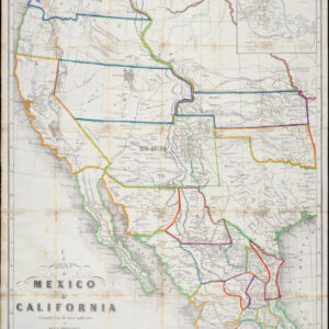
Map of Mexico & California Compiled from the latest authorities by Juls Hutawa Lithr. Second St. 45 St, Louis, Mo. 2nd Edition 1863
- Hutawa's mysterious 1863 map of the American West: an icon in St Louis publishing history and a forerunner of the Santa Fe mining industry.
- Read moreQuick View
-
- Out of Stock
- East & Midwest United States, United States
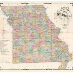
Clark’s New Sectional Map of Missouri compiled & engraved from the United States land surveys and other reliable sources. St. Louis: J.C. Clark & Co., 1860
- Rare St. Louis-printed map of antebellum Missouri, meant to inspire a new wave of emigration and settlement.
- Read moreQuick View
-

