Jean François de Galaup, comte de Lapérouse (23 August 1741 – 1788 ca.) was a French Naval officer and explorer whose famous expedition vanished in Oceania. His naval career began when he entered the French Navy college in Brest at the age of fifteen. Over the years, he participated in various naval campaigns, among other things, earning the esteemed rank of Commodore for his victory over the English frigate ARIEL in the West Indies. He also played a significant role in the Battle of the Saintes and gained recognition by capturing two English forts along the coast of Hudson Bay.
In 1785, La Perouse was appointed to lead an expedition around the world by Louis XVI and his Secretary of the Navy, the Marquis de Castries. The aims of the expedition were quite ambitious, intending to sail and map regions such as Chile, Hawaii, Alaska, California, East Asia, Japan, Russia, Australia, and the South Pacific. The entire expedition vanished mysteriously after leaving New South Wales in March 1788. They were en route to New Caledonia, the Solomons, and the western and southern coasts of Australia. No member of the expedition was ever heard from again.
-
-
Add to cartQuick View
- Pacific Northwest - Hawaii - Alaska
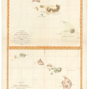
Carte des Parties des Îles Sandwich & Carte des Îles Sandwich.
- $1,600
- History’s second mapping of Hawaii.
-
Add to cart
-
-
Add to cartQuick View
- California
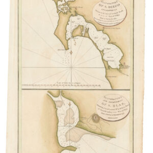
Plan of the Port of S. Diego in California. / Plan of the Port and Deparetement of S. Blas.
- $500
- The earliest acquirable map of the bay of San Diego.
-
Add to cart
-
-
Add to cartQuick View
- San Francisco
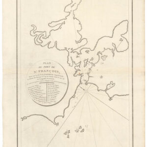
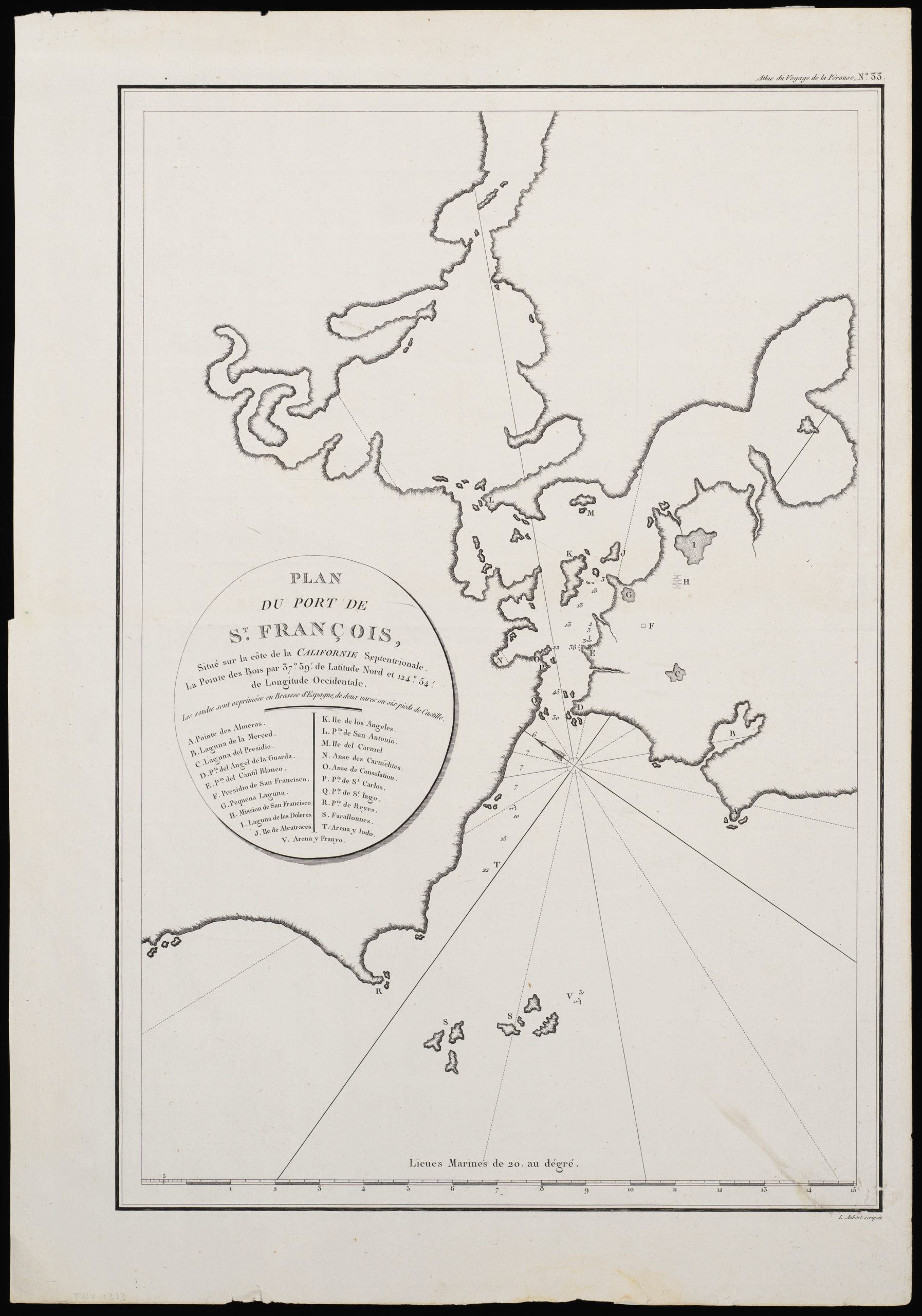
Plan du Port de St. François, Situé su la côte de la Californie Septentrionale.
- $975
- The world’s first detailed look at San Francisco.
-
Add to cart
Archived
- Out of Stock
- California
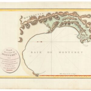
Plan De La Baie De Monterey Situee Dans La Californie Septentrionale…
- The earliest acquirable map of the Bay of Monterey.
- Read moreQuick View
-
- Out of Stock
- California
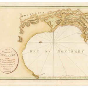
Plan of the Bay of Monterey.
- The earliest acquirable map of the Bay of Monterey.
- Read moreQuick View
-
- Out of Stock
- San Francisco
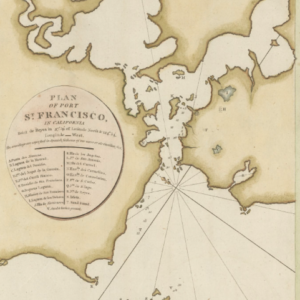
Plan of Port St. Francisco in California.
- The world’s first detailed look at San Francisco.
- Read moreQuick View
-
- Out of Stock
- San Francisco
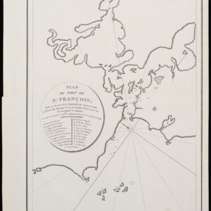
Plan du Port de St. François, Situé su la côte de la Californie Septentrionale. La Pointe de Rois par 37o.59′. de Latitude Nord et 124o.54′. de Longitude Occidentale
- The first widely disseminated map of settlements and key places at San Francisco.
- Read moreQuick View
-
