Paolo Santini (1729-1793), an esteemed cartographer from Venice, was actively producing maps during the mid to late 18th century. He gained acclaim for his “Atlas Universel,” a comprehensive collection showcasing all known regions of the world. Each map within the atlas stood out for its intricate engraving, seamlessly melding artistic elegance with up-to-date geographical data. Often, Santini would adapt and refine the works of his contemporaries, a prevalent practice of the era, ensuring the latest knowledge was readily available to his audience.
No products were found matching your selection.
Archived
- Out of Stock
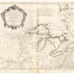
- Canada and The Great Lakes
Partie Occidentale Du Canada et Septentrionale De La Louisiane Avec Une Partie De La Pensilvanie Par Le Sr. D’Anville…1775
- One of the few Great Lakes maps published at the brink of the American Revolution.
- Read moreQuick View
-
- Out of Stock
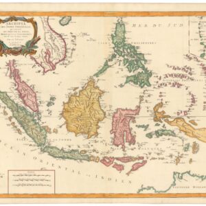
- Asia, Southeast Asia & Australia
Archipel des Indes orientales qui comprend les isles de la Sonde, Moluques et Philippines
- An excellent example of the Vaugondy-Santini map of Southeast Asia.
- Read moreQuick View
-

