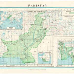
The Survey of Pakistan (SOP) is Pakistan’s national mapping organization, established at the country’s independence in 1947. It is responsible for topographic mapping, geodetic control, aerial photography, and map publication. The SOP has produced a systematic map series at a variety of scales. The 1:1,000,000 series provided a standardized regional overview. The list of Surveyors-General shows G. H. Khan in office in the late 1960s; the sheet itself bears his imprint, dated 1968, which identifies the map as an official product of the SOP under his direction.
-
-
Add to cart
 Quick View
 - Asia, India
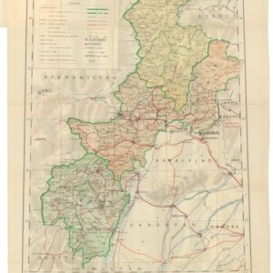
D.I. Khan & Peshāwar Divisions, Amb, Chitral, Dir and Swat.
- $275
- The Survey of Pakistan’s mapping of Peshawar and the Northwest Frontier.
-
-