Trelawny Saunders was a 19th-century British map publisher and geographer. He was known for producing a variety of maps, especially during the mid to late 1800s. Saunders had a particular interest in improving the design and accessibility of maps, believing in their educational value.
One of his notable achievements was advocating for and producing “relief maps” that provided a more intuitive representation of physical geography, especially for educational purposes. These maps aimed to represent the terrain’s physical features in a way that was easier for the general public and students to understand, compared to traditional contour maps.
Saunders was a Fellow of the Royal Geographical Society (FRGS).
Archived
- Out of Stock
- Eastern Mediterranean - Holy Land
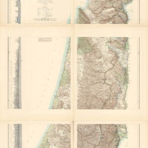
Map of Western Palestine Illustrating the Natural Drainage and the Mountain Ranges.
- The topography and ecology of late Ottoman Palestine.
- Read moreQuick View
-
