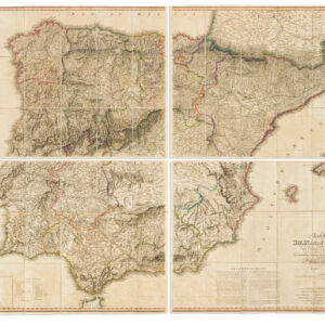
William Faden (1749 – 1836) stands out as one of the eminent English cartographers and map publishers of the late 18th and early 19th centuries.
Early in his career, Faden was mentored by Thomas Jefferys, a leading map engraver and publisher in London, who held the distinguished title of “Geographer to the King.” Upon Jefferys’ death in 1771, Faden inherited his business, and by 1783, his exceptional skills earned him the appointment as the royal geographer to King George III.
His cartographic prowess was particularly evident in his detailed maps of the British Isles and depictions of battles during the American Revolution. In addition to his cartographic ventures, Faden was a shrewd publisher, running a renowned map store in London. This establishment quickly became a nexus for geographers and explorers.
-
-
Add to cartQuick View
- United States
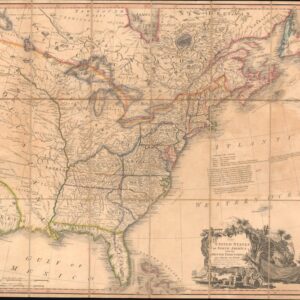
The United States of North America: with the British Territories and Those of Spain.
- $6,500
- With the proto-State of Franklin and the colony of New Iberia (Morgania)!
-
Add to cart
-
-
Add to cartQuick View
- Americas, Mexico - Central & South America
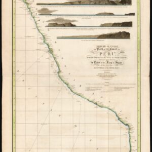
Spherical chart of part of the coast of Peru, from the Parallel of 7.° to 21.° 45.’ South Latititude; Surveyed and Drawn by Order of the King of Spain in the year 1790, By Officers of the Royal Navy.
- $950
- The best coastal view of Peru in the early 19th century.
-
Add to cart
-
-
Add to cartQuick View
-
Add to cart
-
-
Add to cartQuick View
- Featured Maps & Views, Pacific Northwest - Hawaii - Alaska
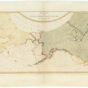
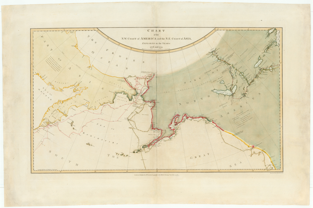
Chart of the N. W. Coast of America and the N. E. Coast of Asia, Explored in the Years 1778 and 1779. Prepared by Lieut’t Henry Roberts, under the immediate Inspection of Capt. Cook.
- $8,500
- The "Legendary lost chart of Captain Cook" - Rare first edition.
-
Add to cart
-
-
Add to cartQuick View
- Europe, Greece & the Balkans
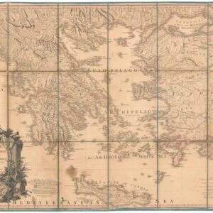
Greece Archipelago and part of Anadoli. By L.S. de la Rochette. MDCCXC. London, Published for Willm. Faden, Geographer to the King. January 1st. 1791
- Large, detailed 1791 map of Greece and Asia Minor with striking cartouche.
-
Add to cart
