-
-
Add to cart
![[Illustrated Physical Map of the United Arab Republic The Syrian region, Lebanon, Palestine and Transjordan].](https://neatlinemaps.com/wp-content/uploads/2026/01/NL-02523_thumbnail-300x300.jpg) Quick View
Quick View - Eastern Mediterranean - Holy Land, Middle East - Holy Land Maps
[Illustrated Physical Map of the United Arab Republic The Syrian region, Lebanon, Palestine and Transjordan].
- $575
- Mapping a newly independent Middle East.
-
-
-
-
Add to cart
 Quick View
 - Iran - Persia - Central Asia, Middle East - Holy Land Maps
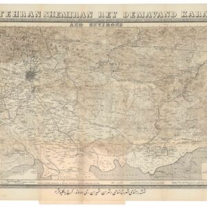
Tehran Shemiran Rey Demavand Karaj and Environs.
- $675
- Rare first state of Abbas Sahab’s iconic map of Tehran and Environs.
-
-
-
-
Add to cart
 Quick View
 - Atlases & Books, Eastern Mediterranean - Holy Land, Middle East - Holy Land Maps
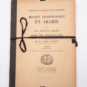
Mission Archéologique en ARABIE III: Les châteaux arabes.
- $375
- Jaussen & Savignac’s iconic plate atlas of Islamic desert architecture.
-
-
-
-
Add to cart
![[Persuasive Cartography] Die Araber, Israel und die Supermächte.](https://neatlinemaps.com/wp-content/uploads/2025/10/NL-02133_thumbnail-300x300.jpg) Quick View
Quick View - Eastern Mediterranean - Holy Land, Middle East - Holy Land Maps
[Persuasive Cartography] Die Araber, Israel und die Supermächte.
- $1,400
- Cold War Propaganda Map Depicting the Arab–Israeli Conflict and Superpower Rivalry.
-
-
-
-
Add to cart
 Quick View
 - Atlases & Books, Eastern Mediterranean - Holy Land
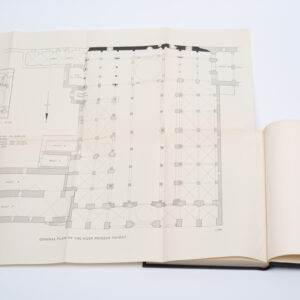
The Structural History of the Aqsa Mosque. A record of archaeological gleanings from the repairs of 1938-1942.
- $12,500
- The only comprehensive architectural history of one of the world’s most important mosques.
-
-
-
-
Add to cart
 Quick View
 - Iran - Persia - Central Asia, Middle East - Holy Land Maps, World War I and World War II
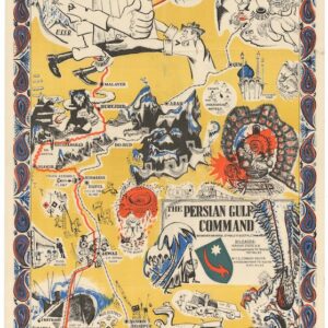
The Persian Gulf Command.
- Rare World War II propaganda map published in Tehran.
-
-
-
-
Add to cart
 Quick View
 - Eastern Mediterranean - Holy Land, Pictorial maps
Palestine in Third Dimension.
- $975
- A Spectacular World War II-era View of the Holy Land.
-
-
-
-
Add to cart
 Quick View
 - Arabia and the Red Sea, Middle East - Holy Land Maps
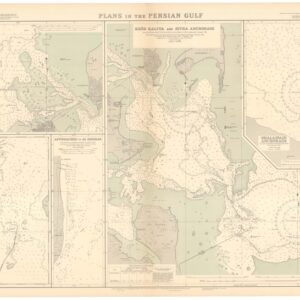
British Admiralty Chart No. 3789. Plans in the Persian Gulf.
- $2,400
- A British Admiralty map of the Persian Gulf, created at the dawn of Arabia’s emergent oil industry.
-
-
-
-
Add to cart

 Quick View
 - Africa, Arabia and the Red Sea, Asia
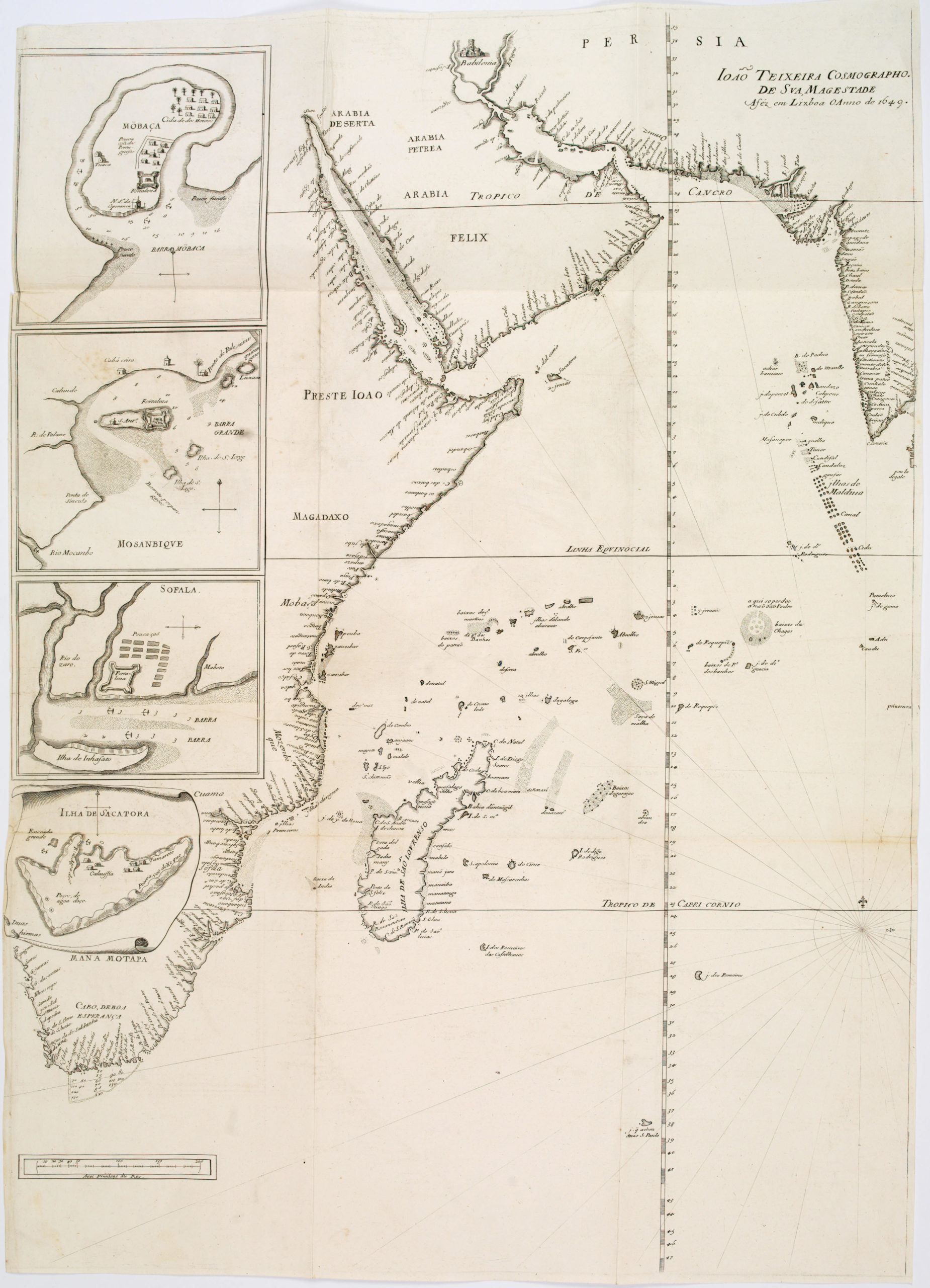
João Teixeira Cosmographo. De sua, Magestade. Aféz em Lixboa o Anno de 1649
- $4,200
- Rare 17th century portolan-style chart designed for use aboard Portuguese merchant vessels.
-
-
-
-
-
Add to cart
![[Unusual Jerusalem engraving / proof]](https://neatlinemaps.com/wp-content/uploads/2025/06/NL-02380_thumbnail-300x300.jpg) Quick View
Quick View - Curiosities - Miscellanea, Eastern Mediterranean - Holy Land, Middle East - Holy Land Maps
[Unusual Jerusalem engraving / proof]
- $2,200
- An extremely rare 17th-century religious engraving with a view of Jerusalem.
-
-
-
-
Add to cart
![[Mısır Haritası / Map of Egypt]](https://neatlinemaps.com/wp-content/uploads/2025/06/NL-02391_thumbnail-2-300x300.jpg) Quick View
Quick View - Africa, Middle East - Holy Land Maps, Turkey - Ottoman Empire, World War I and World War II
[Mısır Haritası / Map of Egypt]
- $1,800
- Strategic Ottoman map of Lower Egypt.
-
-
-
-
Add to cart
 Quick View
 - Eastern Mediterranean - Holy Land, Middle East - Holy Land Maps
Voyages des Enfans d’Israel Dans le Desert.
- $575
- Map of the Israelites’ Exodus from Egypt to Canaan.
-
-
