-
-
Add to cartQuick View
- California
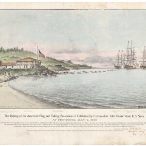
The Raising of the American Flag and Taking Possession of California by Commodore John Drake Sloat… at Monterey, July 7, 1846.
- $750
- A very unusual and exceedingly rare piece of Californiana.
-
Add to cart
-
-
Add to cartQuick View
- California, San Francisco, Pictorial maps, Bird's-eye-views
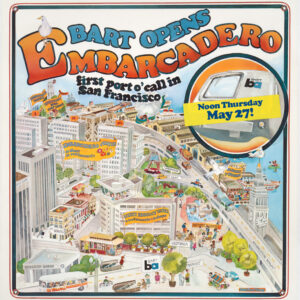
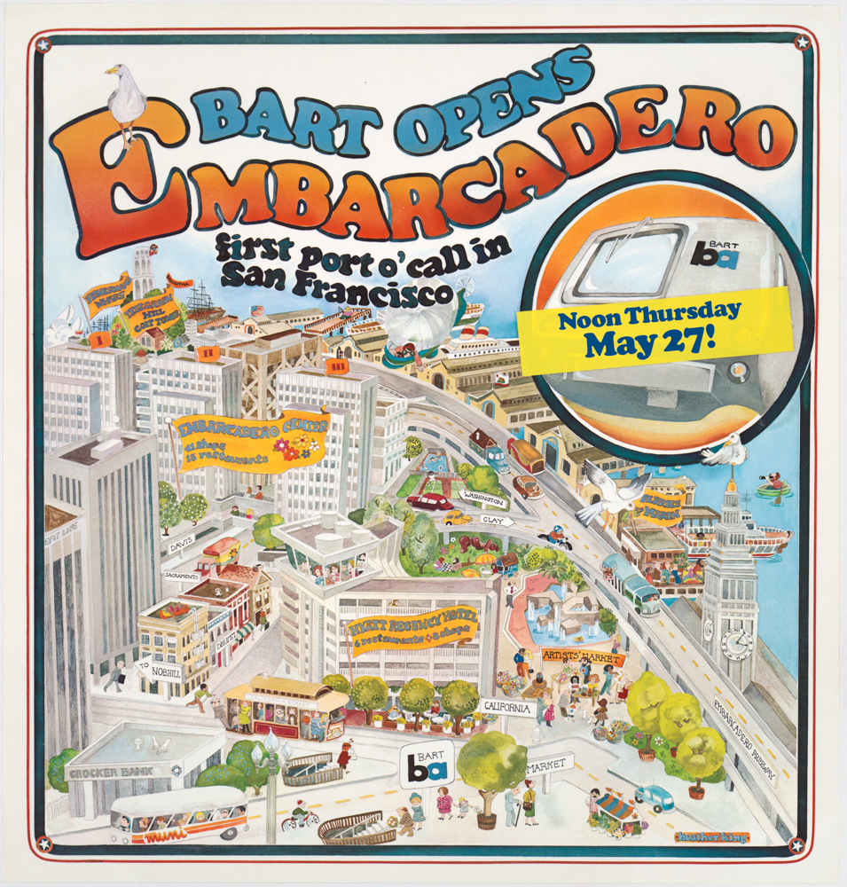
Bart Opens Embarcadero. First port o’call in San Francisco
- $475
- Celebrating public transit -- a pictorial view of downtown San Francisco announcing the 1976 opening of the Embarcadero BART station.
-
Add to cart
-
-
Add to cartQuick View
- California, Curiosities - Miscellanea
The Independent Gold Hunter on His Way to California. I Neither Borrow Nor Lend.
- $3,900
- The most iconic California Gold Rush lithograph.
-
Add to cart
-
-
Add to cartQuick View
- California, San Francisco
[Seventeen original Taber albumen photographs of California and Oregon]
- $975
- An extraordinary collection of late 19th-century photographs from America's West Coast.
-
Add to cart
-
-
Add to cartQuick View
- San Francisco
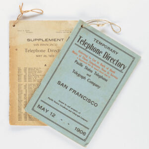
Temporary Telephone Directory with Supplement, San Francisco May 12, 1906
- $2,200
- The first 1906 San Francisco Temporary Telephone Directory - with rare extra supplement!
-
Add to cart
-
-
Add to cartQuick View
- San Francisco
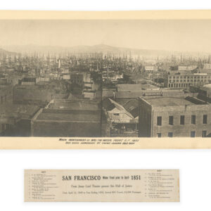
San Francisco Water Front prior to April 1851.
- $8,500
- The "Forest of Masts" Panorama -- The Earliest Known Photograph of San Francisco.
-
Add to cart
-
-
Add to cartQuick View
- San Francisco
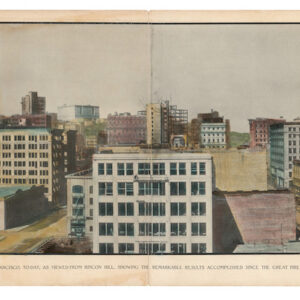
San Francisco, to-day, as viewed from Rincon Hill, showing the remarkable results accomplished since the Great Fire of April 1906
- $875
- An important panorama of post-1906 San Francisco, captured by one of the most iconic photographers of the American West.
-
Add to cart
-
-
Add to cartQuick View
- Atlases & Books, California
Central Valley Project. Annual History for 1949. Delta District.
- $2,400
- A well-illustrated Central Valley California water-management system report, including many maps, charts, graphs, and original photographs.
-
Add to cart
-
-
Add to cartQuick View
- San Francisco
[1906 EARTHQUAKE PANORAMA – CITY HALL]
- $1,200
- A Pillsbury Picture Company panorama highlighting the 1906 destruction of San Francisco's City Hall.
-
Add to cart
-
-
Add to cartQuick View
- San Francisco
[SAN FRANCISCO EARTHQUAKE PHOTO ALBUM]
- $4,500
- A dramatic collection of photographs taken during and just after the devastating events of April 18, 1906.
-
Add to cart
-
-
Add to cartQuick View
- San Francisco
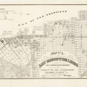
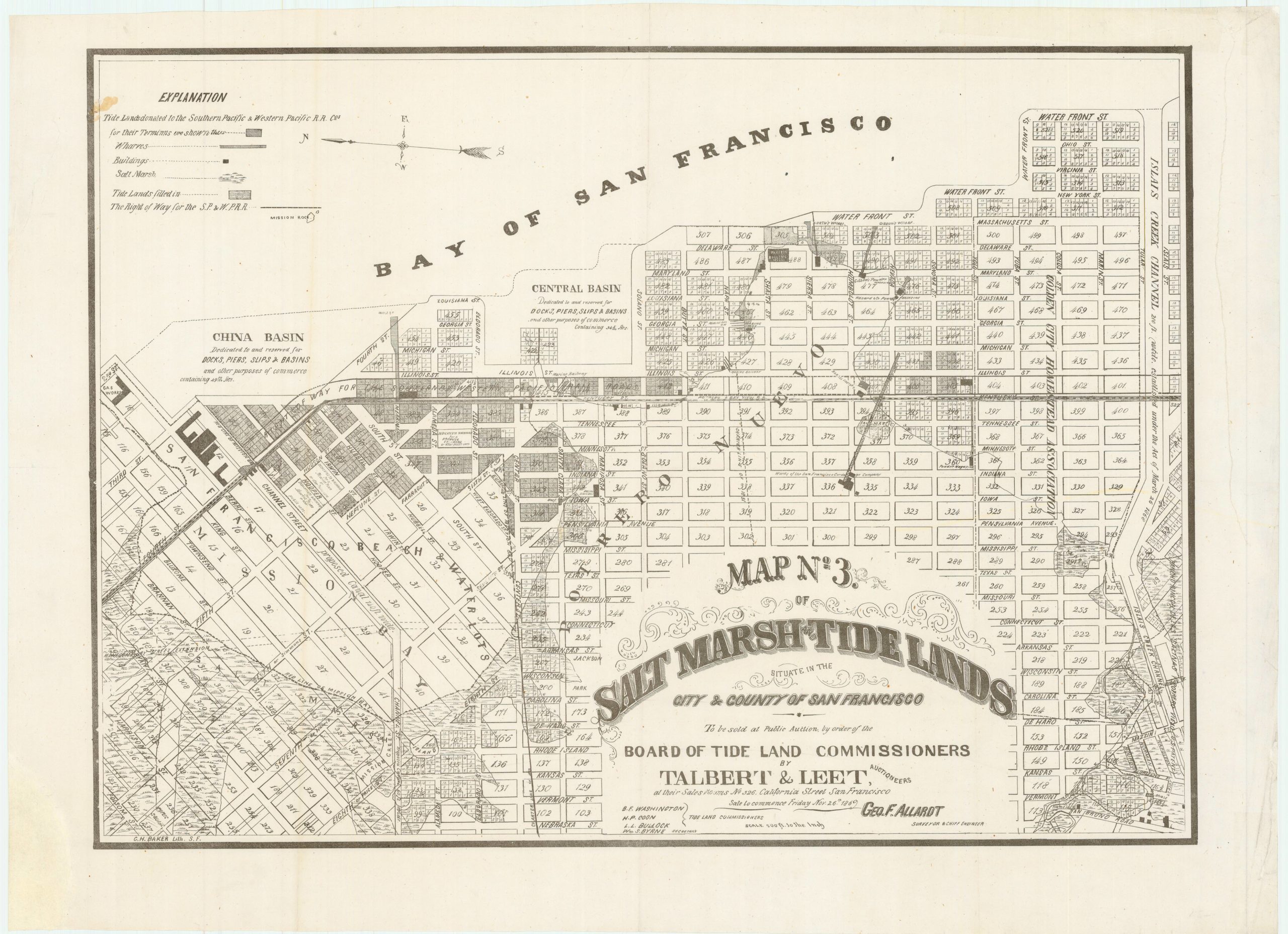
Map no. 3. Salt marsh and tide lands situate in the city and county of San Francisco. To be sold at public auction by order of the Board of Tide Land Commissioners by Talbert & Leet, auctioneers, at their sales rooms no. 526 California Street, San Francisco. Sale to commence Friday Nov. 26th, 1869.
- $3,400
- Rare cadastral and Southern Pacific Railroad right-of-way tidal lands map of Mission Bay.
-
Add to cart
-
-
Add to cartQuick View
- San Francisco
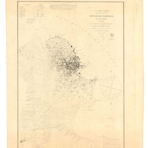
U.S. Coast Survey A.D. Bache, Superintendent, City Of San Francisco And Its Vicinity California. From a Trigonometrical Survey by R.D. Cutts, Assistant…
- $2,500
- 1853 United States Coast Survey steel-engraved master sheet map of the San Francisco Peninsula.
-
Add to cart

![[Seventeen original Taber albumen photographs of California and Oregon]](https://neatlinemaps.com/wp-content/uploads/2023/07/447973_0-300x300.jpg)

![[1906 EARTHQUAKE PANORAMA – CITY HALL]](https://neatlinemaps.com/wp-content/uploads/2023/02/Screen-Shot-2023-02-06-at-7.03.10-PM-300x300.png)
![[SAN FRANCISCO EARTHQUAKE PHOTO ALBUM]](https://neatlinemaps.com/wp-content/uploads/2023/02/126_127_1_lg-copy-300x300.jpg)
