-
-
Add to cartQuick View
- Curiosities - Miscellanea, Europe, Italy
Veduta del Pantheon d’Agrippa.
- $4,500
- A rare first state of Piranesi’s famous view of the Pantheon.
-
Add to cart
-
-
Add to cartQuick View
- Bird's-eye-views, Europe, Italy
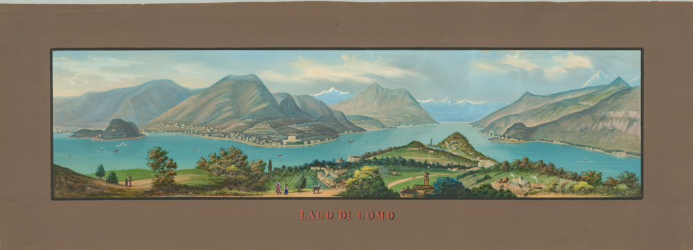
Lago di Como
- $3,000
- Francesco Citterio's fantastic mid-19th century panorama of Lake Como.
-
Add to cart
-
-
Add to cartQuick View
- Europe, Italy
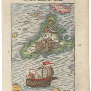
Beschreibung de Inseln und desz gantzen Künigreichs Sicilie / Sardinia Insula / Calaris die Hauptstatt in Sardinia / Neapolis.
- $500
- A Set of Four: Münster’s maps of Sicily and Sardinia, and views of Naples and Cagliari.
-
Add to cart
-
-
Add to cartQuick View
- Europe, Germany & the Netherlands
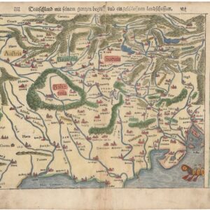
Teutschland mit seinem gantzen gegriff und eingeschlossen Landtsschafften.
- $300
- One of the First “Modern” Maps of Germany and the Czech Republic.
-
Add to cart
-
-
Add to cartQuick View
- Europe, France & Switzerland
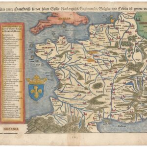
Das gantz Frankreich so vor Zeiten Gallia Narbonensis, Bugunensis, Belgica und Celtica ist genannt worden.
- $450
- Sebastian Münster’s 1567 Map of France.
-
Add to cart
-
-
Add to cartQuick View
- Europe, Italy
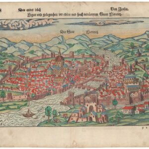
Figur und gelegenheit der ersten und hoch versümpten Statt Florenz.
- $1,200
- Sebastian Münster’s Bird’s-Eye View of Florence.
-
Add to cart
-
-
Add to cartQuick View
- Europe, Spain & Portugal
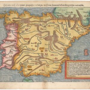
Hispania nach aller seiner gelegenheit in Bergen, Wåssern, Ståtten, Vólckern, Konigreichen und Inseln.
- $675
- Münster’s 1567 map of Spain and Portugal: the Iberian Peninsula at the Pinnacle of its Power.
-
Add to cart
-
-
Add to cartQuick View
- Europe, France & Switzerland
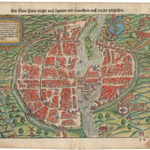
Der Statt Paris ehrlicher maß figuriert und concrafhetet nach ietziger gelegenheit.
- $825
- Sebastian Münster’s mid-16th-century bird’s-eye-view of Paris.
-
Add to cart
-
-
Add to cartQuick View
- Europe, Italy
Siciliae Veteris Typus.
- $1,400
- Ortelius’s pioneering of map of Sicily in Antiquity with excellent old color.
-
Add to cart
-
-
Add to cartQuick View
- Russia & Eastern Europe, World War I and World War II
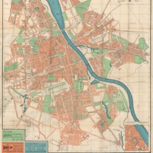
Stadtplan von Warschau / Plan Warszawy.
- $2,800
- With blue over-print highlighting the Jewish Ghetto.
-
Add to cart
-
-
Add to cartQuick View
- Europe, Russia & Eastern Europe
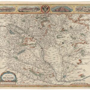
The Mape of Hungari.
- $1,900
- John Speed’s Decorative Map of Hungary and Slovakia.
-
Add to cart
-
-
Add to cartQuick View
- Europe, Italy
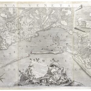
Laguna Veneta.
- Ludovico Furlanetto's Monumental Map of the Venetian Lagoon (1780).
-
Add to cart


