-
-
Add to cartQuick View
- Europe, France & Switzerland
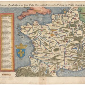
Das gantz Frankreich so vor Zeiten Gallia Narbonensis, Bugunensis, Belgica und Celtica ist genannt worden.
- $450
- Sebastian Münster’s 1567 Map of France.
-
Add to cart
-
-
Add to cartQuick View
- Europe, France & Switzerland
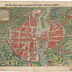
Der Statt Paris ehrlicher maß figuriert und concrafhetet nach ietziger gelegenheit.
- $825
- Sebastian Münster’s mid-16th-century bird’s-eye-view of Paris.
-
Add to cart
-
-
Add to cartQuick View
- Curiosities - Miscellanea, France & Switzerland
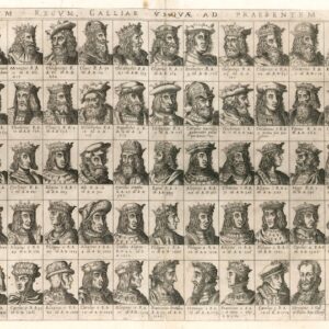
Omnium Regum Galliae usquae ad praesentem iccones.
- $2,800
- Duchetti’s extremely rare 16th-century broadsheet with 63 small busts of French kings from Faramund to Henry III.
-
Add to cart
-
-
Add to cartQuick View
- Europe, France & Switzerland
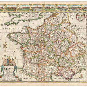
France revised and augmented the attires of the French and Situations of their Cheifest cityes observed.
- $2,200
- Speed’s stunning map of France, produced at the height of religious war in Europe.
-
Add to cart
-
-
Add to cartQuick View
- Europe, France & Switzerland
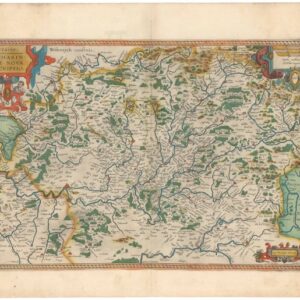
Lorraine. Lotharingiae Nova Descriptio.
- $450
- Old color Ortelius map of the Franco-German border region Lorraine.
-
Add to cart
-
-
Add to cartQuick View
- Europe, France & Switzerland
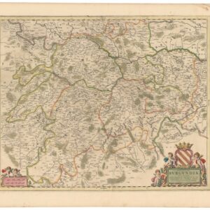
Ducatus Burgundiae Nova Descriptio Divisa, Correcta, et Edita.
- $475
- A gorgeous, old color 17th-century map of the Bourgogne wine district.
-
Add to cart
-
-
Add to cartQuick View
- Curiosities - Miscellanea, Europe, France & Switzerland
[LA ROCHELLE] Il vero sito della Rocella hora occupata da heretici et Ribelli di sua Maestà Christianissima della Quale sono Assediati.
- $8,500
- Den of the Templars: a rare and exciting plan of the great French port of La Rochelle.
-
Add to cart
-
-
Add to cartQuick View
- Bird's-eye-views, Europe, France & Switzerland
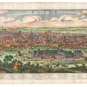
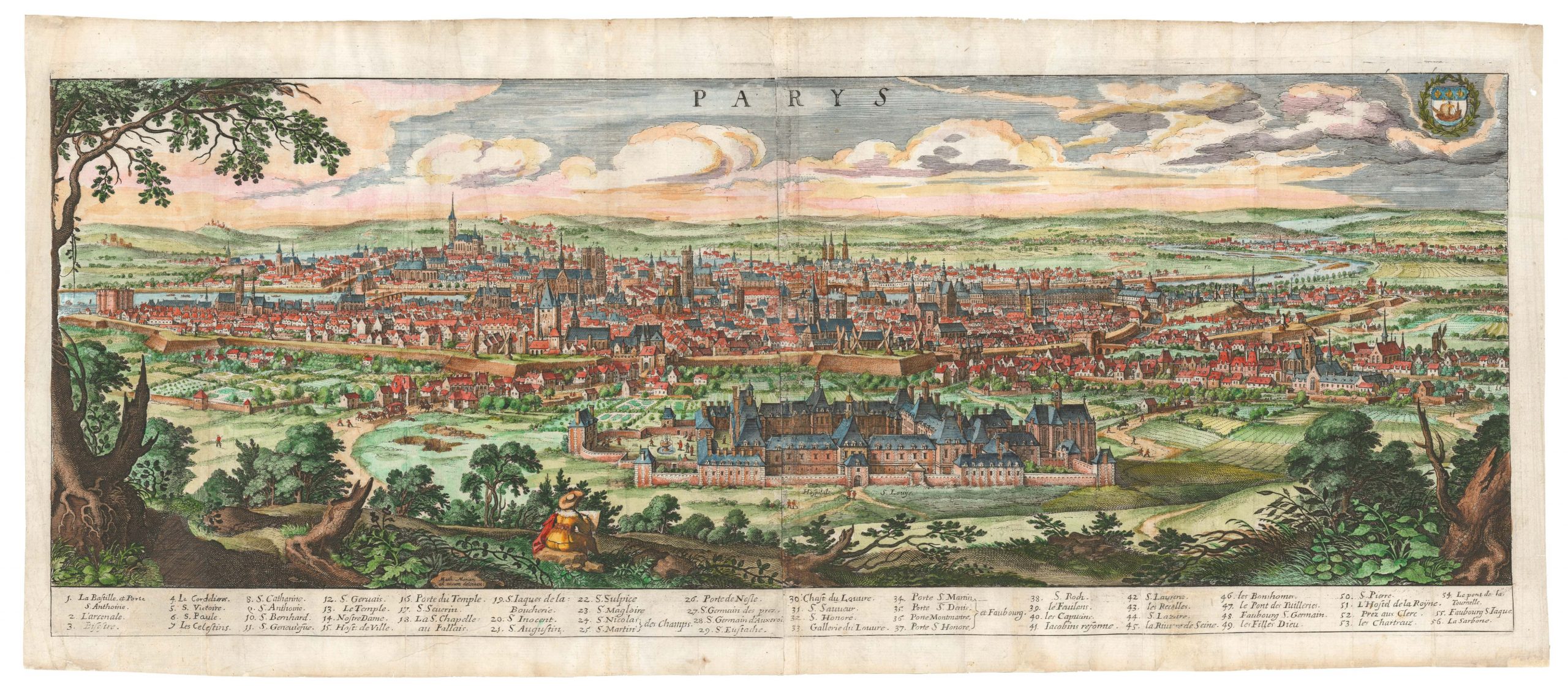
Parys.
- $1,500
- 1638 Merian panorama of Paris -- first plate with a self-portrait.
-
Add to cart
-
-
Add to cartQuick View
- Europe, France & Switzerland, World War I and World War II
Delimitation de la Zone Occupee [German Occupation of France]
- $1,000
- After the Fall of France: administrative map of German occupation published during World War II.
-
Add to cart
-
-
Add to cartQuick View
- Europe, France & Switzerland, Bird's-eye-views
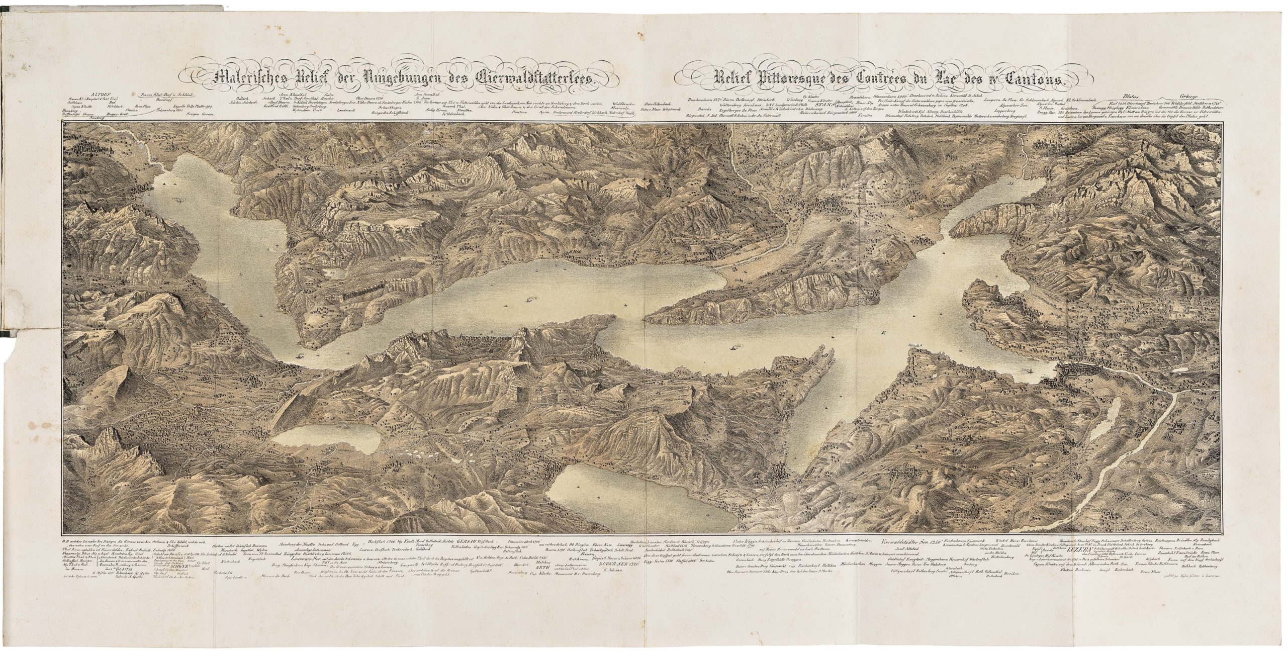
Klassischer Boden oder Malerisches Relief des Vierwaldstättersees / Plan Pittoresque du Lac des IV Cantons 1853. Lith Frères Eglin à Lucerne.
- $1,250
- Spectacular panoramic view of Lake Lucerne, with dynamic topographic relief and pictorial cities and towns.
-
Add to cart
-
-
Add to cartQuick View
- Bird's-eye-views, Europe, France & Switzerland
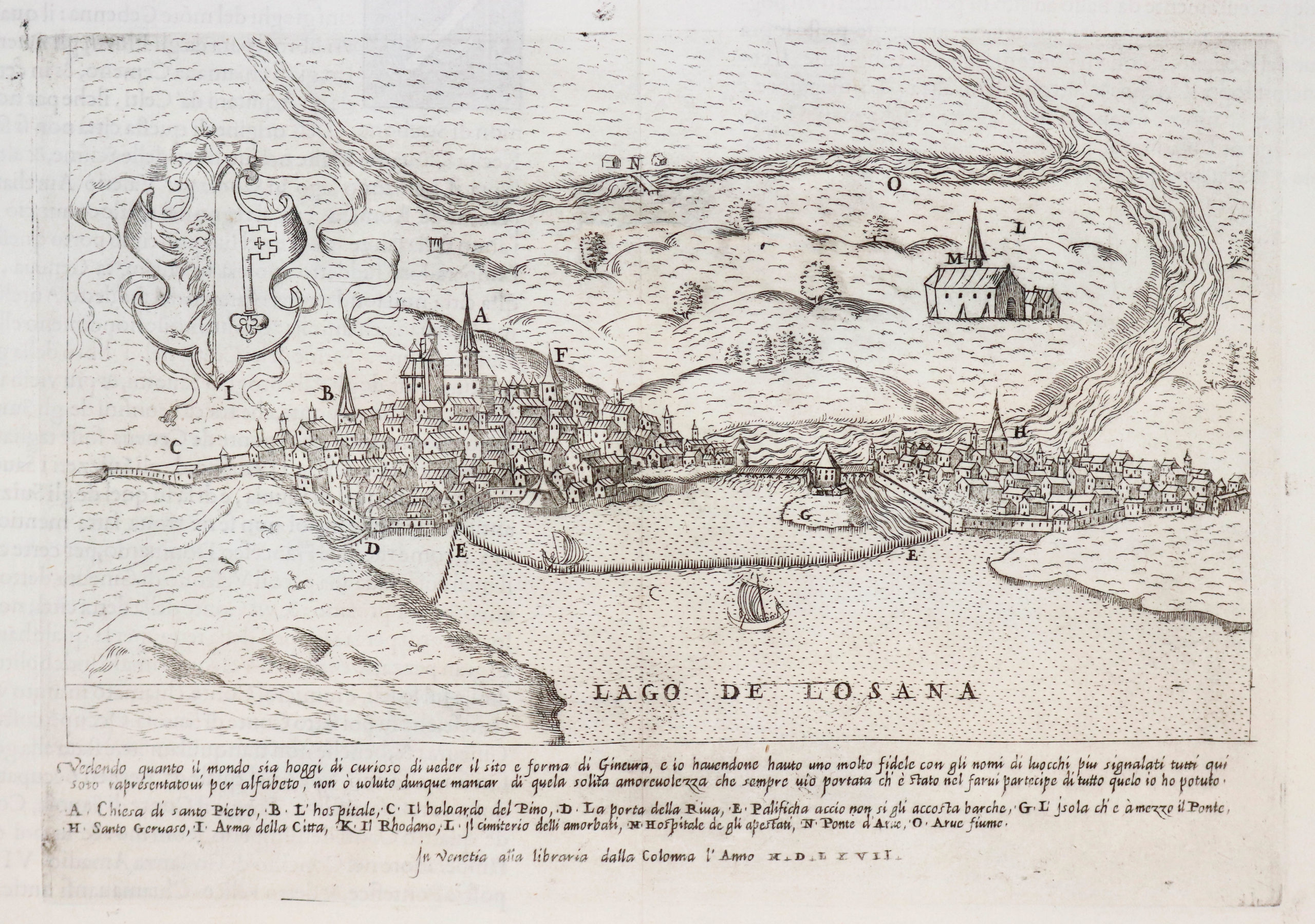
Ginevra.
- $950
- Excellent 1567 Lafreri view of Geneva.
-
Add to cart
![[LA ROCHELLE] Il vero sito della Rocella hora occupata da heretici et Ribelli di sua Maestà Christianissima della Quale sono Assediati.](https://neatlinemaps.com/wp-content/uploads/2022/11/NL-01639_thumbnail-scaled-300x300.jpg)
![[LA ROCHELLE] Il vero sito della Rocella hora occupata da heretici et Ribelli di sua Maestà Christianissima della Quale sono Assediati.](https://neatlinemaps.com/wp-content/uploads/2022/11/NL-01639_thumbnail-scaled.jpg)
![Delimitation de la Zone Occupee [German Occupation of France]](https://neatlinemaps.com/wp-content/uploads/2019/12/NL-00782-scaled-300x300.jpg)
![Delimitation de la Zone Occupee [German Occupation of France]](https://neatlinemaps.com/wp-content/uploads/2019/12/NL-00782-scaled.jpg)
