-
-
Add to cart
![[Redwood City] Oakleigh Park.](https://neatlinemaps.com/wp-content/uploads/2025/02/NL-02339_thumbnail-300x300.jpg) Quick View
Quick View - Bay Area & Silicon Valley, California
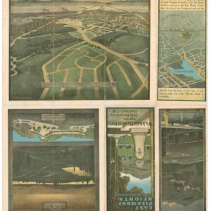
[Redwood City] Oakleigh Park.
- $650
- A seemingly unrecorded brochure for Oakleigh Park in Redwood City, complete with a bird's-eye-view.
-
-
-
-
Add to cart
 Quick View
 - Bay Area & Silicon Valley
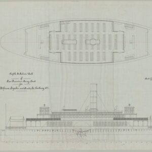
Ferry Boat San Pablo S.F. & S.J. Ry. Co. / Profile & Salon Deck of San Francisco Ferry Boat.
- $775
- A unique manuscript blueprint for the Atchinson, Topeka and Santa Fe Railway Company’s San Pablo Ferry.
-
-
-
-
Add to cart
 Quick View
 - Bay Area & Silicon Valley
East Piedmont Heights.
- $975
- [Housing Discrimination] Promotional map for East Piedmont Heights with implicit racial restrictions.
-
-
-
-
Add to cart
 Quick View
 - Bay Area & Silicon Valley, California
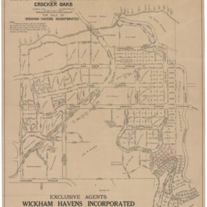
Properties in Crocker Tracts, Crocker Terrace and Crocker Oaks.
- $650
- Edward Prather’s 1914 cadastral map of the Crocker Highlands development in Oakland.
-
-
-
-
Add to cart
 Quick View
 - California, Bay Area & Silicon Valley, Atlases & Books
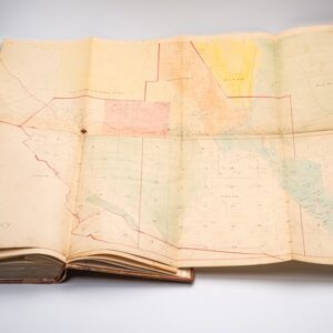
Assessment List Contra Costa County Sup. Dist. 2 Moraga Lafayette Walnut Creek & Alamo.
- $4,500
- Late 19th-century assessment with two fold-out maps, including a very early map of Walnut Creek.
-
-
-
-
Add to cart
 Quick View
 - Bay Area & Silicon Valley, California
Emeryville Industrial Tract.
- $400
- An early promotional map of Emeryville.
-
-
-
-
Add to cart
 Quick View
 - Bay Area & Silicon Valley, California
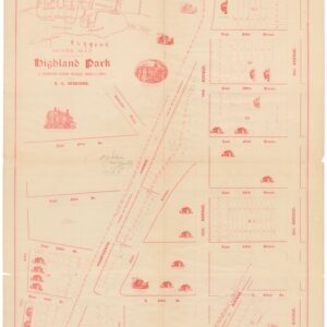
Highland Park.
- $475
- An 1893 Highland Park auction map with house vignettes.
-
-
-
-
Add to cart
 Quick View
 - Bay Area & Silicon Valley, California
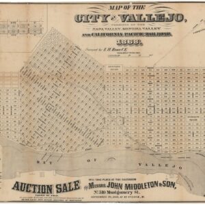
Map of the City of Vallejo, terminus of the Napa Valley, Sonoma Valley and California Pacific Railroad.
- $4,500
- The first official town plan of Vallejo.
-
-
-
-
Add to cart

 Quick View
 - Bay Area & Silicon Valley, Bird's-eye-views, California, Pictorial maps
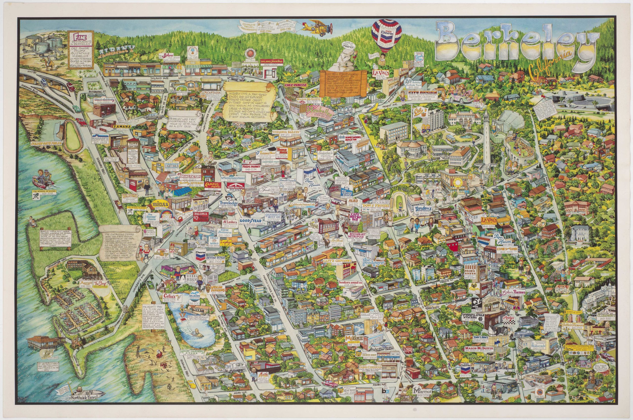
Berkeley California.
- $750
- Rich pictorial bird's-eye-view of Berkeley, including the University of California.
-
-
-
-
-
Add to cart
 Quick View
 - Bay Area & Silicon Valley
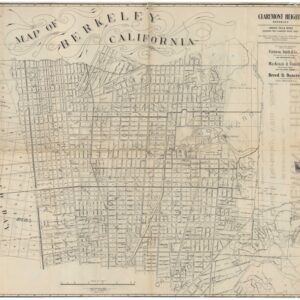
Map of Berkeley, California. W.F. McClure, City Engineer. Patterson, Smith & Co., Inc., successors to R.R. Patterson, Real Estate and Insurance, 2107 University Avenue … General agents for Claremont Heights Tract.
- $575
- Berkeley’s transformation from rural town to bustling university city.
-
-
-
-
Add to cart
 Quick View
 - Bay Area & Silicon Valley, California
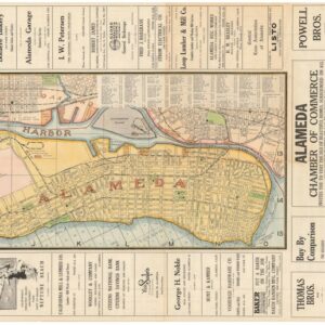
Map of Alameda and East Bay Cities.
- $775
- A fantastic 1920s map of Alameda.
-
-
-
-
Add to cart
 Quick View
 - Bay Area & Silicon Valley, California
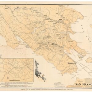
Hiking map of Marin County.
- $675
- 1930 Northwestern Pacific Railroad promotional hiking map of Marin County.
-
-