-
-
Add to cartQuick View
- Bird's-eye-views, Texas and The West
Salt Lake City, 1887.
- $2,900
- The Bustling New Jerusalem of the American West.
-
Add to cart
-
-
Add to cartQuick View
- San Francisco
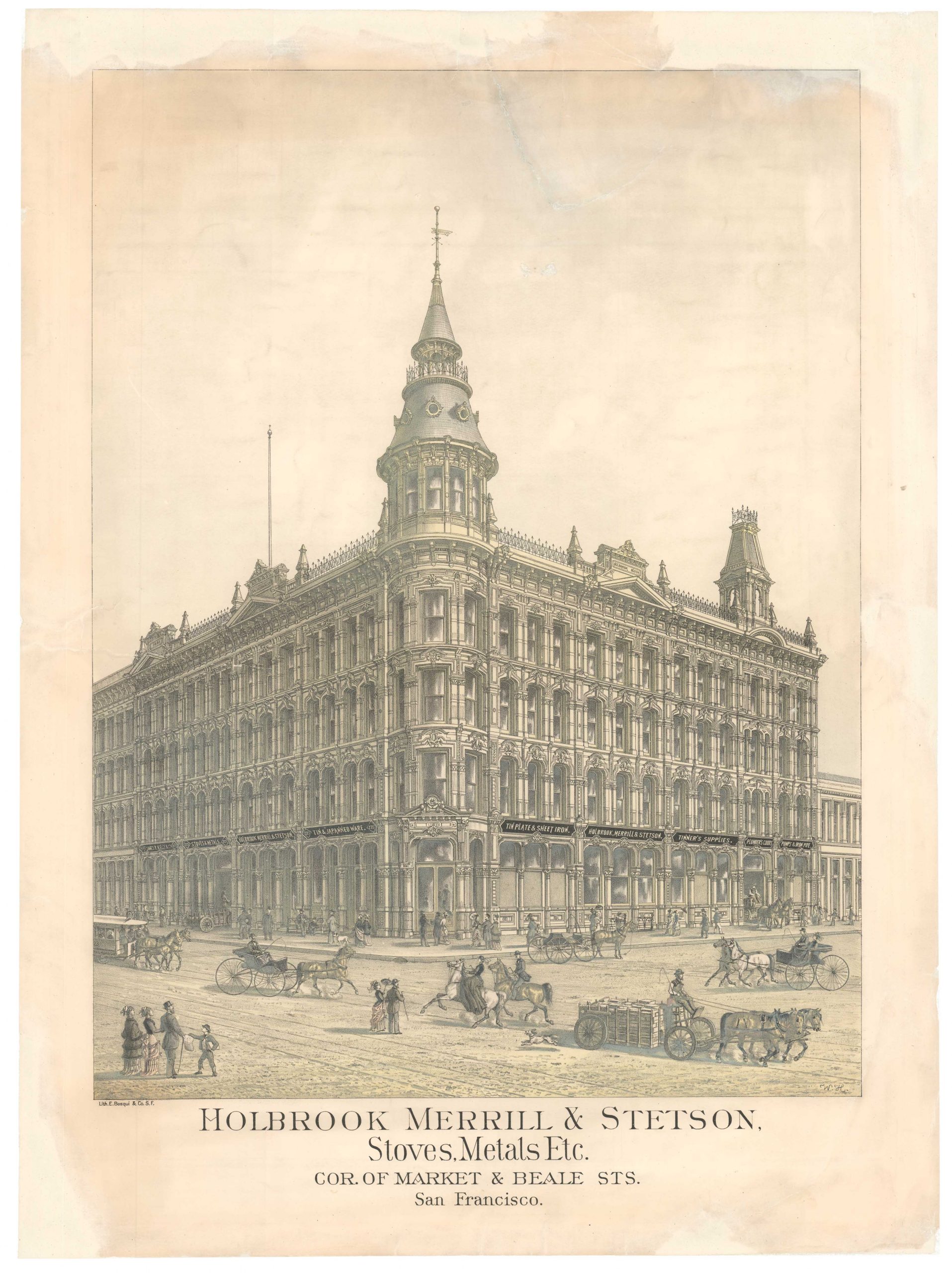
Holbrook Merrill & Stetson, Stoves, Metals Etc. Cor. of Market & Beale Sts. San Francisco.
- $900
- A large circa 1881 Bosqui lithograph of an important San Francisco architectural landmark.
-
Add to cart
-
-
Add to cartQuick View
- San Francisco
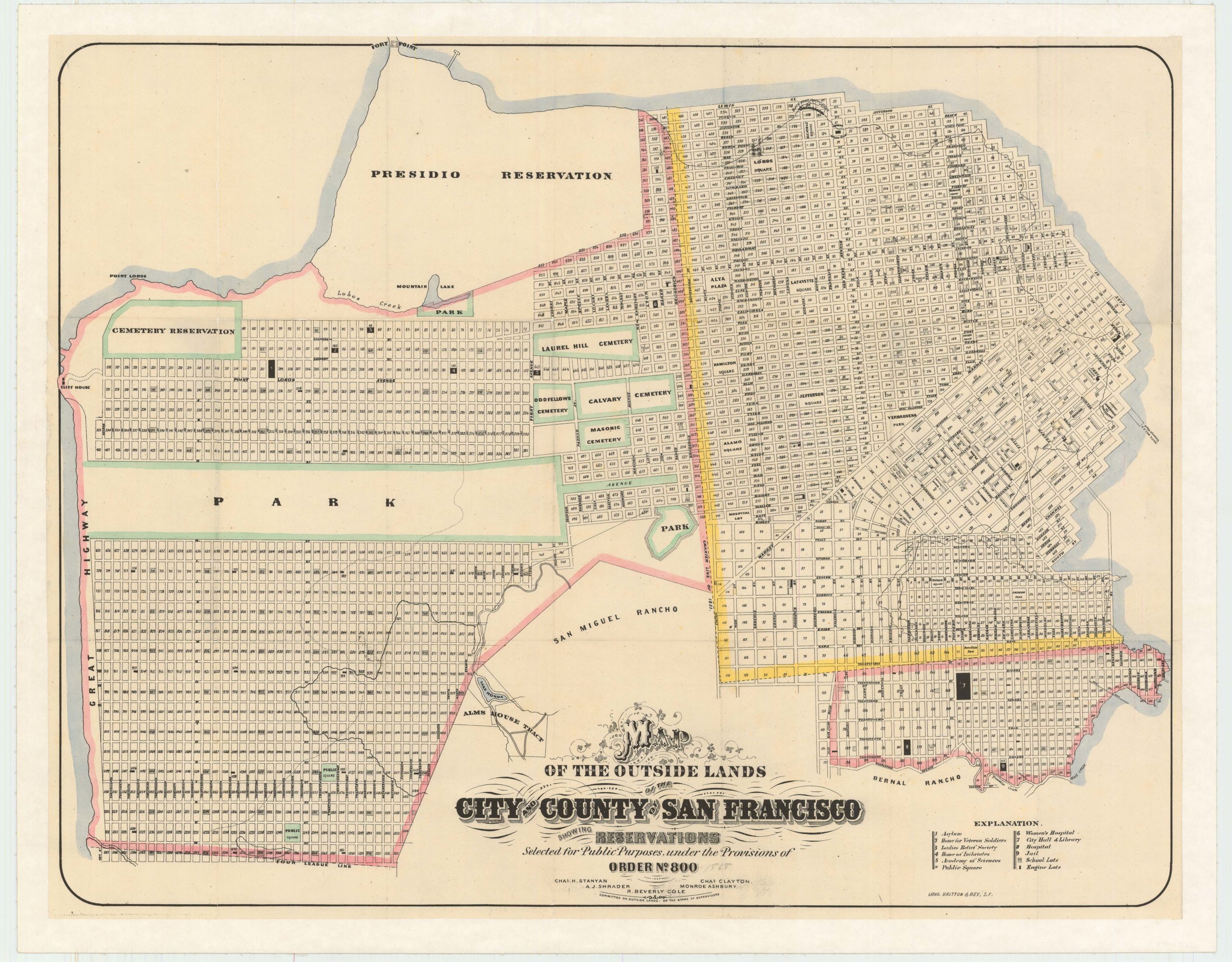
Map of the Outside Lands of the City and County of San Francisco Showing Reservations Selected for Public Purposes, under the Provisions of Order No. 800
- $3,800
- Mapping the Outside Lands - a foundational map for the history of San Francisco.
-
Add to cart
-
-
Add to cartQuick View
- San Francisco
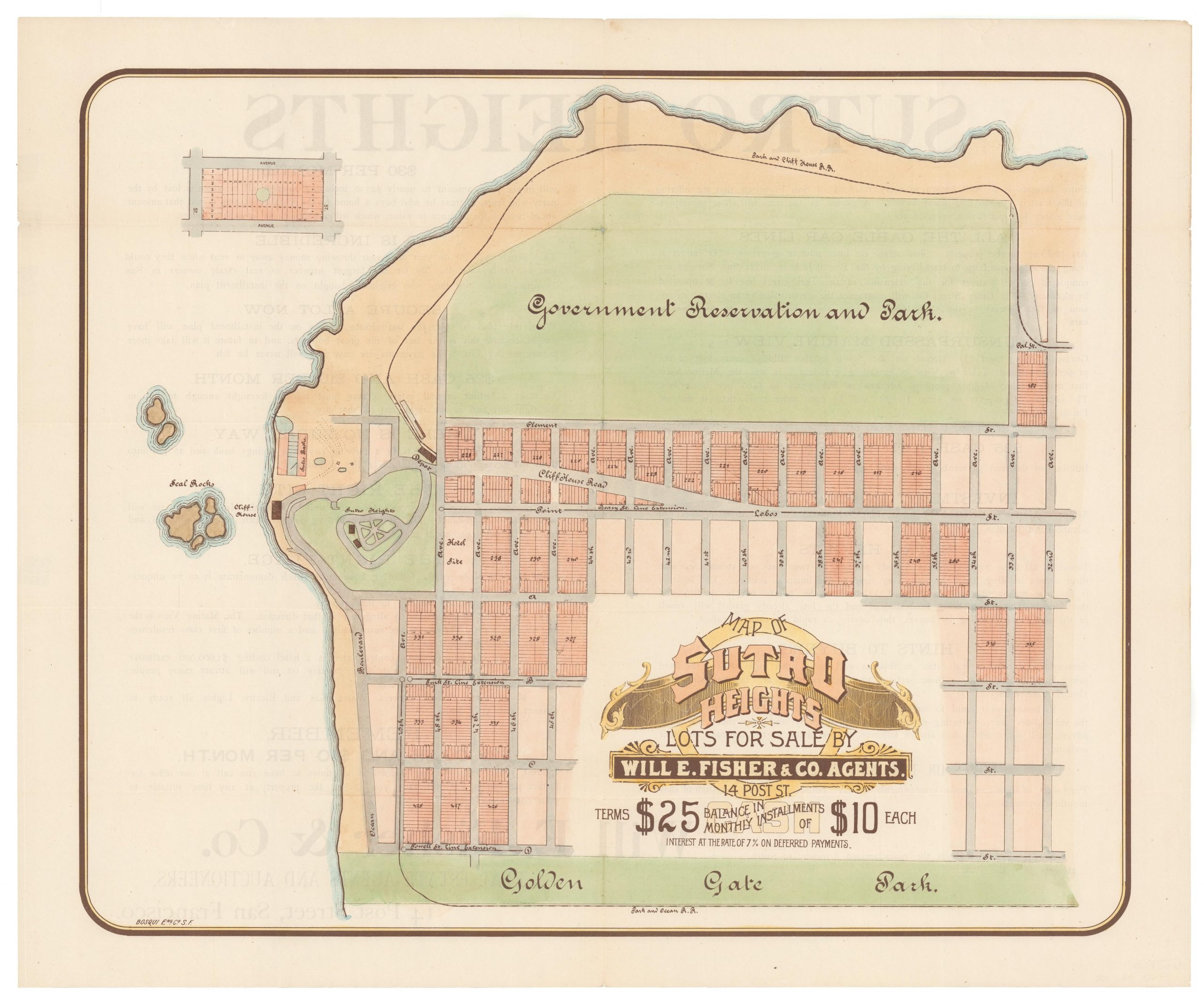
Map of Sutro Heights Lots for Sale by Will E. Fisher and Co. Agents.
- $650
- An 1893 commercial broadsheet for the real estate development at Sutro Heights - the site of San Francisco landmarks like the Sutro Baths and Cliff House.
-
Add to cart
-
-
Add to cartQuick View
- San Francisco
5-sheet set showing San Francisco’s post-1906 earthquake water supply [SF’s first fireboat!]
- $8,500
- Four technical maps focussing on urban infrastructure and water supply and one engineering blueprint for a new fireboat, together reflecting San Francisco's coordinated response to the devastation of the 1906 earthquake. With an interesting provenance.
-
Add to cart
-
-
Add to cartQuick View
- San Francisco
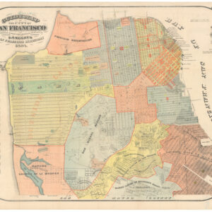
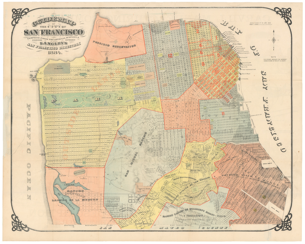
Guide Map of The City of San Francisco compiled from the Official Surveys & Engraved Expressly For Langley’s San Francisco Directory 1884
- $1,400
- Langley's splendid city directory plan: one of the most successful pre-1906 maps of San Francisco.
-
Add to cart
-
-
Add to cartQuick View
- British Isles, Europe
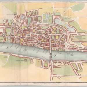
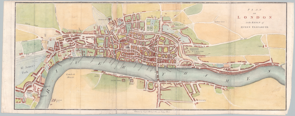
Plan of London in the reign of Queen Elisabeth.
- $725
- Attractive 1835 city plan of Elizabethan London.
-
Add to cart
-
-
Add to cartQuick View
- California, Bay Area & Silicon Valley
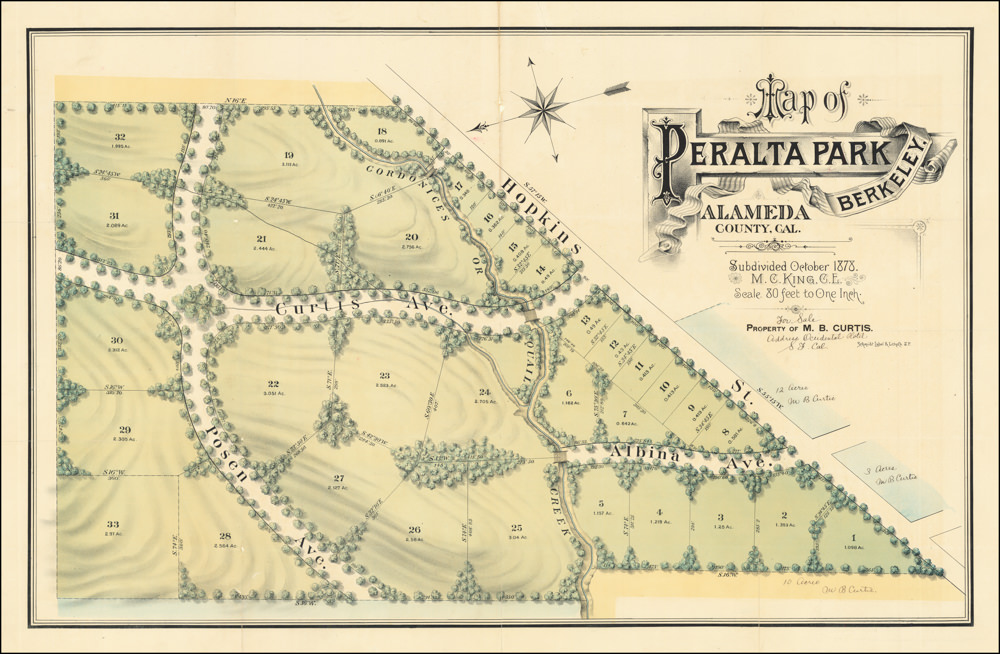
Map of Peralta Park, Berkeley, Alameda County, Cal. Subdivided October 1878. M.C. King, C.E. Scale 80 Feet to One Inch. Property of M.B. Curtis.
- $2,450
- Land grants, failed endeavors, and a fabulously wealthy stage actor: the story of North Berkeley's Peralta Park.
-
Add to cart
-
-
Add to cartQuick View
- California, Bird's-eye-views
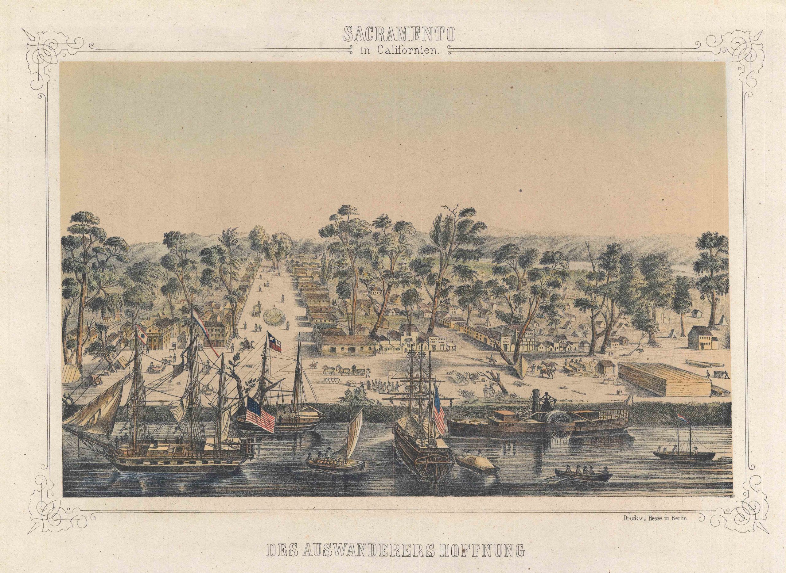
Sacramento in Californien: Des Auswanderers Hoffnung.
- $1,250
- Gold Rush view of old town Sacramento around the time of California's statehood.
-
Add to cart
-
-
Add to cartQuick View
- Featured Maps & Views, San Francisco
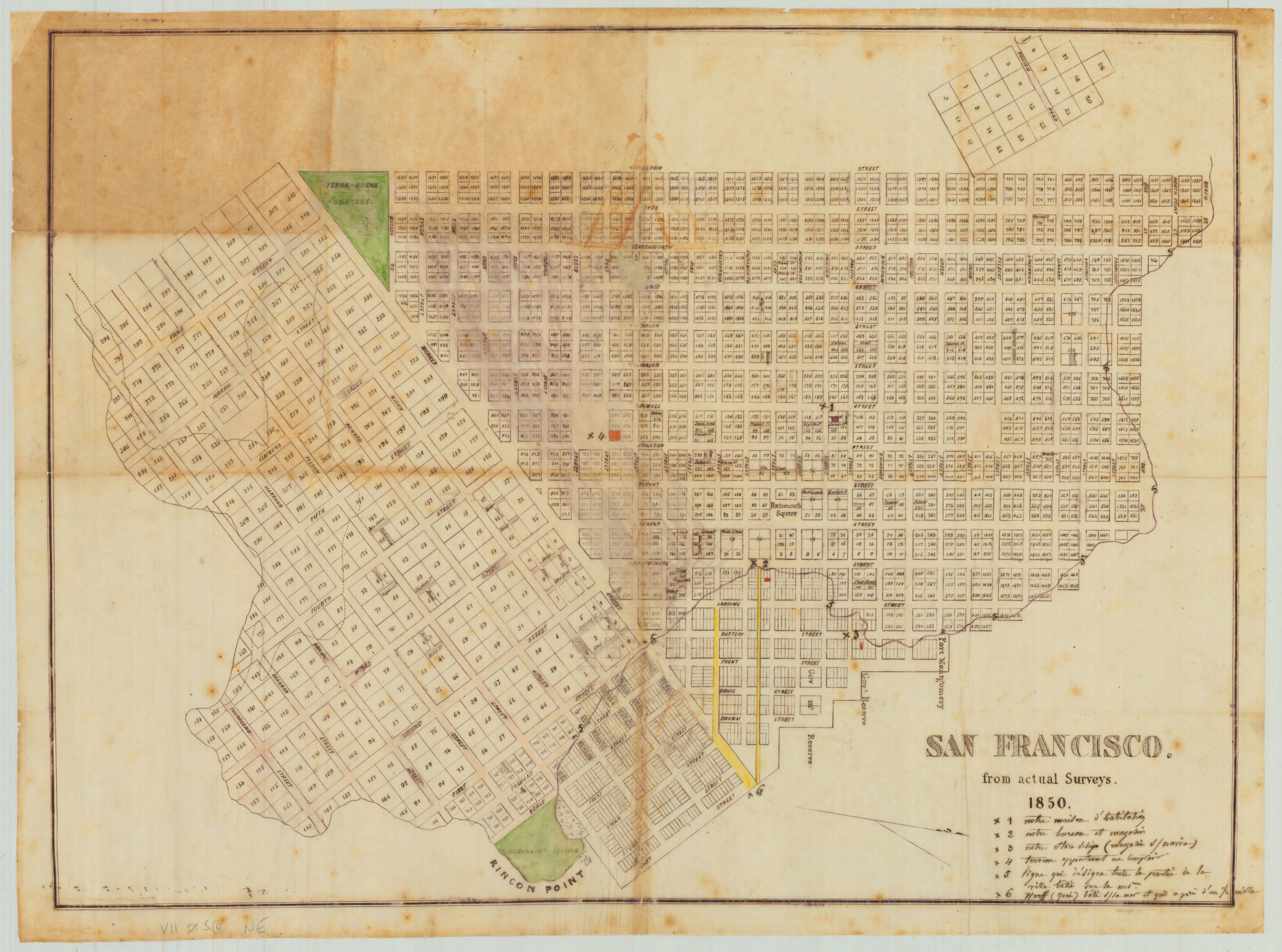
San Francisco. from actual Surveys. 1850.
- $75,000
- A unique artifact of Gold Rush San Francisco, including one of San Francisco's most famous buried ships!
-
Add to cart
-
-
Add to cartQuick View
- Featured Maps & Views, San Francisco
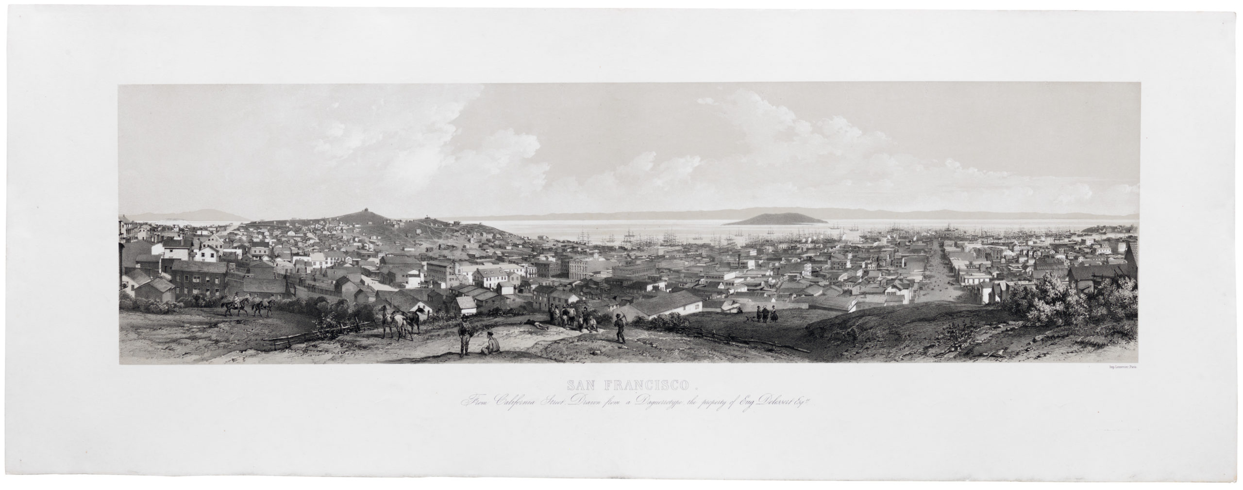
San Francisco. From California Street. Drawn from a Daguerreotype, the property of Eugene Delessert, Esq.re
- $8,000
- Spectacular Gold Rush era view of San Francisco published in Paris.
-
Add to cart

![5-sheet set showing San Francisco’s post-1906 earthquake water supply [SF’s first fireboat!]](https://neatlinemaps.com/wp-content/uploads/2022/03/NL-01375-sheet-4_thumbnail-scaled-300x300.jpg)
![5-sheet set showing San Francisco's post-1906 earthquake water supply [SF's first fireboat!]](https://neatlinemaps.com/wp-content/uploads/2022/03/NL-01375-sheet-4_thumbnail-scaled.jpg)
