-
-
Add to cart
 Quick View
 - East & Midwest United States, United States
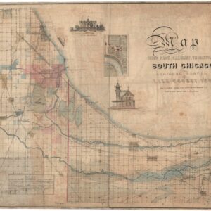
Map of Hyde Park, Calumet, Thornton, South Chicago and Northern Portion of Lake County, Ind. owing to the natural advantages of its situation South Chicago is to become the great industrial center of the north west.
- $8,500
- Exceedingly Rare South Chicago Map. Likely published just months before the Great Chicago Fire of 1871.
-
-
-
-
Add to cart
 Quick View
 - United States
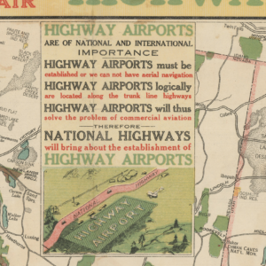
Map of the Pikes Peak Ocean to Ocean Highway: the Appian way of America…
- $1,400
- A Data-Rich 1924 Transcontinental Highway Map Fused with America's Vision of Coast-to-Coast Flight.
-
-
-
-
Add to cart
 Quick View
 - Texas and The West, United States
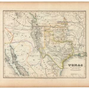
Texas Nach den besten Quellen entw. U. Gez. Vom Hauptm. Radefeld.
- $1,200
- Rare second edition of Meyer's map of Texas and the Southwestern U.S. with substantial updates and revisions.
-
-
-
-
Add to cart
 Quick View
 - East & Midwest United States, Featured Maps & Views
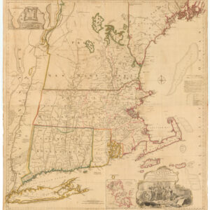
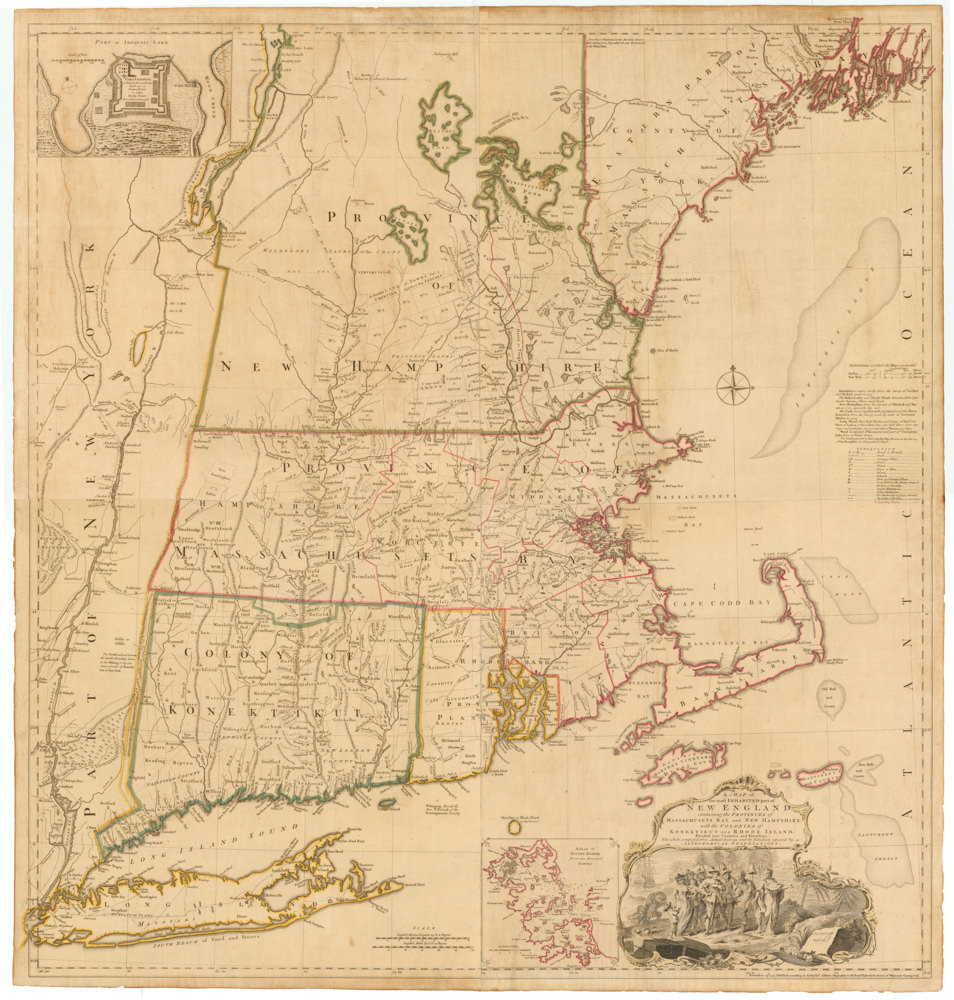
A MAP of the most INHABITED part of NEW ENGLAND, containing the PROVINCES of MASSACHUSETS BAY and NEW HAMPSHIRE, with the COLONIES of KONEKTIKUT AND RHODE ISLAND…
- $45,000
- Unobtainable first state of one of the most influential maps of New England ever made.
-
-
-
-
-
Add to cart
 Quick View
 - United States
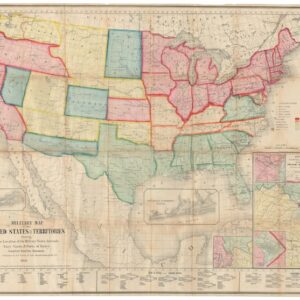
Military Map of the United States & Territories Showing the Location of the Military Posts, Arsenals, Navy Yards, & Ports of Entry.
- 1861 Civil War Map Showing Arizona as a Confederate Territory, and Among the First Maps to Show the Three New Territories of Colorado, Dakota, and Nevada.
-
-
-
-
Add to cart
 Quick View
 - Americas, Mexico - Central & South America
Brasilia et Peruvia.
- $10,500
- De Jode's 1593 South America in Exceptional Original Color.
-
-
-
-
Add to cart
 Quick View
 - Texas and The West
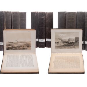
PACIFIC RAILROAD SURVEYS. Reports of Explorations and Surveys, to Ascertain the Most Practicable and Economical Route for a Railroad from the Mississippi River to the Pacific Ocean, Made Under the Direction of the Secretary of War, in 1853-4. Washington, D.C.: Beverley Tucker, 1855-1861.
- $6,000
- The Complete Pacific Railroad Surveys, Senate Issue, 1855–1861.
-
-
-
-
Add to cart
 Quick View
 - United States
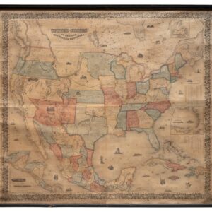
Colton’s Map of the United States of America, The British Provinces, Mexico and The West Indies Showing the Country from the Atlantic to the Pacific Ocean. New York, 1855.
- $3,800
- Colton's 1855 Wall Map of the United States: The Rarest Known State, and the First to Show Gadsden Purchase Borders.
-
-
-
-
Add to cart
 Quick View
 - Americas, Cuba, West Indies, Caribbean
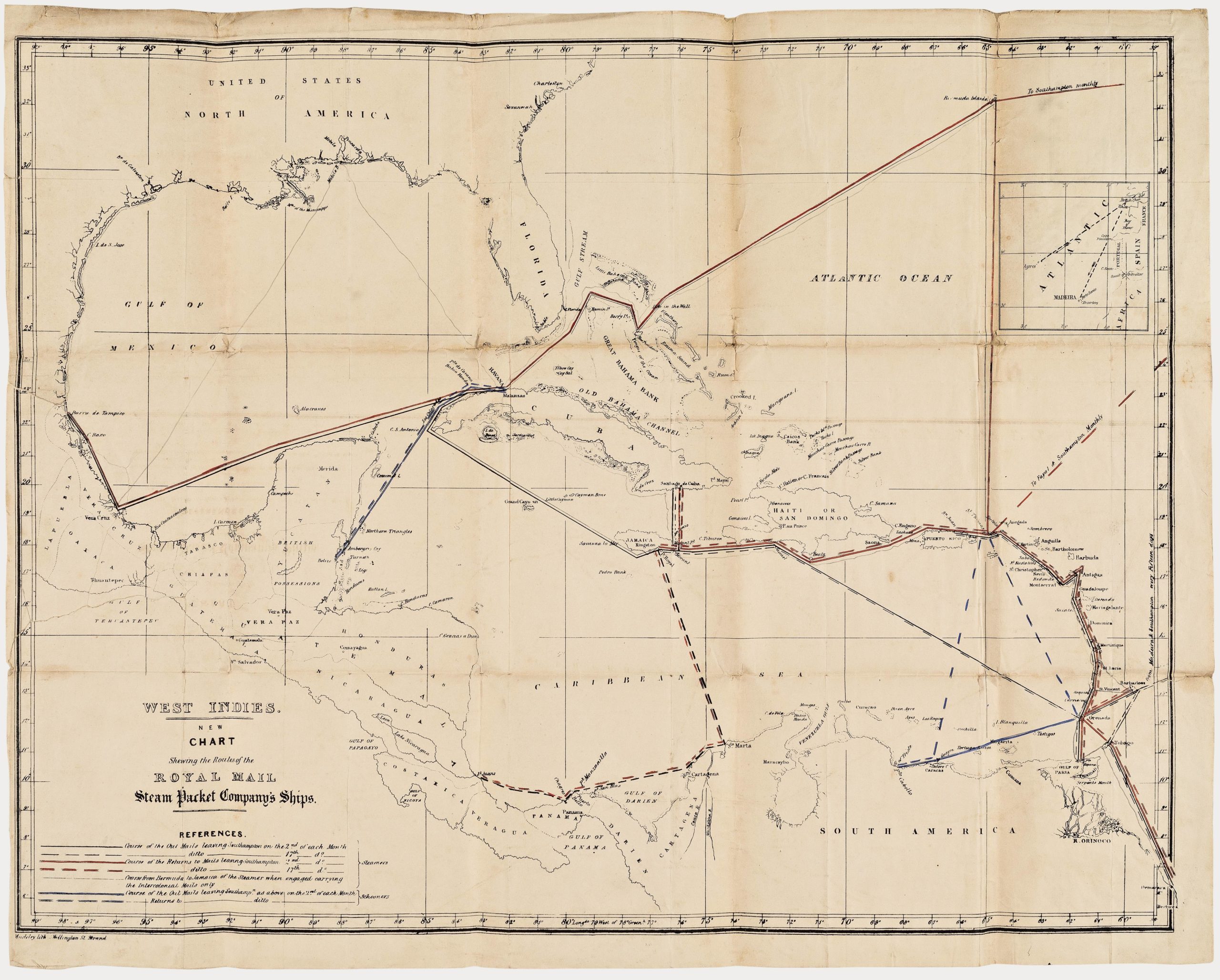
West Indies. New Chart shewing the Routes of the Royal Mail Steam Packet Company’s Ships.
- $2,400
- The communications lifeline of the British Caribbean: an unrecorded map of the Royal Mail Steam Packet Company’s Ships to the West Indies.
-
-
-
-
-
Add to cart
 Quick View
 - East & Midwest United States, United States
A Map of the Rail Roads of Virginia Prepared Under the Direction of the Board of Public Works.
- $4,800
- Rare Pre-Civil War Virginia Railroad Map Printed in Richmond, 1858.
-
-
-
-
Add to cart
 Quick View
 - East & Midwest United States, United States
Gettysburg. Repulse of Longstreet’s Assault.
- $900
- Bachelder’s magnificent rendering of Longstreet’s Assault (Pickett's Charge).
-
-
-
-
Add to cart
 Quick View
 - East & Midwest United States, Featured Maps & Views, United States
Gettysburg Battle-Field.
- $2,400
- Bachelder's iconic 1863 view of the Battle of Gettysburg.
-
-
