-
-
Add to cart
 Quick View
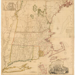
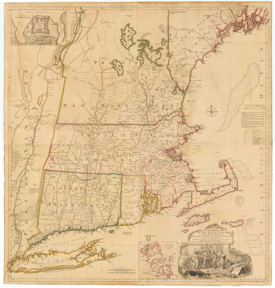
 - East & Midwest United States, Featured Maps & Views
A MAP of the most INHABITED part of NEW ENGLAND, containing the PROVINCES of MASSACHUSETS BAY and NEW HAMPSHIRE, with the COLONIES of KONEKTIKUT AND RHODE ISLAND. Divided into Counties and Townships: The whole composed of Actual Surveys and its situation adjusted by ASTRONOMICAL OBSERVATIONS.
- $55,000
- Unobtainable first state of one of the most influential maps of New England ever made.
-
-
-
-
-
Add to cart
 Quick View
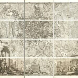
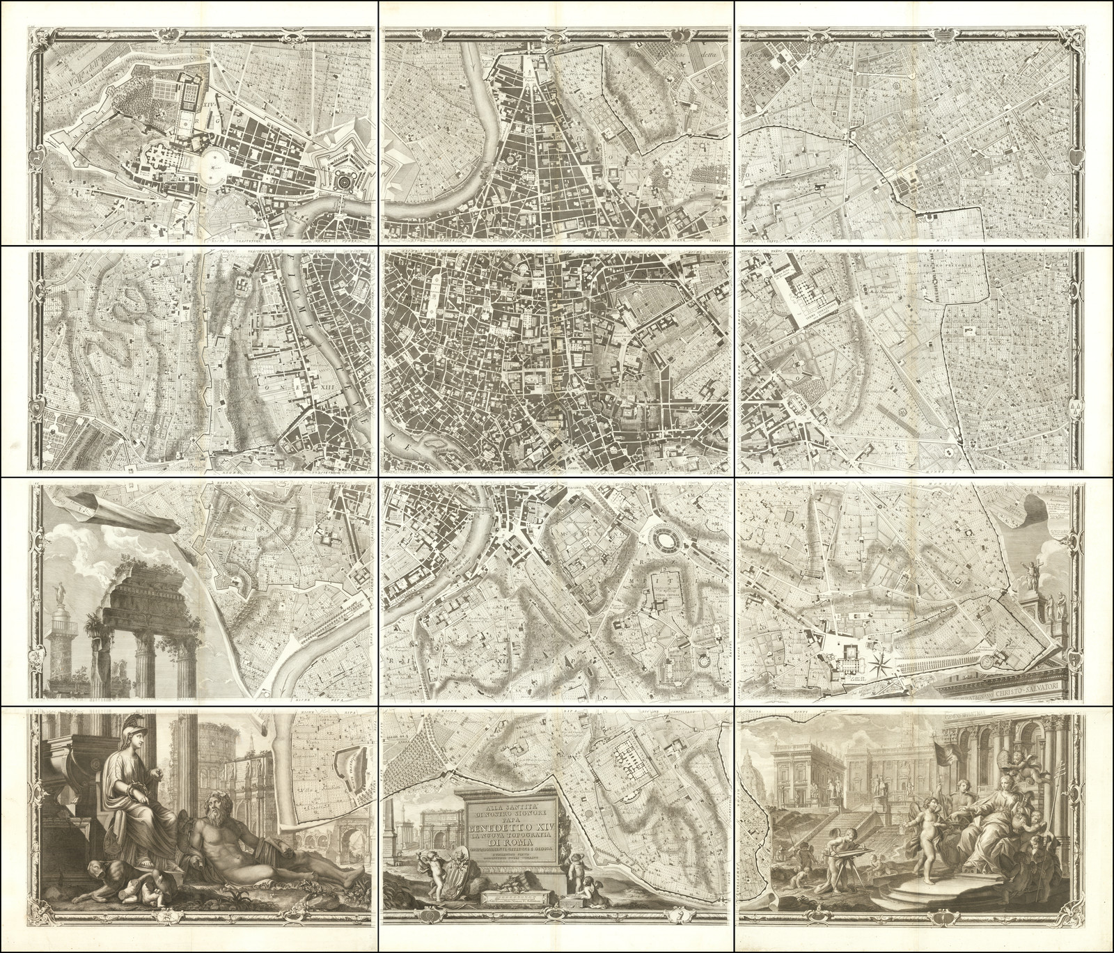
 - Europe, Featured Maps & Views, Italy, Michael's Collection
Alla Santità di Nostro Signore Papa Benedetto XIV La Nuova Topografia di Roma…
- $35,000
- The famous Nolli wall map of Rome: one of the finest urban plans ever made.
-
-

-
-
-
Add to cart
 Quick View
 - East & Midwest United States
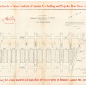
Map of Property in the Second Ward, Borough of Queens… / Absolute Long Island City Auction Sale.
- $475
- Joseph P. Day and the early days of Queens' development.
-
-
-
-
Add to cart
 Quick View
 - Americas
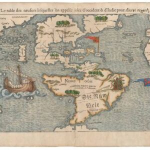
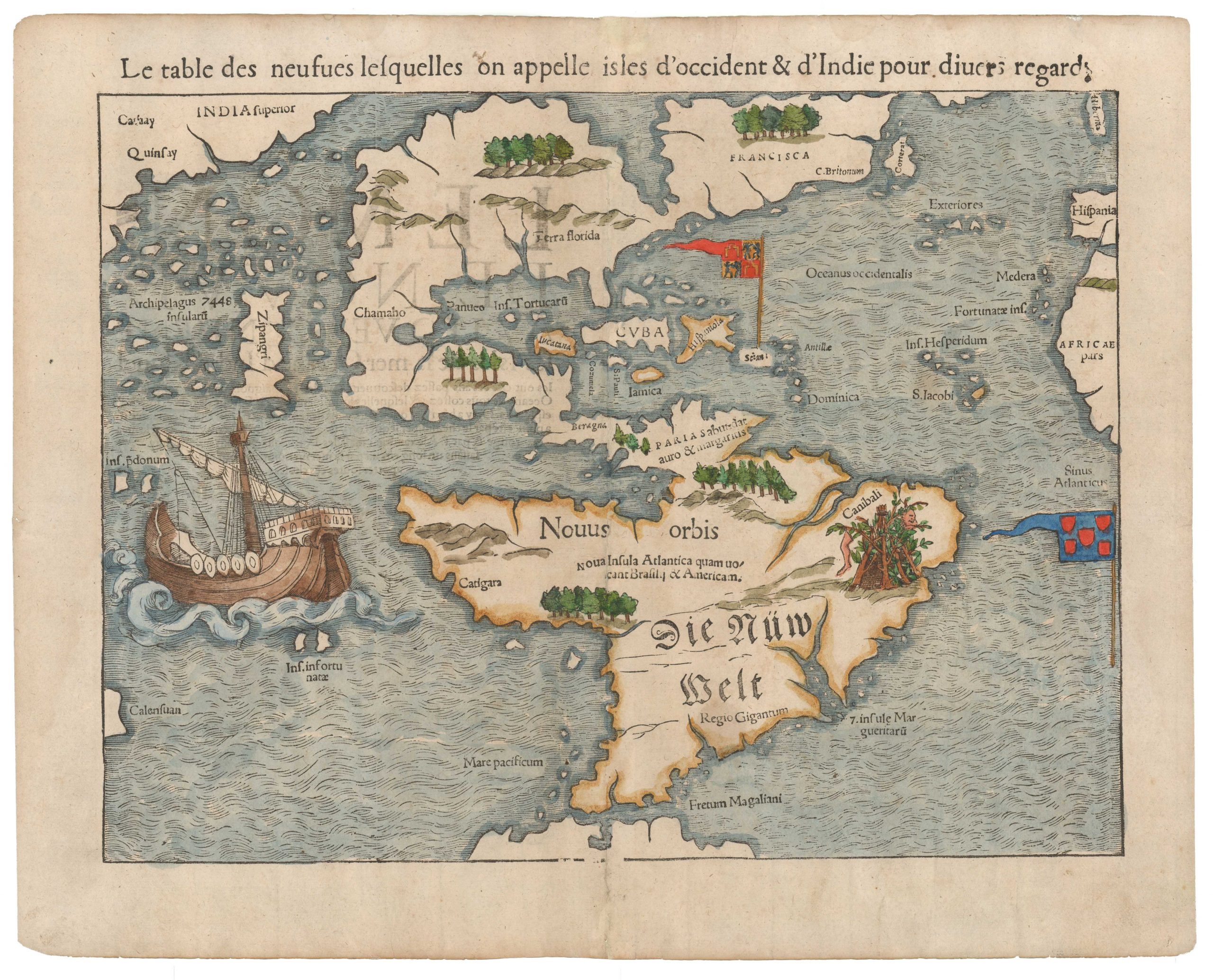
La table des isles neufues lesquelles on appelle isles d’occident & d’Indie pour diuers regardz.
- $6,500
- Sebastian Münster’s Map of the Americas: The first printed map of the new continents in their entirety.
-
-

-
-
-
Add to cart
 Quick View
 - East & Midwest United States, United States
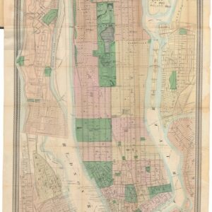
Map of New York and Vicinity.
- $1,200
- From city to metropolis: Matthew Dripps’ rare folding map of New York.
-
-
-
-
Add to cart
 Quick View
 - Atlases & Books, World
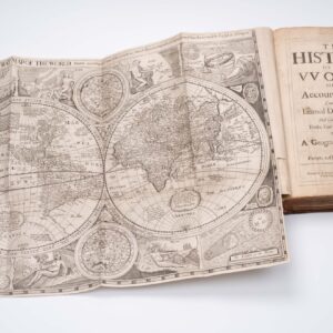
The history of the vvorld: or, An account of time. Compiled by the learned Dionisius Petavius. And continued by others, to the year of our Lord, 1659. Together with a geographicall description of Europe, Asia, Africa, and America.
- $9,500
- With Robert Walton's rare world map.
-
-
-
-
Add to cart
 Quick View
 - East & Midwest United States
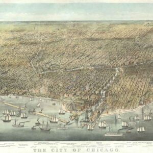
The City of Chicago.
- $6,500
- Probably the most iconic view of Chicago ever made…
-
-
-
-
Add to cart
![[Untitled] Portraits and facsimile signatures of 48 American patriots.](https://neatlinemaps.com/wp-content/uploads/2024/05/NL-01743_thumbnail-300x300.jpg) Quick View
Quick View - Curiosities - Miscellanea, East & Midwest United States
[Untitled] Portraits and facsimile signatures of 48 American patriots.
- $2,400
- A formative sheet in patriotic printing.
-
-
-
-
Add to cart
 Quick View
 - East & Midwest United States
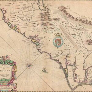
A New Description of Carolina.
- $4,000
- A beautiful example of Speed's notable mapping of the interior of Carolina.
-
-
-
-
Add to cart
 Quick View
 - East & Midwest United States
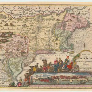
Recens Edita totius Novi Belgii, in America Septenrionali siti, delineatio cura et sumptibus
- $4,000
- The most widely emulated map of colonial North America, with one of the earliest views of New York City.
-
-