Chez Charles Piquet was a notable map publishing house in Paris during the 19th century. Charles Piquet, the founder, was a prominent French geographer and cartographer. The publishing house gained distinction for producing high-quality and detailed maps, often focusing on the city of Paris and its surroundings. These maps were known for their accuracy, detail, and artistic merit.
During the 19th century, the field of cartography was evolving with the advancement of surveying techniques and the increasing demand for precise and reliable maps for navigation, urban planning, and military purposes. Piquet’s maps played a significant role in meeting these needs, offering a valuable resource for understanding the geography and urban development of Paris during that era.
Piquet’s work was particularly important in the context of the transformation of Paris under Baron Haussmann in the mid-to-late 19th century, which saw extensive urban renewal and restructuring. Maps produced by Chez Charles Piquet would have provided contemporary and subsequent viewers with an intricate understanding of the city’s layout, streets, and neighborhoods, both before and after Haussmann’s renovations.
-
-
Add to cartQuick View
- Asia
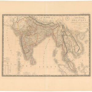
Carte Générale des Indes en-deca et au-dela du Gange.
- $450
- South Asia by France’s Royal Geographer.
-
Add to cart
Archived
- Out of Stock
- Eastern Mediterranean - Holy Land
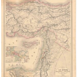
Carte de la Syrie, l’Asie Mineure et de la Basse Égypte, extraite de d’une carte de l’empire Ottoman en 12 flles.
- A French take on the Levant, twenty years before the expedition that initiated France’s colonial interest in the region.
- Read moreQuick View
-
- Out of Stock
- Asia, World
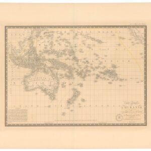
Carte Générale de l’Oceanie ou Cinquième Partie du Monde.
- The Earth’s greatest archipelago in vivid detail.
- Read moreQuick View
-


