Philippe Buache (born La Neuville-au-Pont, 7 February 1700; died Paris, 24 January 1773) was a French geographer, known for inventing a new system of geography and popularizing this field.
Buache was trained under the geographer Guillaume Delisle, whose daughter he married, and whom he succeeded in the Académie des sciences in 1730.
Buache was nominated first geographer of the king in 1729. He established the division of the world by seas and river systems. He believed in a southern continent, an hypothesis which was confirmed by later discoveries. In 1754, he published an “Atlas physique.”
-
-
Add to cartQuick View
- Pacific Northwest - Hawaii - Alaska
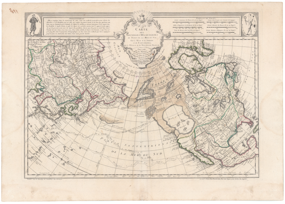
Carte Des Nouvelles Decouvertes Au Nord de la Mer de Sud, Tant a l’Est de la Siberie et du Kamtchatcka, Qu’a l’Ouest de la Nouvelle France, Dressee sur les Memoires…1750
- $1,800
- Famed North Pacific map, with a giant Sea of the West and the dubious discoveries of Admiral de Fonte.
-
Add to cart
-
-
Add to cartQuick View
- Americas, Cuba, West Indies, Caribbean, East & Midwest United States
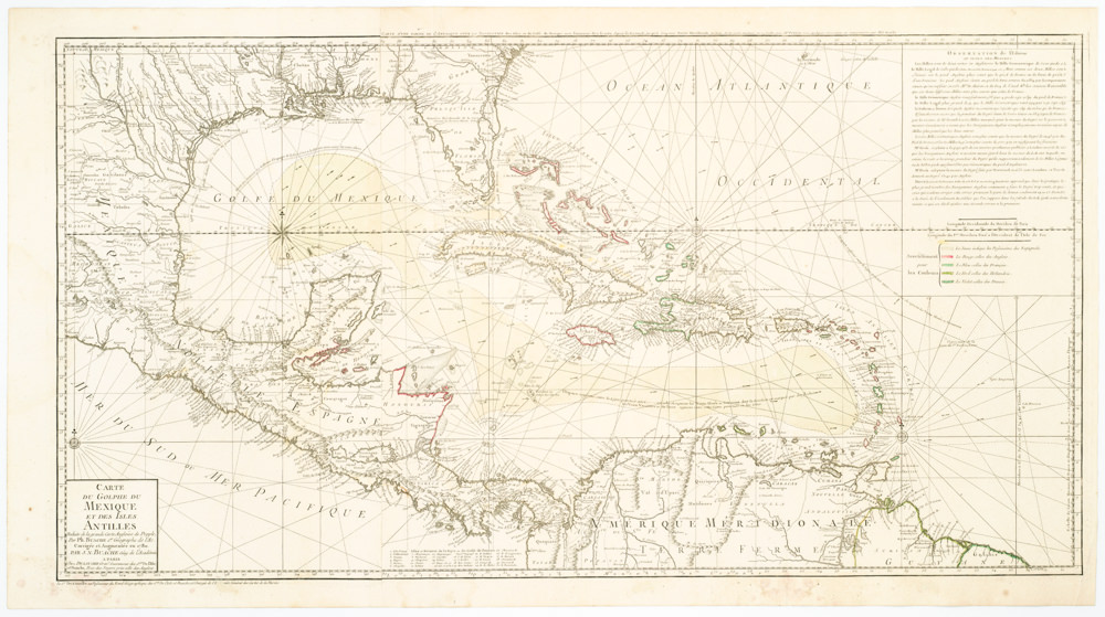
Carte Du Golphe Du Mexique Et Des Isles Antilles Reduite de la grande carte Angloise de Popple, Par PH. Buache…1780.
- $900
- Dezauche's exquisite chart of the Gulf Coast, Florida, and Caribbean Archipelago depicts a French Colonial Empire that is slowly falling apart.
-
Add to cart
Archived
- Out of Stock
- Americas, Canada and The Great Lakes
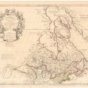
Carte du Canada qui comprend la partie septentrionale des Etats Unis d’Amérique.
- De l’Isle’s seminal rendition of Canada in the desirable Post-Revolution state!
- Read moreQuick View
-
