The Punnett Brothers were map publishers based in the San Francisco Bay Area during the late 19th and early 20th centuries. Noted for their detailed depictions of the region, their maps, especially those concerning San Francisco and its environs, serve as pivotal resources for historians and urban researchers.
Many of the maps produced by the Punnett Brothers showcase intricate street layouts, building footprints, and land-use designations of the era. These illustrations provide invaluable insights into the urban development patterns and transformative shifts that occurred as San Francisco underwent rapid growth.
The maps curated by the Punnett Brothers stand as a testament to the changing landscape and infrastructural evolutions of the Bay Area during a time of great change. For scholars and enthusiasts of historical cartography focusing on the Bay Area, the Punnett Brothers’ collections remain an indispensable reference.
-
-
Add to cartQuick View
- Bay Area & Silicon Valley, California
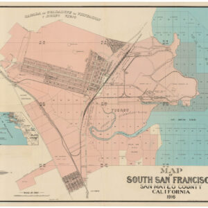
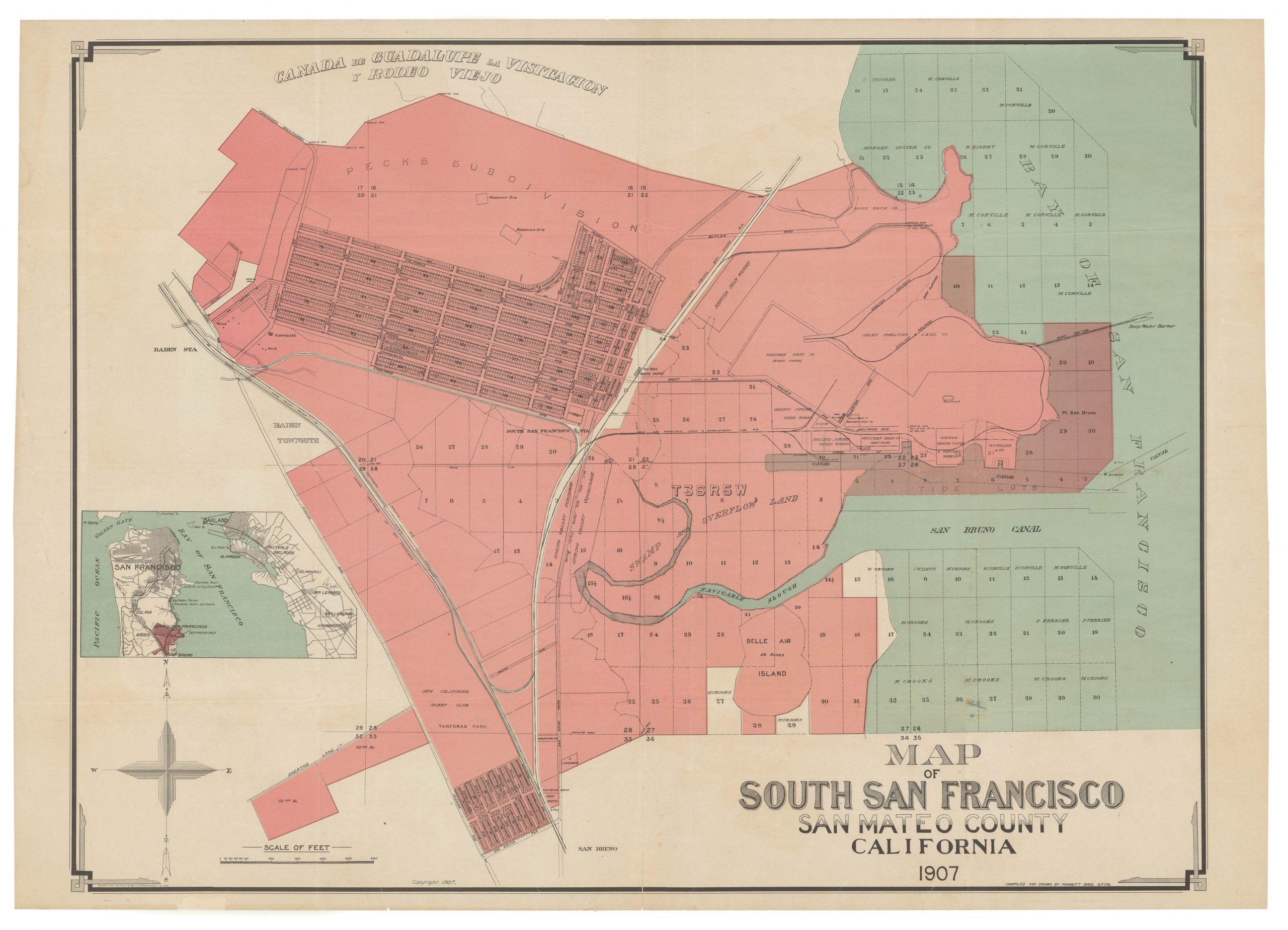
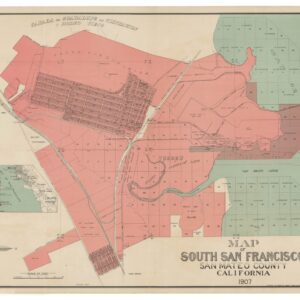
Map of South San Francisco, San Mateo County, California.
- $1,600
- A large-format urban plan of South San Francisco.
-
Add to cart
Archived
- Out of Stock
- Bay Area & Silicon Valley
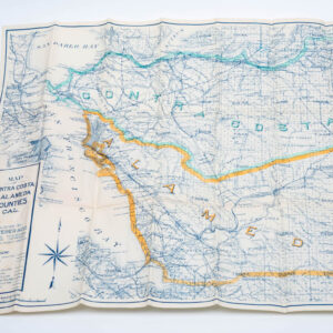
Map of Contra Costa & Alameda Counties Cal.
- A fine 1913 Weber-Punnett map of the East Bay.
- Read moreQuick View
-
- Out of Stock
- San Francisco
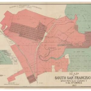
Map Showing Property of South San Francisco Land and Improvement Co at South San Francisco, San Mateo County, California
- A large-format urban plan of South San Francisco.
- Read moreQuick View
-
- Out of Stock
- Marin, Sonoma, & Napa Valley
[Marin County]
- Excellent 1914 C.F. Weber map of Marin County
- Read moreQuick View
-
![[Marin County]](https://neatlinemaps.com/wp-content/uploads/2019/09/NL-00635_r-scaled-300x300.jpg)
![[Marin County]](https://neatlinemaps.com/wp-content/uploads/2019/09/NL-00635_r-scaled.jpg)