Created by an act of Congress in 1879, the United States Geological Survey (USGS) is a scientific agency under the U.S. government whose purpose is to investigate, survey, and map the United States territory, including natural resources and any potential threats to the depicted habitat. The organization has evolved over time, gradually adapting to the progress of science and technology.
The USGS is the only science-based agency under the Department of the Interior, and its responsibilities fall within the disciplines of biology, geography, geology, and hydrology. The USGS is considered the best authority on domestic questions relating to these subjects, and often their maps will cover several or all of these themes in the same chart.
-
-
Add to cartQuick View
- Pacific Northwest - Hawaii - Alaska
Mount St. Helen’s Quadrangle (7.5 Minute Series)
- $575
- Washington’s dramatic volcanic peak, taken a few years before the catastrophic 1980 eruption.
-
Add to cart
-
-
Add to cartQuick View
- Texas and The West
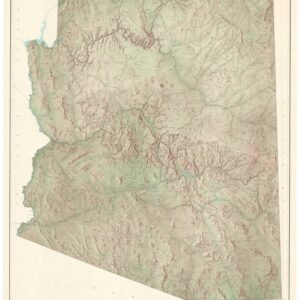
State of Arizona.
- $650
- A large, exquisite topographical map of Arizona, produced after World War II by the most reliable mapping agency on the planet.
-
Add to cart
Archived
- Out of Stock
- Curiosities - Miscellanea
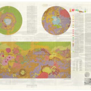
Geologic Map of Mars.
- The first map in history to scientifically map the entire surface of Mars.
- Read moreQuick View
-
- Out of Stock
- Arabia and the Red Sea
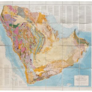
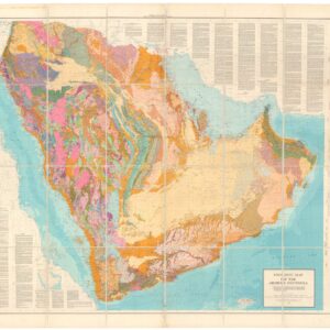
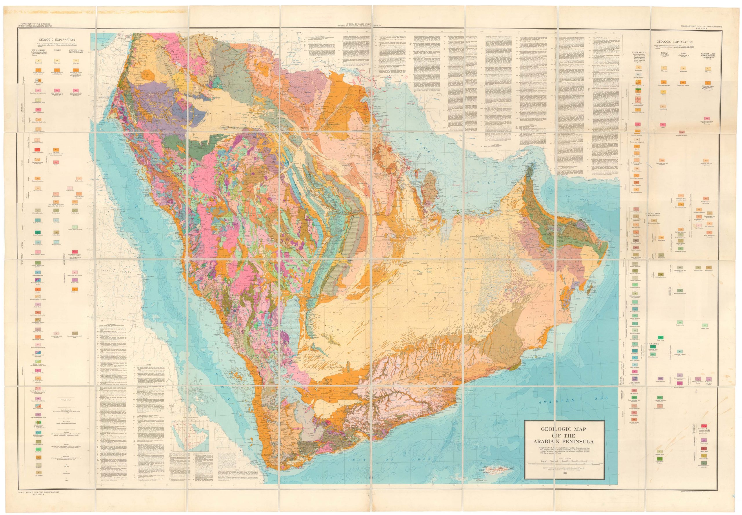
Geologic Map of the Arabian Peninsula.
- The first complete geological profile of Saudi Arabia and her neighbors; the result of a collaboration between ARAMCO and the U.S. Geological Survey.
- Read moreQuick View
-
- Out of Stock
- California
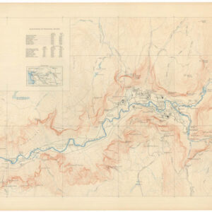
Map of the Yosemite Valley.
- High-res topographical map of Yosemite Valley, building on the seminal 1930 chart by Francois E. Matthes.
- Read moreQuick View
-
- Out of Stock
- Pacific Northwest - Hawaii - Alaska
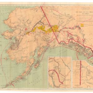
The Gold and Coal Fields of Alaska, Together With The Principal Steamer Routes and Trails.
- The U.S. Geological Survey’s official Gold Rush map of Alaska and the Klondike.
- Read moreQuick View
-
- Out of Stock
- Arabia and the Red Sea
Geologic Map of the Arabian Peninsula.
- The first complete geological profile of Saudi Arabia and her neighbors; the result of a collaboration between ARAMCO and the U.S. Geological Survey.
- Read moreQuick View
-
- Out of Stock
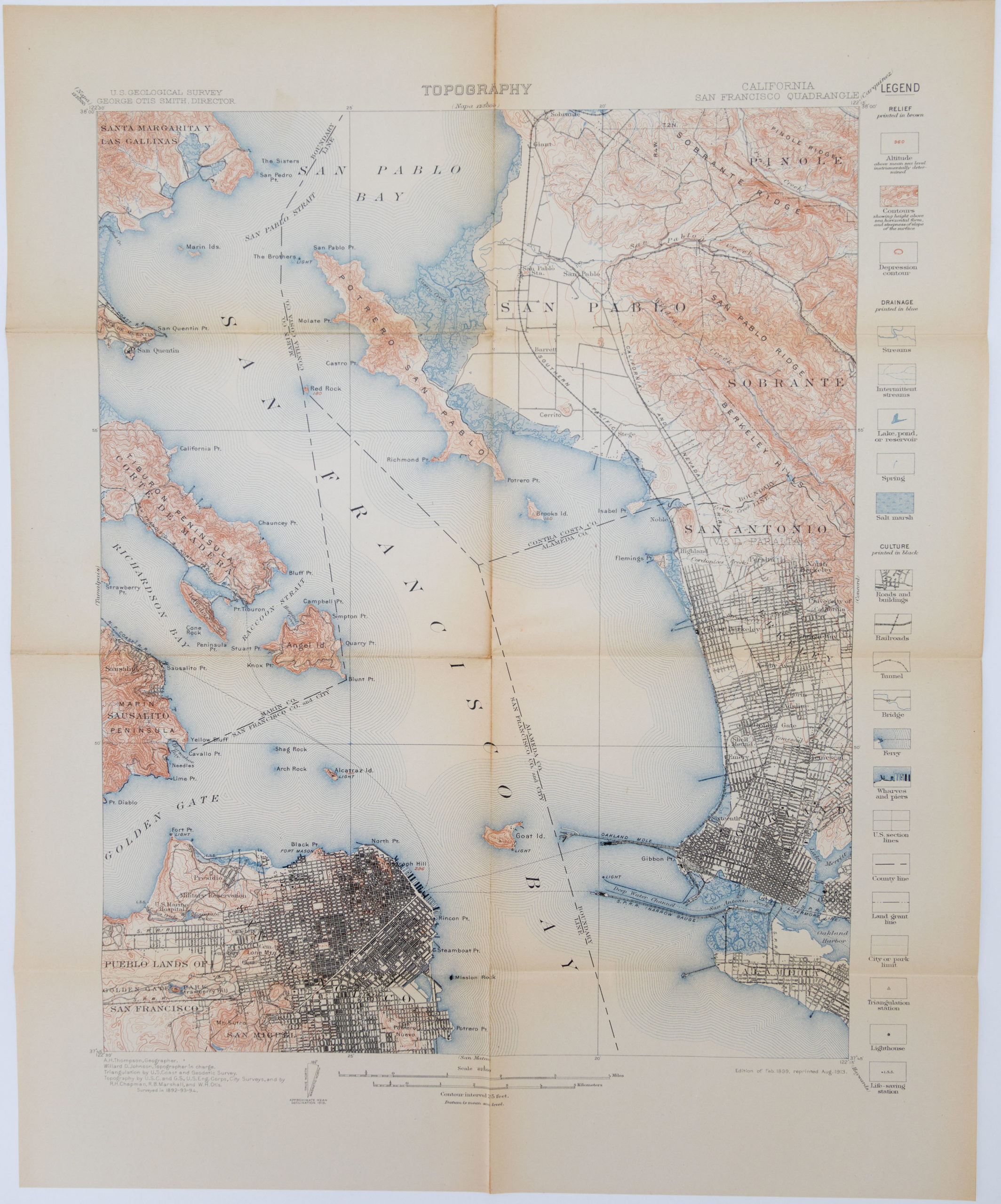
- San Francisco
San Francisco Quadrangle (Topography)
- Extensively detailed map of San Francisco and the East Bay
- Read moreQuick View
-
- Out of Stock
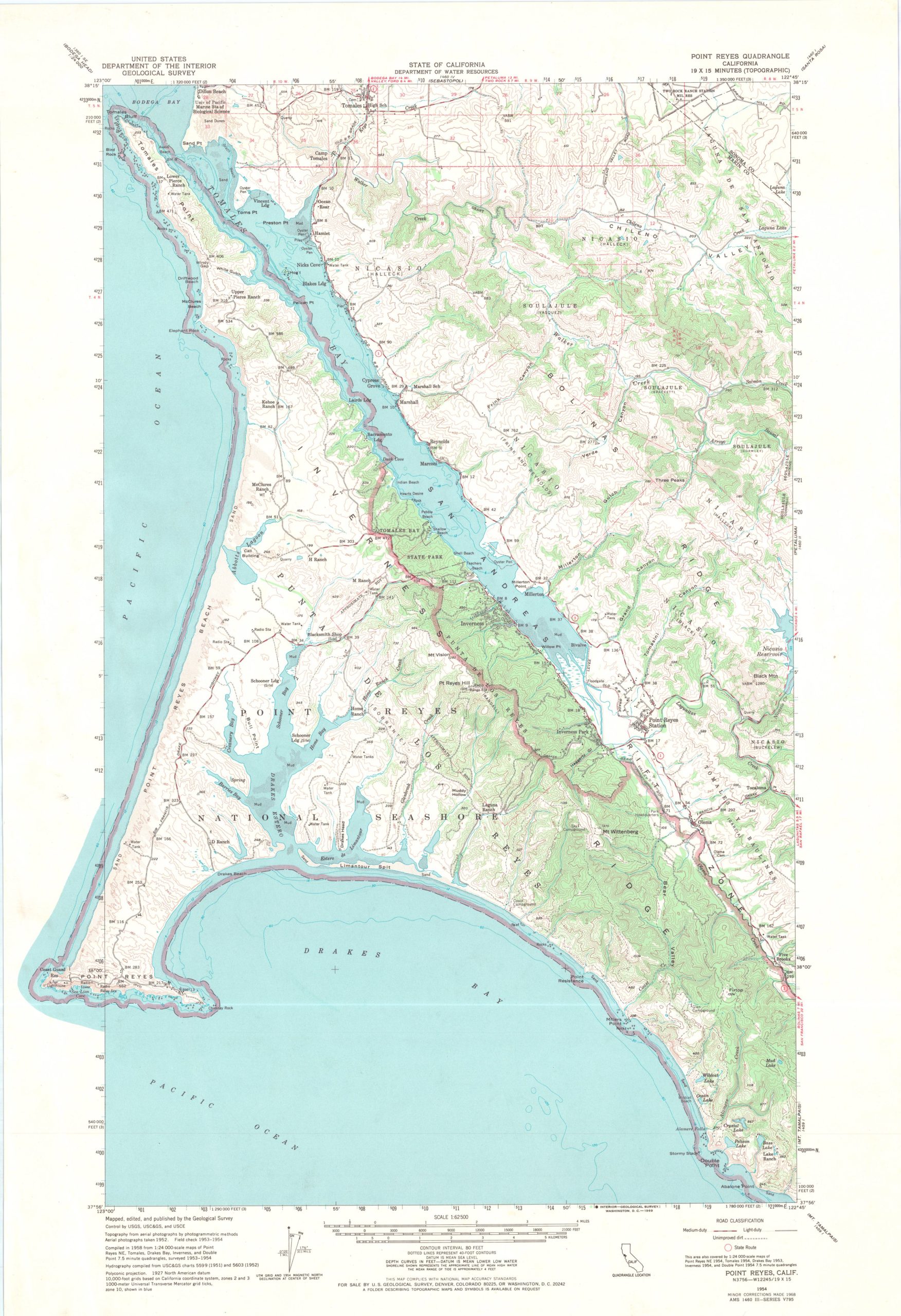
- Marin, Sonoma, & Napa Valley
Point Reyes Quadrangle (19 x 15 mintues map)
- 1969 topographic map of West Marin
- Read moreQuick View
-

