-
-
Add to cartQuick View
- Featured Maps & Views, Middle East - Holy Land Maps, Arabia and the Red Sea
[Arabian Peninsula] Tabula Sexta de Asia.
- $75,000
- A first state of Francesco Berlinghieri's map of Arabia, showing the Holy Cities of Mecca and Medina and the first depictions of Qatar and the United Arab Emirates.
-
Add to cart
-
-
Add to cartQuick View
- San Francisco
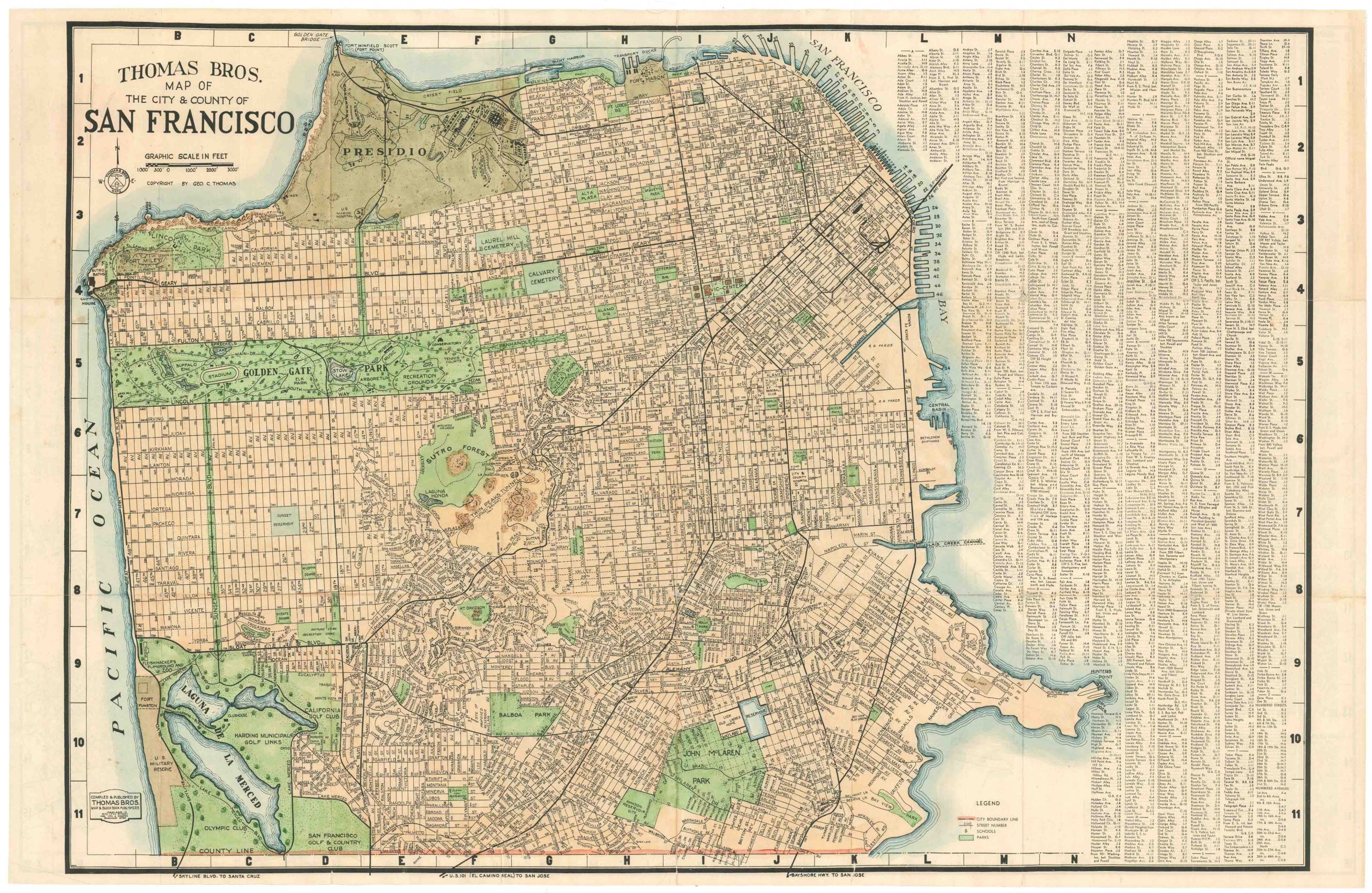
Thomas Bros Map of the City and County of San Francisco.
- $575
- Large and attractive 1938 Thomas Brothers map of San Francisco.
-
Add to cart
-
-
Add to cartQuick View
- California
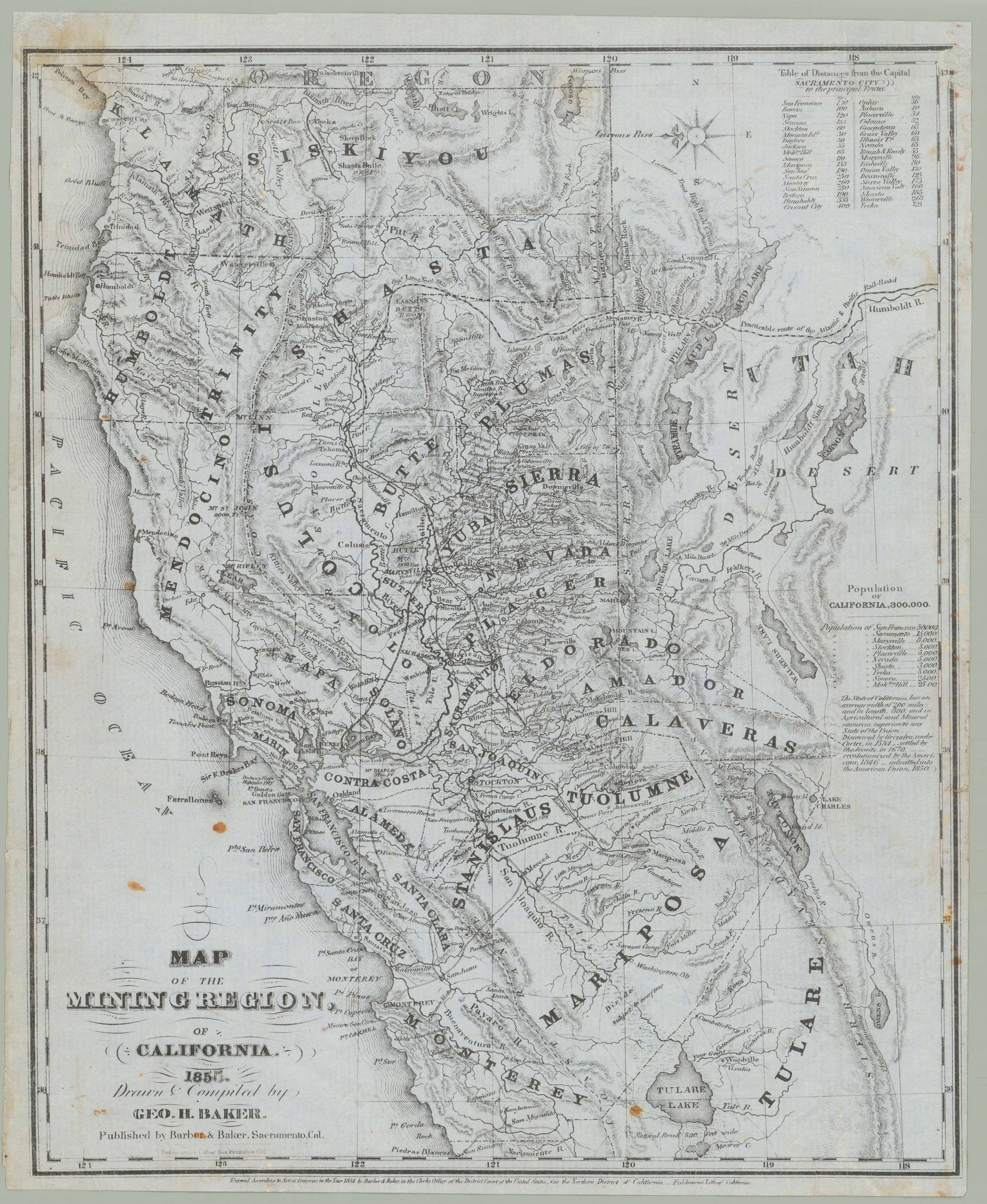
Map of the Mining Region of California 1855. Drawn and Compiled by Geo. H. Baker
- $8,500
- George Holbrook Baker’s 1855 letter sheet mining map of northern California.
-
Add to cart
-
-
Add to cartQuick View
- Pacific Northwest - Hawaii - Alaska
Mount St. Helen’s Quadrangle (7.5 Minute Series)
- $575
- Washington’s dramatic volcanic peak, taken a few years before the catastrophic 1980 eruption.
-
Add to cart
-
-
Add to cartQuick View
- Europe, Featured Maps & Views, Italy, Michael's Collection
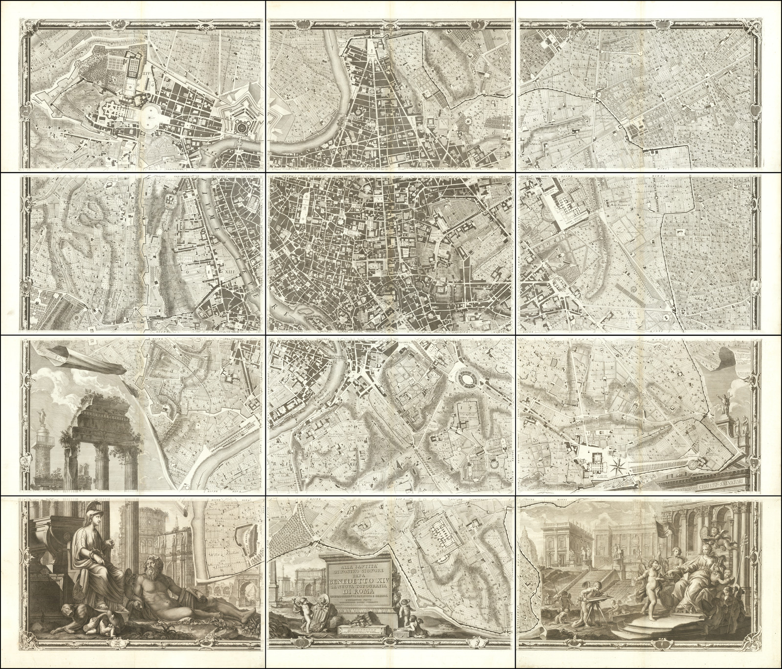
Alla Santità di Nostro Signore Papa Benedetto XIV La Nuova Topografia di Roma…
- $35,000
- The famous Nolli wall map of Rome: one of the finest urban plans ever made.
-
Add to cart
-
-
Add to cartQuick View
- East & Midwest United States, Texas and The West
Carte Générale des Etats-Unis, des Haut et Bas-Canada, de la Nouvelle Ecosse, du Nouvelle Brunswick, de Terre Neuve.
- $875
- Brué’s important map of the United States prior to the Mexican-American War, with an overtly independent Texas.
-
Add to cart
-
-
Add to cartQuick View
- California, San Francisco
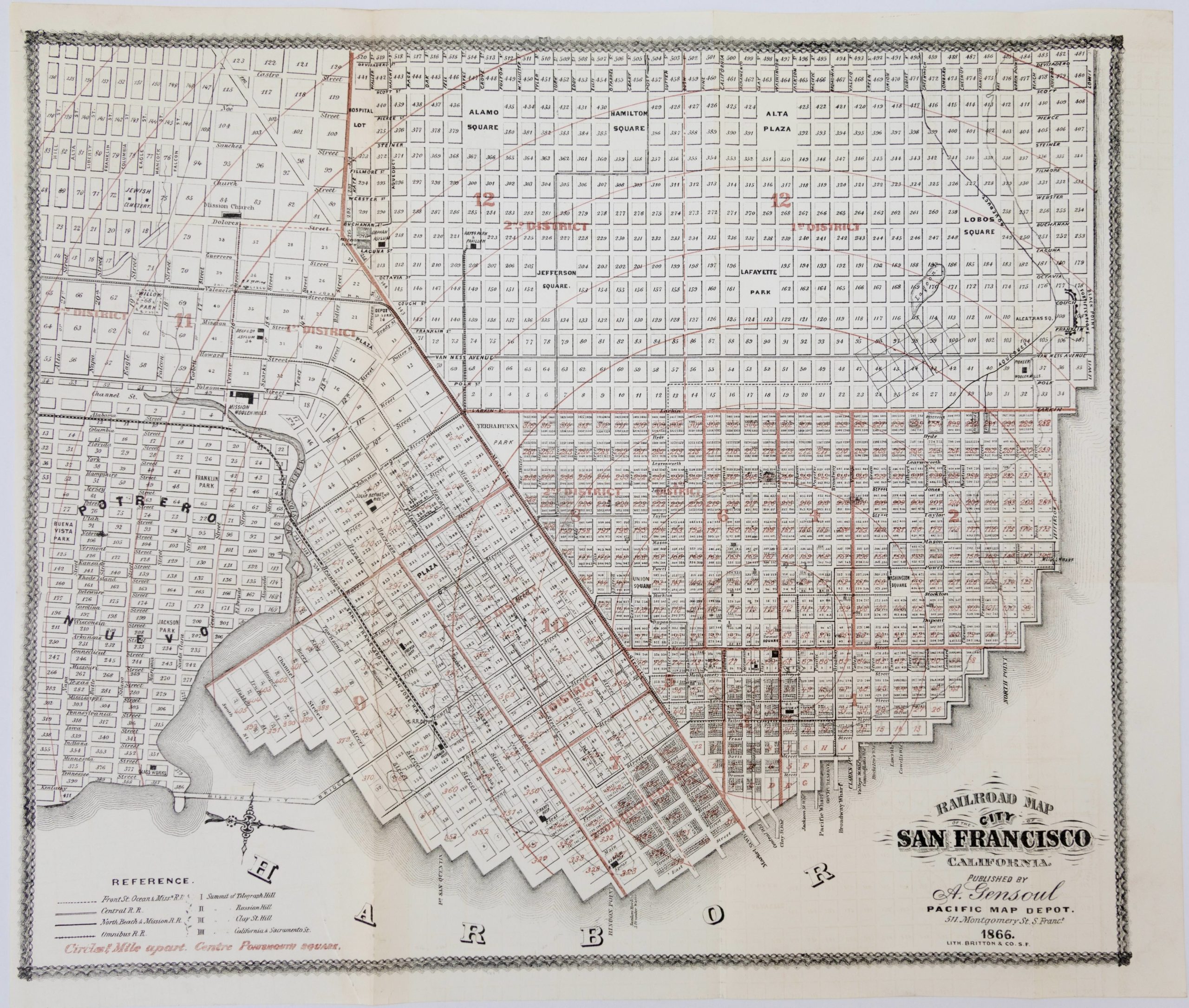
Railroad Map of the City of San Francisco California
- $650
- Documenting a rapidly expanding city: 1866 map of San Francisco.
-
Add to cart
-
-
Add to cartQuick View
- Bay Area & Silicon Valley, Bird's-eye-views, California, Pictorial maps
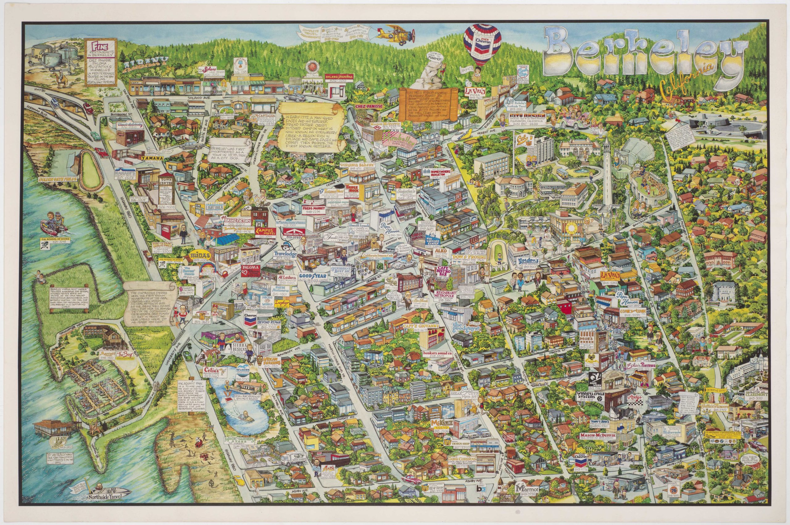
Berkeley California.
- $750
- Rich pictorial bird's-eye-view of Berkeley, including the University of California.
-
Add to cart
-
-
Add to cartQuick View
- Bird's-eye-views, California, San Francisco
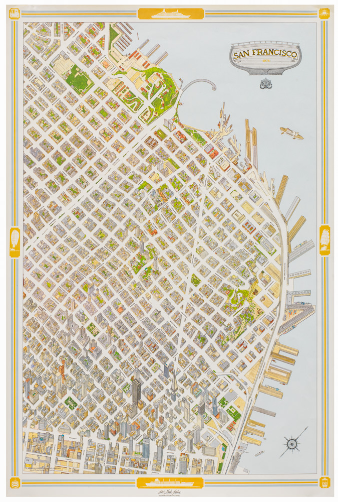
San Francisco.
- $950
- Special 1974 pictorial map of San Francisco issued by the Mark Hopkins Hotel.
-
Add to cart
-
-
Add to cartQuick View
- Asia, Southeast Asia & Australia
Descripcion De Las Indias Del Poniente.
- $6,500
- The first Spanish Map of the Philippines and Spice Islands.
-
Add to cart
-
-
Add to cartQuick View
- Michael's Collection, Featured Maps & Views, United States, East & Midwest United States, Bird's-eye-views
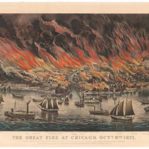
The Great Fire at Chicago. Octr. 8th 1871.
- $9,500
- Currier & Ives 1871 Great Chicago Fire.
-
Add to cart
-
-
Add to cartQuick View
- Bird's-eye-views, California, San Francisco
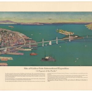
Site of Golden Gate-International Exposition: “A pageant of the Pacific”
- $875
- A masterfully-composed 1939 color panorama of San Francisco and its newly built bridges.
-
Add to cart
![[Arabian Peninsula] Tabula Sexta de Asia.](https://neatlinemaps.com/wp-content/uploads/2024/03/NL-02008-NEW_thumbnail-300x300.jpg)
