-
- Add to cart
- Americas, Canada and The Great Lakes
Carte des Lacs du Canada Dresse sur les Manuscrits du Depost des Carts, Plans et Journaux de la Marine et sur le Journal de RP. De Charlevoix.
- $3,200
- A cornerstone map for the cartography of the Great Lakes.
-
- Add to cart
- Canada and The Great Lakes
Partie Occidentale Du Canada et Septentrionale De La Louisiane Avec Une Partie De La Pensilvanie Par Le Sr. D’Anville…1775
- $550
- One of the few Great Lakes maps published at the brink of the American Revolution.
-
- Add to cart
- Americas, Atlases & Books, Canada and The Great Lakes, North America
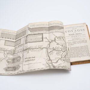
New Voyages to North-America. Containing an Account of the Several Nations of That Vast Continent…
- $10,500
- First English edition of Lahontan's description and mapping of New France, which propagated the myth of the Northwest Passage.
-
- Add to cart
- Americas, Canada and The Great Lakes
Carte du Canada qui comprend la partie septentrionale des Etats Unis d’Amérique.
- $1,200
- De l’Isle’s seminal rendition of Canada in the desirable Post-Revolution state!
-
- Add to cart
- United States, Americas, Canada and The Great Lakes, Mexico - Central & South America, Curiosities - Miscellanea
[Vietnamese Maps of North America: Mexico, Canada, USA]
- $675
- Three curious maps of North America made in South Vietnam.
-
- Add to cart
- Americas, Canada and The Great Lakes
Map of the City of Ottawa, Published by A.S. Woodburn. Ottawa.
- $4,800
- A.S. Woodburn’s rare 1885 map of Ottawa: one of the earliest acquirable large-scale city plans of Canada’s national capital.