-
-
Add to cart
 Quick View
 - East & Midwest United States, United States
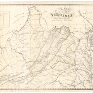
A Map of the Rail Roads of Virginia Prepared Under the Direction of the Board of Public Works.
- $4,800
- Rare Pre-Civil War Virginia Railroad Map Printed in Richmond, 1858.
-
-
-
-
Add to cart
 Quick View
 - East & Midwest United States, United States
Gettysburg. Repulse of Longstreet’s Assault.
- $900
- Bachelder’s magnificent rendering of Longstreet’s Assault (Pickett's Charge).
-
-
-
-
Add to cart
 Quick View
 - East & Midwest United States, Featured Maps & Views, United States
Gettysburg Battle-Field.
- $2,400
- Bachelder's iconic 1863 view of the Battle of Gettysburg.
-
-
-
-
Add to cart
 Quick View
 - East & Midwest United States, United States
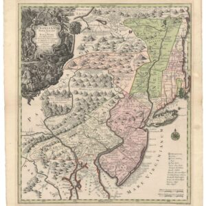
Pensylvania Nova Jersey et Nova York cum Regionibus Ad Fluvium Delaware…
- $2,900
- Seutter’s first state map of Pennsylvania, Jersey, and New York, with original color.
-
-
-
-
Add to cart
 Quick View
 - Atlases & Books, East & Midwest United States, United States
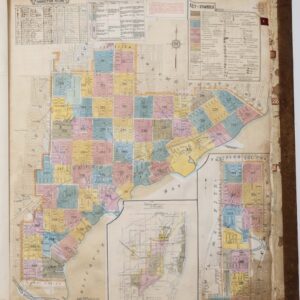
Insurance Maps of Miami, Florida Volume Three.
- $8,500
- Sanborn Fire Insurance Atlas of Miami, Florida – Volume 3: Coconut Grove & Silver Bluff.
-
-
-
-
Add to cart
![Carte De La Floride Occidentale et Louisiane…[with] La Peninnsule Et Golfe De La Floride ou Canal De Bahama Avec Les Isles De Bahama Traduit de Gefferys…1777.](https://neatlinemaps.com/wp-content/uploads/2025/01/NL-02329_thumbnail-300x300.jpg) Quick View
Quick View - East & Midwest United States
Carte De La Floride Occidentale et Louisiane…[with] La Peninnsule Et Golfe De La Floride ou Canal De Bahama Avec Les Isles De Bahama Traduit de Gefferys…1777.
- $2,800
- A scarce 1777 French map of Florida and the Gulf Coast.
-
-
-
-
Add to cart
 Quick View
 - Americas, Cuba, West Indies, Caribbean, East & Midwest United States, North America
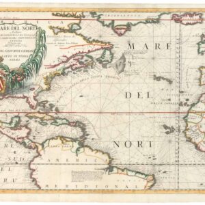
Mare del Nord.
- $2,200
- A gorgeous full-color example of Coronelli's chart of the Eastern Seaboard and North Atlantic.
-
-
-
-
Add to cart
 Quick View
 - Bird's-eye-views, East & Midwest United States, United States
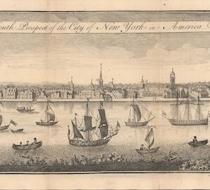
The South Prospect of the City of New York, in America.
- $5,500
- One of the Earliest Acquirable Views of New York City.
-
-
-
-
Add to cart
 Quick View
 - East & Midwest United States, Featured Maps & Views
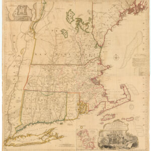
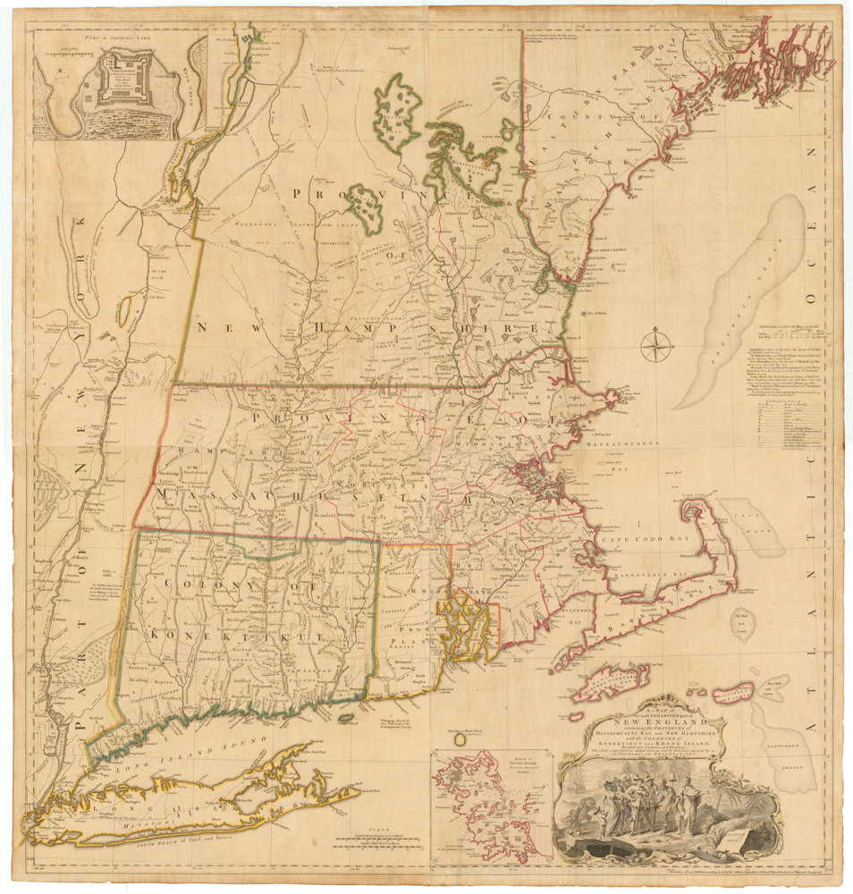
A MAP of the most INHABITED part of NEW ENGLAND, containing the PROVINCES of MASSACHUSETS BAY and NEW HAMPSHIRE, with the COLONIES of KONEKTIKUT AND RHODE ISLAND…
- $55,000
- Unobtainable first state of one of the most influential maps of New England ever made.
-
-
-
-
-
Add to cart
 Quick View
 - East & Midwest United States, Texas and The West
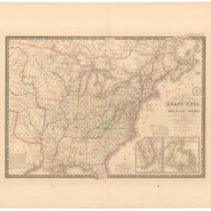
Carte Générale des Etats-Unis, des Haut et Bas-Canada, de la Nouvelle Ecosse, du Nouvelle Brunswick, de Terre Neuve.
- $875
- Brué’s important map of the United States prior to the Mexican-American War, with an overtly independent Texas.
-
-
-
-
Add to cart
 Quick View
 - United States, East & Midwest United States
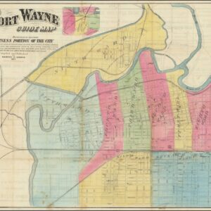
Fort Wayne Guide Map (location of First Professional Baseball Game shown).
- $6,500
- Earliest recorded printed map to locate the site of the world’s first professional baseball game.
-
-
-
-
Add to cart
 Quick View
 - Bird's-eye-views, East & Midwest United States, Featured Maps & Views, Michael's Collection, United States
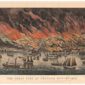
The Great Fire at Chicago. Octr. 8th 1871.
- $8,500
- Currier & Ives 1871 Great Chicago Fire.
-
-