-
-
Add to cartQuick View
- East & Midwest United States, United States
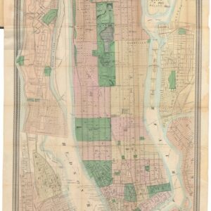
Map of New York and Vicinity.
- $1,200
- From city to metropolis: Matthew Dripps’ rare folding map of New York.
-
Add to cart
-
-
Add to cartQuick View
- East & Midwest United States
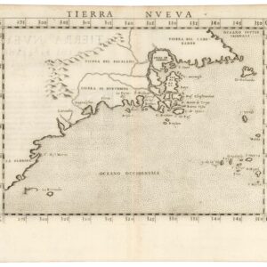
Tierra Nueva.
- $1,800
- A true first state of one of the earliest maps of the Eastern Seaboard.
-
Add to cart
-
-
Add to cartQuick View
- East & Midwest United States, United States
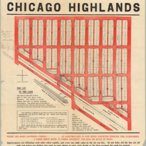
The Central Subdivision at Chicago Highlands.
- $775
- Promotional broadside for the industrial community of Chicago Highlands.
-
Add to cart
-
-
Add to cartQuick View
- United States, East & Midwest United States
[AMERICAN REVOLUTION] Boston, George Washington, Franklin, Philadelphia, Washington, D.C.
- $600
- A set of six hand-colored plates from Guilio Ferrario’s iconic encyclopedia showcasing the American Revolution.
-
Add to cart
-
-
Add to cartQuick View
- East & Midwest United States
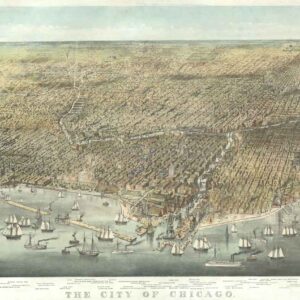
The City of Chicago.
- $6,500
- Probably the most iconic view of Chicago ever made…
-
Add to cart
-
-
Add to cartQuick View
- Curiosities - Miscellanea, East & Midwest United States
[Untitled] Portraits and facsimile signatures of 48 American patriots.
- $2,400
- A formative sheet in patriotic printing.
-
Add to cart
-
-
Add to cartQuick View
- Americas, Cuba, West Indies, Caribbean, East & Midwest United States, United States
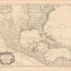
Carte Du Mexique Et Des Etats Unis d’Amerique, Partie Meridionale.
- $1,200
- An Early Mention of the United States of America.
-
Add to cart
-
-
Add to cartQuick View
- Bird's-eye-views, East & Midwest United States, Featured Maps & Views
[First State] Panorama of the Seat of the War Birds Eye View of Virginia, Maryland, Delaware and the District of Columbia
- $2,200
- Bachmann's dramatic 1861 panoramic view of the central theater of the American Civil War.
-
Add to cart
-
-
Add to cartQuick View
- East & Midwest United States
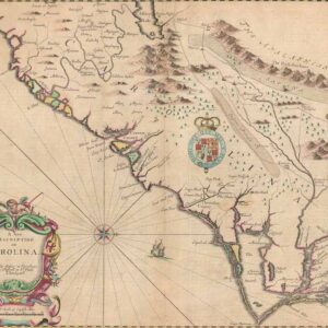
A New Description of Carolina.
- $4,000
- A beautiful example of Speed's notable mapping of the interior of Carolina.
-
Add to cart
-
-
Add to cartQuick View
- East & Midwest United States
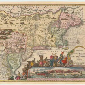
Recens Edita totius Novi Belgii, in America Septenrionali siti, delineatio cura et sumptibus
- $4,000
- The most widely emulated map of colonial North America, with one of the earliest views of New York City.
-
Add to cart
-
-
Add to cartQuick View
- East & Midwest United States
Road and Property Map showing the Towns of Stamford and Greenwich Conn. Together with Surrounding Territory Compiled from Actual Surveys, Private Plans & Official Records…
- $24,500
- The greatest and most impressive 19th-century map of Connecticut.
-
Add to cart
-
-
Add to cartQuick View
- Texas and The West, East & Midwest United States
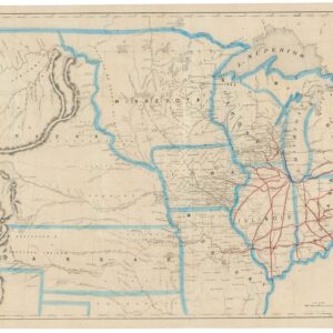
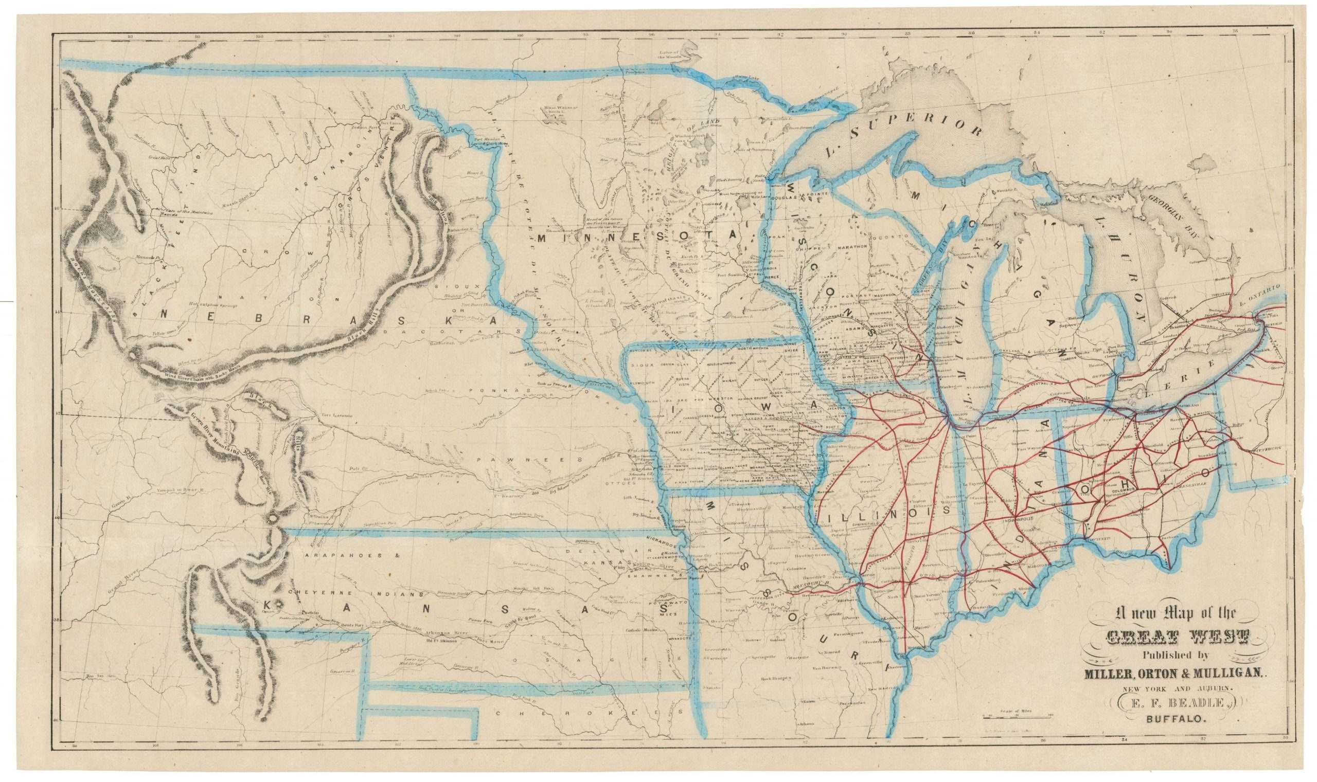
A New Map of the Great West
- $775
- From the creator of the dime-novel and the pulp fiction genre: this is Erastus Flavel Beadle’s rare and highly desirable map of the Great West.
-
Add to cart
![[AMERICAN REVOLUTION] Boston, George Washington, Franklin, Philadelphia, Washington, D.C.](https://neatlinemaps.com/wp-content/uploads/2024/05/NL-02090a_thumbnail-300x300.jpg)
![[Untitled] Portraits and facsimile signatures of 48 American patriots.](https://neatlinemaps.com/wp-content/uploads/2024/05/NL-01743_thumbnail-300x300.jpg)
![[First State] Panorama of the Seat of the War Birds Eye View of Virginia, Maryland, Delaware and the District of Columbia](https://neatlinemaps.com/wp-content/uploads/2024/05/NL-00664-scaled-1-300x300.jpg)
![[First State] Panorama of the Seat of the War Birds Eye View of Virginia, Maryland, Delaware and the District of Columbia](https://neatlinemaps.com/wp-content/uploads/2024/05/NL-00664-scaled-1.jpg)
