-
-
Add to cartQuick View
- East & Midwest United States
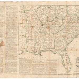
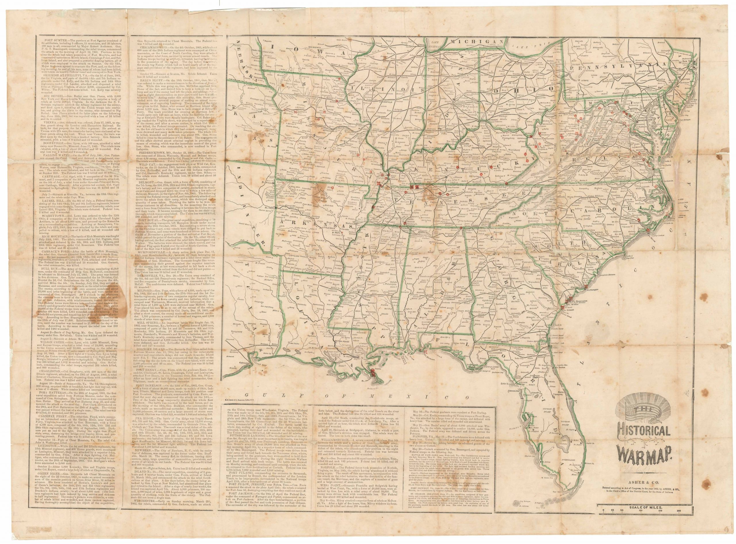
The Historical War Map.
- $975
- Printed broadside that provided the American public with a comprehensive overview of the Civil War, with an extensive narrative on the war’s progress.
-
Add to cart
-
-
Add to cartQuick View
- East & Midwest United States
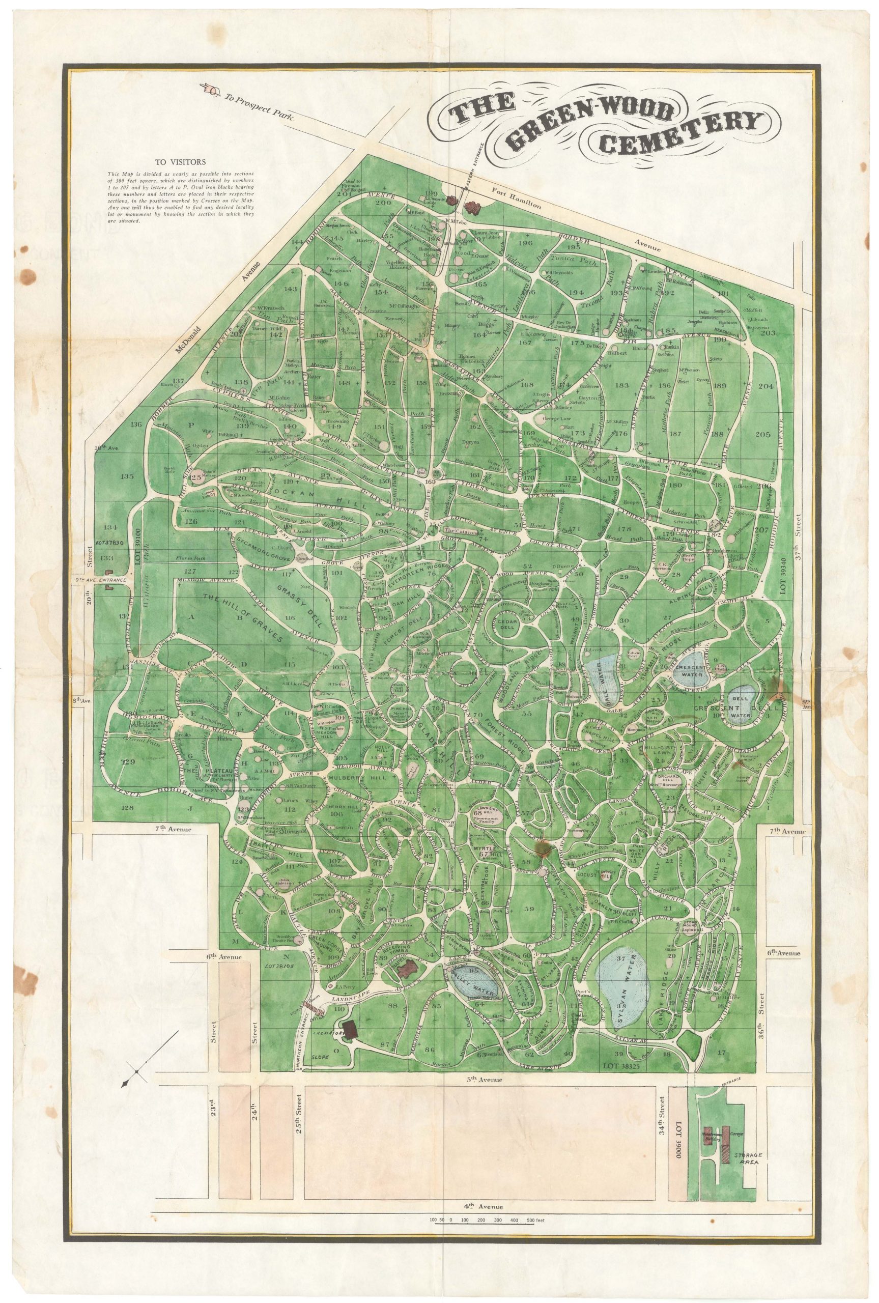
The Green-Wood Cemetery
- $550
- A hand-colored lithographed map of a well-known Brooklyn landmark.
-
Add to cart
-
-
Add to cartQuick View
- East & Midwest United States
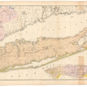
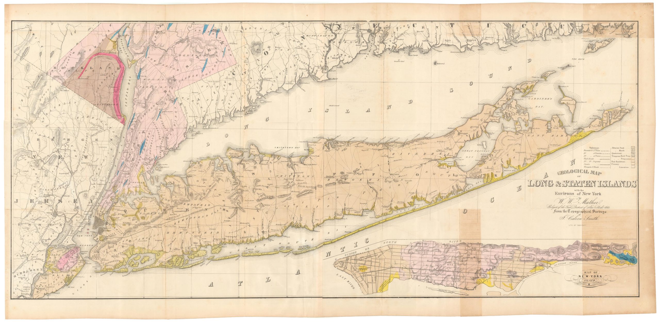
Geological map of Long & Staten islands with the environs of New York
- $1,700
- The first systematic mapping of the geology of Long Island.
-
Add to cart
-
-
Add to cartQuick View
- Texas and The West, East & Midwest United States
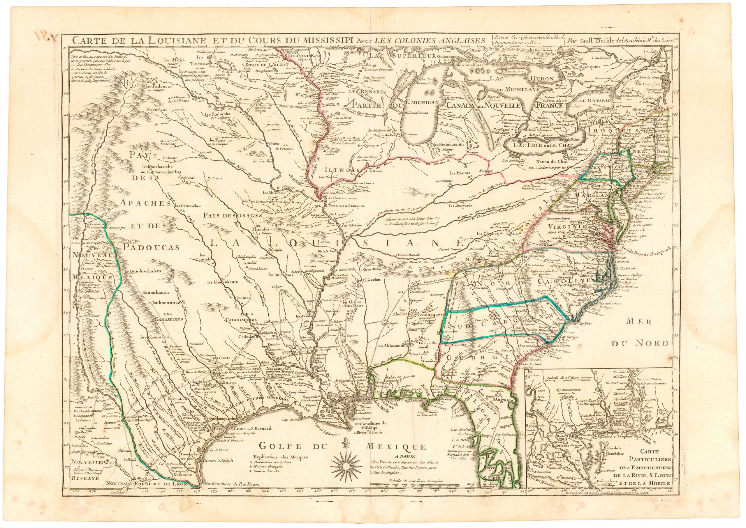
Carte De La Louisiane Et Du Cours Du Mississipi Avec Les Colonies Anglaises.
- $1,200
- Dezauche's 1782 map of colonial America: a map that blends Delisle's celebrated achievements with new features for the Revolutionary War.
-
Add to cart
-
-
Add to cartQuick View
- East & Midwest United States, Americas, Cuba, West Indies, Caribbean
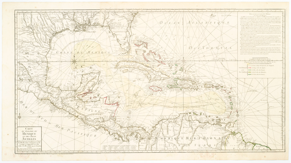
Carte Du Golphe Du Mexique Et Des Isles Antilles Reduite de la grande carte Angloise de Popple, Par PH. Buache…1780.
- $900
- Dezauche's exquisite chart of the Gulf Coast, Florida, and Caribbean Archipelago depicts a French Colonial Empire that is slowly falling apart.
-
Add to cart
-
-
Add to cartQuick View
- East & Midwest United States
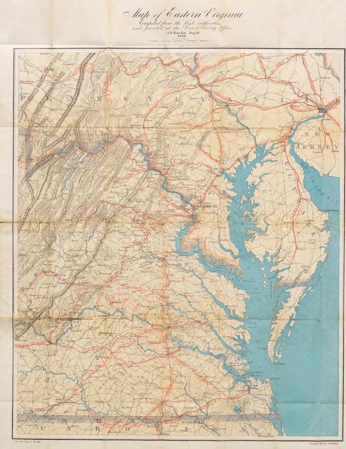
Map of Eastern Virginia Compiled from the best authorities and printed at the Coast Survey Office, A.D. Bache, Supdt. 1862.
- $1,700
- Alexander Bache’s Map of Eastern Virginia: a Union map of Washington’s Confederate backyard.
-
Add to cart
-
-
Add to cartQuick View
- East & Midwest United States
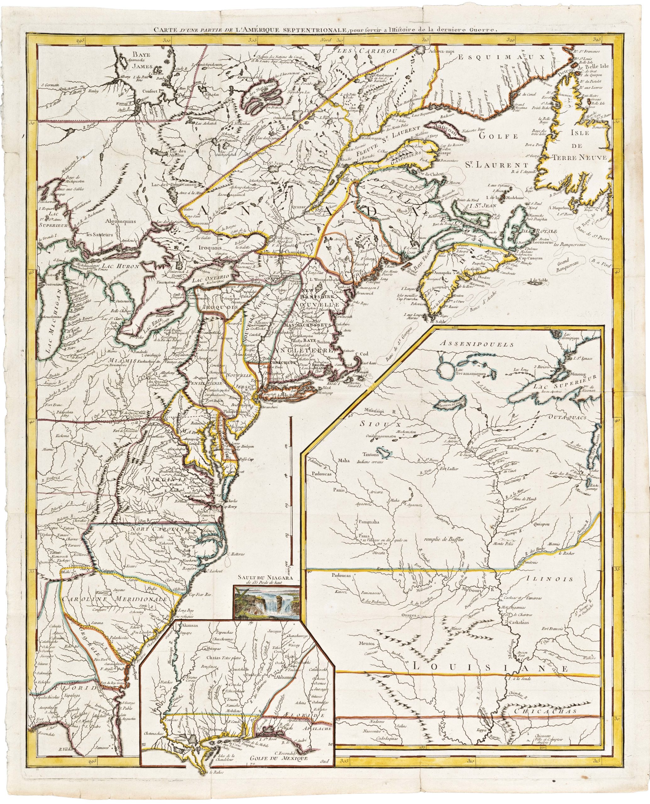
Carte D’Une Partie De L’Amerique Septentrionale, pour servir a l’Histoire derniere Guerre
- $1,400
- Mapping post-independence America: 1787 Le Rouge map of the East Coast and the Mississippi Valley.
-
Add to cart
-
-
Add to cartQuick View
- United States, East & Midwest United States
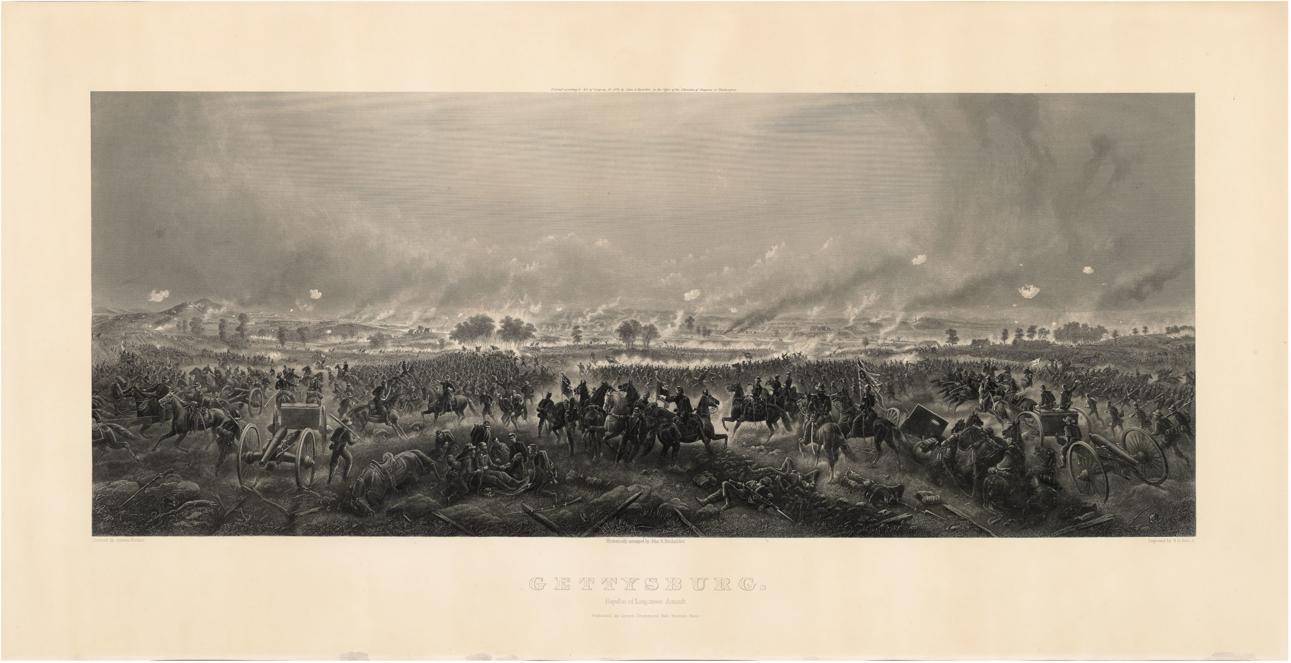
Gettysburg. Repulse of Longstreet’s Assault.
- $1,900
- Bachelder’s magnificent rendering of Longstreet’s Assault (Pickett's Charge).
-
Add to cart
