-
-
Add to cart
 Quick View
 - Americas, Cuba, West Indies, Caribbean, East & Midwest United States
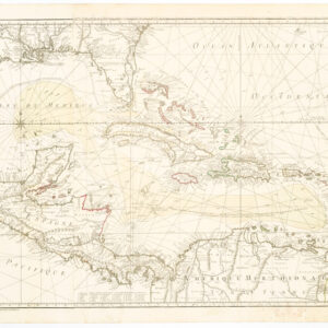
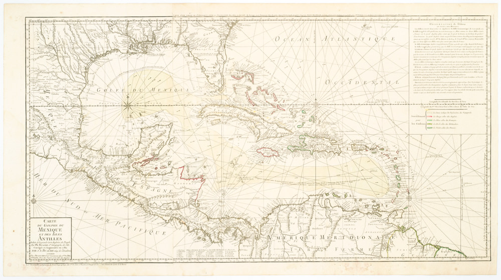
Carte Du Golphe Du Mexique Et Des Isles Antilles Reduite de la grande carte Angloise de Popple, Par PH. Buache…1780.
- $900
- Dezauche's exquisite chart of the Gulf Coast, Florida, and Caribbean Archipelago depicts a French Colonial Empire that is slowly falling apart.
-
-
-
-
-
Add to cart
 Quick View
 - Texas and The West
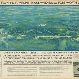
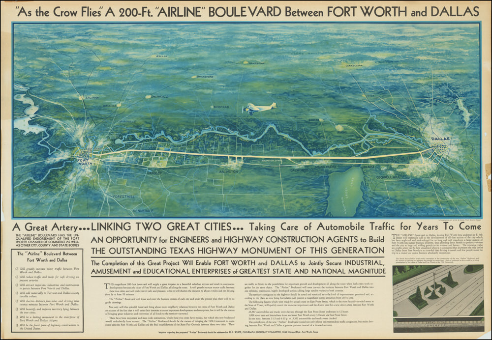
“As the Crow Flies” A 200-Ft. “Airline” Boulevard Between Fort Worth and Dallas
- $2,900
- A highly artistic broadside for the visionary Dallas-Fort Worth Airline Boulevard: a Depression-era infrastructure project designed to bridge and unite two Texas cities.
-
-
-
-
-
Add to cart
 Quick View
 - East & Midwest United States
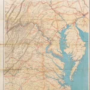
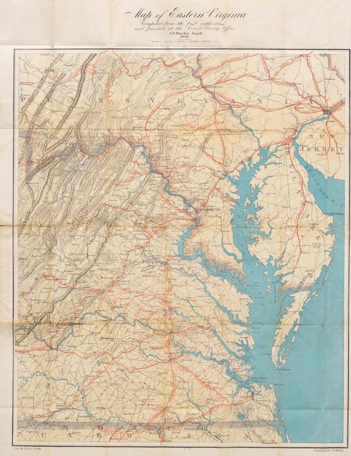
Map of Eastern Virginia Compiled from the best authorities and printed at the Coast Survey Office, A.D. Bache, Supdt. 1862.
- $1,700
- Alexander Bache’s Map of Eastern Virginia: a Union map of Washington’s Confederate backyard.
-
-
-
-
-
Add to cart
 Quick View
 - East & Midwest United States
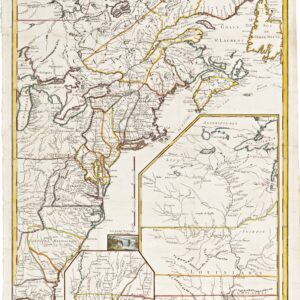
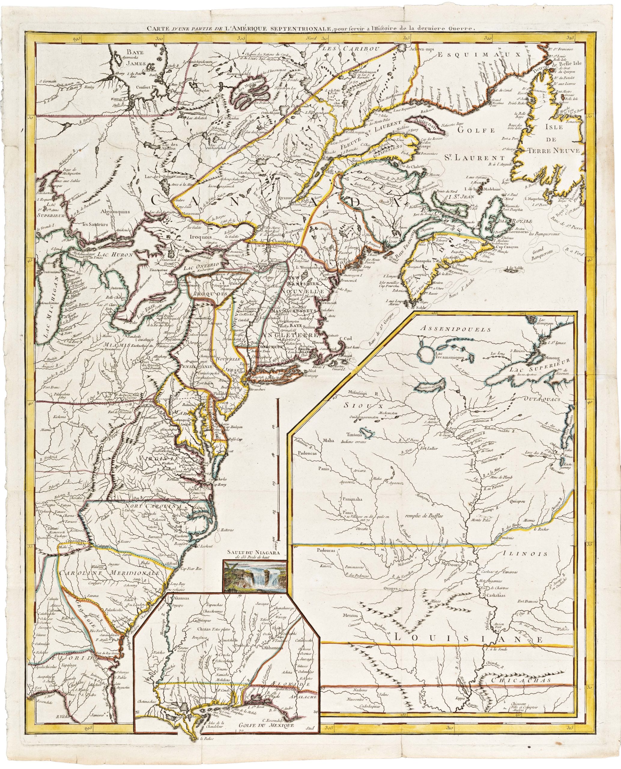
Carte D’Une Partie De L’Amerique Septentrionale, pour servir a l’Histoire derniere Guerre
- $1,400
- Mapping post-independence America: 1787 Le Rouge map of the East Coast and the Mississippi Valley.
-
-
-
-
-
Add to cart
 Quick View
 - Pictorial maps, United States, World War I and World War II
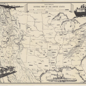
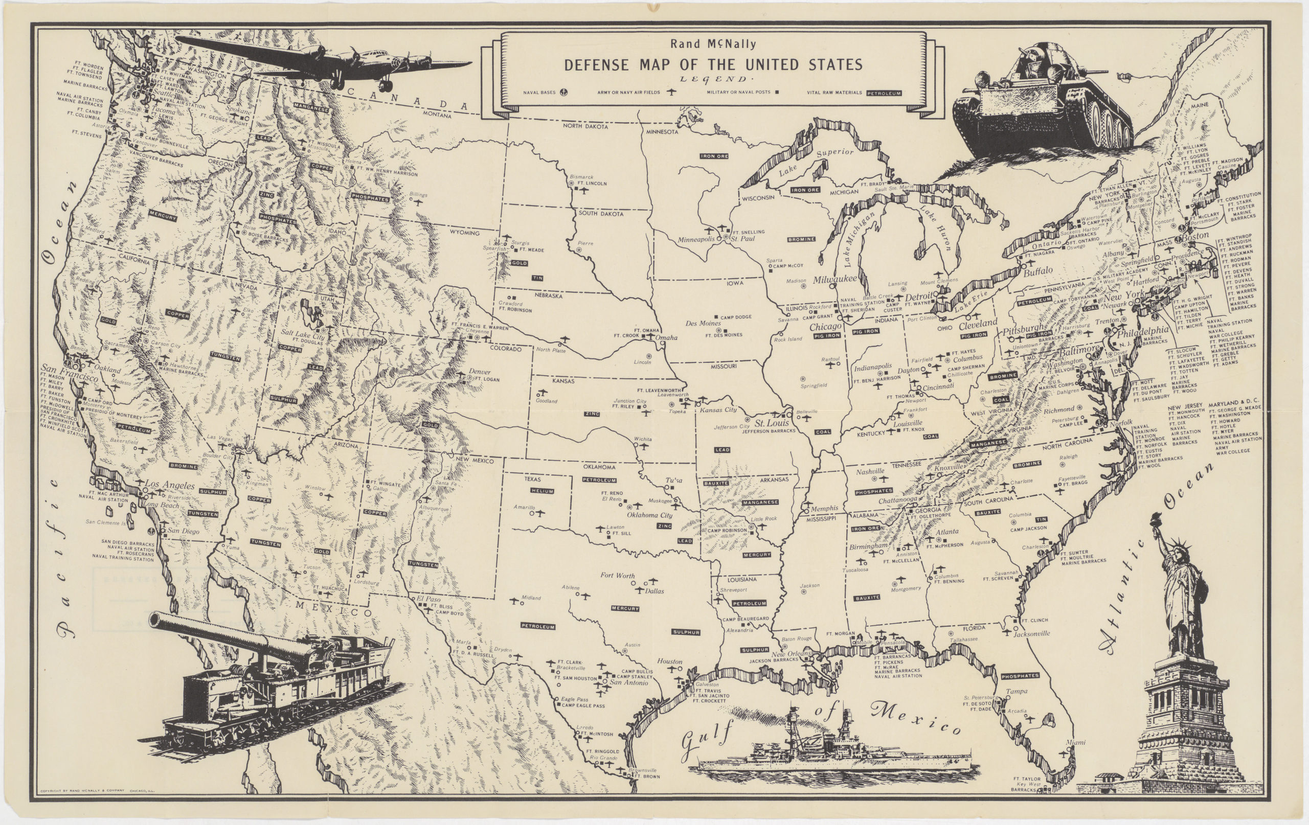
Rand McNally Defense Map of the United States
- $650
- Fascinating World War II era map of U.S. military bases and vital raw materials.
-
-
-
-
-
Add to cart
 Quick View
 - Texas and The West
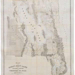
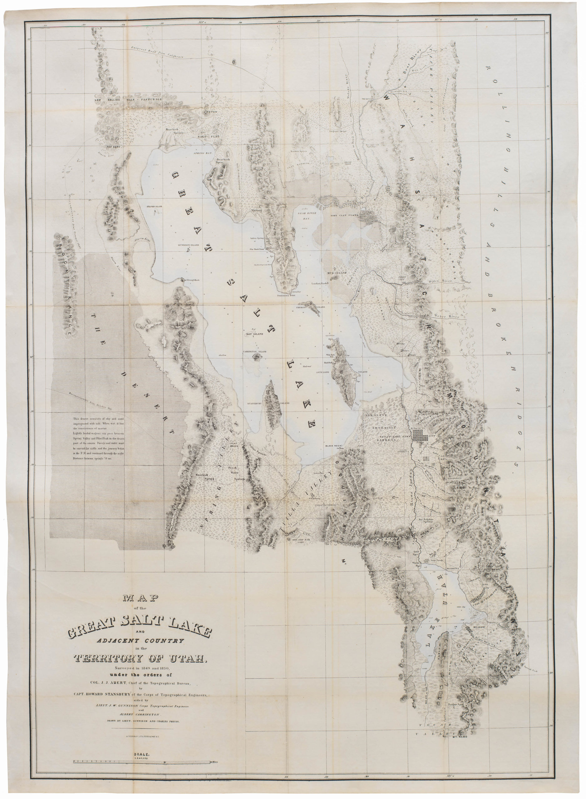
Map of the Great Salt Lake And Adjacent Country in the Territory Of Utah. Surveyed in 1849 and 1850…
- $850
- "Scientific cartography of the Territory of Utah may be said to date from the appearance of this map." - Wheat
-
-
-
-
-
Add to cart

 Quick View
 - California, Pacific Northwest - Hawaii - Alaska
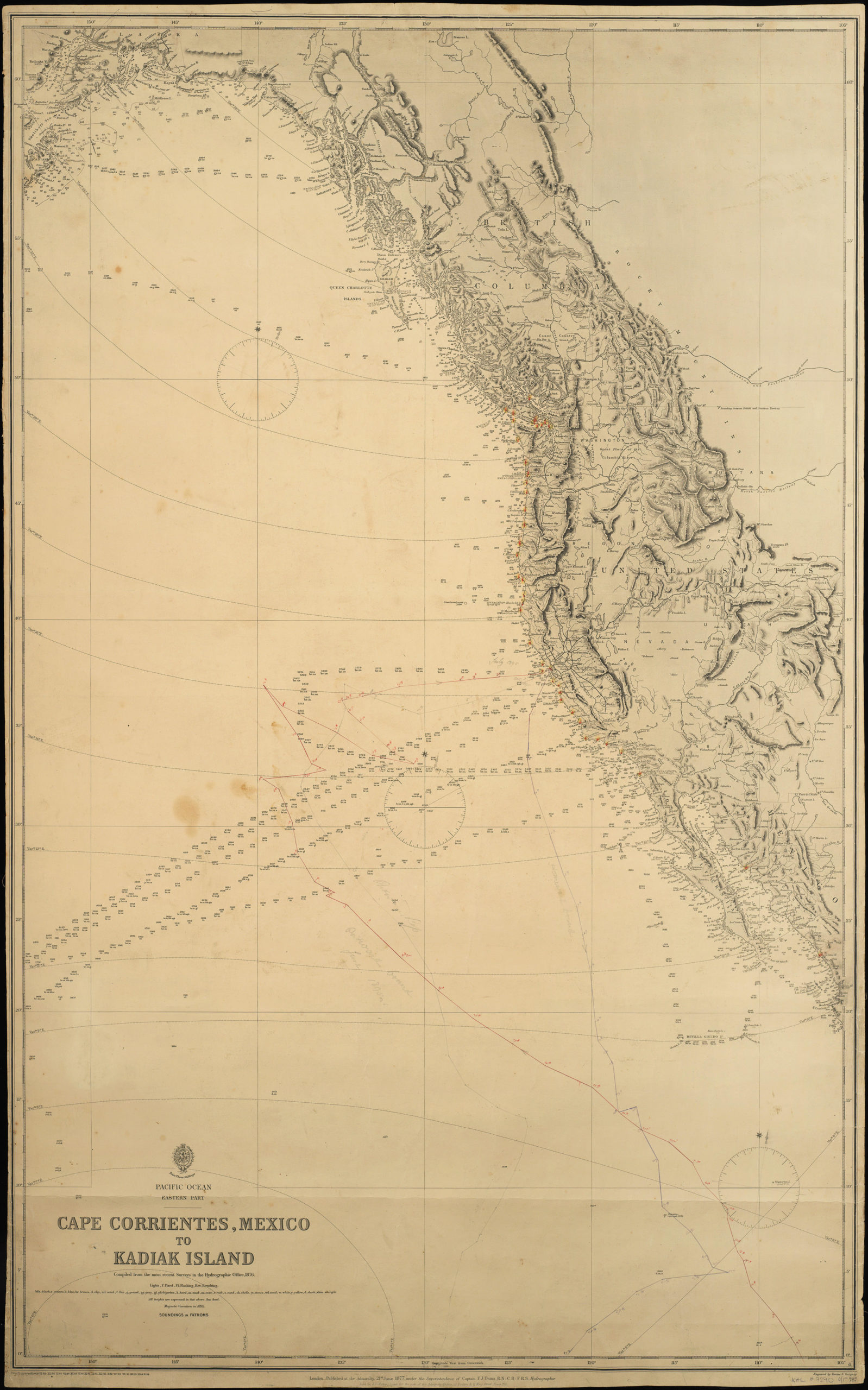
Pacific Ocean. Eastern Part. Cape Corrientes, Mexico to Kadiak Island. Compiled from the most recent Surveys in the Hydrographical Office. 1876. London, 21 June 1877
- $900
- Large, detailed sea chart of the West Coast of North America with added notations and sighting information.
-
-
-