-
-
Add to cartQuick View
- World
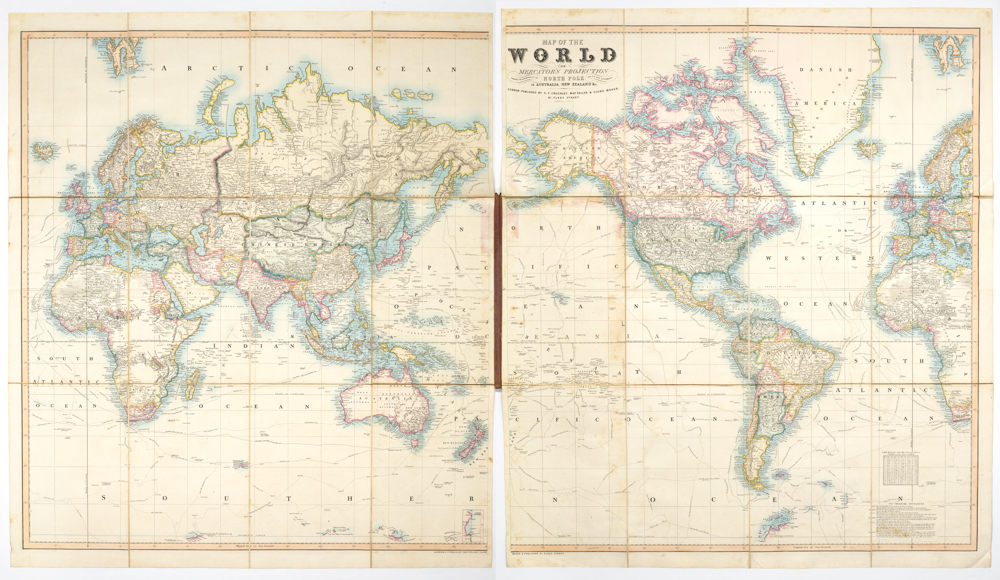
Map of the World on Mercator’s Projection showing the Discoveries at the North Pole and the New Settlements in Australia and New Zealand &c. additions to 1855
- $3,800
- Cruchley's 1855 map of the world in original boards and marbled backing -- a distinctive addition to any world map collection.
-
Add to cart
-
-
Add to cartQuick View
- California, Texas and The West
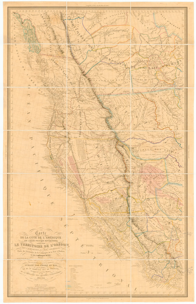
Carte de la Cote de L’Amérique sur l’Océan Pacifique Septentrional le Territoire de l’Orégon, les Californies, la Mer Vermeille, Partie des Territoires de la Compagnie de la Baie d’Hudson, et de l’Amérique Russe.
- $15,000
- Landmark map of the American West by Duflot de Mofras, with period annotations.
-
Add to cart
-
-
Add to cartQuick View
- Asia, Southeast Asia & Australia
The British Colonies of Australia, New Zealand and Tasmania Shewing the Latest Discoveries and Travellers Routes.
- $2,800
- Britain’s Austral Colonies in the Victorian Era.
-
Add to cart
-
-
Add to cartQuick View
-
Add to cart
-
-
Add to cartQuick View
- Africa, Arabia and the Red Sea
[With Extensive Contemporary Annotations] Ordnance Survey of the Peninsula of Sinai Made in 1868-9 By Captains C.W. Wilson, and H.S. Palmer, R.E. Under The Direction of Major-General Sir Henry James, R.E. F.R.S. &c. Director of the Ordnance Survey
- $3,500
- The difficult merger between religious belief and scientific thought: an annotated map of the Sinai from the height of the British Empire.
-
Add to cart
-
-
Add to cartQuick View
- Europe, Italy
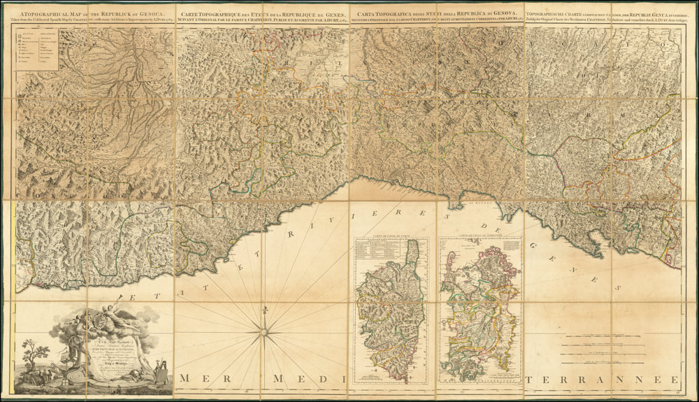
A Topographical Map of the Republick of Genoua, Taken from the Celebrated Map by Chaffrion…1764 / To the Right Honourable James Steward Mackenzie, Lord Privy Seal of Scotland, One of His Majesty’s most Honourable Privy Council, and Late His Majesty’s Envoy Extraordinary and Plenipoteniary to the King Of Sardina. This Map is most Humbly Inscribed…
- $4,400
- A spectacular and historically important 18th century wall-map of the Republic of Genoa.
-
Add to cart
-
-
Add to cartQuick View
- Eastern Mediterranean - Holy Land, Bird's-eye-views
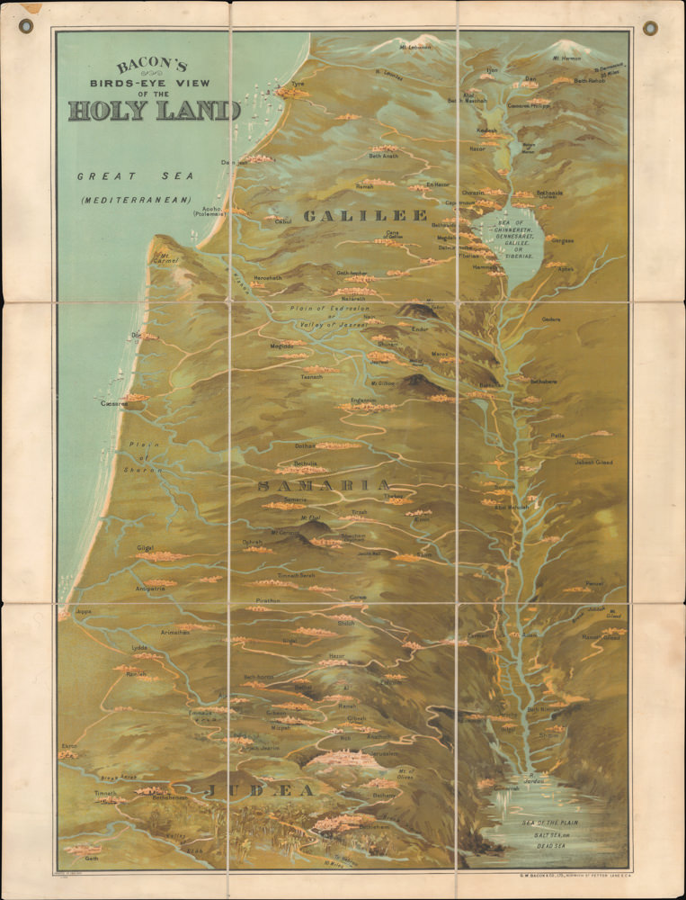
Bacon’s Bird’s-Eye View of the Holy Land
- $2,600
- George Washington Bacon’s iconic bird’s-eye-view of the Holy Land.
-
Add to cart
-
-
Add to cartQuick View
- East & Midwest United States
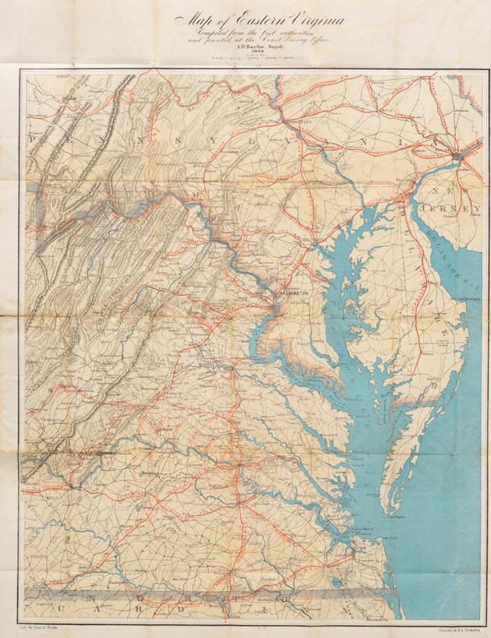
Map of Eastern Virginia Compiled from the best authorities and printed at the Coast Survey Office, A.D. Bache, Supdt. 1862.
- $1,700
- Alexander Bache’s Map of Eastern Virginia: a Union map of Washington’s Confederate backyard.
-
Add to cart
-
-
Add to cartQuick View
- Asia, Iran - Persia - Central Asia, Curiosities - Miscellanea
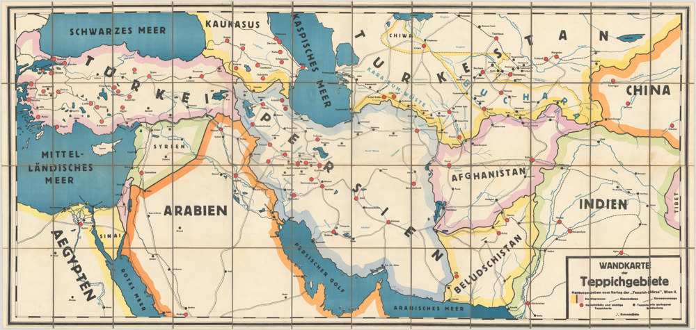
Wandkarte der Teppichgebiete
- $1,350
- A remarkable visualization of well-known carpet regions in the Middle East and Central Asia, produced at the height of the ‘Persian rug craze’.
-
Add to cart
-
-
Add to cartQuick View
- Europe, Spain & Portugal
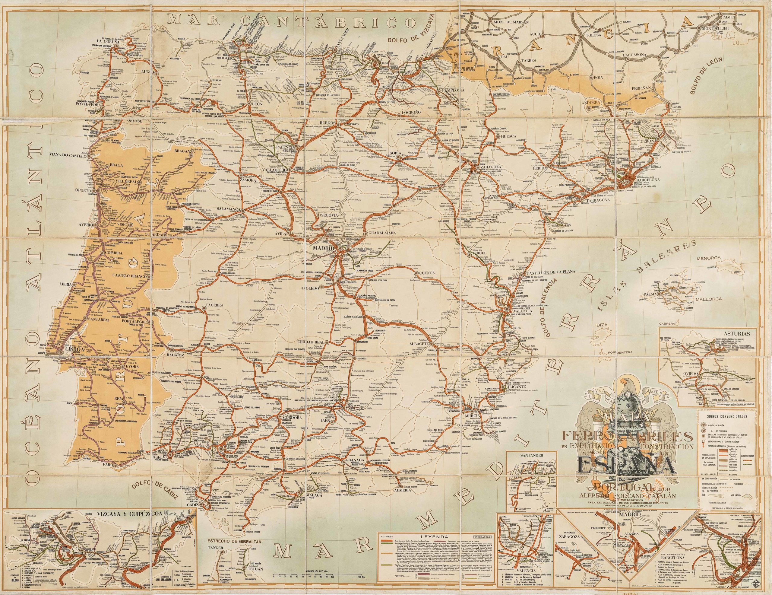
Mapa de los ferrocarriles en explotación, construcción y proyecto en España y Portugal
- $775
- Absolutely gorgeous 1956 railroad map of Spain and Portugal with Francoist coat-of-arms.
-
Add to cart
-
-
Add to cartQuick View
- Europe, France & Switzerland, Bird's-eye-views
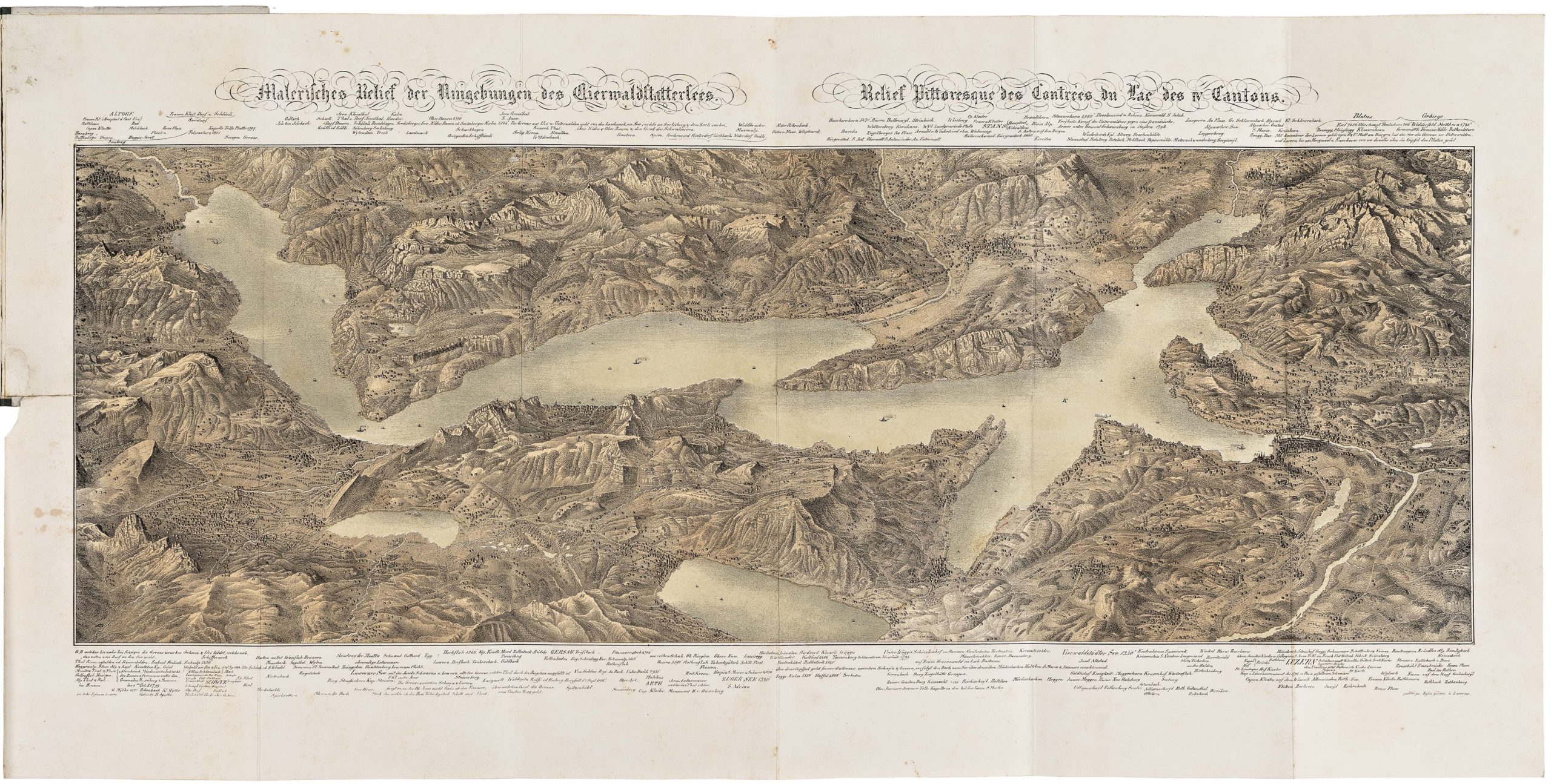
Klassischer Boden oder Malerisches Relief des Vierwaldstättersees / Plan Pittoresque du Lac des IV Cantons 1853. Lith Frères Eglin à Lucerne.
- $1,250
- Spectacular panoramic view of Lake Lucerne, with dynamic topographic relief and pictorial cities and towns.
-
Add to cart
-
-
Add to cartQuick View
- Germany & the Netherlands
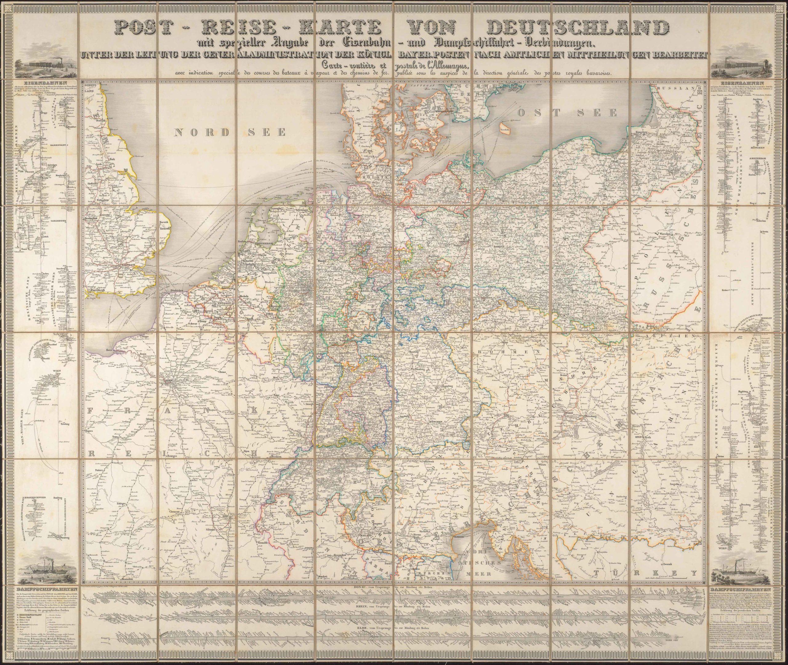
Post-Reise-Karte von Deutschland mit spezieller Angabe der Eisenbahn- und Dampfschiffahrt-Verbindungen, unter der Leitung der Generaladministration der Königl. Bayer. Posten nach amtlichen Mittheilungen bearbeitet. Carte routi’ere et postale de l’Allemagne.
- $425
- A large-format 1843 post-road and transportation map of the German Confederation.
-
Add to cart
![[With Extensive Contemporary Annotations] Ordnance Survey of the Peninsula of Sinai Made in 1868-9 By Captains C.W. Wilson, and H.S. Palmer, R.E. Under The Direction of Major-General Sir Henry James, R.E. F.R.S. &c. Director of the Ordnance Survey](https://neatlinemaps.com/wp-content/uploads/2020/05/NL-00842_Thumbnail-300x300.jpg)
![[With Extensive Contemporary Annotations] Ordnance Survey of the Peninsula of Sinai Made in 1868-9 By Captains C.W. Wilson, and H.S. Palmer, R.E. Under The Direction of Major-General Sir Henry James, R.E. F.R.S. &c. Director of the Ordnance Survey](https://neatlinemaps.com/wp-content/uploads/2020/05/NL-00842-scaled.jpg)
![[With Extensive Contemporary Annotations] Ordnance Survey of the Peninsula of Sinai Made in 1868-9 By Captains C.W. Wilson, and H.S. Palmer, R.E. Under The Direction of Major-General Sir Henry James, R.E. F.R.S. &c. Director of the Ordnance Survey](https://neatlinemaps.com/wp-content/uploads/2020/05/NL-00842-scaled-300x300.jpg)
