-
-
Add to cart
 Quick View
- British Isles, Europe
[Land’s End and the Isles of Scilly]
- $500
- 1693 Collins Nautical Chart of the Isles of Scilly and Land's End.
-
-
-
-
Add to cart
 Quick View
- British Isles, Europe
[St George’s Channell]
- $600
- 1693 Collins Nautical Chart of the Irish Sea and St George's Channel.
-
-
-
-
Add to cart
 Quick View
- British Isles, Europe
[Fowey & Mounts Bay]
- $300
- 1693 Collins Nautical Chart of Fowey and Mounts Bay.
-
-
-
-
Add to cart
 Quick View
- Africa, Arabia and the Red Sea, Asia, India
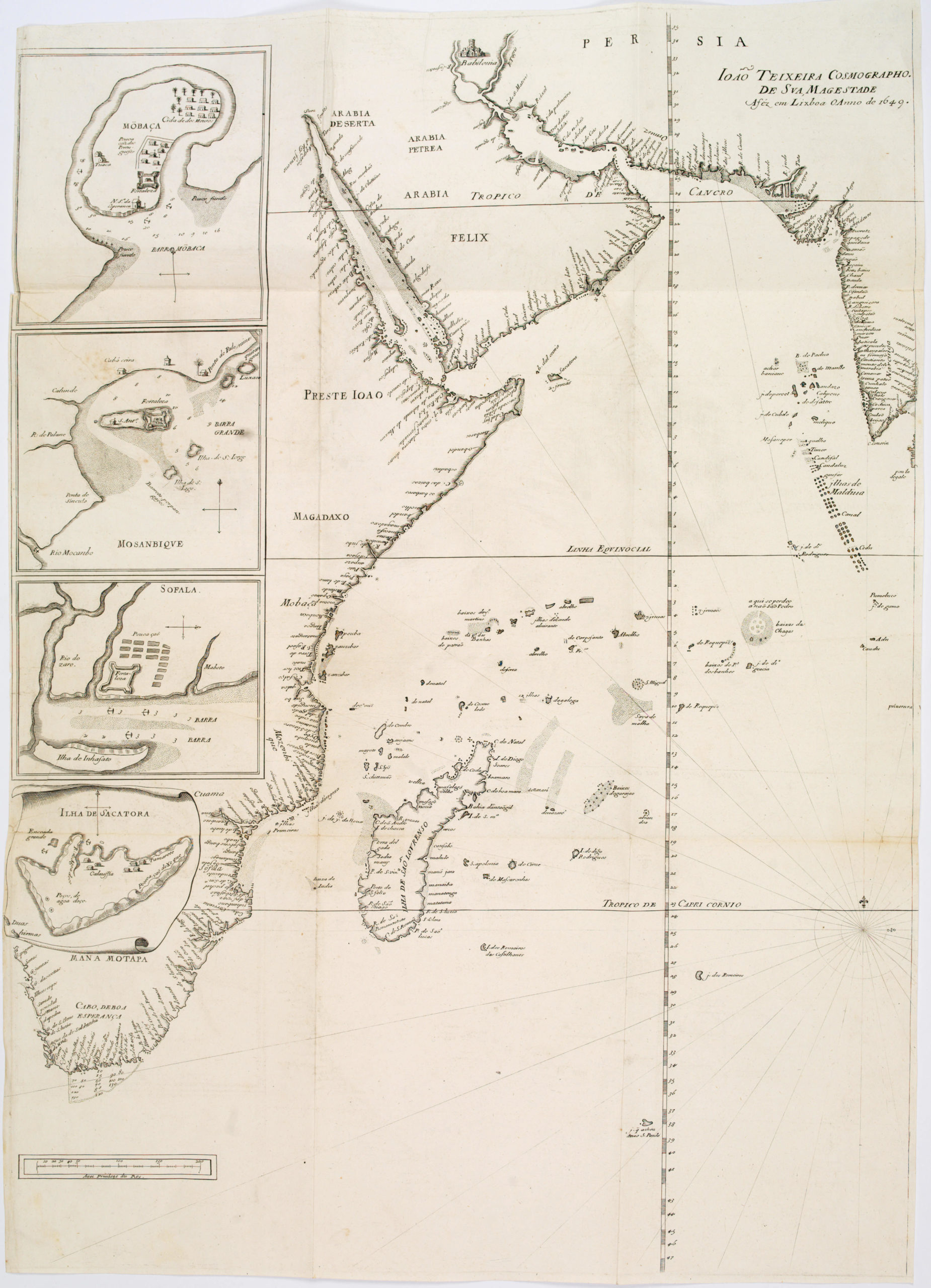
João Teixeira Cosmographo. De sua, Magestade. Aféz em Lixboa o Anno de 1649
- $4,200
- Rare 17th century portolan-style chart designed for use aboard Portuguese merchant vessels.
-
-
-
-
-
Add to cart
 Quick View
- British Isles, Europe
[The Severn or Channell of Bristoll]
- $850
- 1693 Collins Nautical Chart of Bristol Channel, with Vignette of King William III's Landing.
-
-
-
-
Add to cart
 Quick View
- Americas, Cuba, West Indies, Caribbean
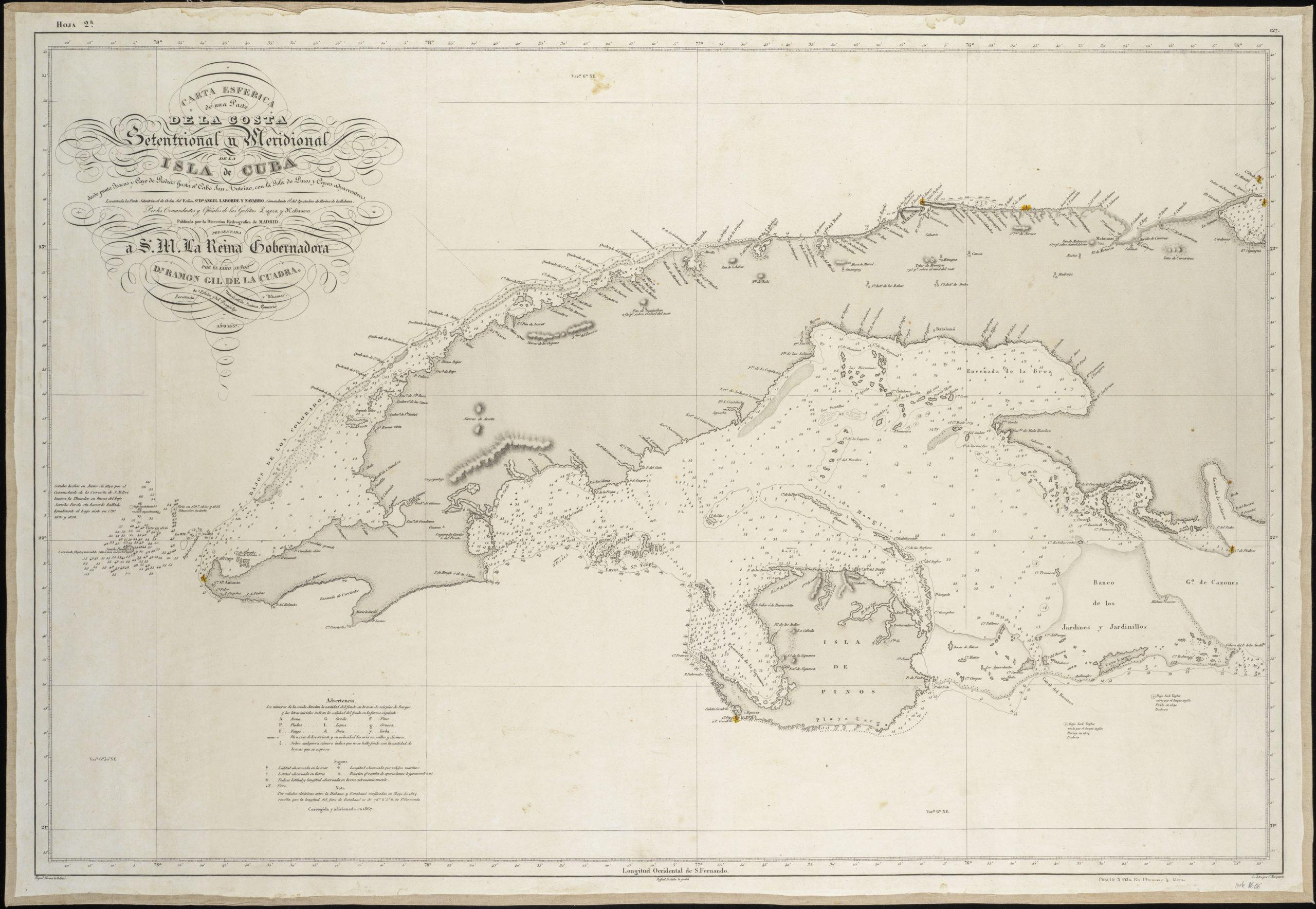
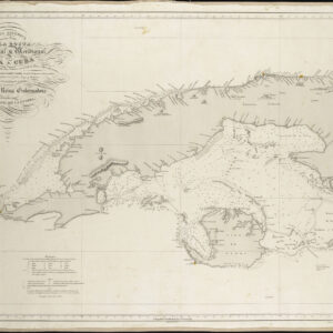
Carta Esferica De Una Parte de la Costa Setentrional y Meridional de la Isla de Cuba…
- $450
- Excellent Spanish sea chart of Western Cuba.
-
-
-
-
-
Add to cart
 Quick View
- Americas, Mexico - Central & South America
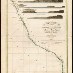
Spherical chart of part of the coast of Peru, from the Parallel of 7.° to 21.° 45.’ South Latititude; Surveyed and Drawn by Order of the King of Spain in the year 1790, By Officers of the Royal Navy.
- $950
- The best coastal view of Peru in the early 19th century.
-
-
-
-
Add to cart
 Quick View
- Americas, Mexico - Central & South America, Texas and The West
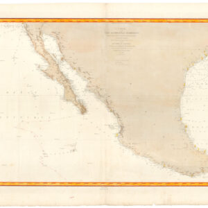
Carte de la côte occidentale d’Amérique…
- $875
- Nautical chart of Mexico, including San Diego and the Texas coast.
-
-
-
-
Add to cart
 Quick View
- Europe, Iceland & Scandinavia
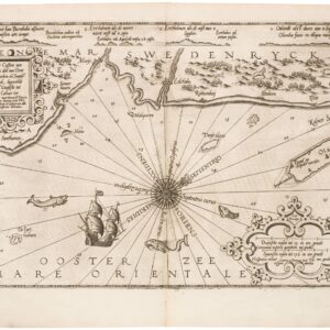
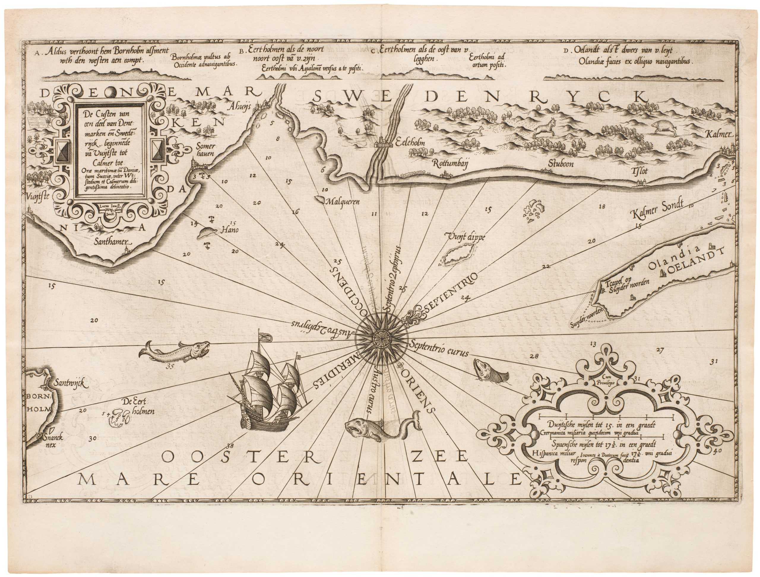
De Custen van een deel van Denemarken en Swederijck, beginnede va Vuijtste to Calmer Toe…
- $900
- Waghenear’s gorgeous 16th-century sea chart of Sweden’s Baltic coastline.
-
-
-
-
-
Add to cart
 Quick View
- Europe, Iceland & Scandinavia
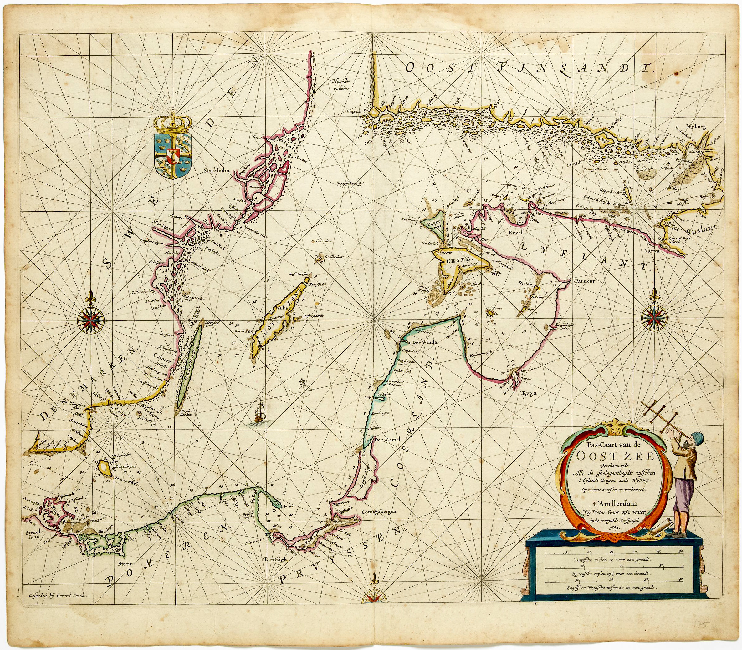
Pas-caart van de Oost zee verthoonende alle de ghelegntheydet tusschen t Eÿlandt Rugen end Wÿborg
- $975
- Striking, original-color nautical chart of the Baltic Sea by Pieter Goos.
-
-
-
-
-
Add to cart
 Quick View
- Americas, California, Mexico - Central & South America, North America
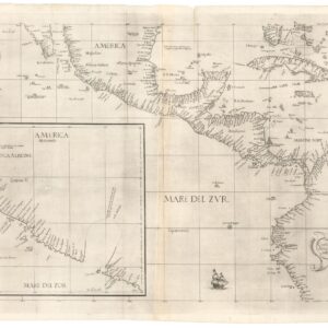
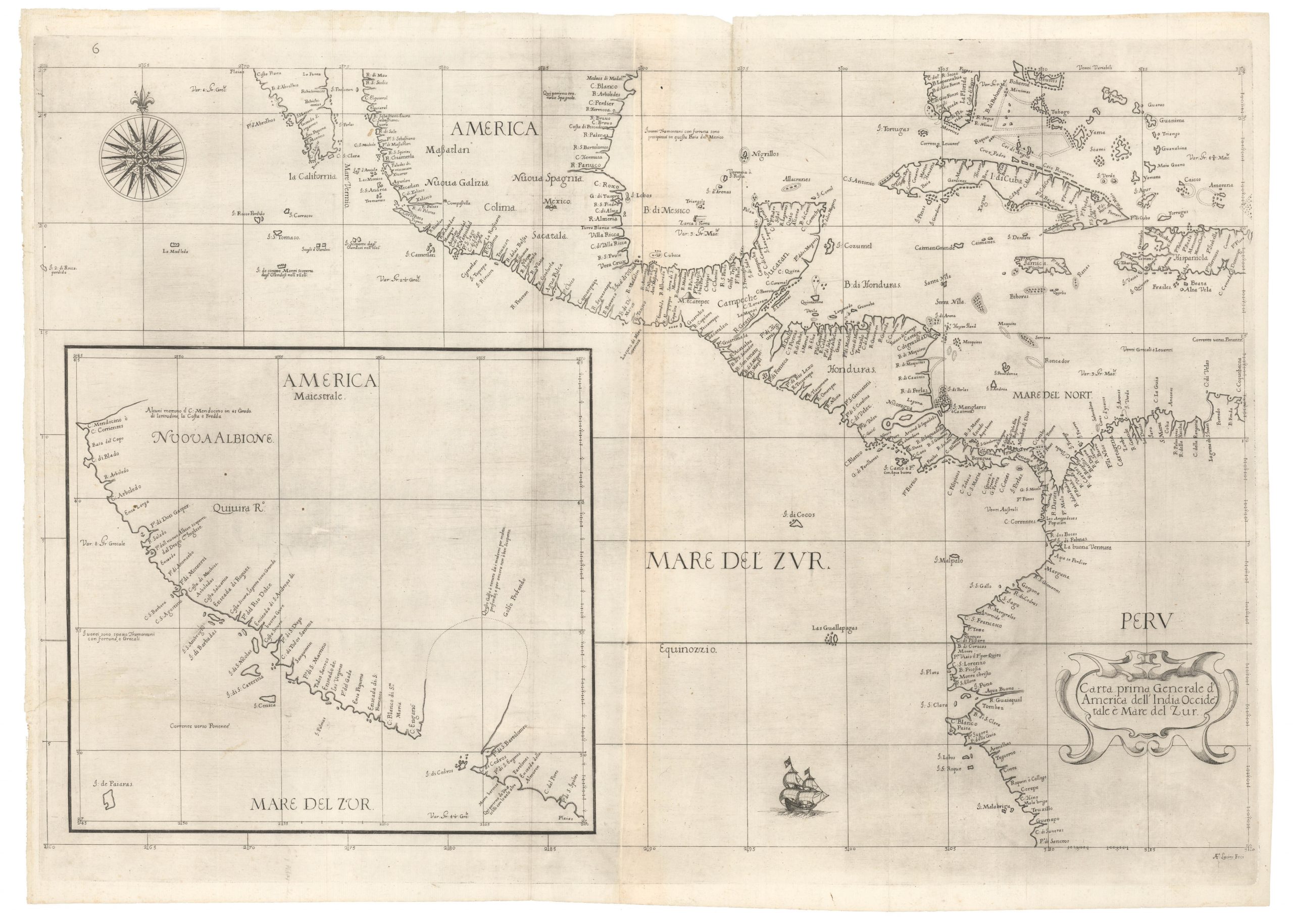
Carta prima generale d’America dell’India Occidentale e Mare del Zur.
- $7,000
- The earliest published sea chart to focus on the California coast!
-
-
-
-
-
Add to cart
 Quick View
- Asia, India
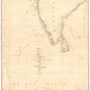
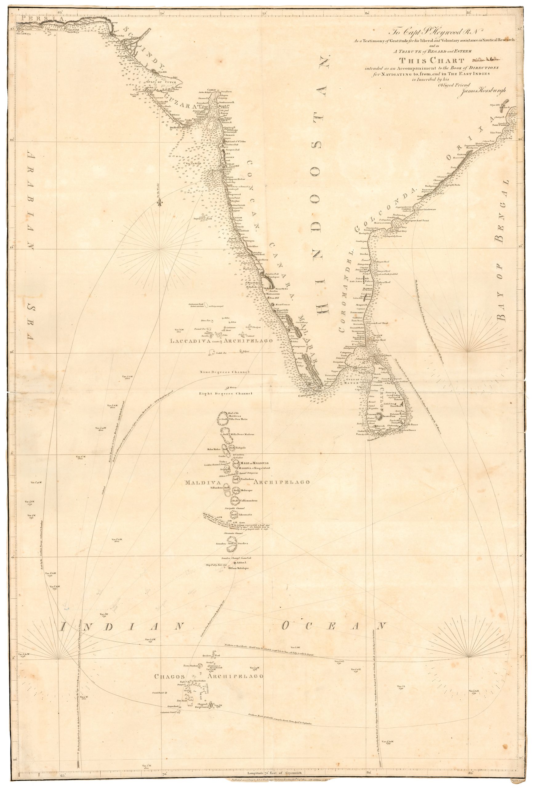
To Capt. P. Heywood…this chart… for navigating to from and in the East Indies.
- $1,400
- An especially rare chart of South India, the Maldives, and Sri Lanka.
-
-
-