-
-
Add to cartQuick View
- Americas, Cuba, West Indies, Caribbean
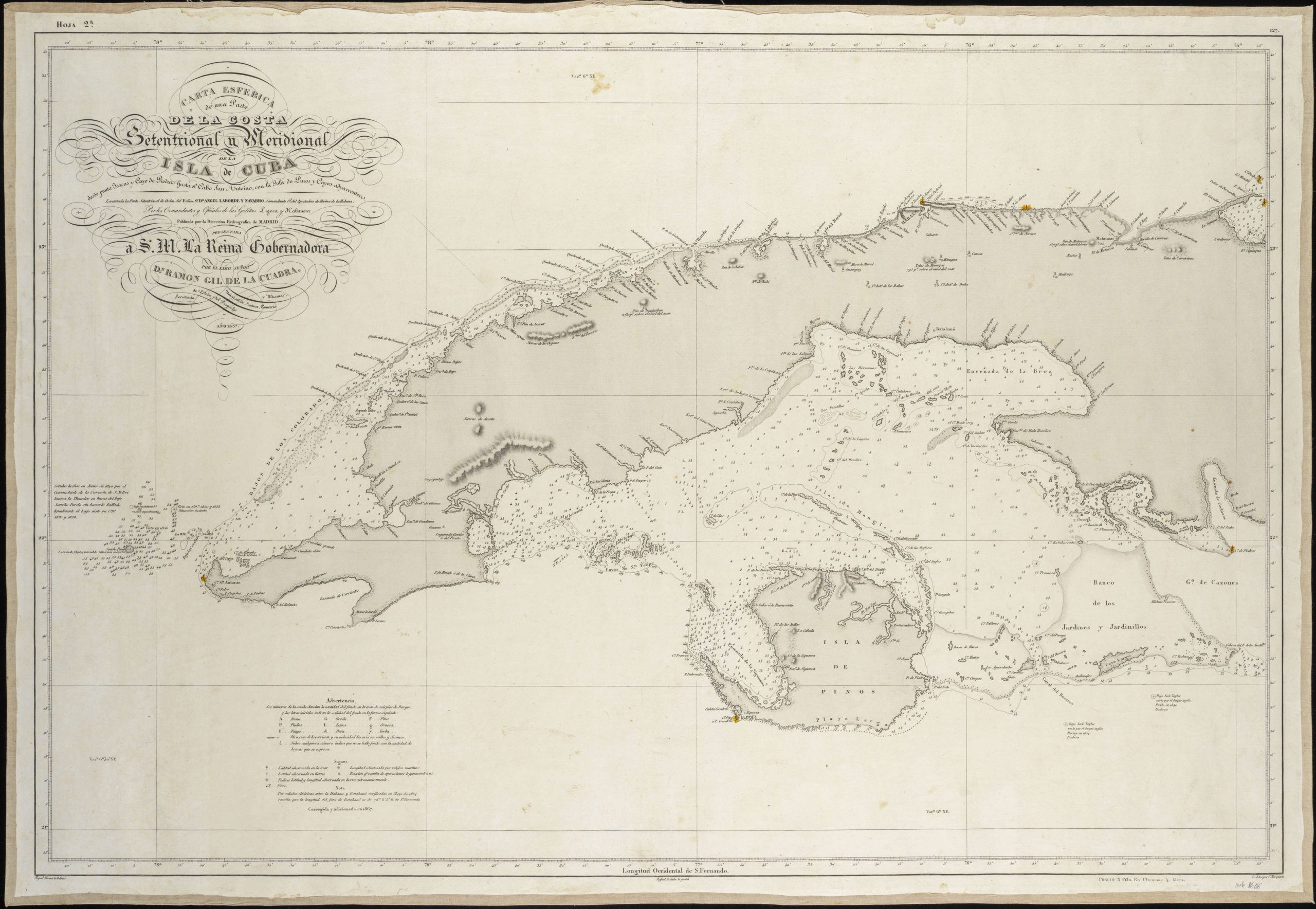
Carta Esferica De Una Parte de la Costa Setentrional y Meridional de la Isla de Cuba…
- $450
- Excellent Spanish sea chart of Western Cuba.
-
Add to cart
-
-
Add to cartQuick View
- Americas, Mexico - Central & South America
Spherical chart of part of the coast of Peru, from the Parallel of 7.° to 21.° 45.’ South Latititude; Surveyed and Drawn by Order of the King of Spain in the year 1790, By Officers of the Royal Navy.
- $950
- The best coastal view of Peru in the early 19th century.
-
Add to cart
-
-
Add to cartQuick View
- Europe, Iceland & Scandinavia
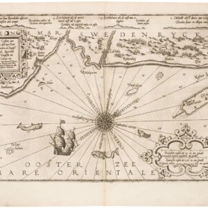
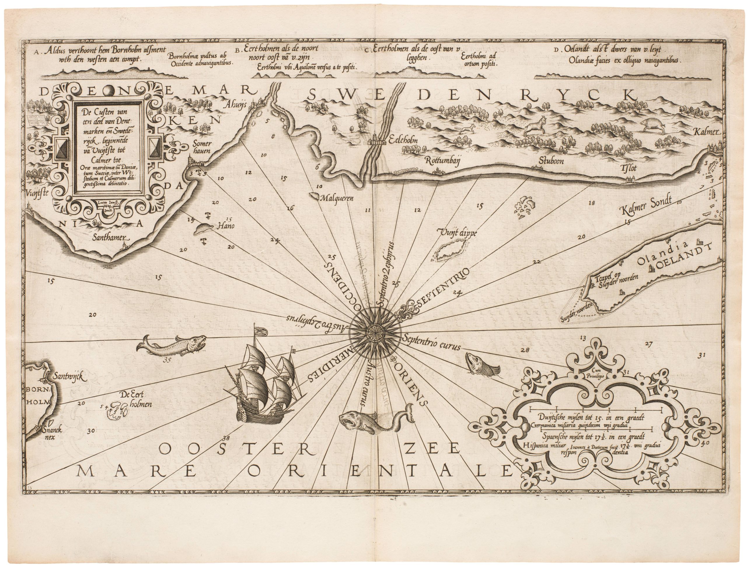
De Custen van een deel van Denemarken en Swederijck, beginnede va Vuijtste to Calmer Toe…
- $900
- Waghenear’s gorgeous 16th-century sea chart of Sweden’s Baltic coastline.
-
Add to cart
-
-
Add to cartQuick View
- Europe, Iceland & Scandinavia
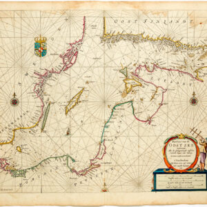
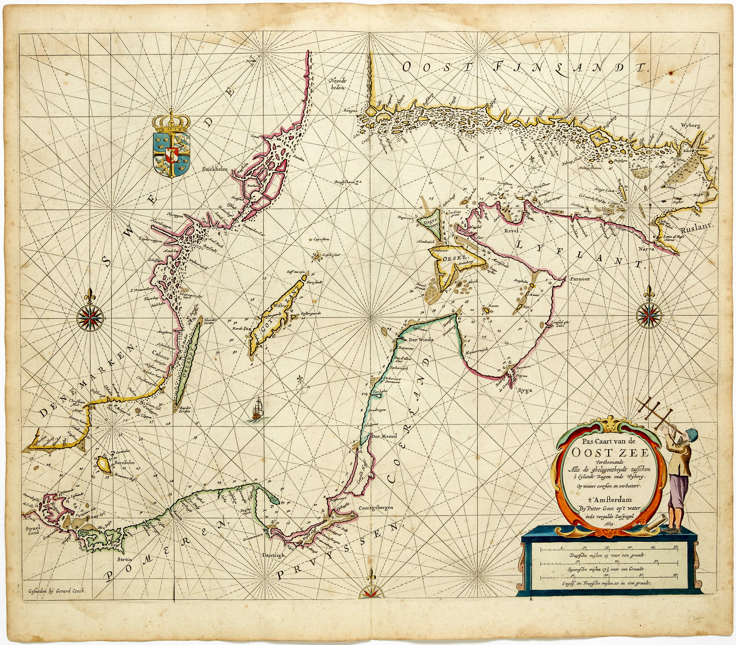
Pas-caart van de Oost zee verthoonende alle de ghelegntheydet tusschen t Eÿlandt Rugen end Wÿborg
- $975
- Striking, original-color nautical chart of the Baltic Sea by Pieter Goos.
-
Add to cart
-
-
Add to cartQuick View
- Asia
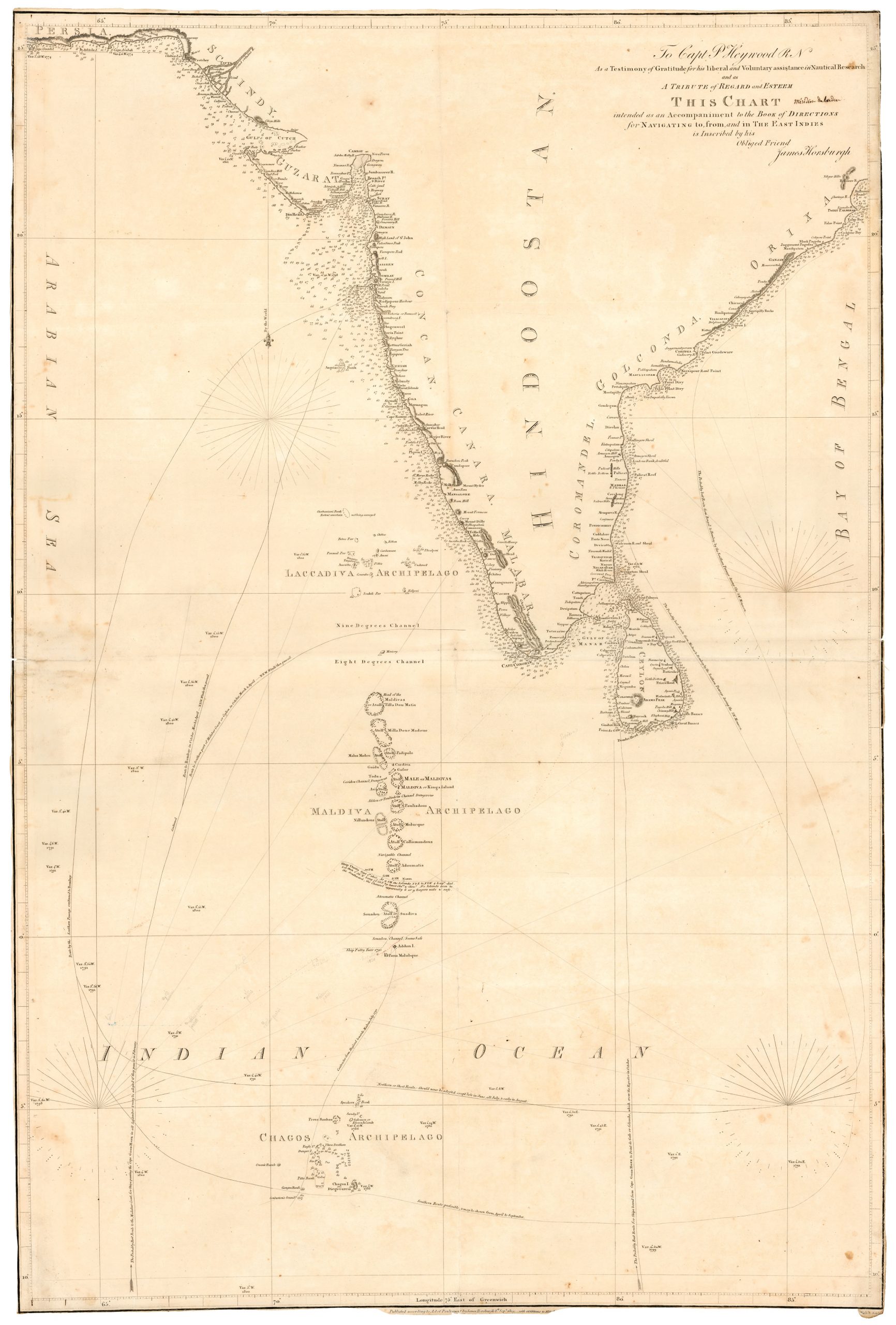
To Capt. P. Heywood…this chart… for navigating to from and in the East Indies
- $2,500
- An especially rare chart of South India, the Maldives, and Sri Lanka.
-
Add to cart
-
-
Add to cartQuick View
- California, Bay Area & Silicon Valley
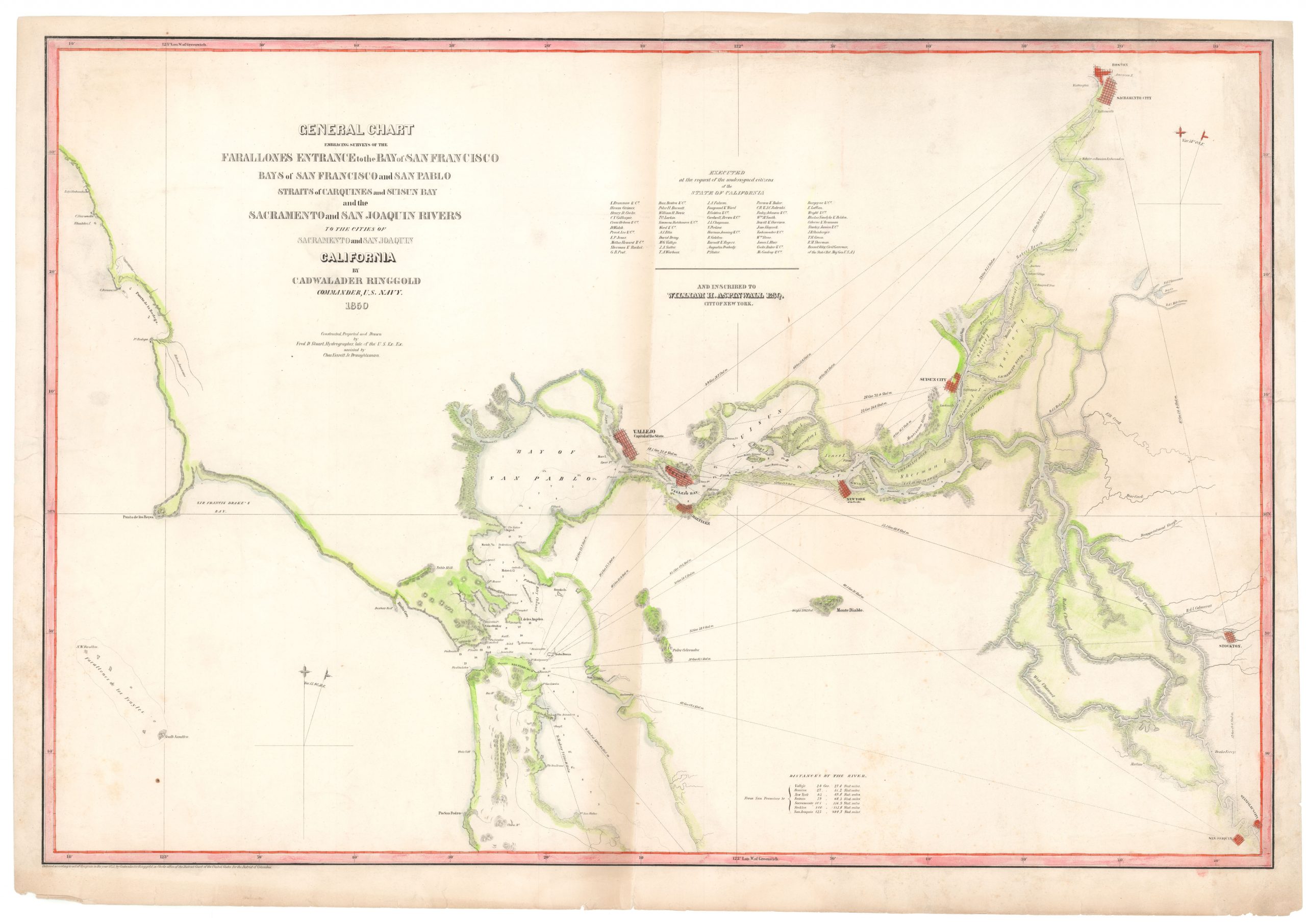
General Chart Embracing Surveys of the Farallones Entrance to the Bay of San Francisco and San Pablo Straits of Carquines and Suisun Bay and the Sacramento and San Joaquin Rivers
- $975
- Separate issue of Ringgold's Gold Rush-era river chart from San Francisco to Sacramento with Vallejo as State Capital.
-
Add to cart
-
-
Add to cartQuick View
- California, Curiosities - Miscellanea
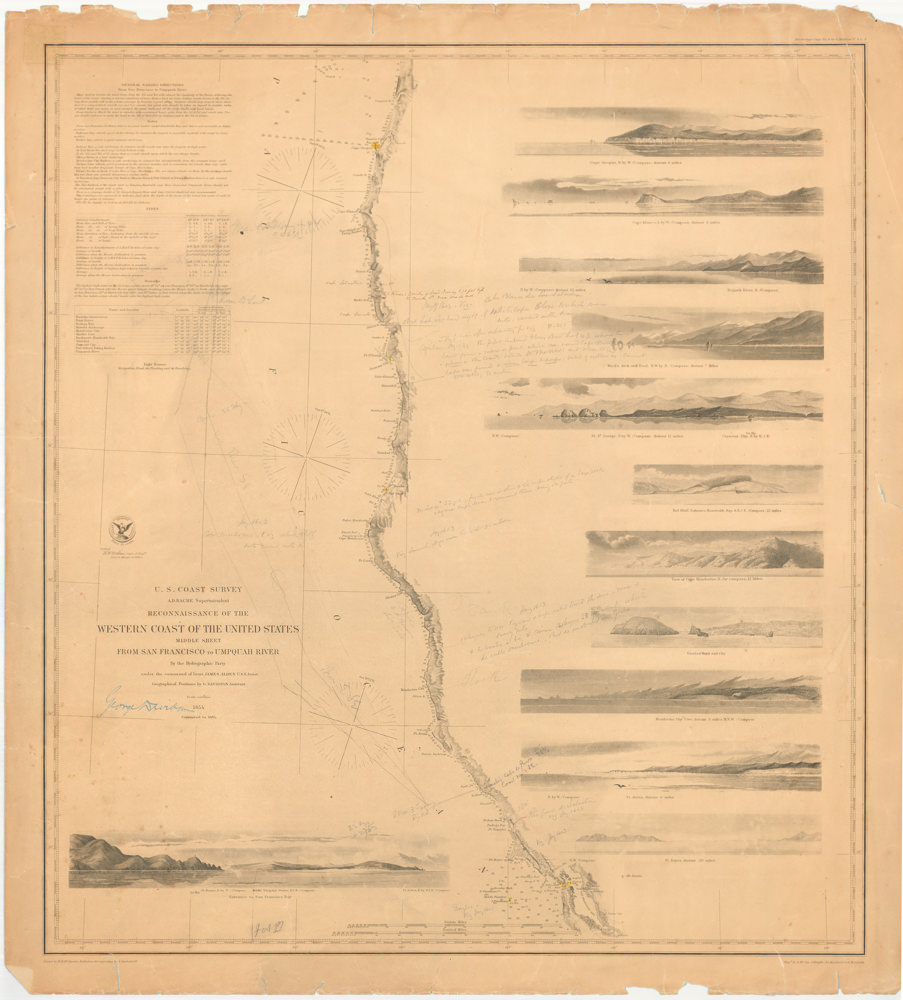
RECONNAISSANCE OF THE WESTERN COAST OF THE UNITED STATES MIDDLE SHEET FROM SAN FRANCISCO TO UMPQUAH RIVER
- $1,400
- Eminent geographer and historian George Davidson tracks the West Coast voyage of Sebastian Vizcaino.
-
Add to cart
-
-
Add to cartQuick View
- Africa, Arabia and the Red Sea, Asia, Michael's Collection
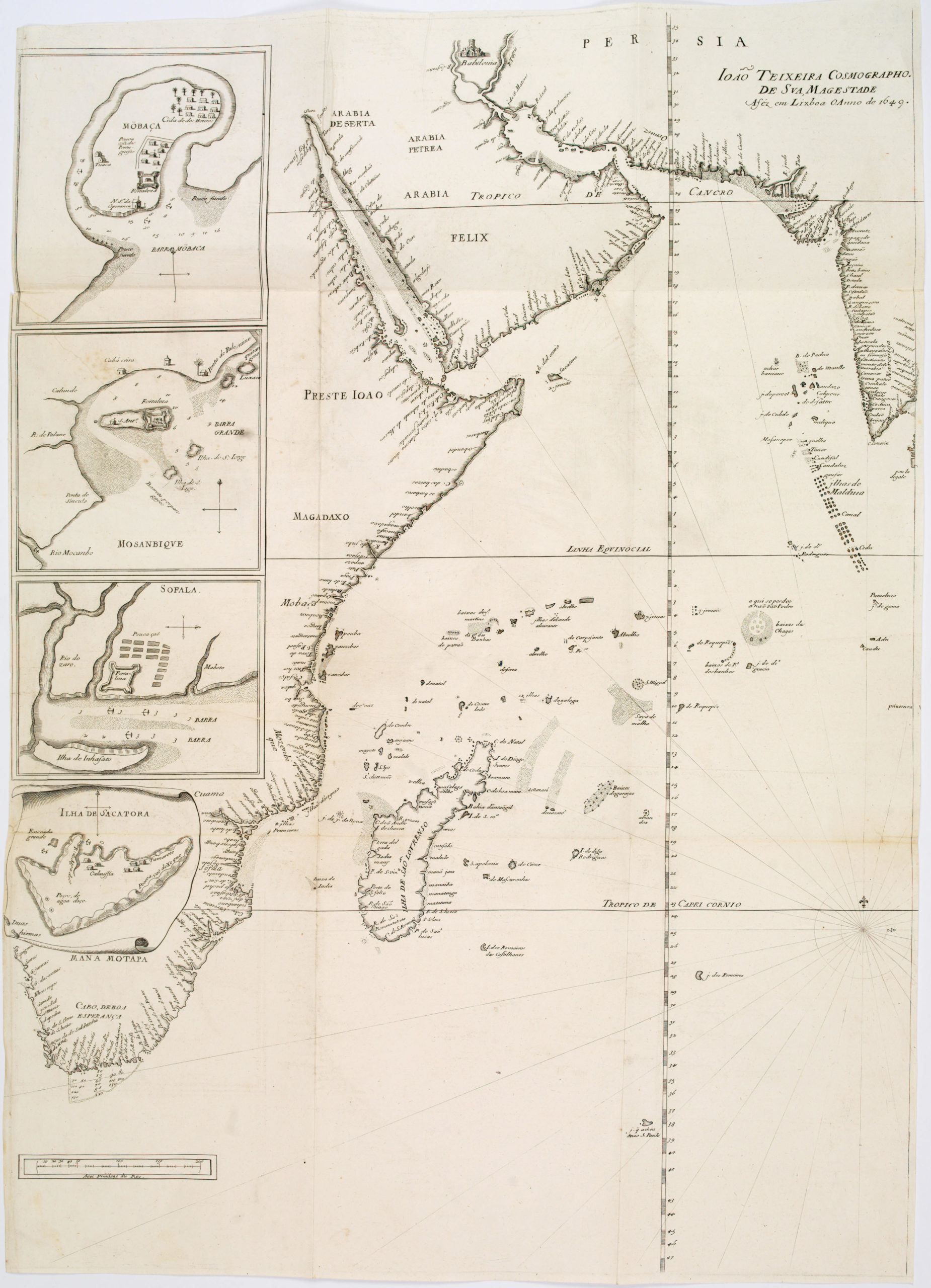
João Teixeira Cosmographo. De sua, Magestade. Aféz em Lixboa o Anno de 1649
- $6,000
- Rare 17th century portolan-style chart designed for use aboard Portuguese merchant vessels.
-
Add to cart
