Wonderful 1936 pictorial map of the United States.
[Title on Cover] America
Out of stock
Description
This full-color pictorial map of the United States is filled with charming vignettes and figures. Both tourist destinations and local resources are highlighted, including: Yellowstone, Yosemite, the Grand Canyon, and the Alamo, among many others. A large table of distances from New York, Boston, Montreal and Norfolk to points west fills the Atlantic Ocean.
While the map is completely in English, the highly illustrated verso contains German text – clearly designed to draw a German audience to America, which became a much shorter journey with the advent of commercial aviation.
Cartographer(s):
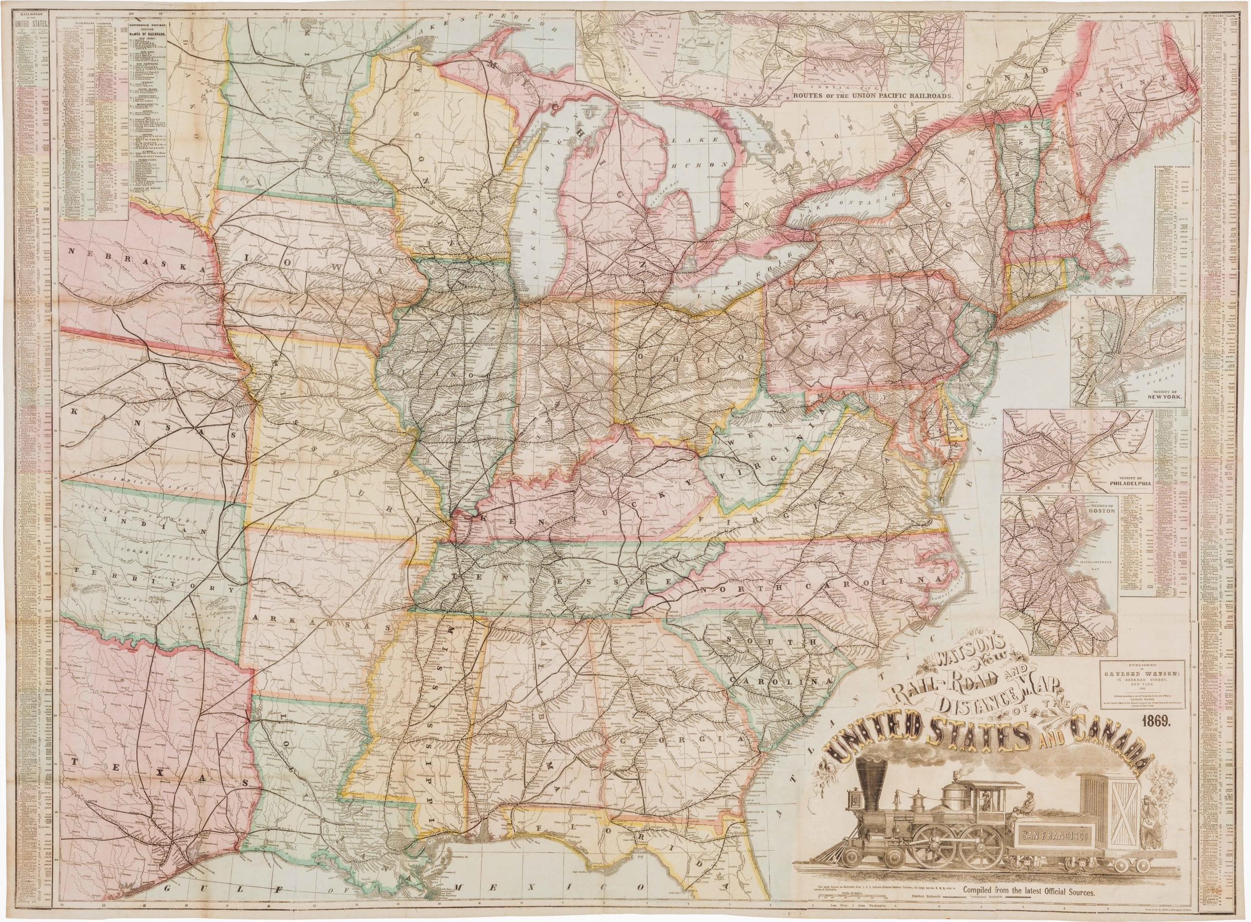
Poole Brothers was a prominent map publishing and printing company based in Chicago, Illinois, known for its extensive production of railroad maps, timetables, and promotional material. Founded by George Amos Poole in the late 19th century, the company became one of the leading map publishers in the United States during a time when rail travel was the primary mode of long-distance transportation.
Condition Description
A colorful example, issued folding, with several tiny splits at fold intersections as is commonly seen.
References