Edward Stanford (1827-1904) was a prominent British cartographer and entrepreneur who founded Stanford’s, a map-selling business that became one of the most significant map publishing companies in the 19th and 20th centuries. Established in 1853, his London-based shop was renowned for its extensive range of topographic and thematic maps.
Stanford’s attention to detail and dedication to producing accurate, up-to-date maps made his firm the official map supplier to the British government during several notable expeditions. In addition to supplying explorers, the general public, and various institutions with reliable maps, Stanford’s legacy also includes the notable “Stanford’s Library Map of London and its Suburbs,” which was acclaimed for its precision. The brand he founded remains respected in the cartographic world and has also expanded into travel books and accessories.
-
-
Add to cartQuick View
- Africa
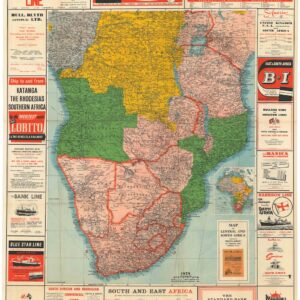
Map of Central and South Africa.
- $1,800
- A marvelous commercial edition of Stanford’s Map of Central and South Africa.
-
Add to cart
Archived
- Out of Stock
- United States
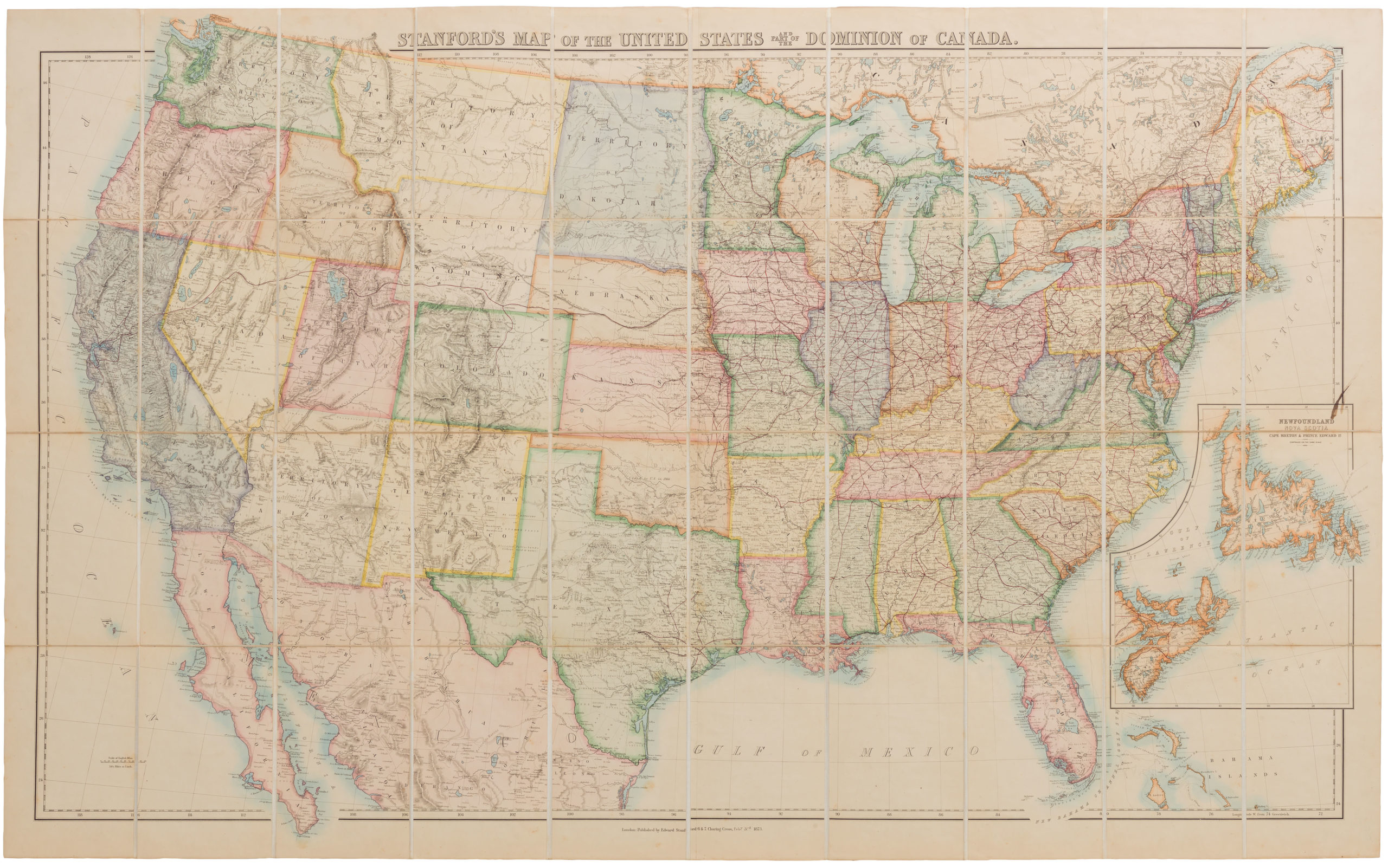
Stanford’s Map of the United States and Part of the Dominion of Canada.
- Stanford's monumental 1873 map of the U.S. with Dakotah Territory and the Transcontinental Railroad.
- Read moreQuick View
-
- Out of Stock
- Eastern Mediterranean - Holy Land, Middle East - Holy Land Maps
Map of Western Palestine in 26 Sheets, from Surveys Conducted for the The Committee of the Palestine Exploration Fund.
- The Survey of Western Palestine’s grandiose 26-sheet map in original covers.
- Read moreQuick View
-
- Out of Stock
- Eastern Mediterranean - Holy Land
Map of Western Palestine Illustrating the Natural Drainage and the Mountain Ranges.
- The topography and ecology of late Ottoman Palestine.
- Read moreQuick View
-
- Out of Stock
- Middle East - Holy Land Maps
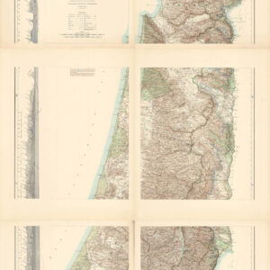
Map of Western Palestine [on Six Sheets], from Surveys Conducted for the Committee of the Palestine Exploration Fund.
- The iconic Survey of Western Palestine overview map.
- Read moreQuick View
-
![Map of Western Palestine [on Six Sheets], from Surveys Conducted for the Committee of the Palestine Exploration Fund.](https://neatlinemaps.com/wp-content/uploads/2023/07/NL-01874-composite_thumbnail-300x300.jpg)