Jean-Claude Dezauche was a well-known Paris map publisher who set up his shop around 1770. The foundation for the business was his acquisition of the archives of Guillaume De l’Isle and Philipe Buache, two of the most highly-renowned royal French cartographers.
Among Dezauche’s many lucrative contracts was a monopoly on selling the maps produced by the national Dèpôt de la Marine. When his son, Jean André Dezauche, took over the family business upon his father’s death, he inherited this contract.
-
-
Add to cartQuick View
- Americas, Cuba, West Indies, Caribbean, East & Midwest United States, United States
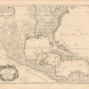
Carte Du Mexique Et Des Etats Unis d’Amerique, Partie Meridionale.
- $1,200
- An Early Mention of the United States of America.
-
Add to cart
-
-
Add to cartQuick View
- East & Midwest United States, Texas and The West
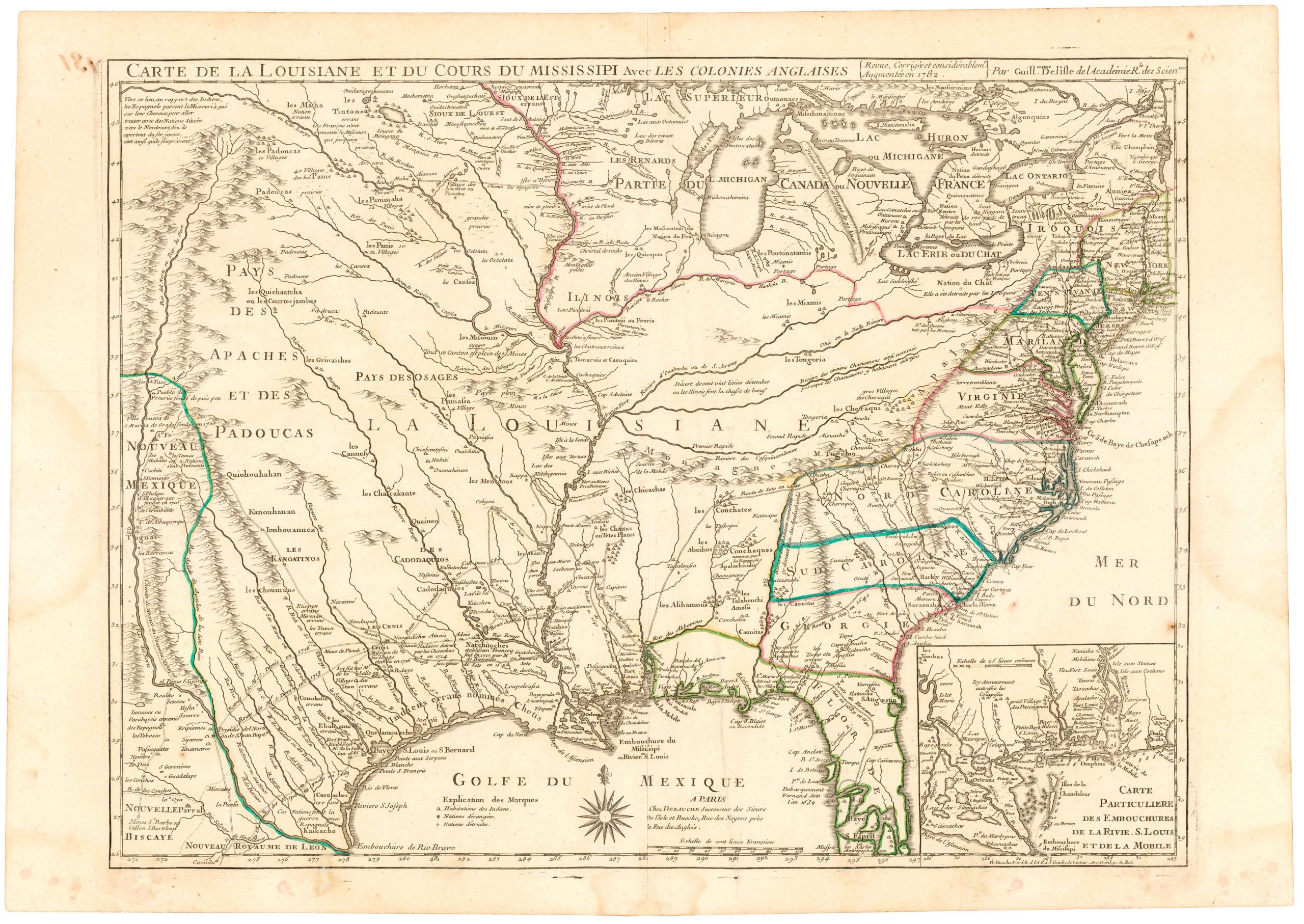
Carte De La Louisiane Et Du Cours Du Mississipi Avec Les Colonies Anglaises.
- $1,200
- Dezauche's 1782 map of colonial America: a map that blends Delisle's celebrated achievements with new features for the Revolutionary War.
-
Add to cart
-
-
Add to cartQuick View
- Pacific Northwest - Hawaii - Alaska
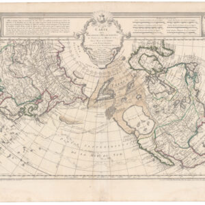
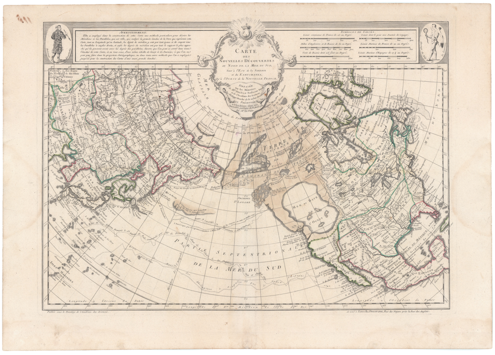
Carte Des Nouvelles Decouvertes Au Nord de la Mer de Sud, Tant a l’Est de la Siberie et du Kamtchatcka, Qu’a l’Ouest de la Nouvelle France, Dressee sur les Memoires…1750
- $1,800
- Famed North Pacific map, with a giant Sea of the West and the dubious discoveries of Admiral de Fonte.
-
Add to cart
-
-
Add to cartQuick View
- Americas, Cuba, West Indies, Caribbean, East & Midwest United States
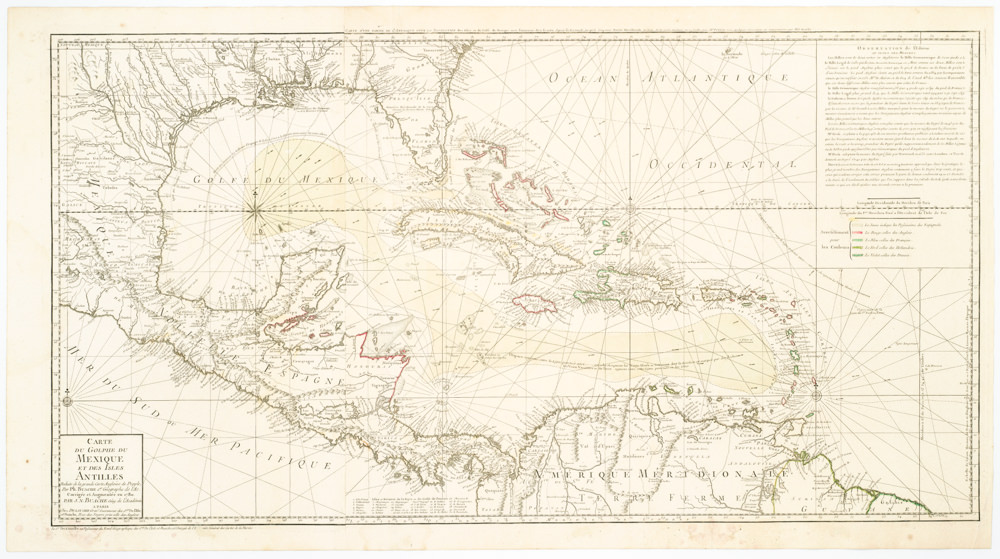
Carte Du Golphe Du Mexique Et Des Isles Antilles Reduite de la grande carte Angloise de Popple, Par PH. Buache…1780.
- $900
- Dezauche's exquisite chart of the Gulf Coast, Florida, and Caribbean Archipelago depicts a French Colonial Empire that is slowly falling apart.
-
Add to cart
Archived
- Out of Stock
- Americas, Canada and The Great Lakes
Carte du Canada qui comprend la partie septentrionale des Etats Unis d’Amérique.
- De l’Isle’s seminal rendition of Canada in the desirable Post-Revolution state!
- Read moreQuick View
-
