The Office of Coast Survey is the official chartmaker of the United States. Set up in 1807, it is one of the U.S. government’s oldest scientific organizations. In 1878 it was given the name of Coast and Geodetic Survey (C&GS). In 1970 it became part of the National Oceanic and Atmospheric Administration (NOAA).
The agency was established in 1807 when President Thomas Jefferson signed the document entitled “An act to provide for surveying the coasts of the United States.” While the bill’s objective was specific—to produce nautical charts—it reflected larger issues of concern to the new nation: national boundaries, commerce, and defense.
Alexander Dallas Bache, great-grandson of Benjamin Franklin, was the second Coast Survey superintendent. Bache was a physicist, scientist, and surveyor who established the first magnetic observatory and served as the first president of the National Academy of Sciences. Under Bache, Coast Survey quickly applied its resources to the Union cause during the Civil War. In addition to setting up additional lithographic presses to produce the thousands of charts required by the Navy and other vessels, Bache made a critical decision to send Coast Survey parties to work with blockading squadrons and armies in the field, producing hundreds of maps and charts.
In 1871, Congress officially expanded the Coast Survey’s responsibilities to include geodetic surveys in the interior of the country, and one of its first major projects in the interior was to survey the 39th Parallel across the entire country. Between 1874 and 1877, the Coast Survey employed the naturalist and author John Muir as a guide and artist during the survey of the 39th Parallel in the Great Basin of Nevada and Utah. To reflect its acquisition of the mission of surveying the U.S. interior and the growing role of geodesy in its operations, the U.S. Coast Survey was renamed the United States Coast and Geodetic Survey (USC&GS) in 1878.
-
-
Add to cartQuick View
- California, San Francisco
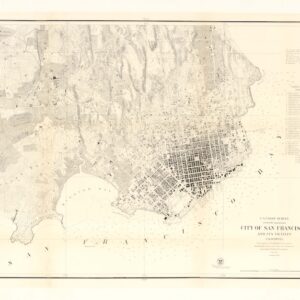
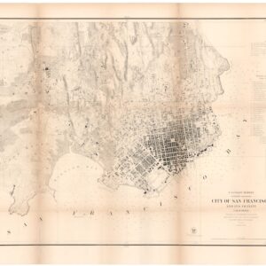
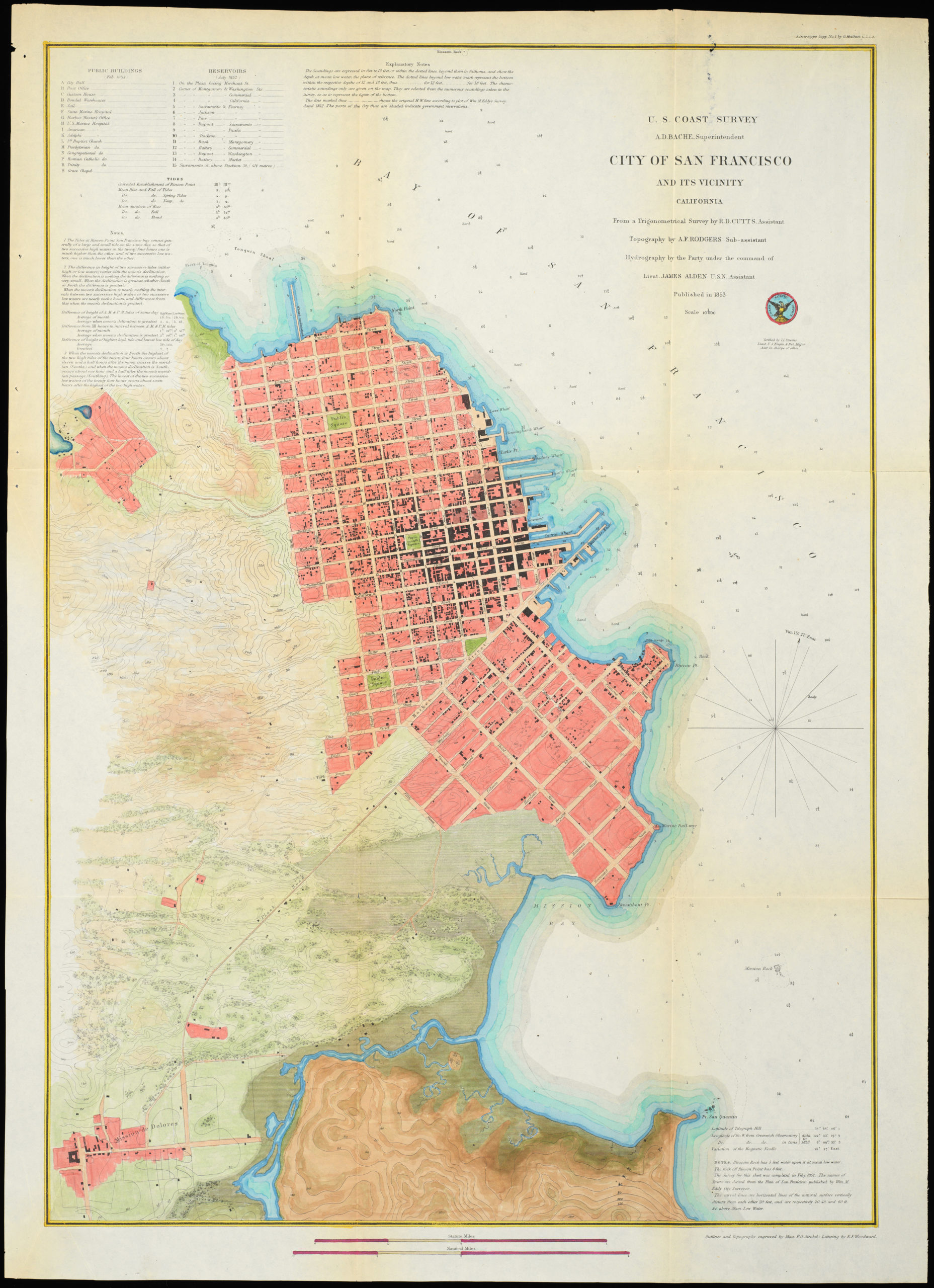
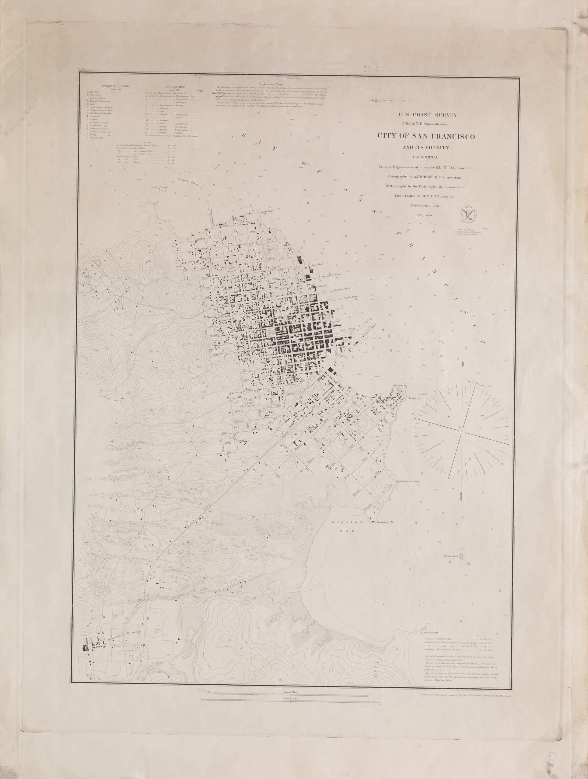
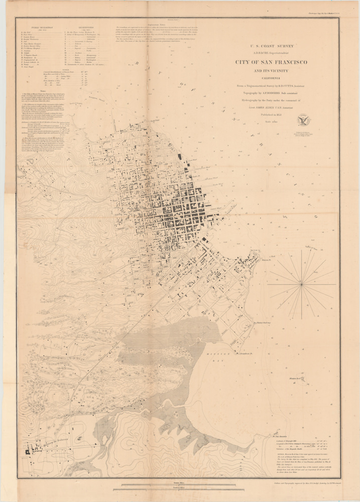
City of San Francisco and its Vicinity.
- $2,200
- A cornerstone map for the historical cartography of San Francisco.
-
Add to cart
-
-
Add to cartQuick View
- San Francisco
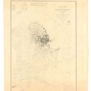
U.S. Coast Survey A.D. Bache, Superintendent, City Of San Francisco And Its Vicinity California. From a Trigonometrical Survey by R.D. Cutts, Assistant…
- $2,500
- 1853 United States Coast Survey steel-engraved master sheet map of the San Francisco Peninsula.
-
Add to cart
Archived
- Out of Stock
- San Francisco
City of San Francisco and Its Vicinity.
- San Francisco transforms into a city.
- Read moreQuick View
-
- Out of Stock
- San Francisco
City of San Francisco and its Vicinity.
- A cornerstone map for the historical cartography of San Francisco.
- Read moreQuick View
-
- Out of Stock
- San Francisco
Magnetic Ranges for Compass Deviation San Francisco Bay California.
- A late 19th-century San Francisco Bay magnetic variation booklet with views and a map.
- Read moreQuick View
-
- Out of Stock
- San Francisco
City of San Francisco and its Vicinity.
- A cornerstone map for the historical cartography of San Francisco.
- Read moreQuick View
-
- Out of Stock
- Bay Area & Silicon Valley, Marin, Sonoma, & Napa Valley, San Francisco
San Francisco Entrance, Section of Chart No. 5532
- A Nautical Chart of San Francisco Bay Promoting the 1915 Panama-Pacific International Exposition.
- Read moreQuick View
-
- Out of Stock
- Bay Area & Silicon Valley
San Antonio Creek watershed and Oakland.
- One of the first maps of Oakland, with Alameda as a peninsula.
- Read moreQuick View
-
- Out of StockSale!
- Bay Area & Silicon Valley, San Francisco
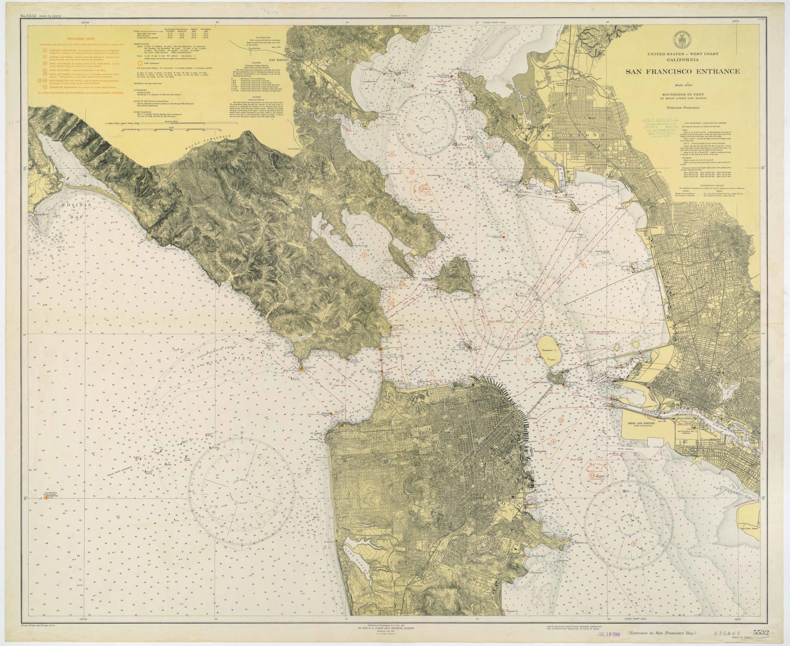
San Francisco Entrance
- Attractive chart of the Bay Area with detailed mapping of San Francisco, the East Bay, and Marin County.
- Read moreQuick View
-
- Out of Stock
- Bay Area & Silicon Valley
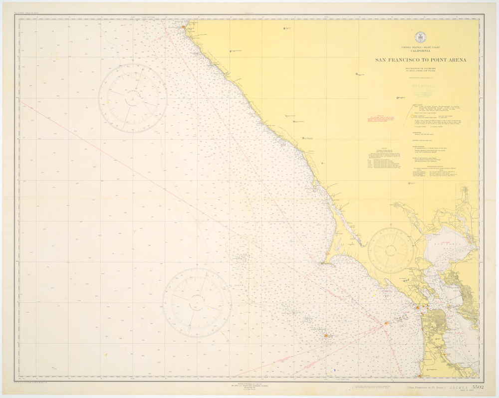
San Francisco to Point Arena
- World War II era coastal chart from San Francisco to Point Arena.
- Read moreQuick View
-
- Out of Stock
- San Francisco
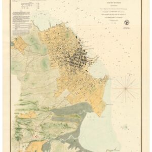
City of San Francisco and Its Vicinity
- Colorful and bright 1853 Coast Survey map of SF with downtown, marsh lands, and Mission Dolores.
- Read moreQuick View
-
- Out of Stock
- California
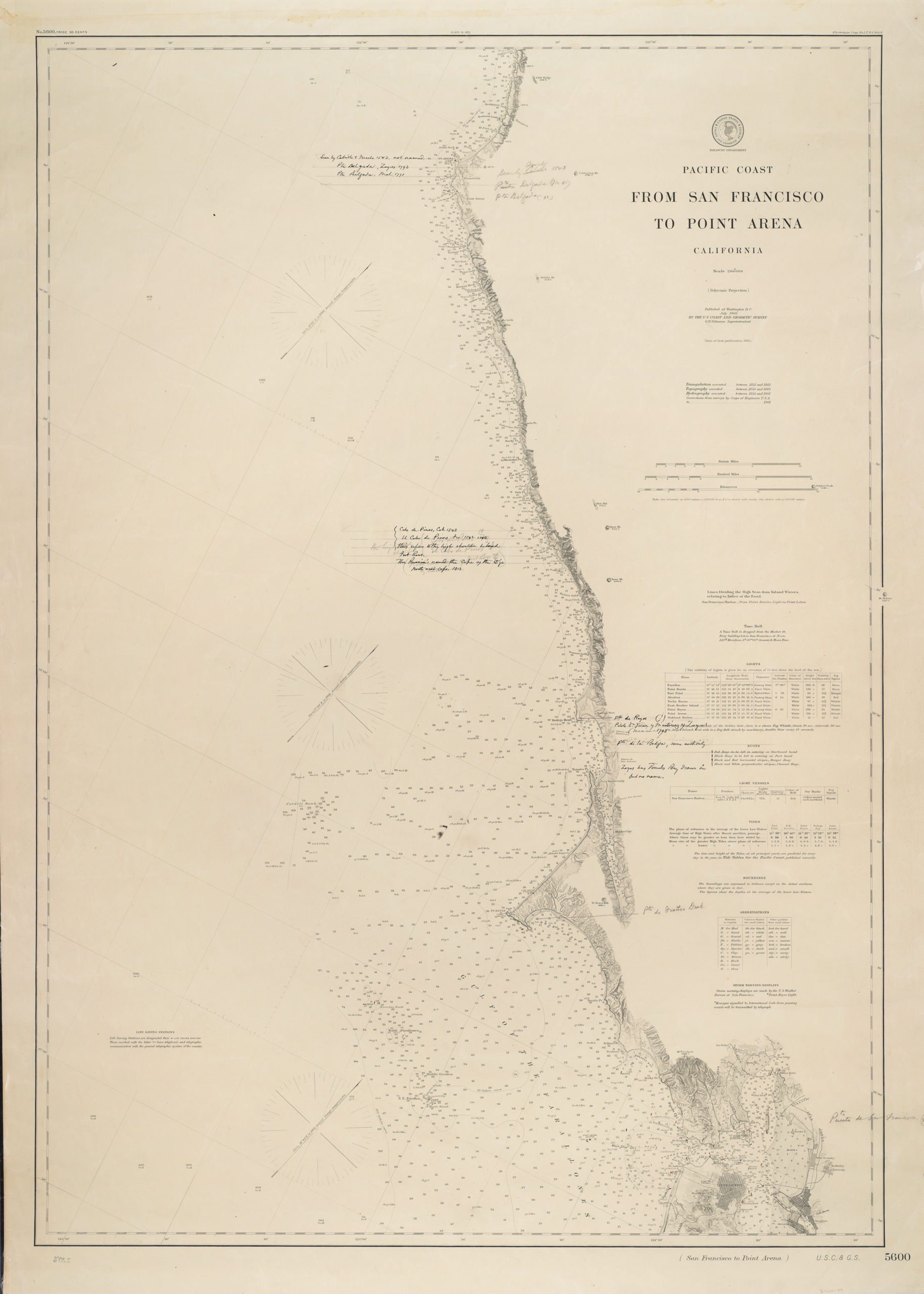
Pacific Coast from San Francisco to Point Arena California…
- Detailed 1901 sea chart of the California coast, from San Francisco to Point Arena.
- Read moreQuick View
-
- Out of Stock
- Marin, Sonoma, & Napa Valley
Tamalpais Quadrangle (Topography)
- 1913 topographic map of southwest Marin County - early Stinson Beach township.
- Read moreQuick View
-
- Out of Stock
- Bay Area & Silicon Valley, Gold Rush maps
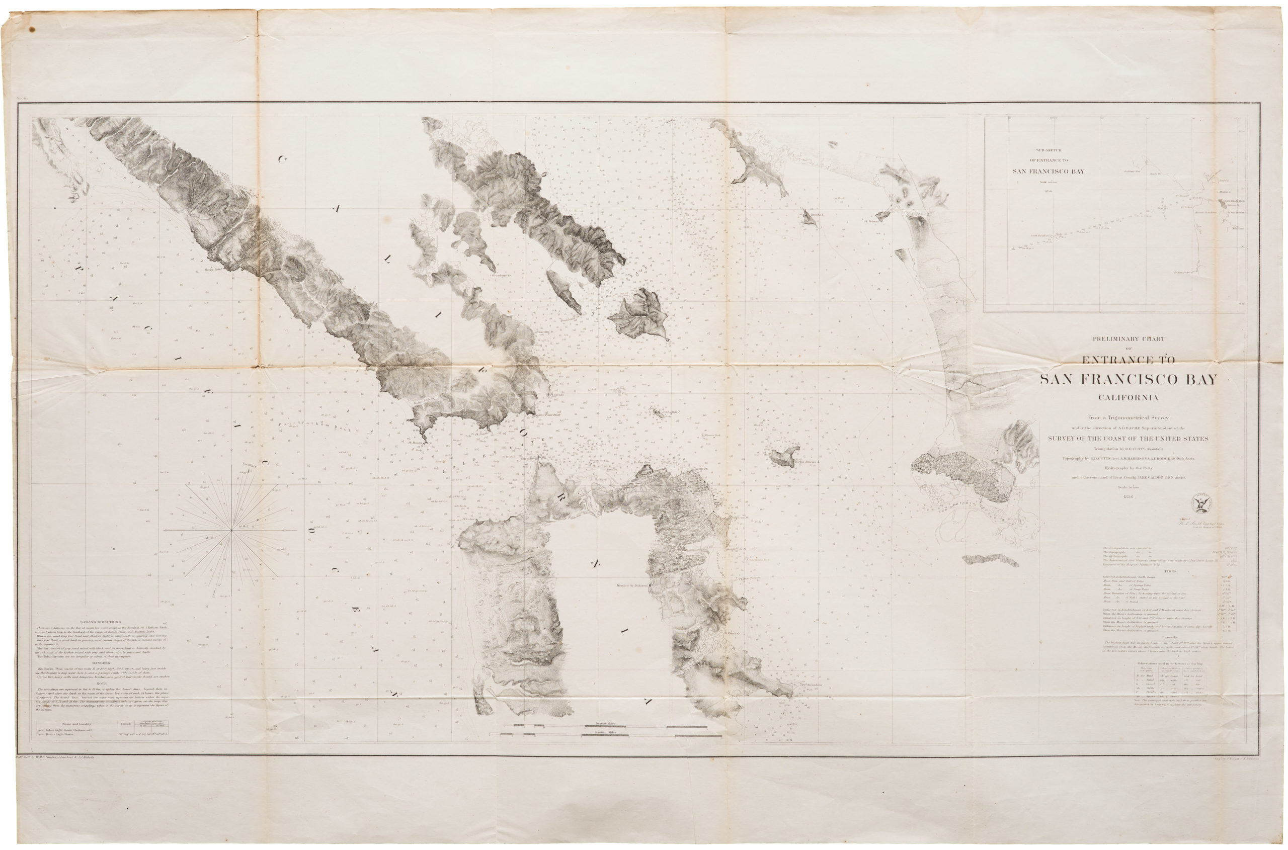
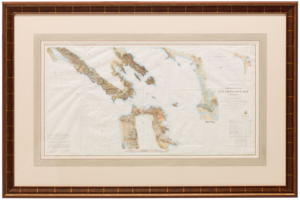
Preliminary Chart of Entrance to San Francisco Bay California
- Gold Rush era sea chart of San Francisco Bay
- Read moreQuick View
-
- Out of Stock
- Bay Area & Silicon Valley
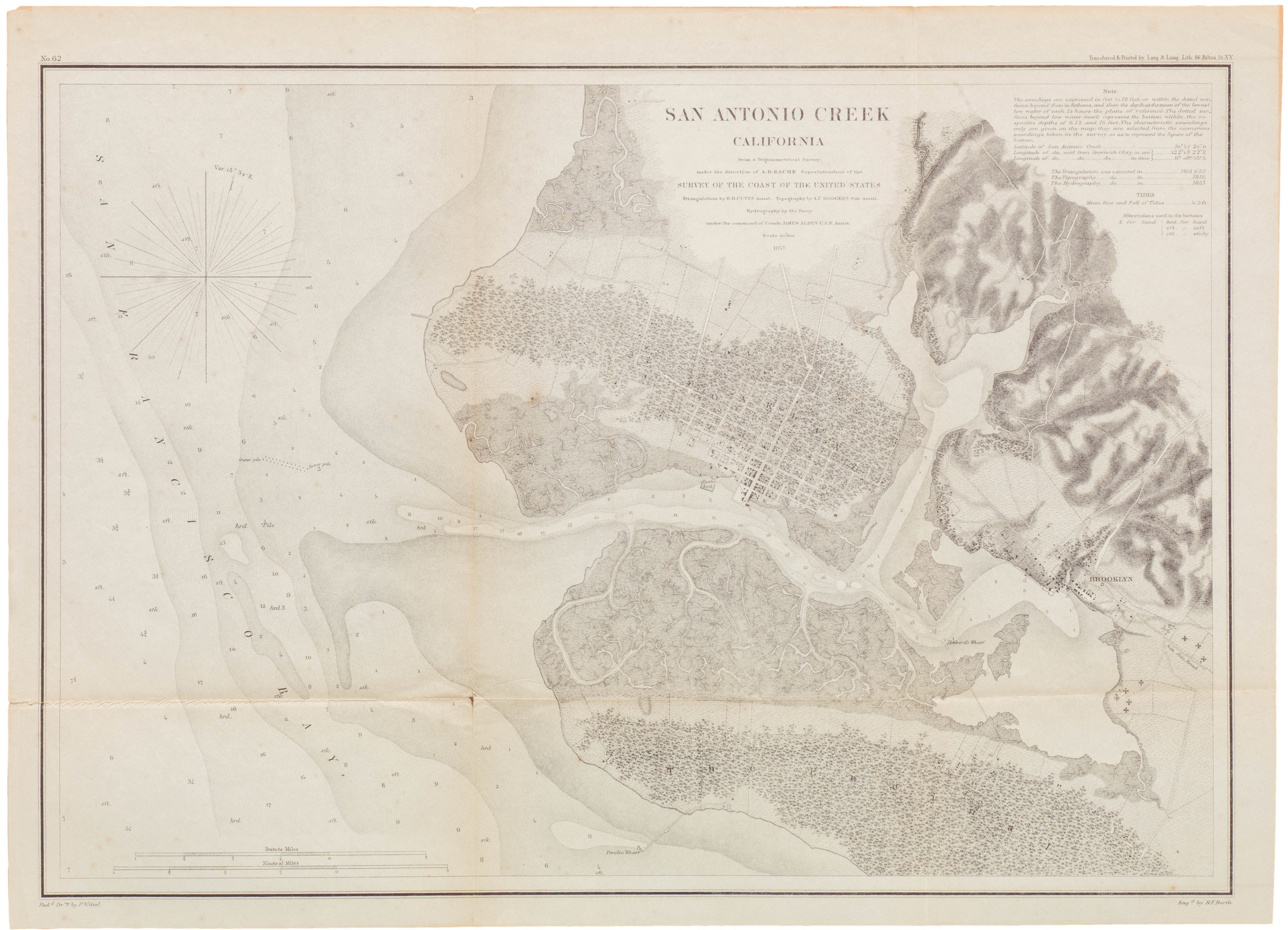
San Antonio Creek California
- 1857 United States Coast Survey map of old San Antonio Creek watershed and Oakland.
- Read moreQuick View
-
- Out of Stock
- California
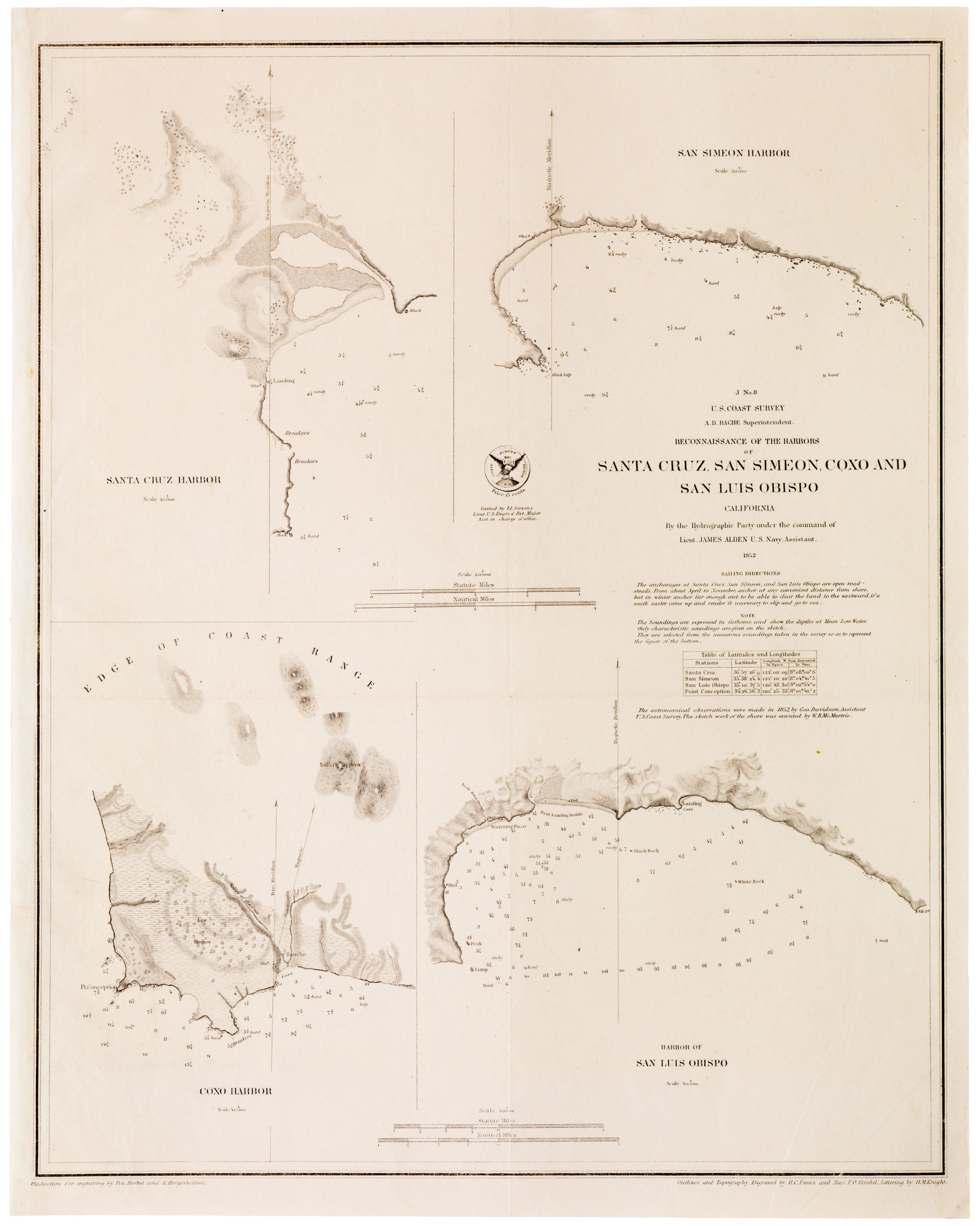
Reconnaissance of the Harbors of Santa Cruz, San Simeon, Coxo and San Luis Obispo California
- 1852 United States Coast Survey California harbor map, including Santa Cruz.
- Read moreQuick View
-
- Out of Stock
- Marin, Sonoma, & Napa Valley
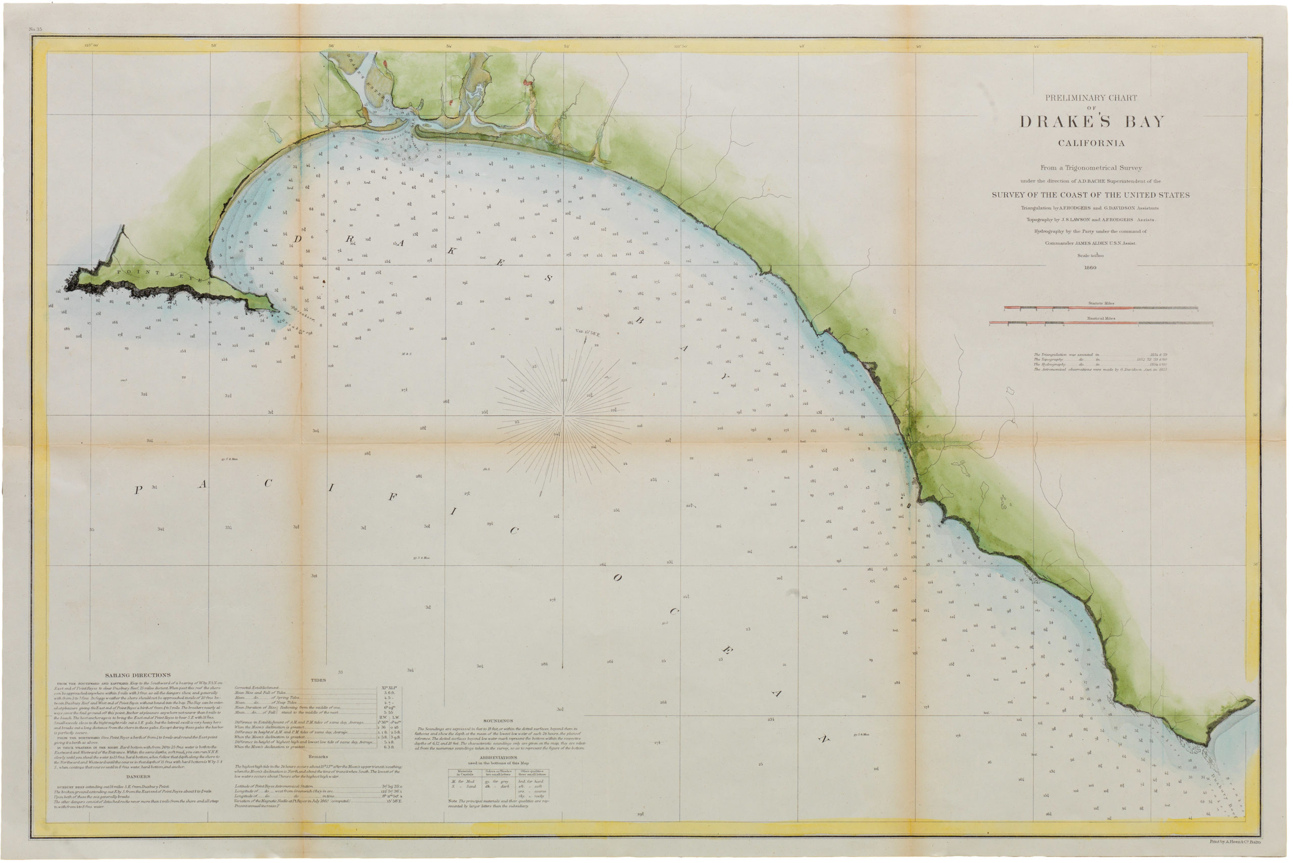
Preliminary Chart of Drake’s Bay California
- 1860 United States Coast Survey map of Point Reyes and Drake's Bay
- Read moreQuick View
-
- Out of Stock
- San Francisco
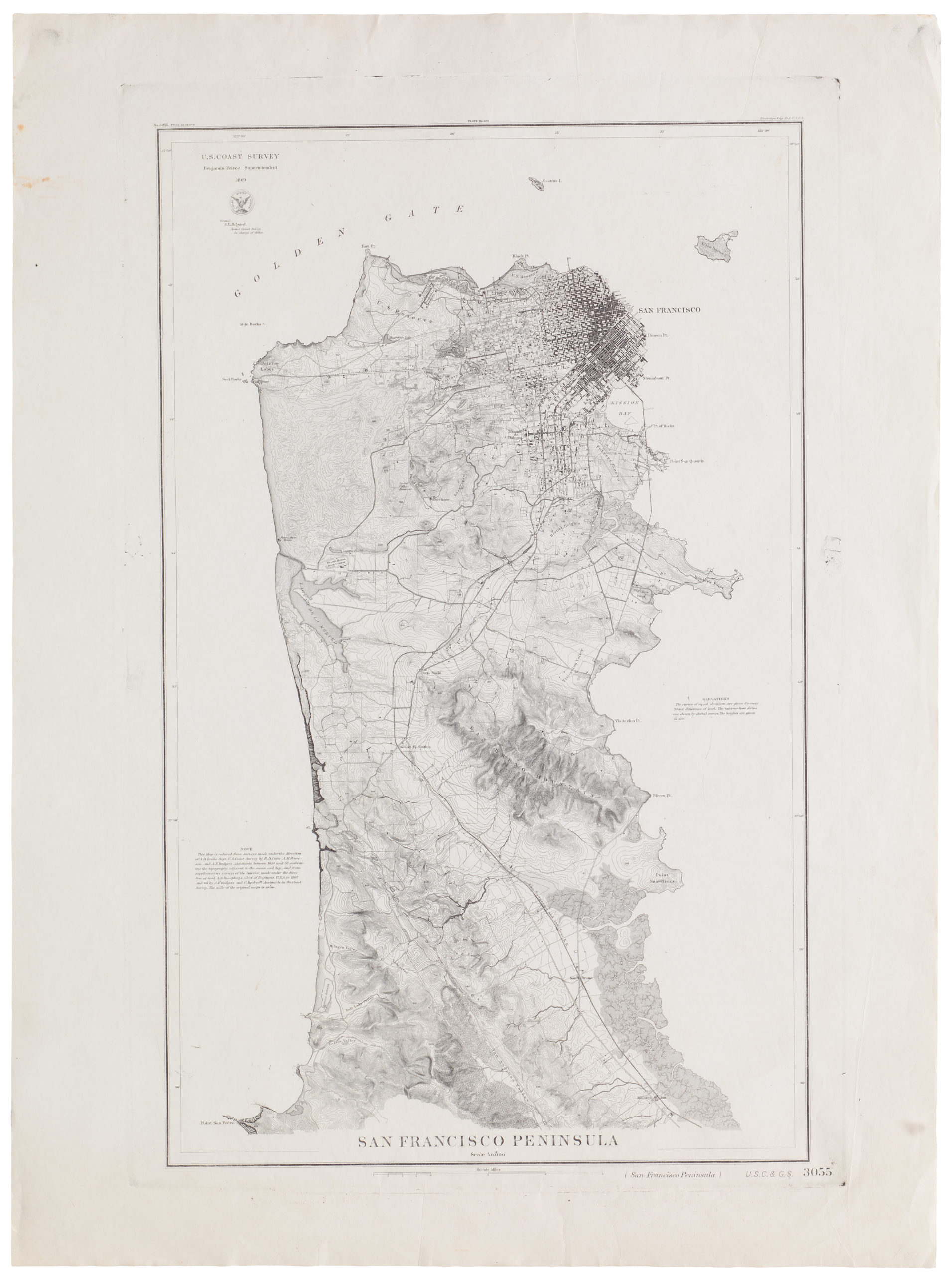
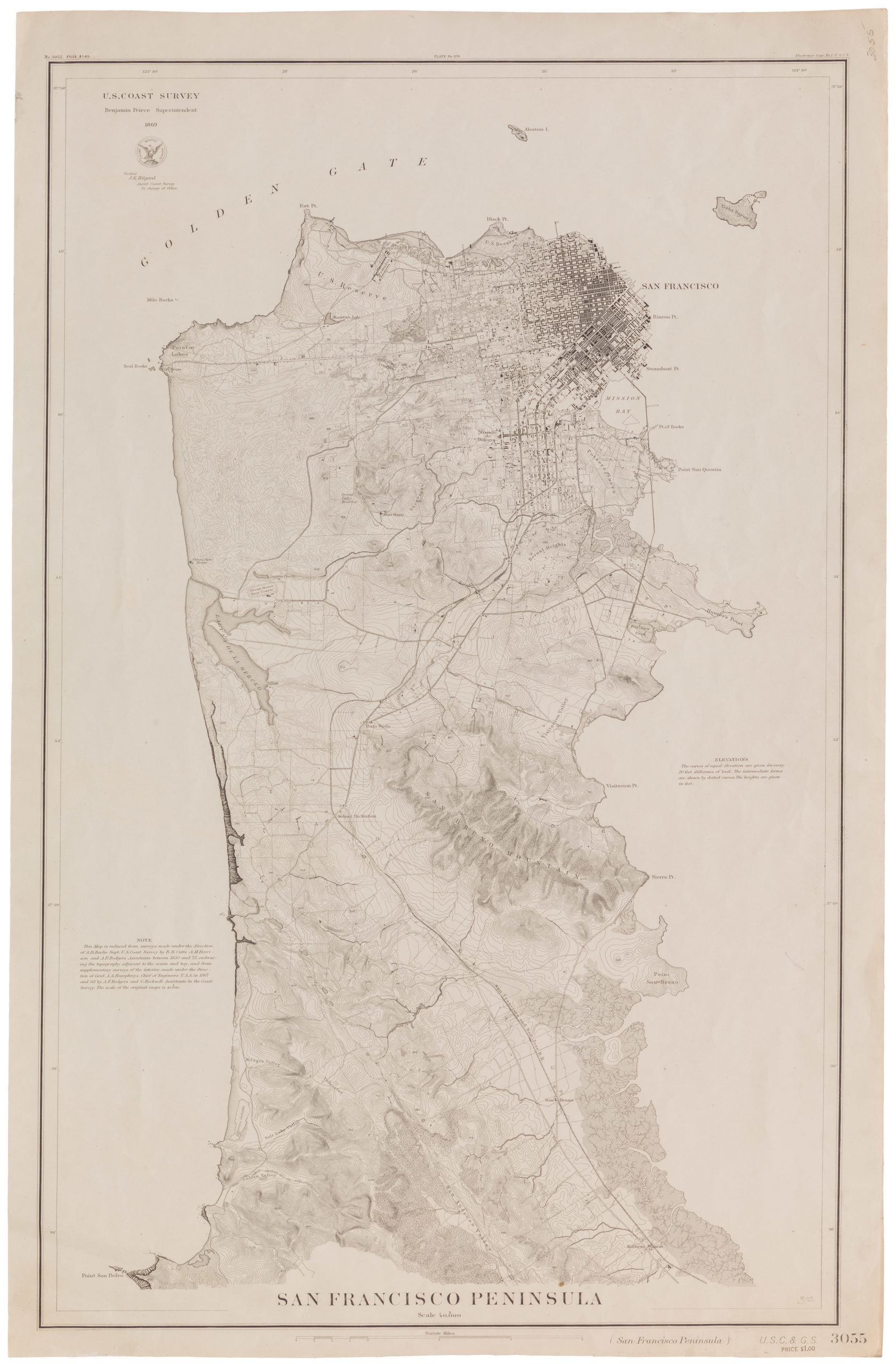
San Francisco Peninsula. U.S. Coast Survey. Benjamin Peirce, Superintendent. 1869. Price $1.50. Verified J.E. Hilgard. Assist Coast Survey. In Charge of Office.
- Striking late 19th century Coast Survey topographical chart of San Francisco Peninsula.
- Read moreQuick View
-
- Out of Stock
- Gold Rush maps, San Francisco
City of San Francisco and its Vicinity.
- 1853 United States Coast Survey steel-engraved master sheet map of the San Francisco Peninsula.
- Read moreQuick View
-
- Out of Stock
- Gold Rush maps, San Francisco
City of San Francisco and its Vicinity
- 1853 United States Coast Survey map of San Francisco.
- Read moreQuick View
-
- Out of Stock
- Bay Area & Silicon Valley, Gold Rush maps
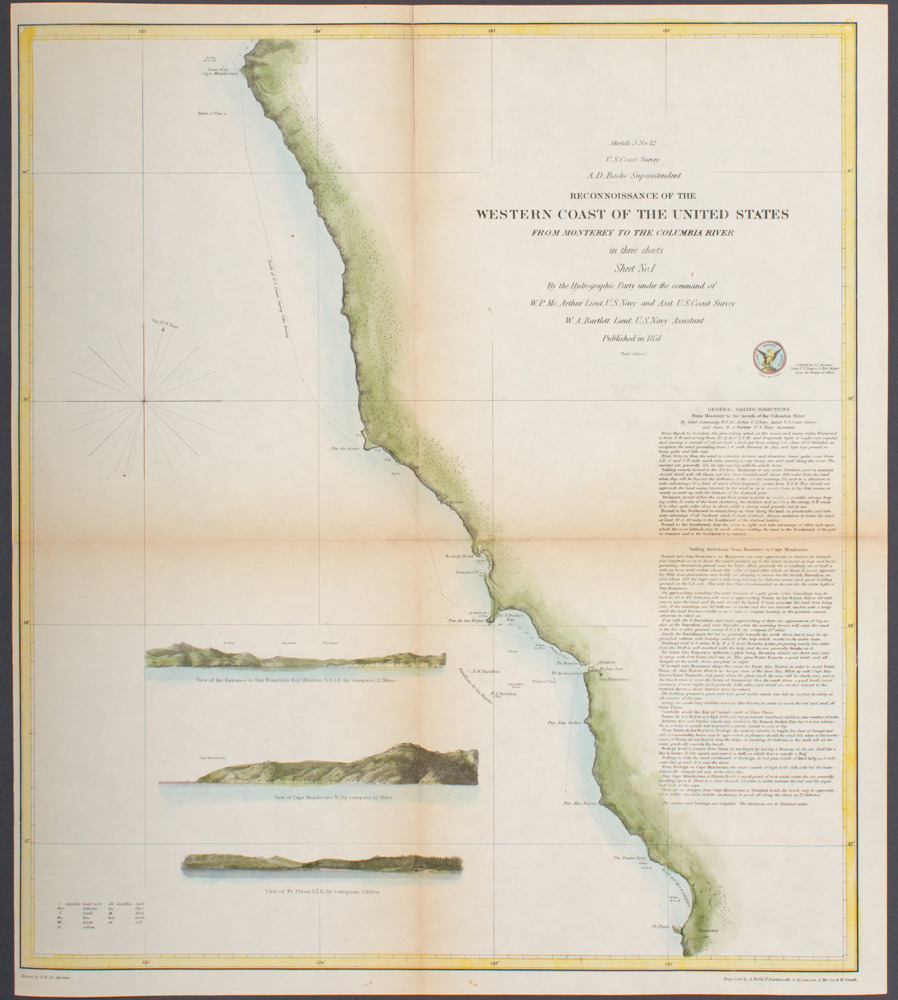
Sketch J No. 12 Reconnaissance of the Western Coast of the United States from Monterey to the Columbia River in three sheets Sheet No. 1
- Coast Survey chart of the Pacific Coast from Monterey to Mendocino with inset profile of the Golden Gate.
- Read moreQuick View
-
- Out of Stock
- Bay Area & Silicon Valley, Gold Rush maps
Preliminary Chart of Entrance to San Francisco Bay California
- Lovely hand-colored 1856 United States Coast Survey sea chart of the Bay Area.
- Read moreQuick View
-
- Out of Stock
- San Francisco
San Francisco Peninsula
- 1869 United States Coast Survey map of the San Francisco Peninsula
- Read moreQuick View
-
- Out of Stock
- Bay Area & Silicon Valley
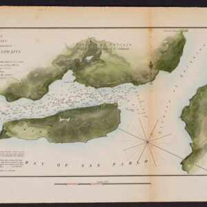
Sketch J No. 2 Mare Island Strait California
- 1851 United States Coast Survey map of Mare Island and Vallejo
- Read moreQuick View
-
