-
-
Add to cart
 Quick View
 - Americas, Atlases & Books, Canada and The Great Lakes, North America
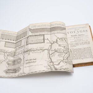
New Voyages to North-America. Containing an Account of the Several Nations of That Vast Continent…
- $8,500
- First English edition of Lahontan's description and mapping of New France, which propagated the myth of the Northwest Passage.
-
-
-
-
Add to cart
![[Vietnamese Maps of North America: Mexico, Canada, USA]](https://neatlinemaps.com/wp-content/uploads/2022/04/NL-01262-USA_thumbnail-scaled-300x300.jpg) Quick View
Quick View - Americas, Canada and The Great Lakes, Curiosities - Miscellanea, Mexico - Central & South America, United States
[Vietnamese Maps of North America: Mexico, Canada, USA]
- $675
- Three curious maps of North America made in South Vietnam.
-
-
-
-
Add to cart
 Quick View
 - Canada and The Great Lakes
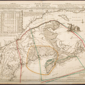
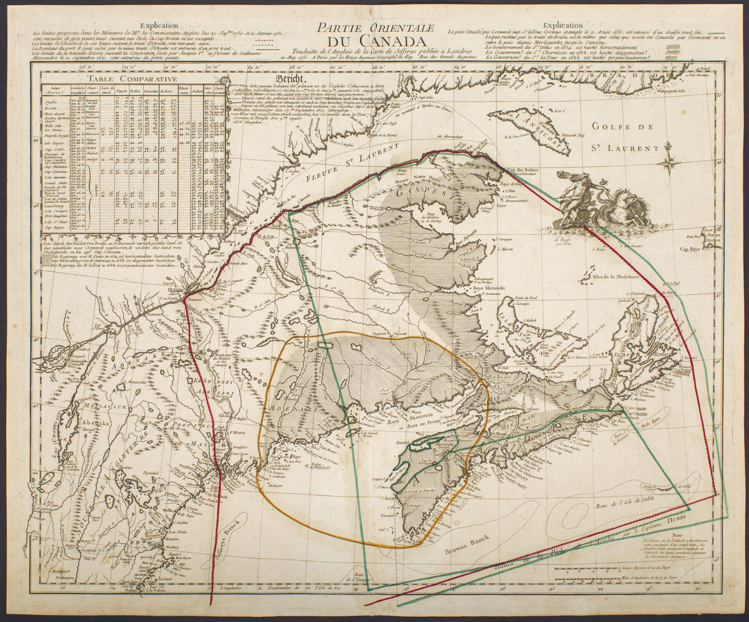
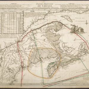
Partie Orientale Du Canada Traduite de l’Anglois de Carte de Jefferys publiée a Londres en May 1755…
- $2,850
- Scarce 1755 map of French and British historical claims, published in Paris on the eve of the Seven Years’ War.
-
-
-