-
-
Add to cartQuick View
- California, Southern California
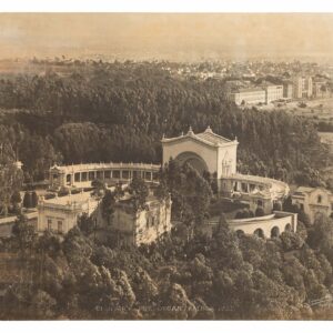
Balboa Park San Diego. Open Air Pipe Organ, Balboa Park.
- $1,400
- Large-format photograph of the Open Air Pipe Organ built in Balboa Park, San Diego, for the 1915 Panama-California Exhibition.
-
Add to cart
-
-
Add to cartQuick View
- California
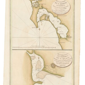
Plan of the Port of S. Diego in California. / Plan of the Port and Deparetement of S. Blas.
- $500
- The earliest acquirable map of the bay of San Diego.
-
Add to cart
-
-
Add to cartQuick View
- San Francisco
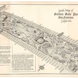
Guide Map of Golden Gate Park San Francisco, California.
- $650
- 1956 Ted Hubbard map of Golden Gate Park.
-
Add to cart
-
-
Add to cartQuick View
- San Francisco
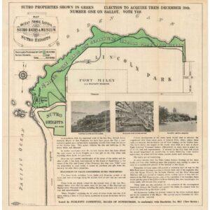
Map of the Ocean Shore Lands. Sutro Baths & Museum Sutro Heights.
- $875
- A large Britton & Rey cartographic advertisement for Sutro’s shore-lands.
-
Add to cart
-
-
Add to cartQuick View
- San Francisco
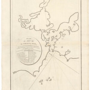
Plan du Port de St. François, Situé su la côte de la Californie Septentrionale.
- $975
- The world’s first detailed look at San Francisco.
-
Add to cart
-
-
Add to cartQuick View
- California
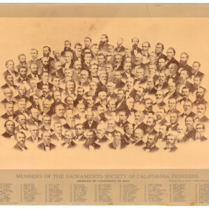
Members of the Sacramento Society of California Pioneers. Arrived in California in 1849.
- $900
- Group portrait of Sacramento’s ‘founding fathers,’ compiled by one of California’s pioneer photographers.
-
Add to cart
-
-
Add to cartQuick View
- California, Southern California
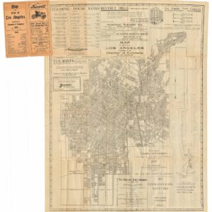
Map of the City of Los Angeles.
- $775
- The Dawn of the Automobile Age.
-
Add to cart
-
-
Add to cartQuick View
- Bay Area & Silicon Valley, California
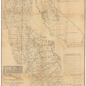
Map of the Sacramento Land District.
- $500
- A Scarce Early 20th Century Survey Map of Northern California.
-
Add to cart
-
-
Add to cartQuick View
- California
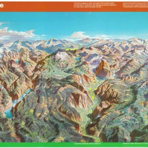
Yosemite.
- $2,400
- A stunning bird's-eye-view of Yosemite National Park by one of the most important innovators of 'natural cartography' in the 20th century.
-
Add to cart
-
-
Add to cartQuick View
- California, Bay Area & Silicon Valley
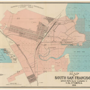
Map of South San Francisco, San Mateo County, California.
- $1,600
- A large-format urban plan of South San Francisco.
-
Add to cart
-
-
Add to cartQuick View
- San Francisco
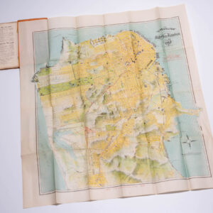
The “Chevalier” Commercial, Pictorial and Tourist Map of San Francisco From Latest U.S. Gov. and Official Surveys. Designed-Engraved And Copyrighted By Aug. Chevalier, Lithographer Publisher, 507 Mission St. San Francisco.
- $2,900
- Chevalier's famous map of San Francisco for the 1915 Exposition with original booklet.
-
Add to cart
-
-
Add to cartQuick View
- California, Bay Area & Silicon Valley
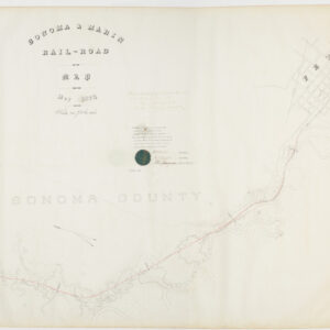
Sonoma & Marin Rail-Road Map, May 1875.
- $3,800
- Railroad manuscript map with early Petaluma town plan and survey work down to Marin County.
-
Add to cart
