-
-
Add to cartQuick View
- Europe, Spain & Portugal
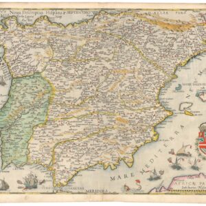
Nova Descriptio Hispaniae.
- $3,800
- One of the finest maps of the Iberian Peninsula ever produced, in excellent original color.
-
Add to cart
-
-
Add to cartQuick View
- Europe, Spain & Portugal
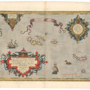
Acores Insulae.
- $950
- Discover the strategic and navigational significance of the 16th-century Azores with Ortelius' beautiful 1584 map from the famous Theatrum Orbis Terrarum.
-
Add to cart
-
-
Add to cartQuick View
- Europe, France & Switzerland
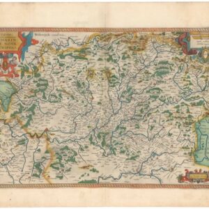
Lorraine. Lotharingiae Nova Descriptio.
- $450
- Old color Ortelius map of the Franco-German border region Lorraine.
-
Add to cart
-
-
Add to cartQuick View
- Europe, France & Switzerland
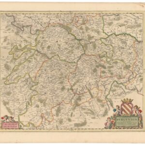
Ducatus Burgundiae Nova Descriptio Divisa, Correcta, et Edita.
- $475
- A gorgeous, old color 17th-century map of the Bourgogne wine district.
-
Add to cart
-
-
Add to cartQuick View
- Europe, Russia & Eastern Europe
Carte de l’Esclavage en U.R.S.S.
- $875
- An early map of Stalin’s horrific Gulag system by one of the most ardent critics of Communism in the United States.
-
Add to cart
-
-
Add to cartQuick View
- Europe, World War I and World War II
[Persuasive Cartography] Ubootswirkung im Mittelmeer.
- $1,900
- World War I propaganda map of German submarine attacks.
-
Add to cart
-
-
Add to cartQuick View
- Europe, Russia & Eastern Europe
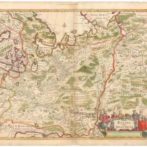
Tabula Russia Vulgo Moscovia.
- $425
- A grand depiction of the Russian Empire by one of the best representatives of the Golden Age of Dutch cartography.
-
Add to cart
-
-
Add to cartQuick View
- Europe, Iceland & Scandinavia
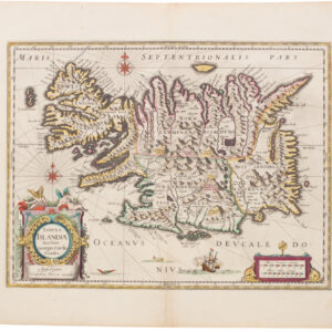
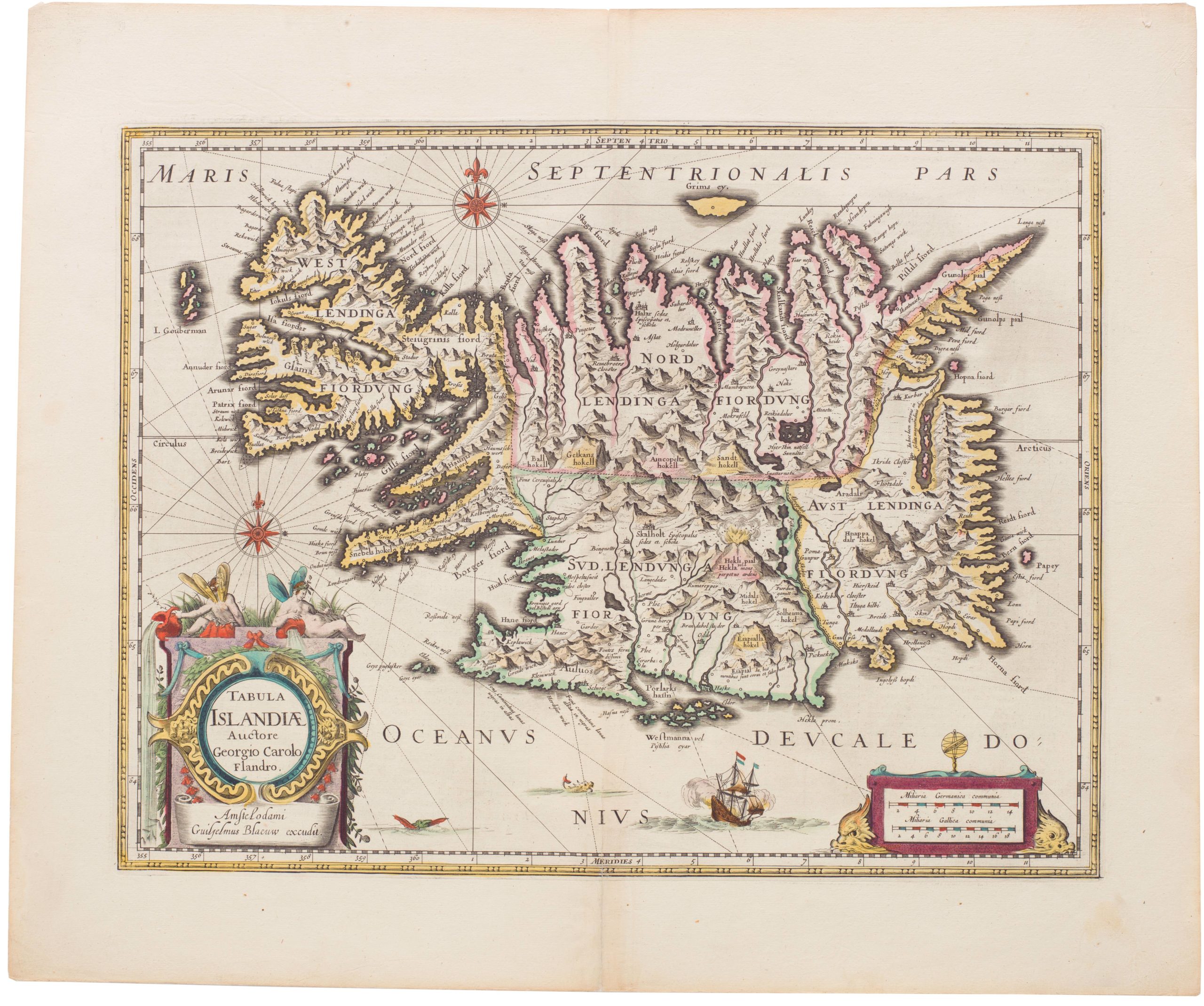
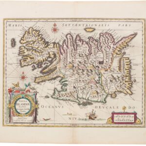
Tabula Islandiae
- $1,000
- Blaeu’s stunning Carolus Map of Iceland: A Landmark in North Atlantic Cartography.
-
Add to cart
-
-
Add to cartQuick View
- British Isles, Europe
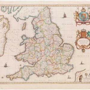
Anglia Regnum.
- $550
- Willem Blaeu's elegant mid-17th-century map of England and Wales.
-
Add to cart
-
-
Add to cartQuick View
- Europe, Iceland & Scandinavia
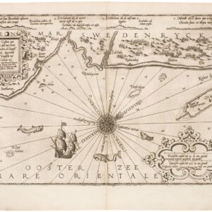
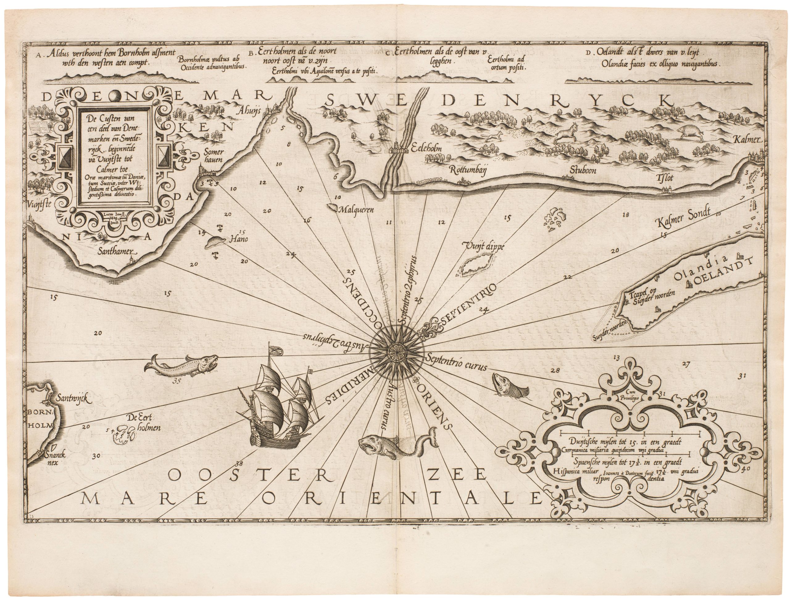
De Custen van een deel van Denemarken en Swederijck, beginnede va Vuijtste to Calmer Toe…
- $900
- Waghenear’s gorgeous 16th-century sea chart of Sweden’s Baltic coastline.
-
Add to cart
-
-
Add to cartQuick View
- Europe, Iceland & Scandinavia
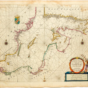
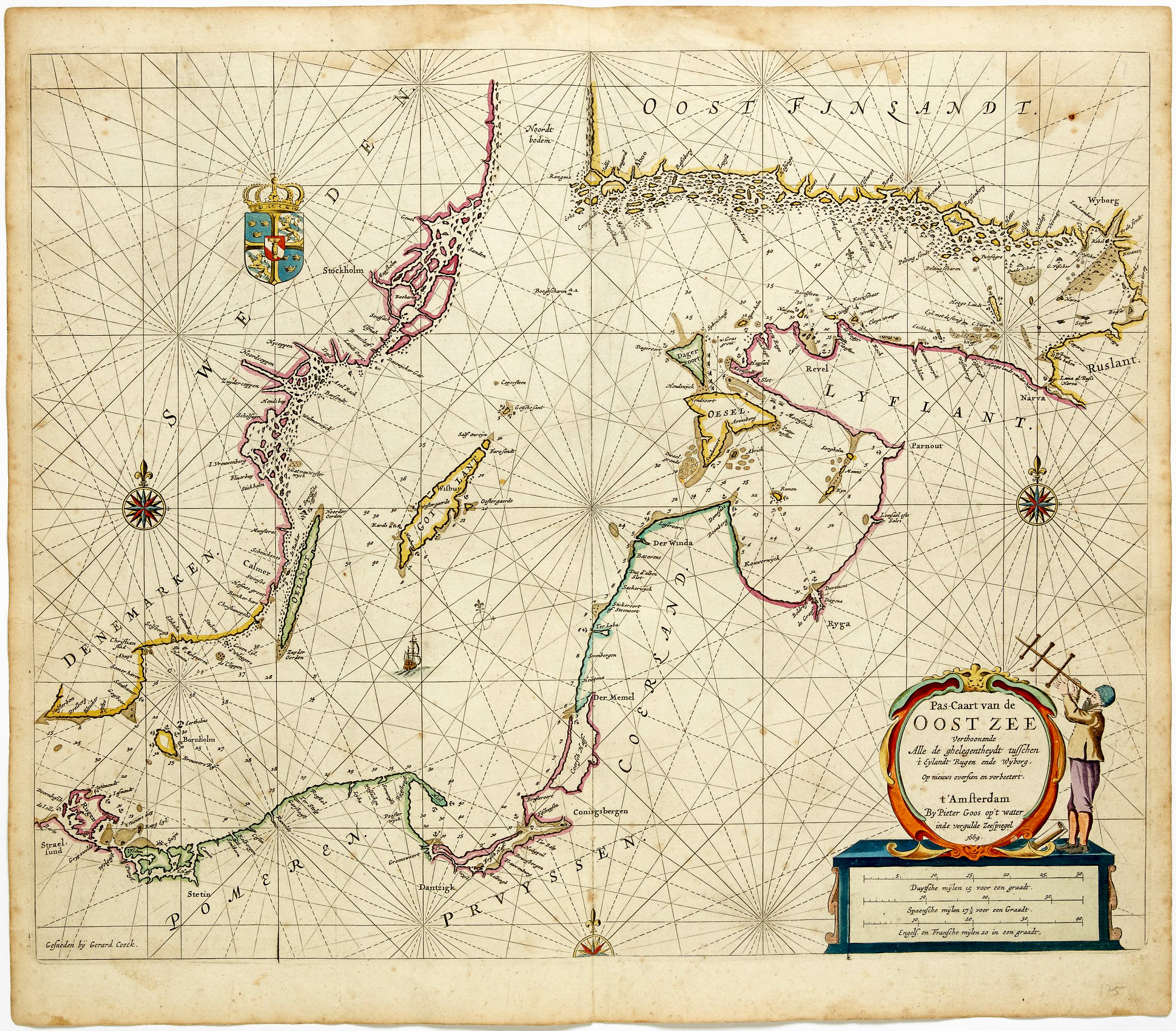
Pas-caart van de Oost zee verthoonende alle de ghelegntheydet tusschen t Eÿlandt Rugen end Wÿborg
- $975
- Striking, original-color nautical chart of the Baltic Sea by Pieter Goos.
-
Add to cart
-
-
Add to cartQuick View
- Europe, Greece & the Balkans
Fortezza di Soppoto [Albania].
- $850
- Bertelli’s view of the Venetian siege of Ottoman Soppoto in 1570.
-
Add to cart

![[Persuasive Cartography] Ubootswirkung im Mittelmeer.](https://neatlinemaps.com/wp-content/uploads/2024/05/NL-01997_thumbnail-300x300.jpg)
![Fortezza di Soppoto [Albania].](https://neatlinemaps.com/wp-content/uploads/2023/05/NL-01333_thumbnail-300x300.jpg)