-
-
Add to cart
 Quick View
- East & Midwest United States, Pictorial maps, United States
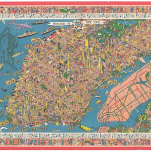
Wonders of New York.
- $1,800
- Nils Birger Hansell's Famous 1953 “Wonders of New York.”
-
-
-
-
Add to cart
 Quick View
- East & Midwest United States, United States
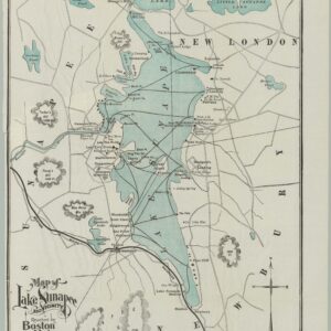
Map of Lake Sunapee and Vicinity.
- $200
- Boston and Maine Railroad’s Promotional Map of Lake Sunapee, New Hampshire’s Western Lakes Resort.
-
-
-
-
Add to cart
 Quick View
- East & Midwest United States, United States
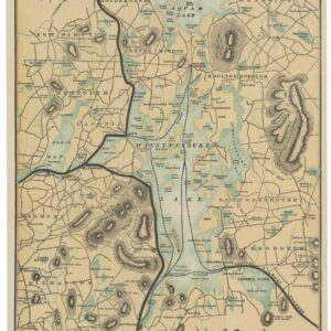
Map of Lake Winnipesaukee and Vicinity.
- $350
- Rail Lines, Steamer Routes, and the Summer Resort Network of New England’s Most Fashionable Lake.
-
-
-
-
Add to cart
 Quick View
- East & Midwest United States, United States
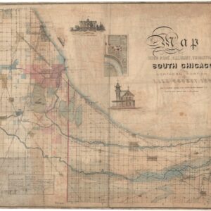
Map of Hyde Park, Calumet, Thornton, South Chicago and Northern Portion of Lake County, Ind. owing to the natural advantages of its situation South Chicago is to become the great industrial center of the north west.
- $8,500
- Exceedingly Rare South Chicago Map published just months before the Great Chicago Fire of 1871.
-
-
-
-
Add to cart
 Quick View
- East & Midwest United States, United States
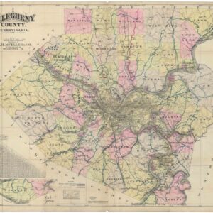
Allegheny County, Pennsylvania. Published by A.H. Mueller & Co., 2nd & 340 Locust St., Philadelphia, PA.
- $475
- Pittsburgh in 1912: Mueller's Large County Road Map at the Moment the Automobile Was Rewriting Every Road in Allegheny County.
-
-
-
-
Add to cart
 Quick View
- East & Midwest United States, Featured Maps & Views
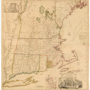
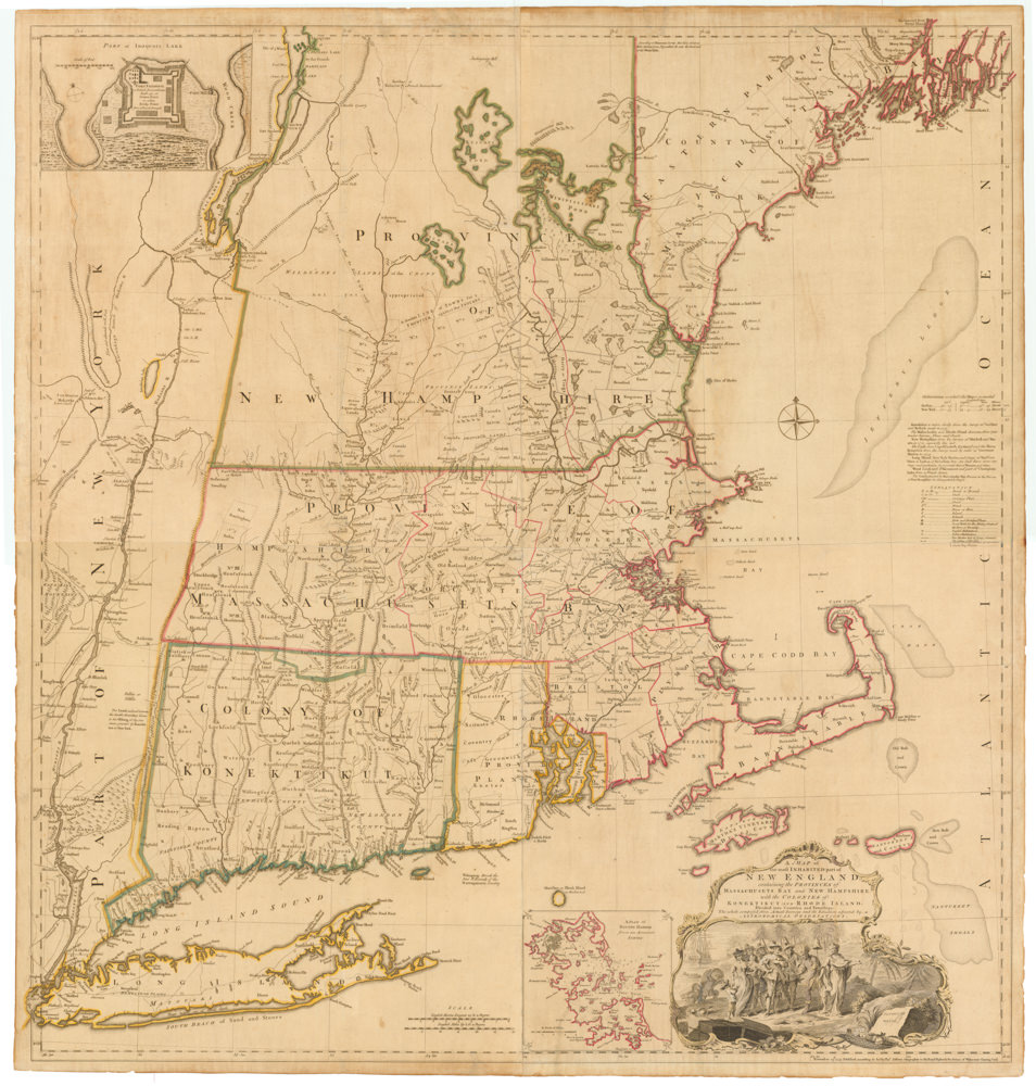
A MAP of the most INHABITED part of NEW ENGLAND, containing the PROVINCES of MASSACHUSETS BAY and NEW HAMPSHIRE, with the COLONIES of KONEKTIKUT AND RHODE ISLAND…
- $45,000
- Unobtainable first state of one of the most influential maps of New England ever made.
-
-
-
-
-
Add to cart
 Quick View
- East & Midwest United States, United States
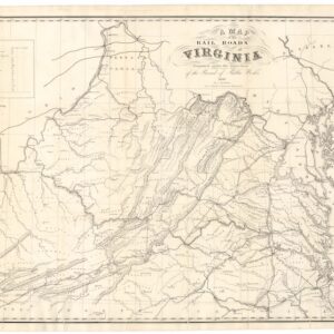
A Map of the Rail Roads of Virginia Prepared Under the Direction of the Board of Public Works.
- $4,800
- Rare Pre-Civil War Virginia Railroad Map Printed in Richmond, 1858.
-
-
-
-
Add to cart
 Quick View
- East & Midwest United States, United States
Gettysburg. Repulse of Longstreet’s Assault.
- $900
- Bachelder’s magnificent rendering of Longstreet’s Assault (Pickett's Charge).
-
-
-
-
Add to cart
 Quick View
- East & Midwest United States, Featured Maps & Views, United States
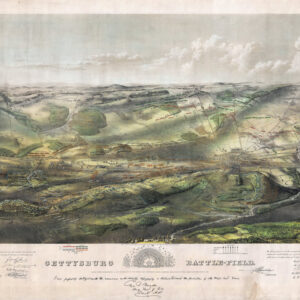
Gettysburg Battle-Field.
- $2,400
- Bachelder's iconic 1863 view of the Battle of Gettysburg.
-
-
-
-
Add to cart
 Quick View
- East & Midwest United States, United States
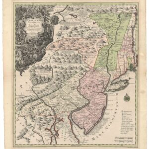
Pensylvania Nova Jersey et Nova York cum Regionibus Ad Fluvium Delaware…
- $2,900
- Seutter’s first state map of Pennsylvania, Jersey, and New York, with original color.
-
-
-
-
Add to cart
 Quick View
- Atlases & Books, East & Midwest United States, United States
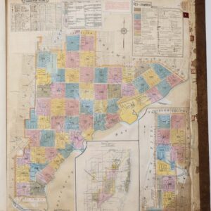
Insurance Maps of Miami, Florida Volume Three.
- $7,500
- Sanborn Fire Insurance Atlas of Miami, Florida – Volume 3: Coconut Grove & Silver Bluff.
-
-
-
-
Add to cart
 Quick View
- East & Midwest United States
Carte De La Floride Occidentale et Louisiane…[with] La Peninnsule Et Golfe De La Floride ou Canal De Bahama Avec Les Isles De Bahama Traduit de Gefferys…1777.
- A scarce 1777 French map of Florida and the Gulf Coast.
-
-