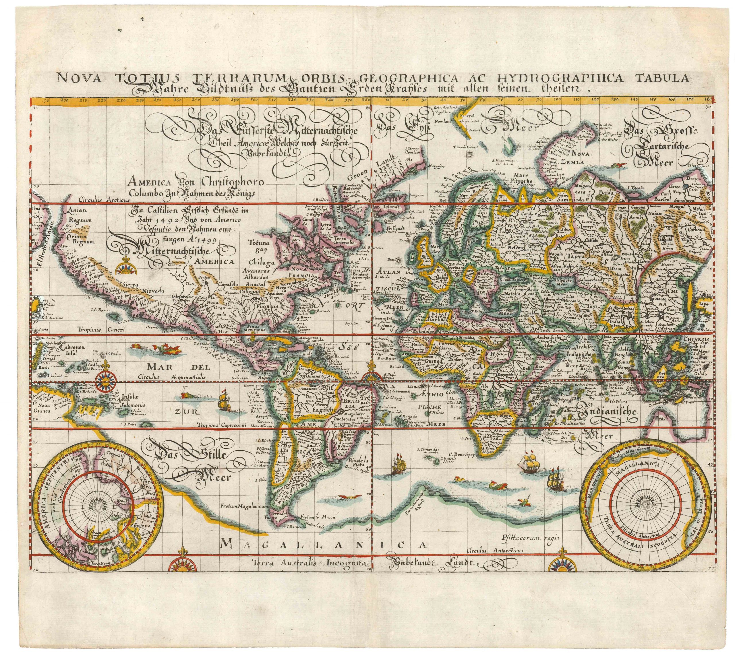
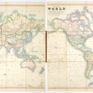
1703 Scherer world map with decorative Catholic iconography.
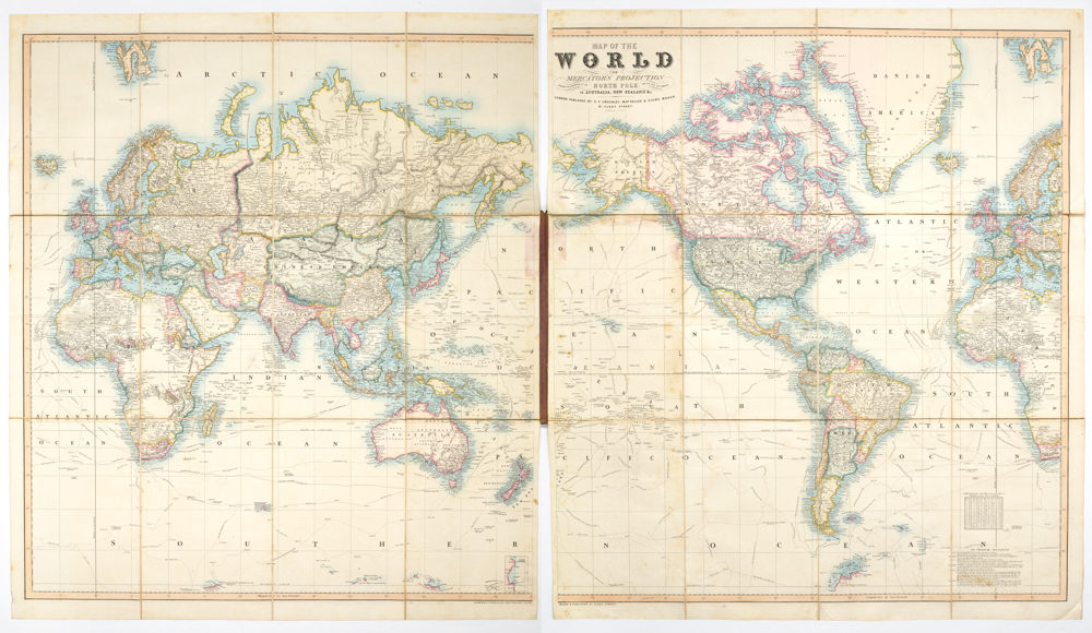
World Map [without title]
Out of stock
Description
Map centered on the Pacific Ocean, decorated with four allegorical figures representing the continents looking towards a central figure of the Madonna.
Cartographer(s):
Heinrich Scherer (1628-1704) was Professor of Hebrew, Mathematics, and Ethics at the University of Dillingen until about 1680. Thereafter he obtained important positions as Official Tutor to the Royal Princes of Mantua and Bavaria. It was during his time in Munich as Tutor to the Princely House of Bavaria that his lifetime’s work as a cartographer received acclaim and recognition.
Scherer’s Atlas Novus, first published in Munich between 1702 and 1710 and reissued in a second edition between 1730 and 1737, forms a singularly unusual, almost revolutionary work in terms of the development of European mapmaking at the beginning of the 18th century.
Condition Description
Some discoloration along the reinforced centerfold; very good.
References