-
-
Add to cart
![Cuba Insula [with] Hispaniola Insula [with] Insula Jamaica [with] Ins. S. Ioannis [with] I.S. Margareta Cum Confiniis](https://neatlinemaps.com/wp-content/uploads/2019/09/NL-00611_thumbnail-300x300.jpg) Quick View
Quick View - Cuba, West Indies, Caribbean
Cuba Insula [with] Hispaniola Insula [with] Insula Jamaica [with] Ins. S. Ioannis [with] I.S. Margareta Cum Confiniis
- $400
- Rare English edition of the Mercator-Hondius map of Carribean islands, including an inset of Havana.
-
-
-
-
Add to cart

 Quick View
 - California, Pacific Northwest - Hawaii - Alaska
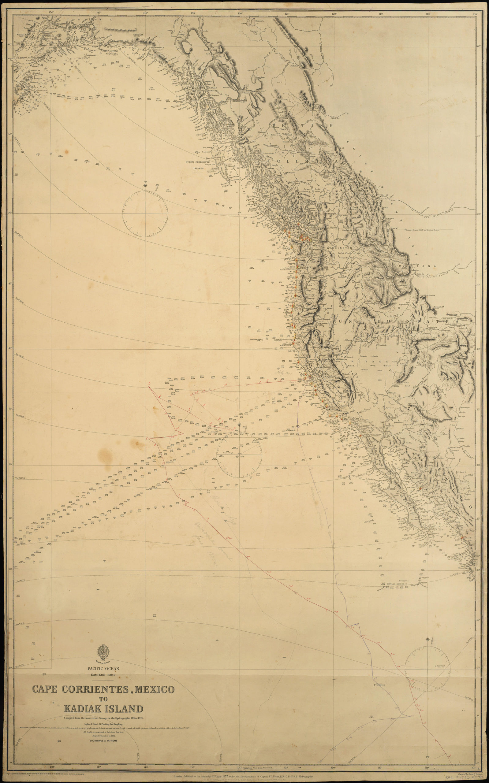
Pacific Ocean. Eastern Part. Cape Corrientes, Mexico to Kadiak Island. Compiled from the most recent Surveys in the Hydrographical Office. 1876. London, 21 June 1877
- $900
- Large, detailed sea chart of the West Coast of North America with added notations and sighting information.
-
-
-
-
-
Add to cart
 Quick View
 - Southeast Asia & Australia, Asia
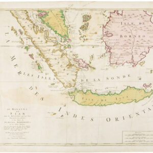
Le Royaume de Siam avec les Royaumes qui luy sont Tributaires…
- $525
- Gorgeous Dutch map of the southern Malay peninsula, Sumatra, Borneo, and Java.
-
-
-
-
Add to cart
 Quick View
 - Asia, Southeast Asia & Australia
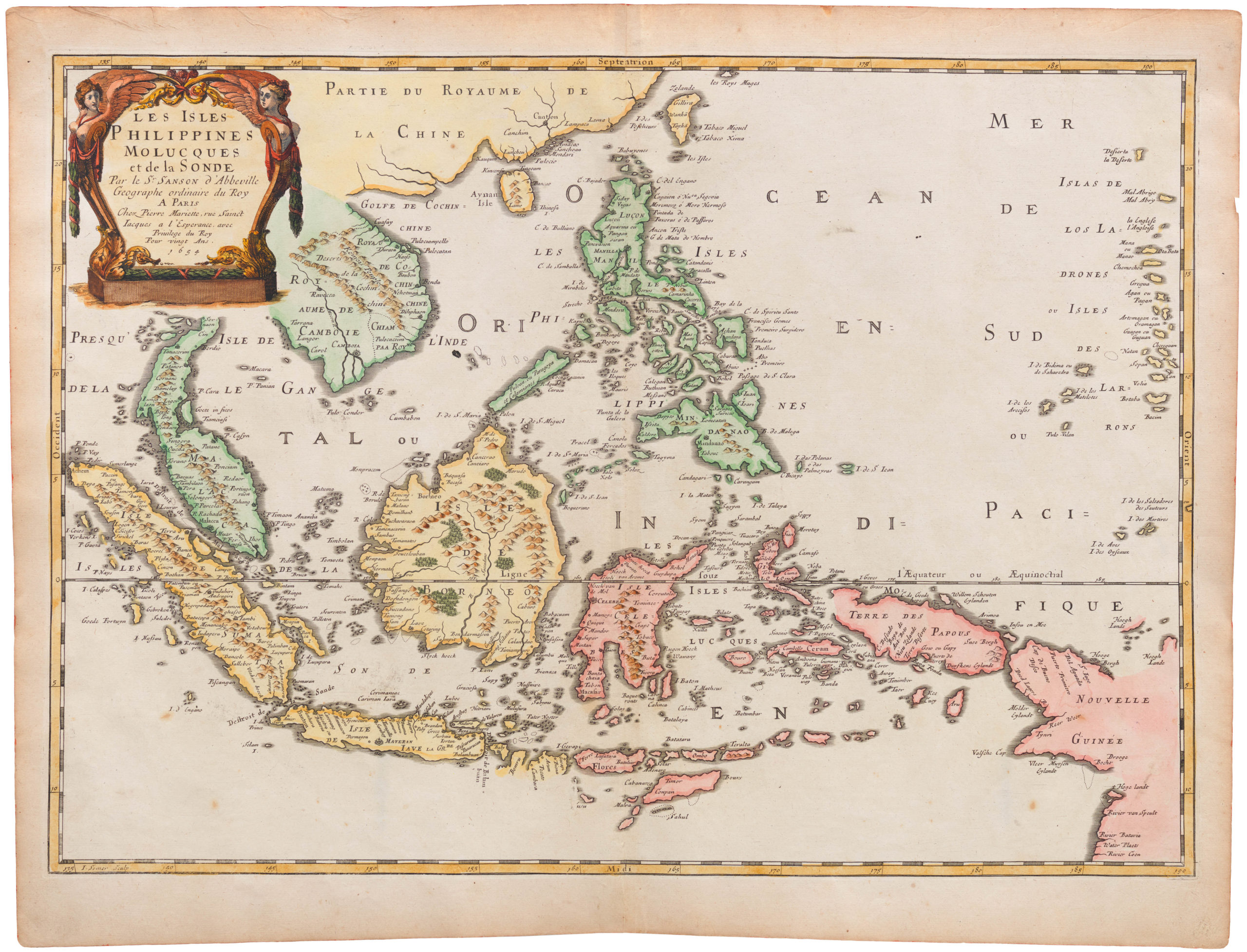
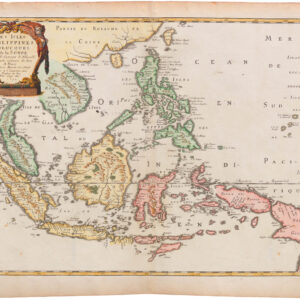
Les Isles Philippines Molucques et de la Sonde
- $875
- Fine 1654 French map centered on the Philippines, and with Singapore.
-
-
-
-
-
Add to cart
 Quick View
 - Arabia and the Red Sea
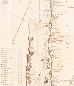
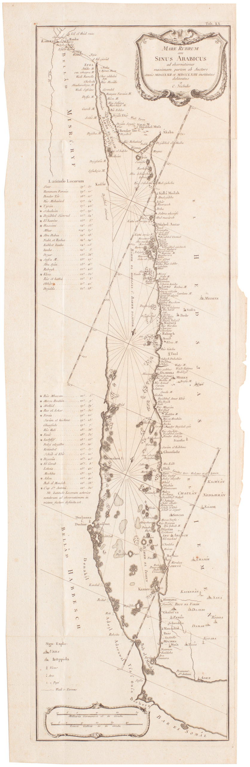
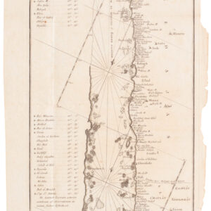
Mare Rubrum seu Sinus Arabicus ad observationes maximam partem ab Auctore annis MDCCLXII et MDCCLXIII institutas delineatus a C. Niebuhr
- $800
- Carsten Niebuhr's transformative map of the Red Sea.
-
-
-
-
-
Add to cart
 Quick View
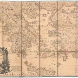
 - Europe, Greece & the Balkans
Greece Archipelago and part of Anadoli. By L.S. de la Rochette. MDCCXC. London, Published for Willm. Faden, Geographer to the King. January 1st. 1791
- Large, detailed 1791 map of Greece and Asia Minor with striking cartouche.
-
-