-
-
Add to cart

 Quick View
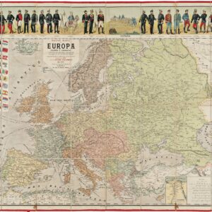
 - Europe, Italy, Bird's-eye-views
Lago di Como
- $4,000
- Francesco Citterio's fantastic mid-19th century panorama of Lake Como.
-
-
-
-
-
Add to cart

 Quick View
 - Europe, Italy
A Topographical Map of the Republick of Genoua, Taken from the Celebrated Map by Chaffrion…1764 / To the Right Honourable James Steward Mackenzie, Lord Privy Seal of Scotland, One of His Majesty’s most Honourable Privy Council, and Late His Majesty’s Envoy Extraordinary and Plenipoteniary to the King Of Sardina. This Map is most Humbly Inscribed…
- $4,400
- A spectacular and historically important 18th century wall-map of the Republic of Genoa.
-
-
-
-
-
Add to cart
 Quick View
 - Europe, Greece & the Balkans
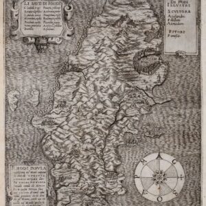
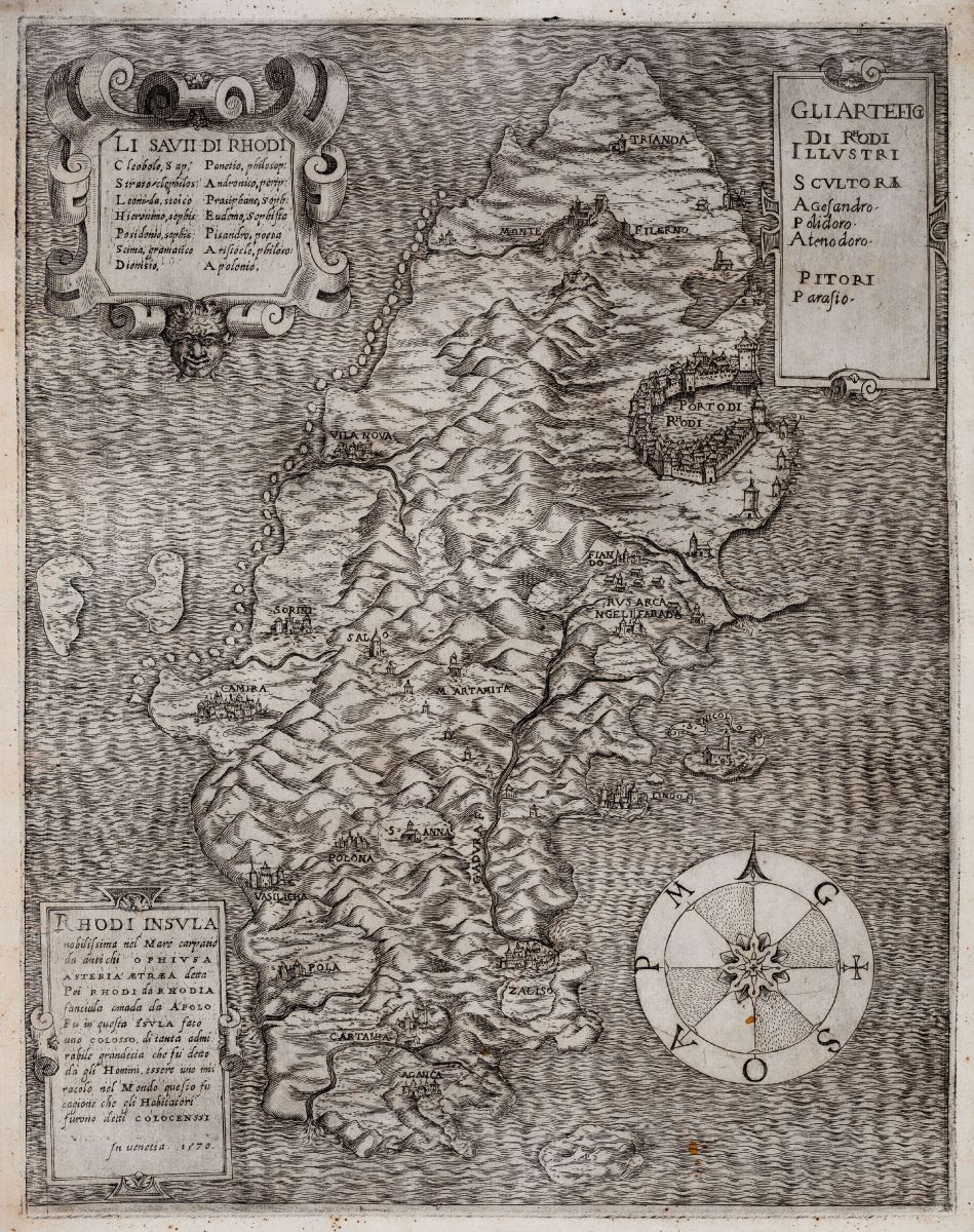
Rhodi Insula nobilissima nel Mare
- $3,400
- A fantastic rarity of the island of Rhodes.
-
-
-
-
-
Add to cart
 Quick View
 - Spain & Portugal
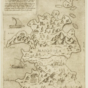
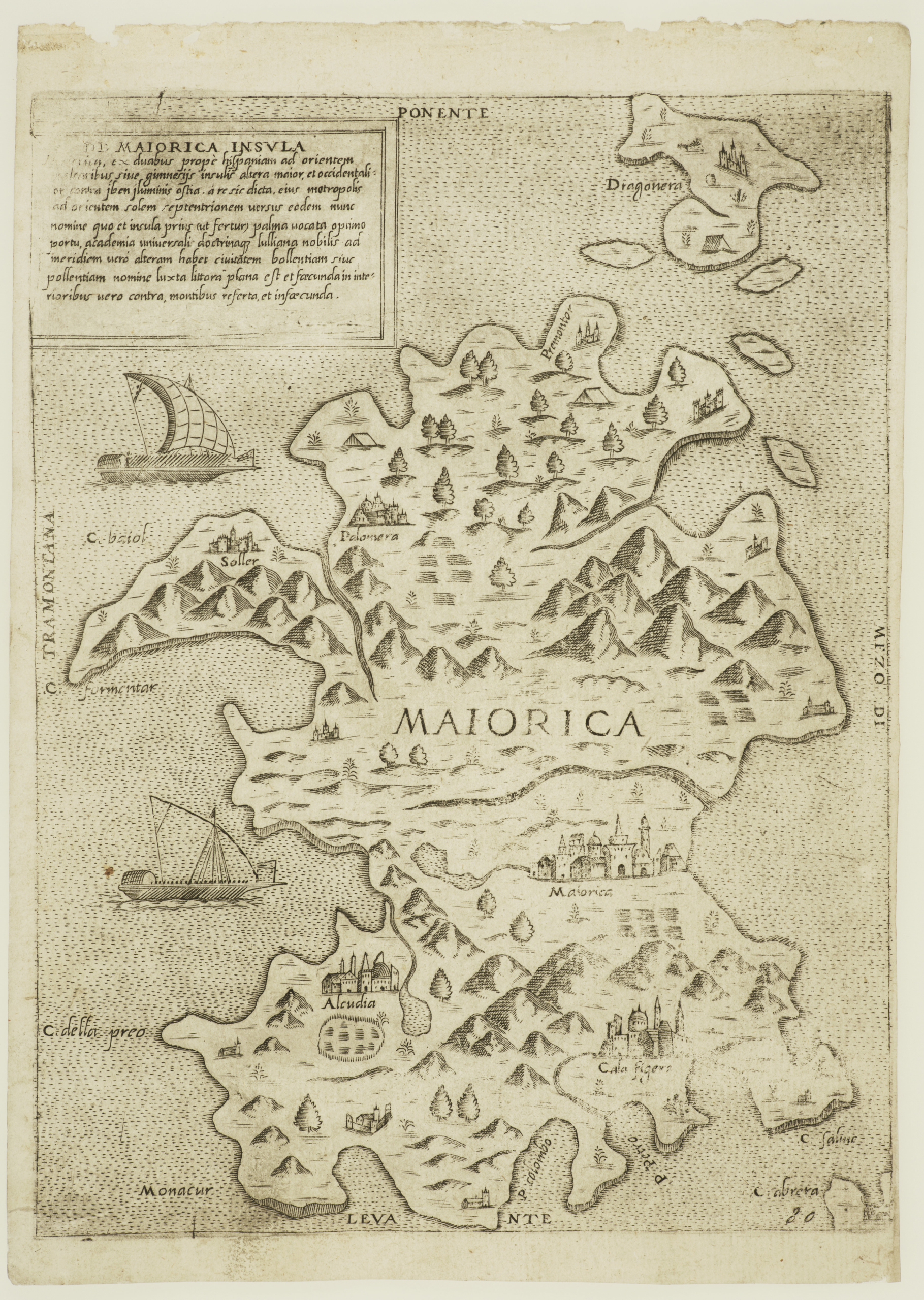
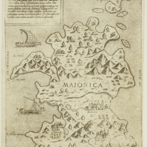
De Maiorica Insula.
- $775
- Rare Lafreri-school map of the island of Mallorca.
-
-
-
-
-
Add to cart
![[Map of Steamship Routes and the Railways and Post Roads of the Russian Empire]](https://neatlinemaps.com/wp-content/uploads/2020/04/NL-00827_Thumbnail-300x300.jpg)
![[Map of Steamship Routes and the Railways and Post Roads of the Russian Empire]](https://neatlinemaps.com/wp-content/uploads/2020/04/NL-00827-scaled.jpg) Quick View
Quick View - Europe, Russia & Eastern Europe
[Map of Steamship Routes and the Railways and Post Roads of the Russian Empire]
- $1,850
- In-progress construction of the Trans-Siberian Railway: a scarce wall map depicting the transportation network of the Russian Empire at the end of the 19th century.
-
-
![[Map of Steamship Routes and the Railways and Post Roads of the Russian Empire]](https://neatlinemaps.com/wp-content/uploads/2020/04/NL-00827-scaled-300x300.jpg)
-
-
-
Add to cart
![[Title in Russian] Russian Empire in the 18th Century (European Section)](https://neatlinemaps.com/wp-content/uploads/2020/04/NL-00822_Thumbnail-300x300.jpg)
![[Title in Russian] Russian Empire in the 18th Century (European Section)](https://neatlinemaps.com/wp-content/uploads/2020/04/NL-00822-scaled.jpg) Quick View
Quick View - Russia & Eastern Europe, Curiosities - Miscellanea
[Title in Russian] Russian Empire in the 18th Century (European Section)
- $675
- Educating school children during the Cold War: Soviet historical wall map of the Russian Empire in the 18th century.
-
-
![[Title in Russian] Russian Empire in the 18th Century (European Section)](https://neatlinemaps.com/wp-content/uploads/2020/04/NL-00822-scaled-300x300.jpg)
-
-
-
Add to cart
 Quick View
 - Europe, Spain & Portugal, Pictorial maps
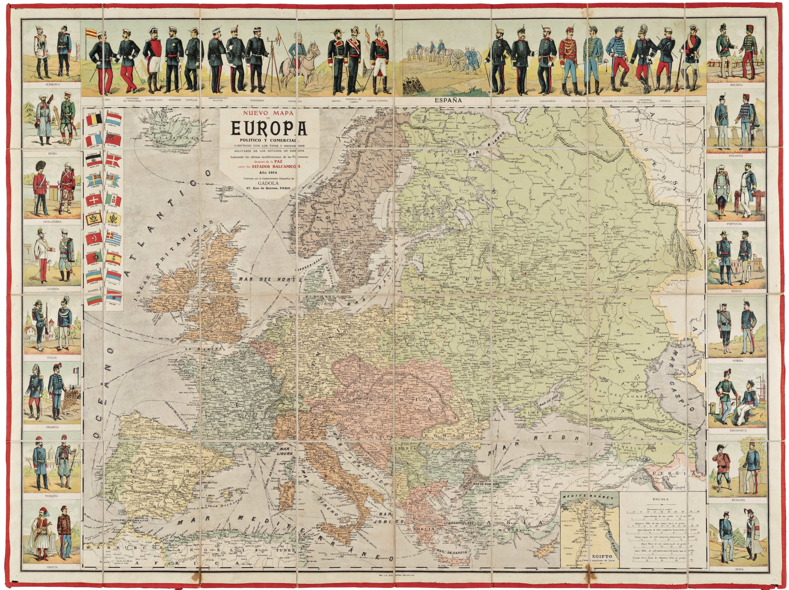
Nuevo Mapa de Europa Politico y Comercial Illustrado con los Tipos y Uniformes Militares de los Estados de Europa…
- $575
- Decorative World War I map of Europe with military uniforms and up-to-date borders.
-
-
-
-
-
Add to cart
 Quick View
 - Featured Maps & Views, Europe, Germany & the Netherlands
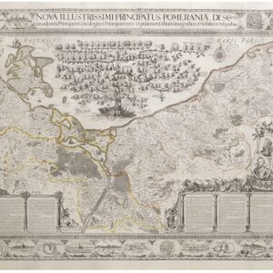
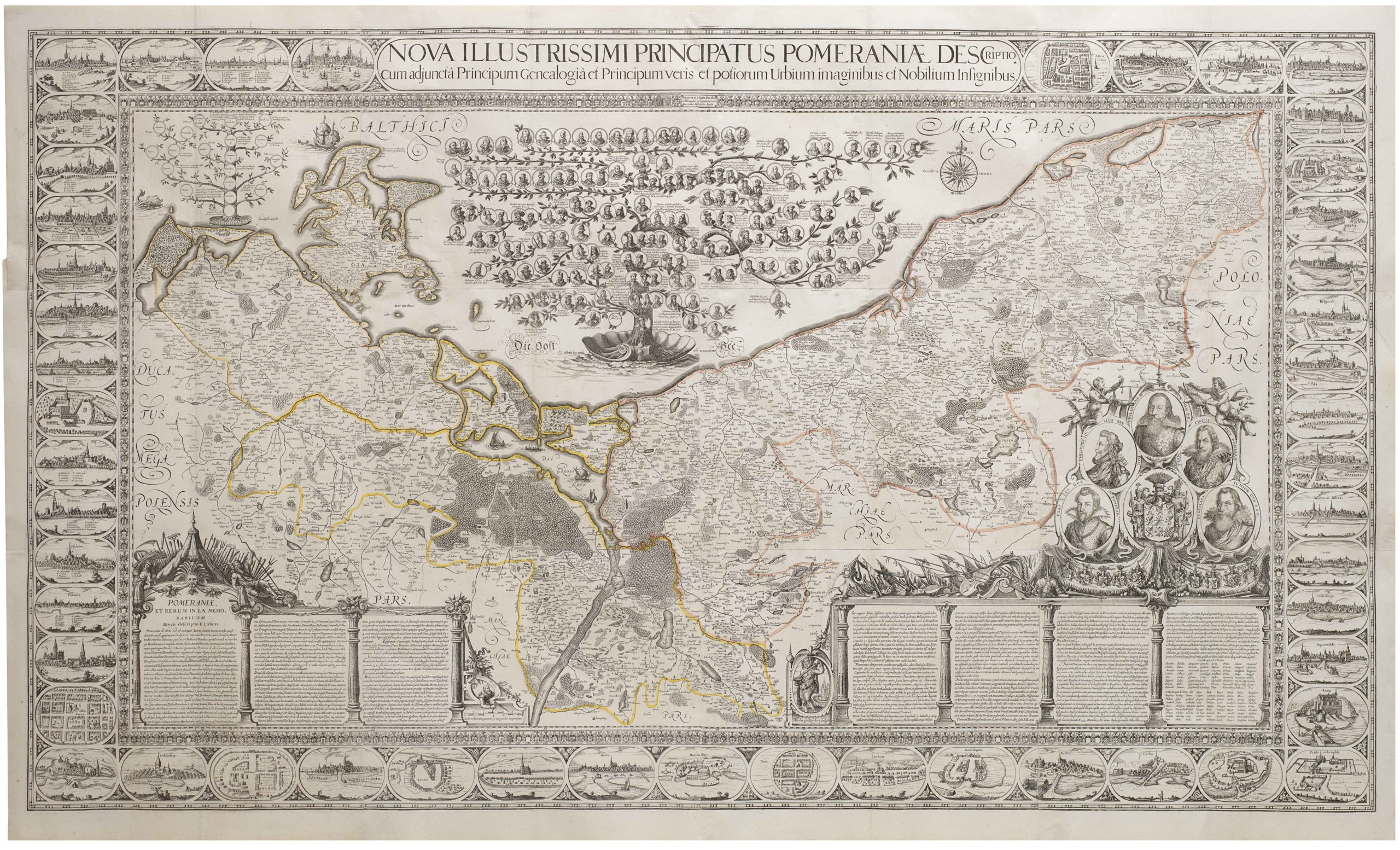
Nova Illustrissimi Principatus Pomeraniae Descriptio
- $27,000
- An exceptionally rare cartographic masterpiece — the finest and most important map of Pomerania, the plates of which were rediscovered in an attic after lost during the Thirty Years’ War.
-
-
-
-
-
Add to cart
![Delimitation de la Zone Occupee [German Occupation of France]](https://neatlinemaps.com/wp-content/uploads/2019/12/NL-00782-scaled-300x300.jpg)
![Delimitation de la Zone Occupee [German Occupation of France]](https://neatlinemaps.com/wp-content/uploads/2019/12/NL-00782-scaled.jpg) Quick View
Quick View - Europe, France & Switzerland, World War I and World War II
Delimitation de la Zone Occupee [German Occupation of France]
- $1,000
- After the Fall of France: administrative map of German occupation published during World War II.
-
-
-
-
-
Add to cart
 Quick View
 - Europe, Spain & Portugal
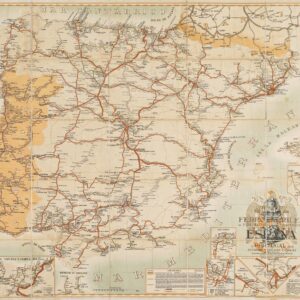
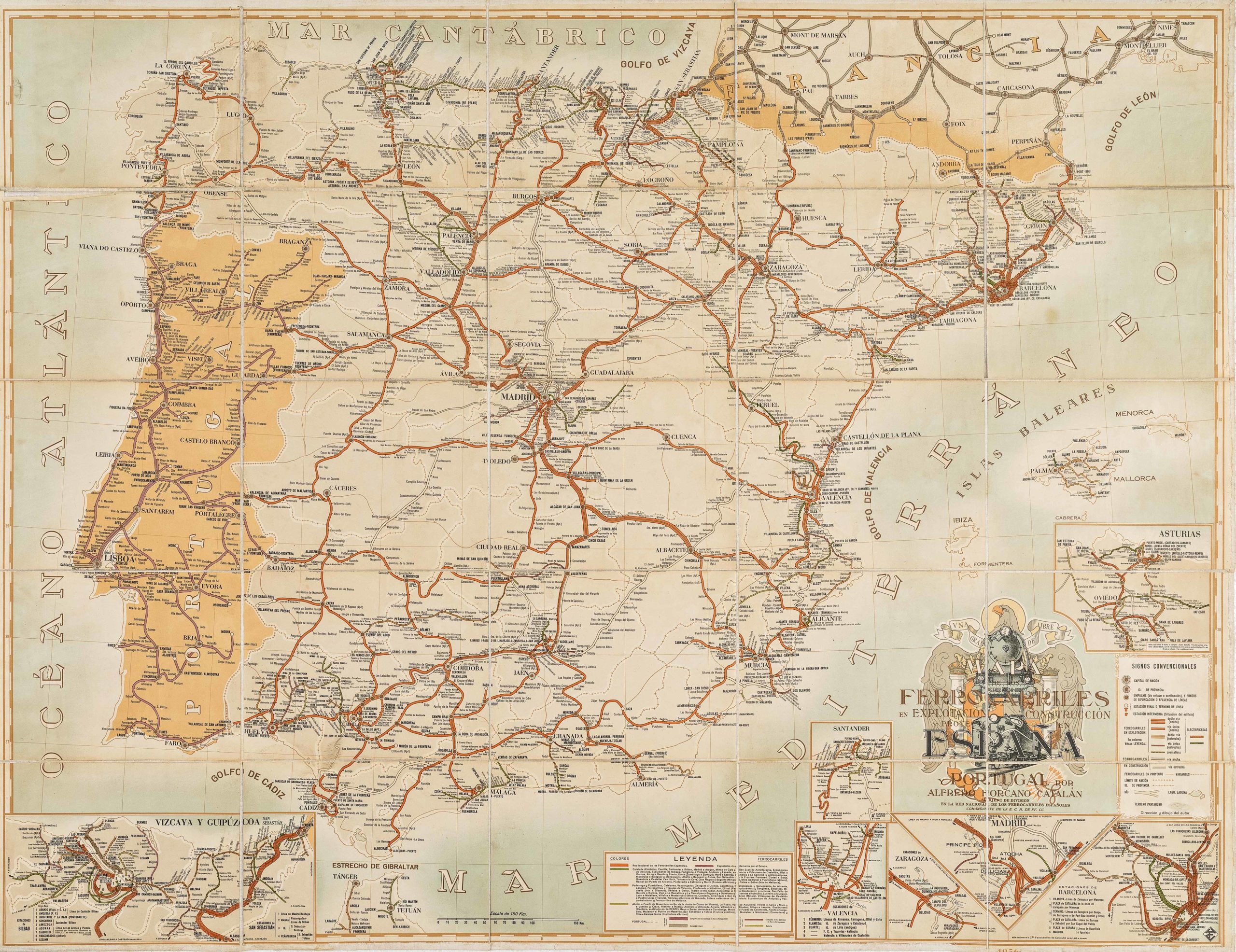
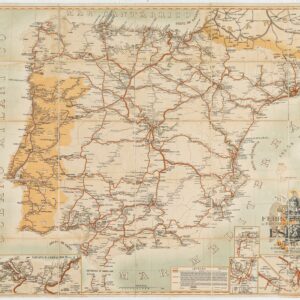
Mapa de los ferrocarriles en explotación, construcción y proyecto en España y Portugal
- $775
- Absolutely gorgeous 1956 railroad map of Spain and Portugal with Francoist coat-of-arms.
-
-
-
-
-
-
Add to cart

 Quick View
 - Bird's-eye-views, Europe, France & Switzerland
Klassischer Boden oder Malerisches Relief des Vierwaldstättersees / Plan Pittoresque du Lac des IV Cantons 1853. Lith Frères Eglin à Lucerne.
- $1,250
- Spectacular panoramic view of Lake Lucerne, with dynamic topographic relief and pictorial cities and towns.
-
-
-

-
-
-
Add to cart
 Quick View
 - Germany & the Netherlands
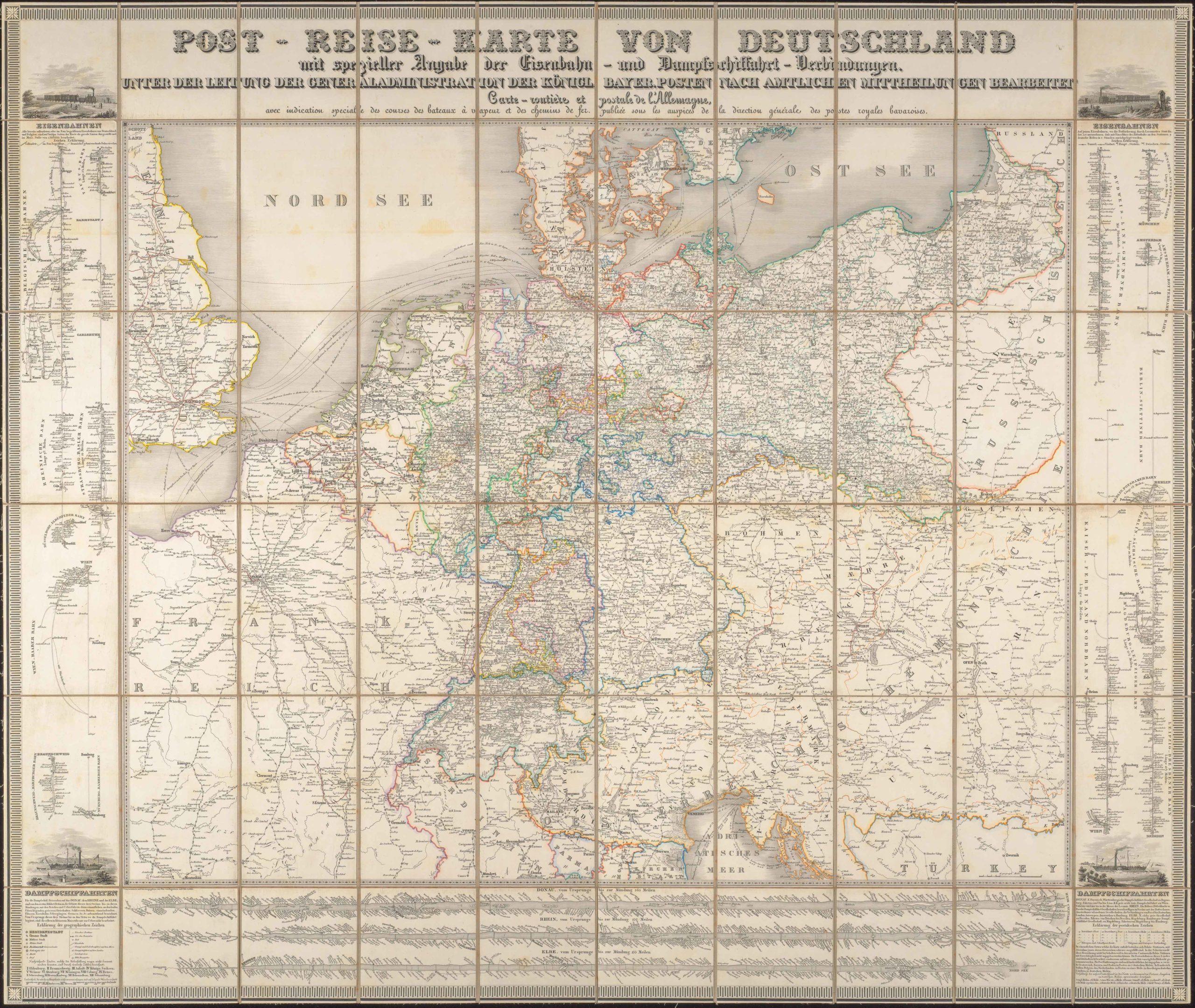
Post-Reise-Karte von Deutschland mit spezieller Angabe der Eisenbahn- und Dampfschiffahrt-Verbindungen, unter der Leitung der Generaladministration der Königl. Bayer. Posten nach amtlichen Mittheilungen bearbeitet. Carte routi’ere et postale de l’Allemagne.
- $425
- A large-format 1843 post-road and transportation map of the German Confederation.
-
-
-