-
- Add to cart
- Europe, Italy
Regni & Insulae Siciliae tabula geographica…
- $575
- Superb mid-19th century map of Sicily.
-
- Add to cart
- British Isles, Europe
Nouvelle Carte d’Angleterre, d’Ecosse et d’Irlande, avec instructions pour connoitre les differents etats de la couronne d’Angleterre en Europe, Asie, Afrique, et Amerique
- $675
- Chatelain’s early 18th-century rendition of the British Isles, including royal heraldry and a depiction of California as an island!
-
- Add to cart
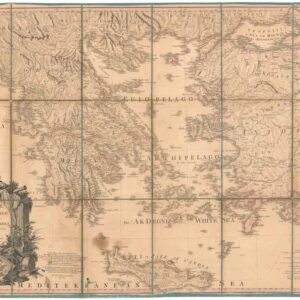
- Europe, Greece & the Balkans
Greece Archipelago and part of Anadoli. By L.S. de la Rochette. MDCCXC. London, Published for Willm. Faden, Geographer to the King. January 1st. 1791
- $400
- Large, detailed 1791 map of Greece and Asia Minor with striking cartouche.
-
- Add to cart
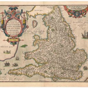
- British Isles, Europe
Angliae Regni Florentissimi Nova Descriptio, Auctore Humfredo Lhuyd Denbygiense
- $975
- Lovely 1574 Ortelius map of England and Wales with elaborate cartouche.